
Introduction
The Donauradweg cycle path follows the Danube from its source in Donaueschingen to its end in the Black Sea. This page covers from Donaueschingen to Bratislava. Bikeline‘s estimate of the this distance is 986Km.
Our plan was to cycle the distance in two stages: firstly from Donaueschingen to Passau (600Km) in 8.5 days (average 71Km/day) without rest days; secondly, a few weeks later, from Passau to Bratislava (386Km) in 7 days (average 55Km/day) without rest days. In reality, we cycled it in the two stages: firstly 627Km in 8.5 days (average 74Km/day); secondly 448Km in 6 days (average 75Km/day) with rest half-days in Vienna and Bratislava.
The Good, the bad and the ugly
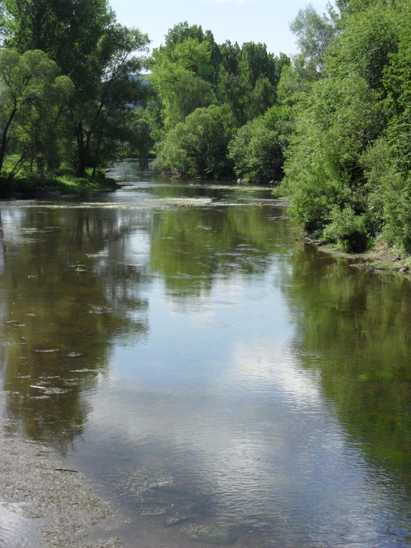
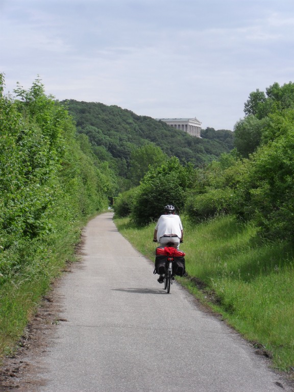
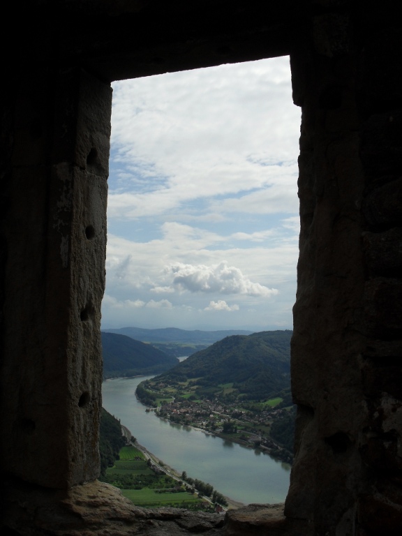
- good: varied scenery from Donaueschingen to Passau (Suzie)
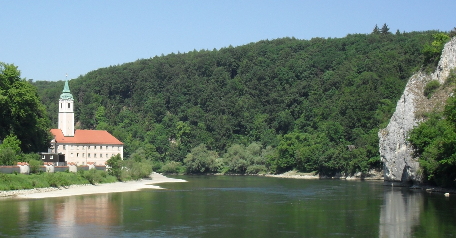
- good: boat ride from Klosten Weltenburg to Kelheim (Suzie)
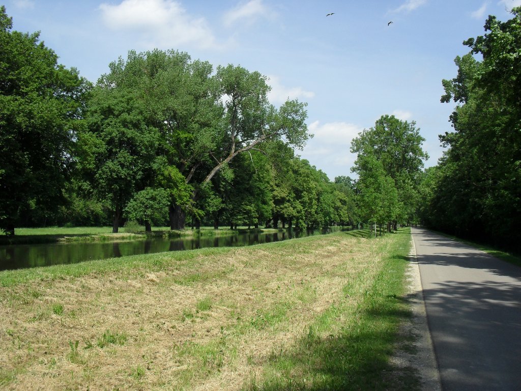
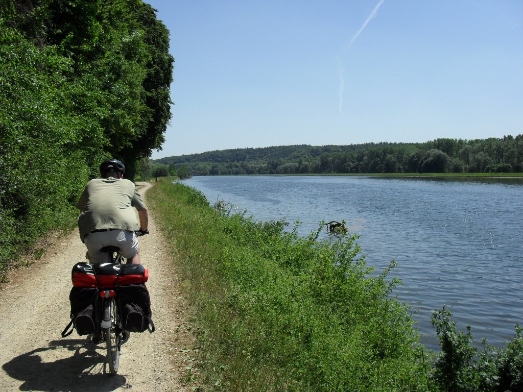
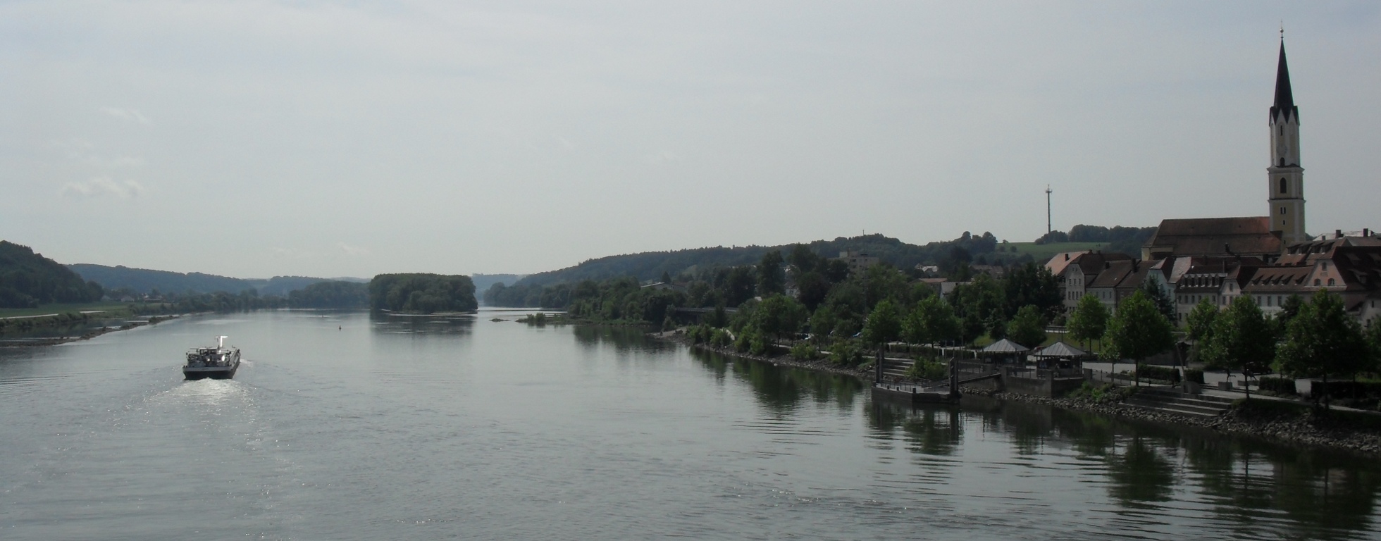
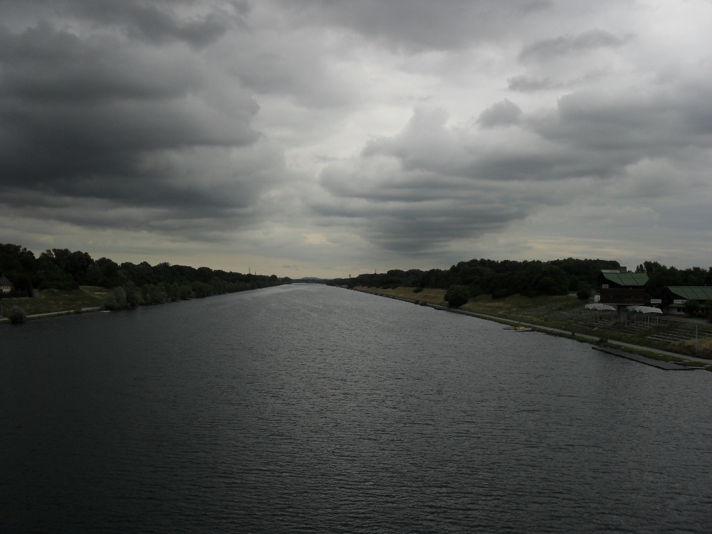
- bad: from Passau to Vienna the path is almost all flat asphalt directly next to the river; this got boring quite quickly, although it is fast! (Alexis)
Map
Clearly visible on the map is the extension I did to see friends in Devínska Nová Ves and my return to Vienna from where we returned home. This extension is excluded from the numbers above.
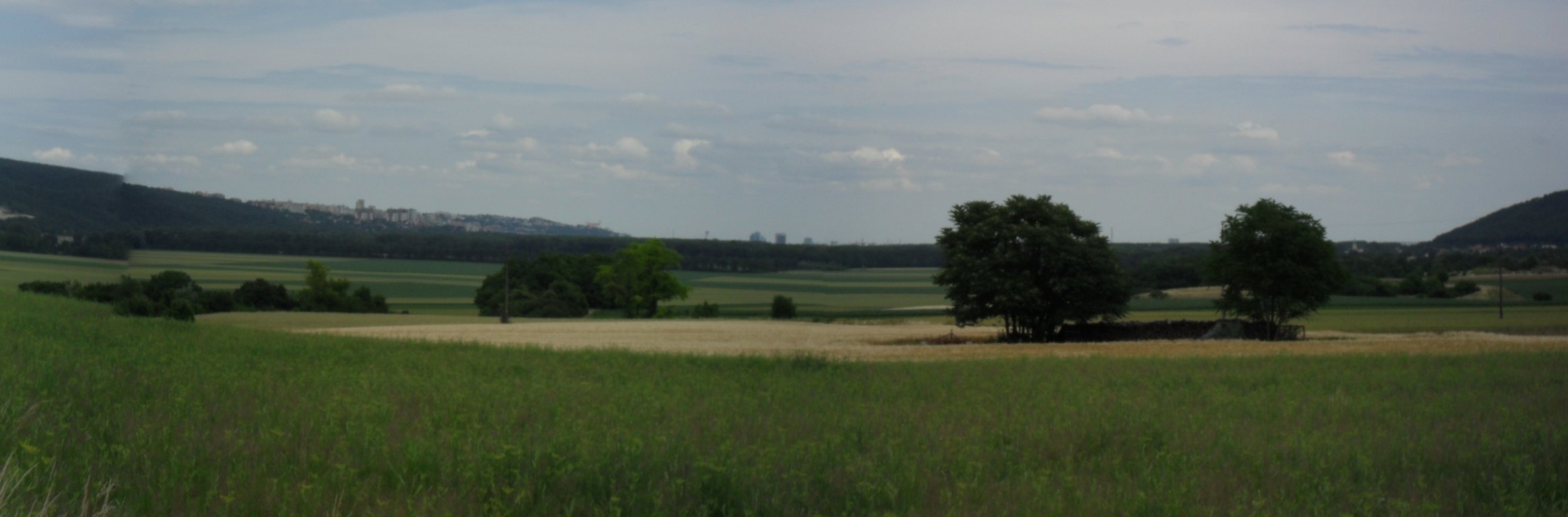
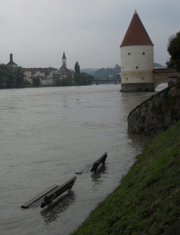
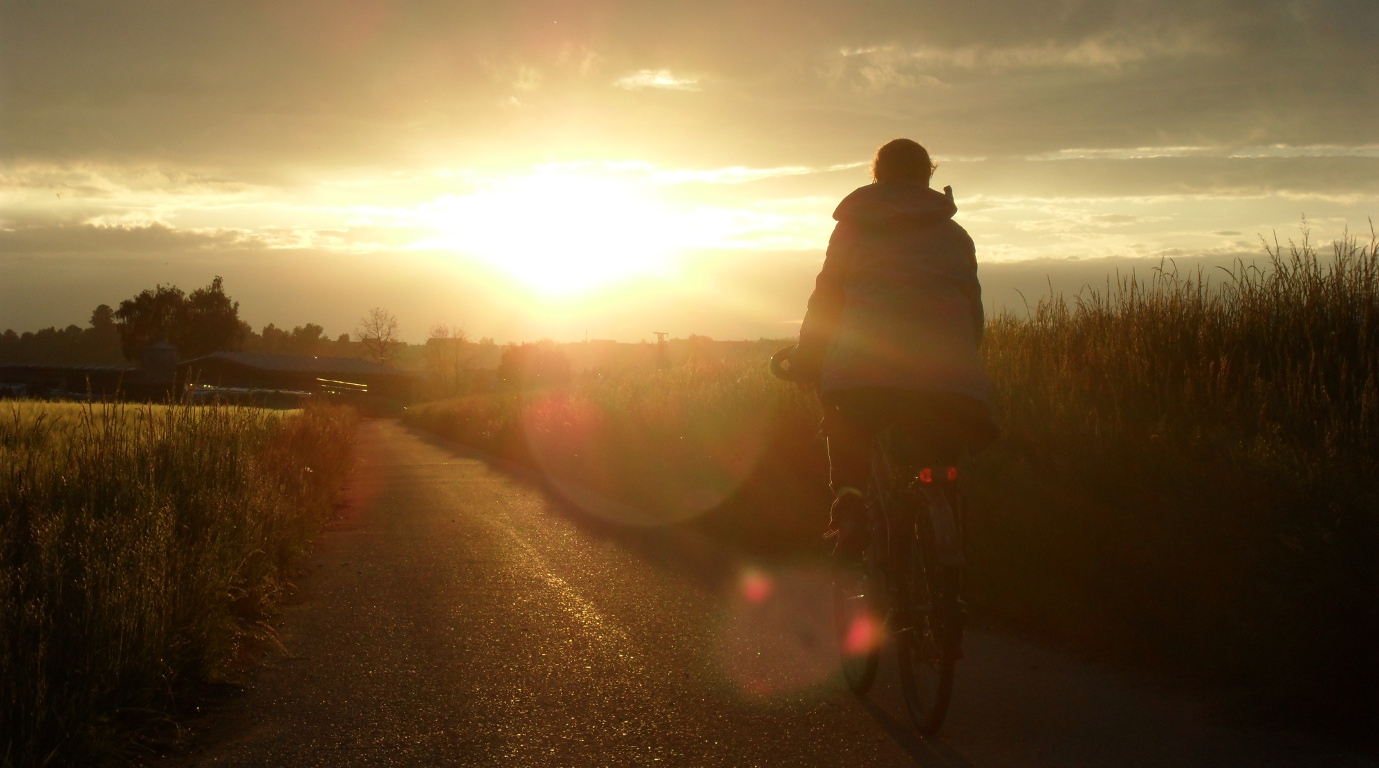
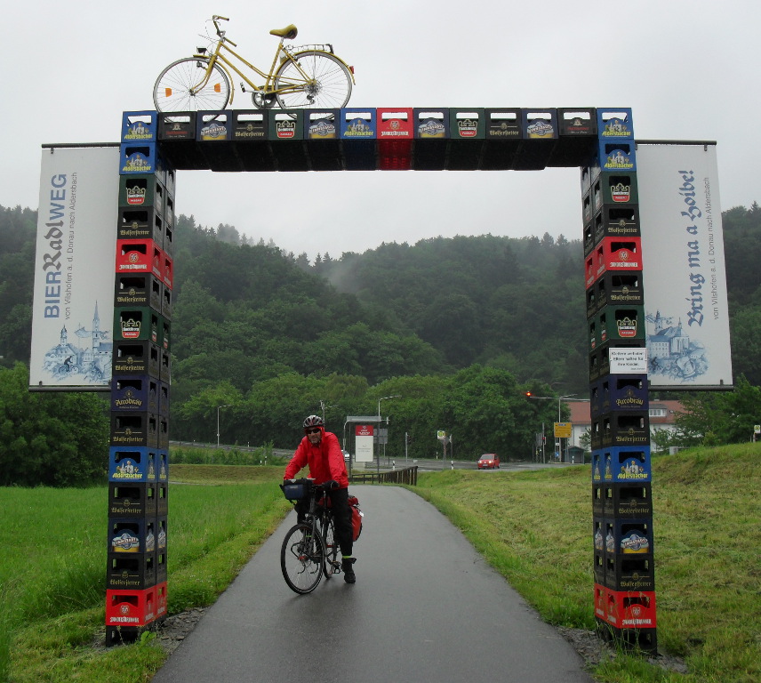
Photos
Downloads
- GPX data for the campsite waypoints: donau-waypoints-camps.gpx
- GPX data for the parts of the route that not in the guide book(s): donau-route-deviations.gpx
- GPX data for our track (what we actually cycled): donau-track-20110521TO20110621.gpx
- XLS file of the itinerary: donau-itinerary.xls