
Introduction
The Neckar Valley Cycle Route is a signposted cycle path from Villingen-Schwenningen, along the Neckar river to Mannheim. This page describes a 600Km route starting in Donaueschingen (which has better train connections than Villingen-Schwenningen), includes small sections of the Rhine and Main rivers, and finishes in Frankfurt.
Our plan was to cycle the distance in 8.5 days (average 71Km/day) without rest days. In reality, we cycled 584Km in 8.5 days (average 69Km/day).
The Good, the bad and the ugly
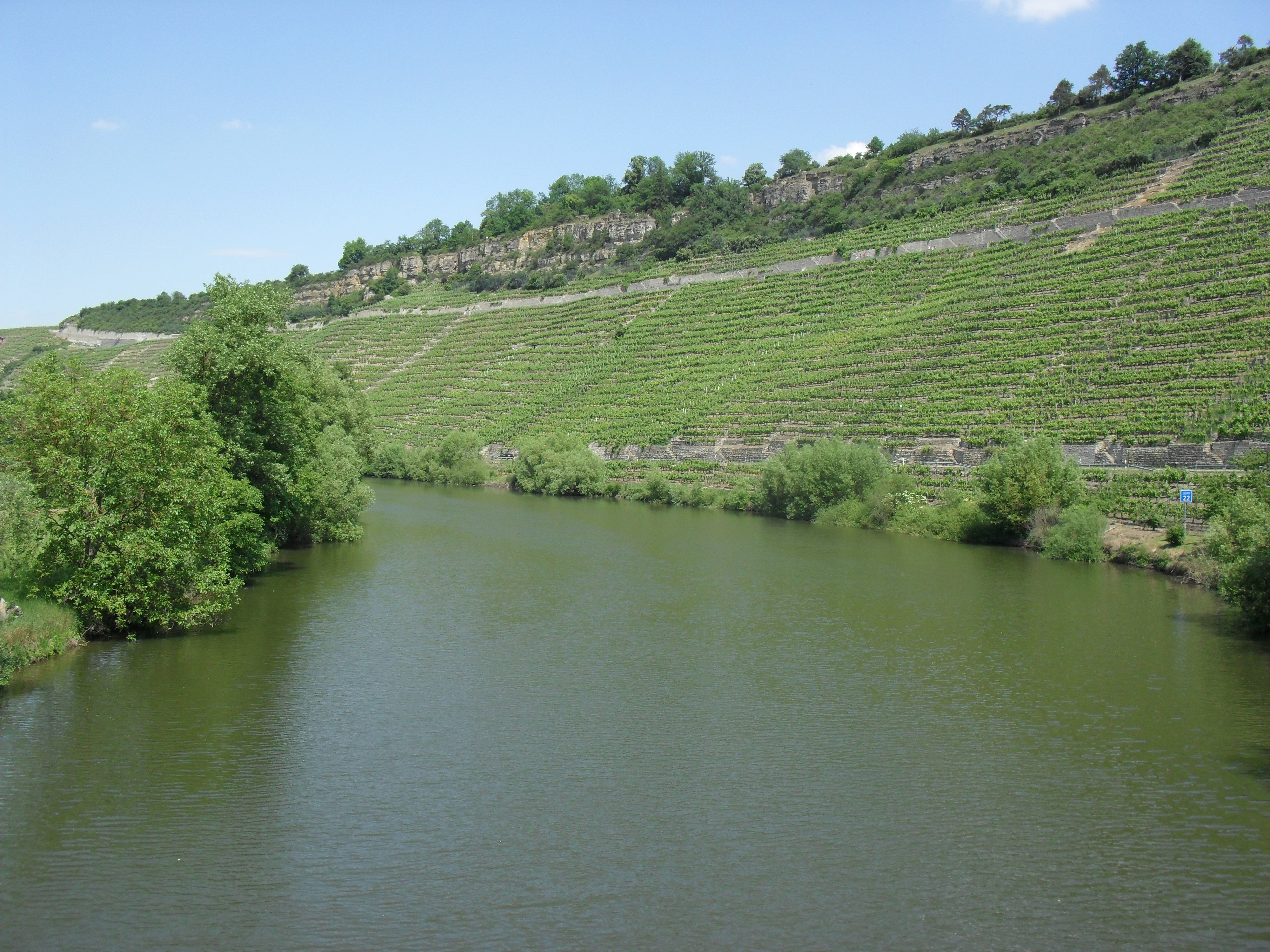
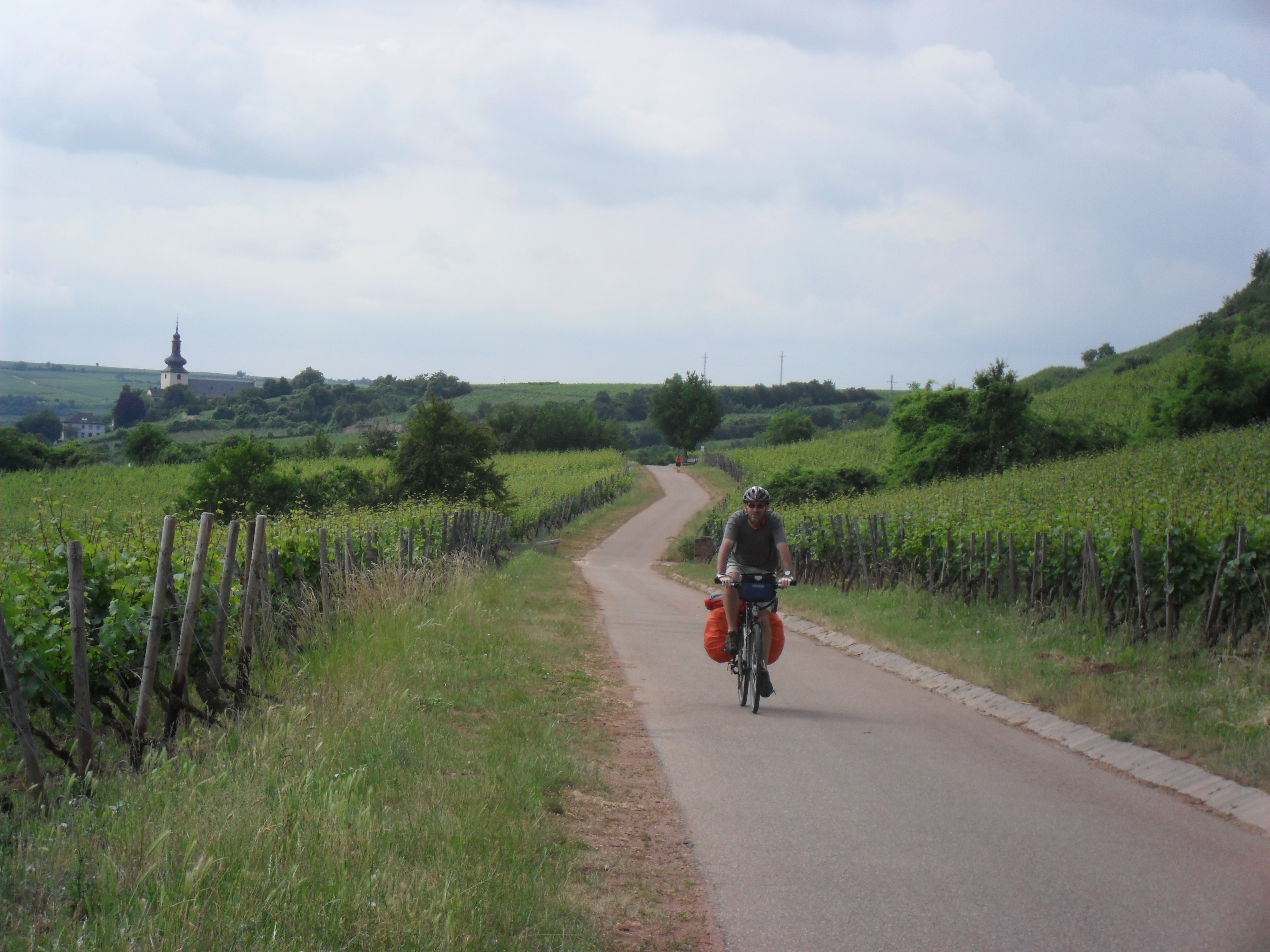
- good: scenic wine growing regions (Suzie)
- bad: for reasons we don’t really remember, we were not very impressed with this trip (Suzie)
Map
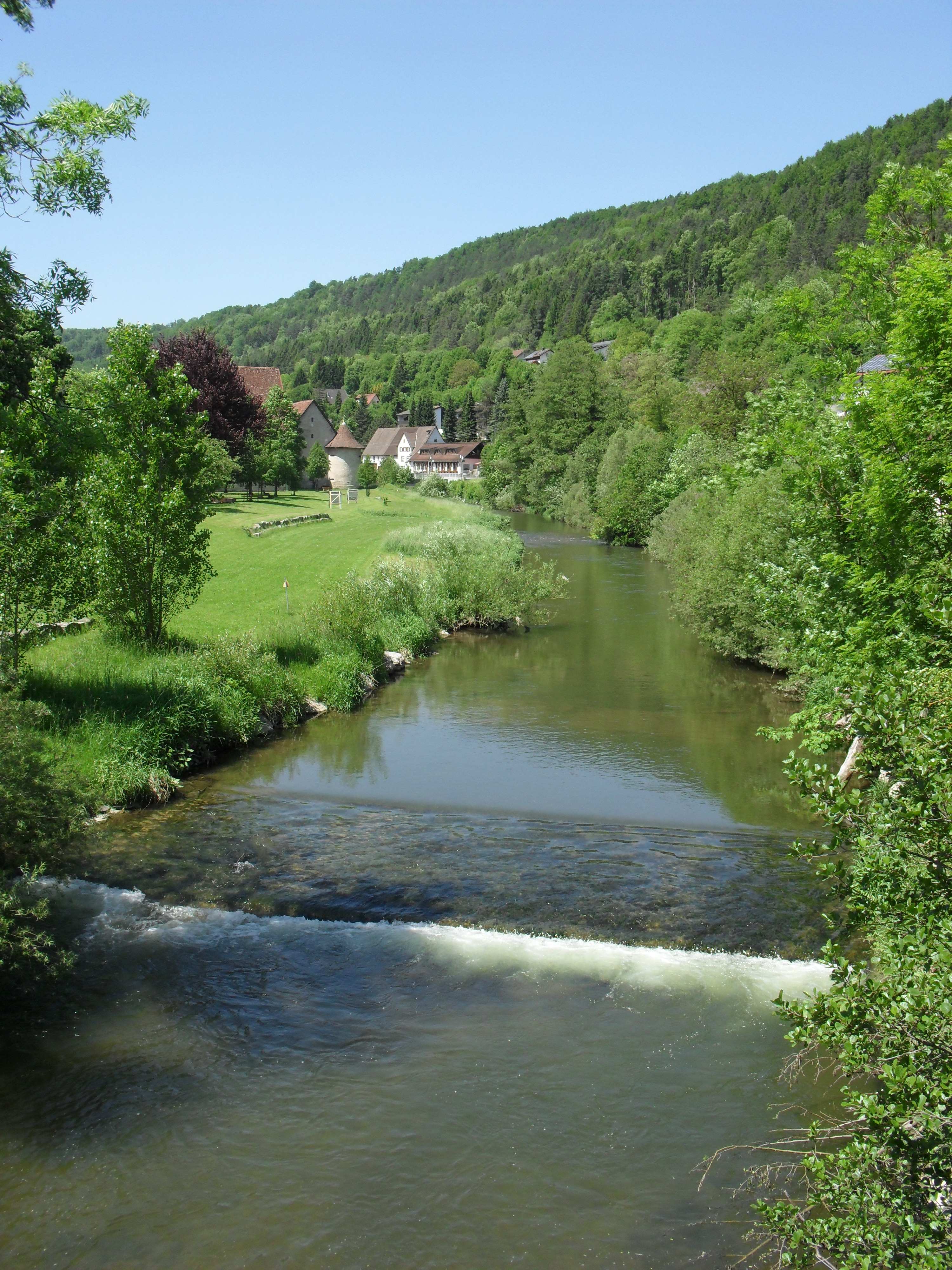
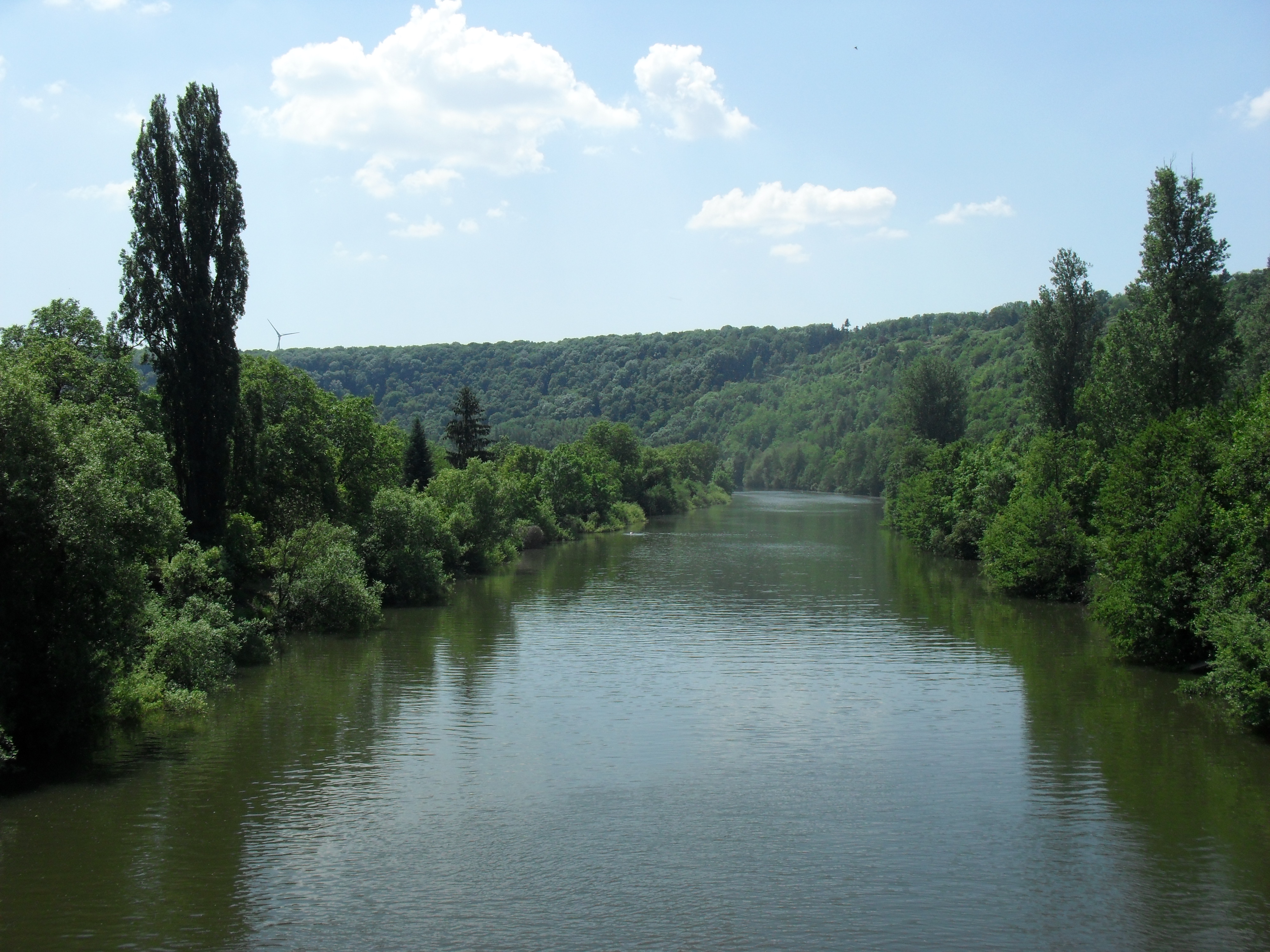
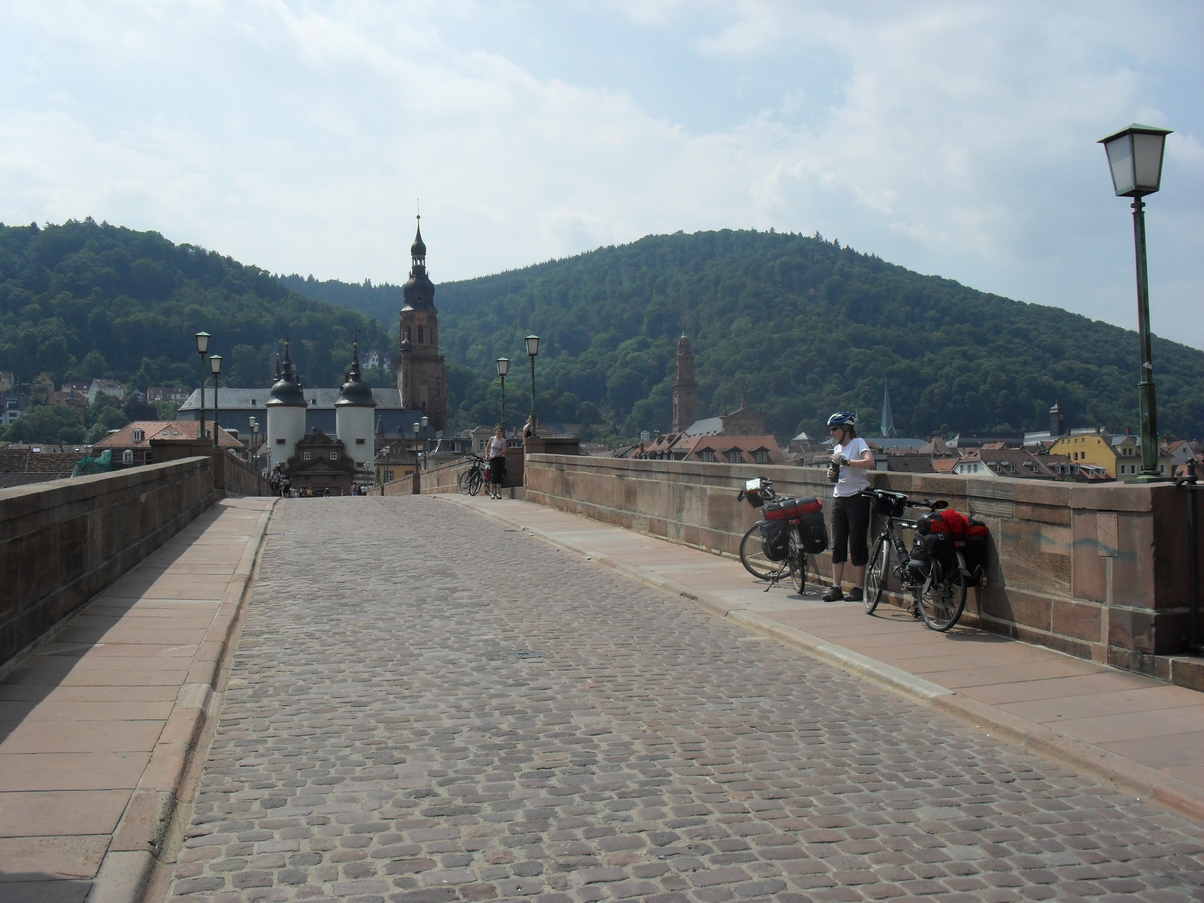
Photos
Downloads
- GPX data for the campsite waypoints: neckar-waypoints-camps.gpx
- GPX data for the parts of the route that not in the guide book(s): neckar-route-deviations.gpx
- GPX data for our track (what we actually cycled): neckar-track-20120525TO20120602.gpx
- XLS file of the itinerary: neckar-itinerary.xls