
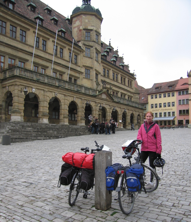
Introduction
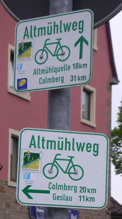
The Altmühltal cycling path, or Altmühlweg, begins at Rothenburg ob der Tauber, south of Würzburg, and ends at Kelheim on the Danube, south-west of Regensburg. The Altmühlweg is one of the oldest and, according to the ADFC, one of the most popular cycle routes in Germany. (Based on Wikipedia.) Bikeline‘s estimate of the distance is 230Km.
Our plan was to cycle the distance in 5 days (average 46Km/day) without rest days. In reality, we cycled 254Km in 5 days (average 51Km/day).
The Good, the bad and the ugly
- good: suitable for beginners (Suzie)
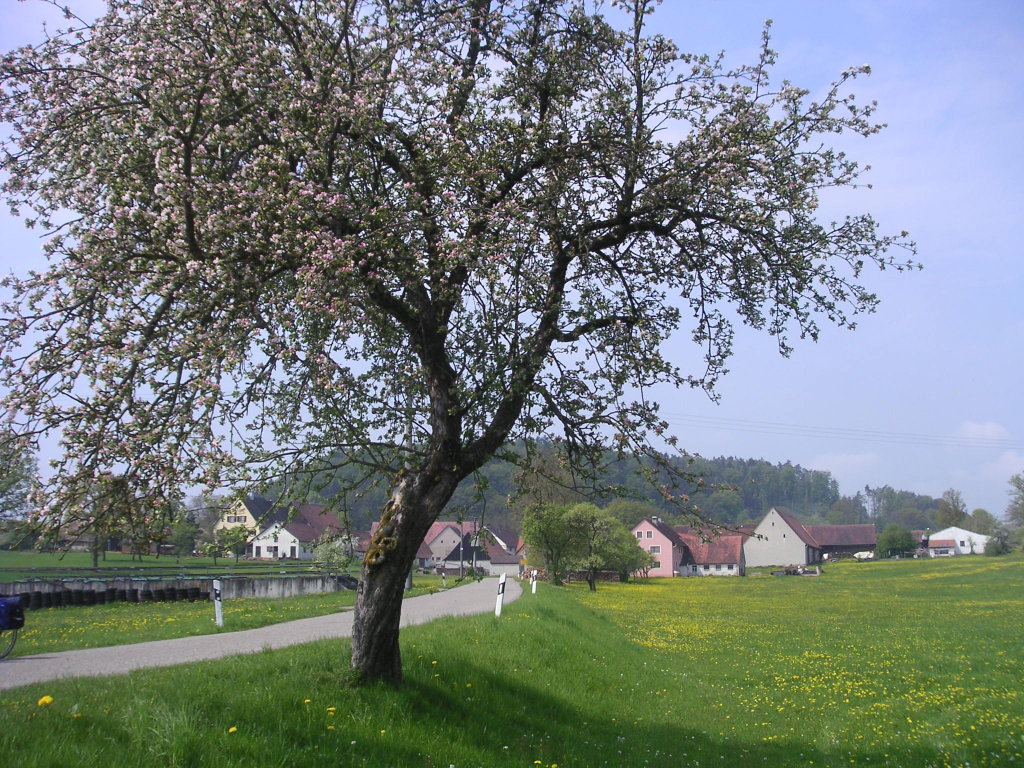
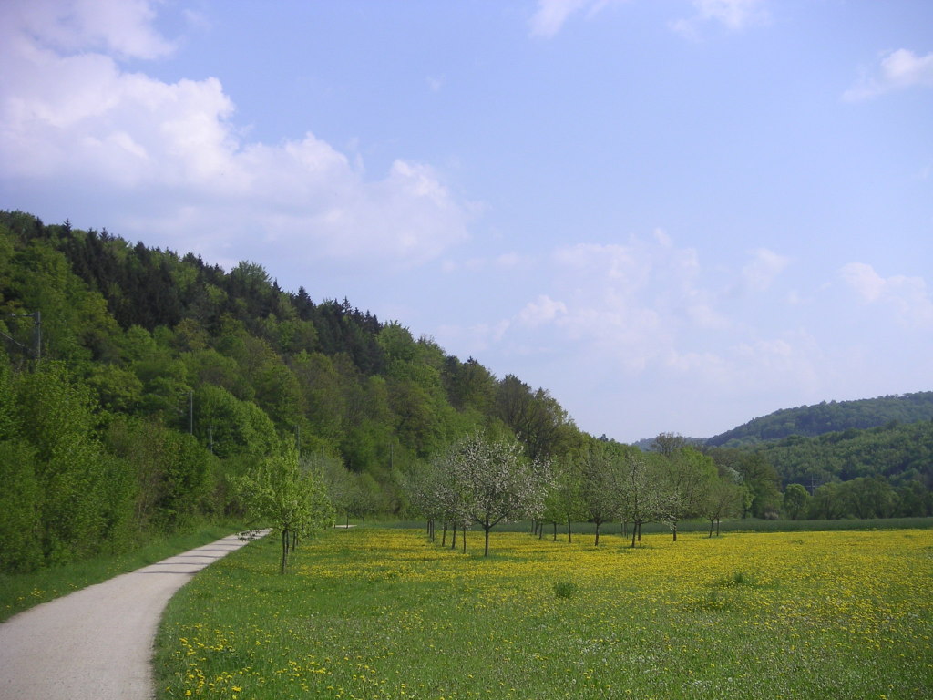
- good: lots of places to places to stop for a break (Suzie)
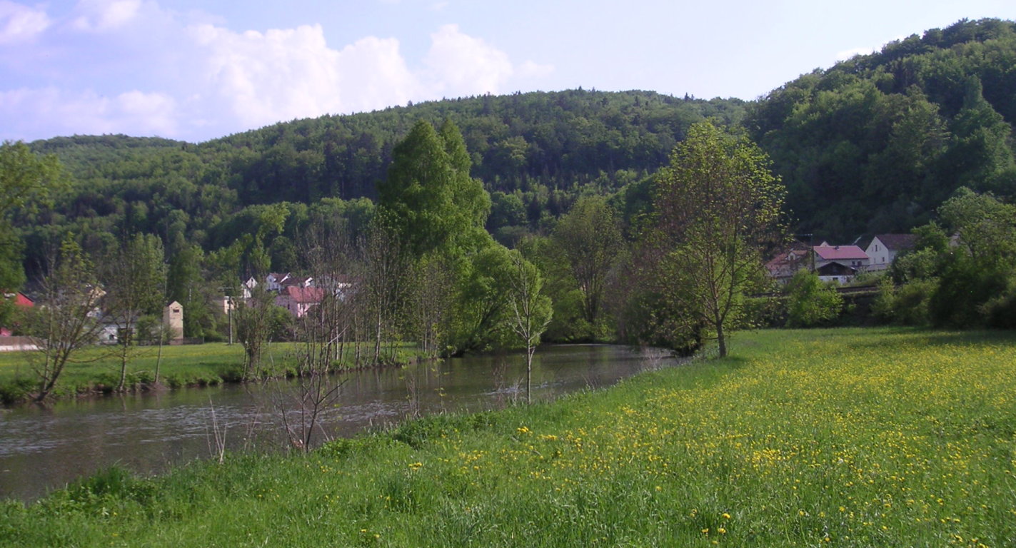
- lots of pretty towns (Suzie)
- bad: next time skip the ausflug to Weissenburg (that’s the big dent in the middle of the map below) as it is not so interesting (Suzie)
Map
Clearly visible on the map are our diversions to the Campingplatz Frankenhöhe in Schillingsfurst, to Weissenburg and to Kloster Plankstetten.
Photos

Downloads
- GPX data for the campsite waypoints: altmuehltal-waypoints-camps.gpx
- GPX data for the parts of the route that not in the guide book(s): altmuehltal-route-deviations.gpx
- GPX data for our track (what we actually cycled): altmuehltal-track-20090430TO20090504.gpx
- XLS file of the itinerary: altmuehltal-itinerary.xls