
Introduction
The Mecklenburgischer Seen-Radweg runs from Lüneburg south-east from Hamburg, to Wolgast on Germany‘s Baltic coast west of the Polish border. The inland section has a multitude of lakes, the largest of which is Lake Müritz. (Quoted from Wikipedia.). This page describes a 1025Km route starting in Hamburg, looping around Rügen island and finishing back on the German mainland at Stralsund. Ten years later we did another version of this tour.
Our plan was to cycle the distance in 17 days (average 60Km/day) and to rest for 4 days at places to be decided on the spur of the moment. In reality, we cycled 1230Km in 16 days (average 76Km/day) and rested 4 days in Tollensesee (close to Neubrandenburg), North Rügen (2 days), and Southeast Rügen.
The Good, the bad and the ugly
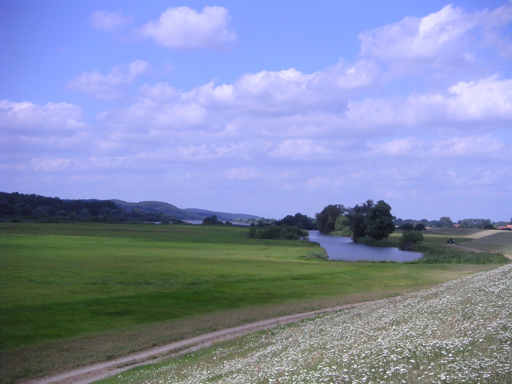
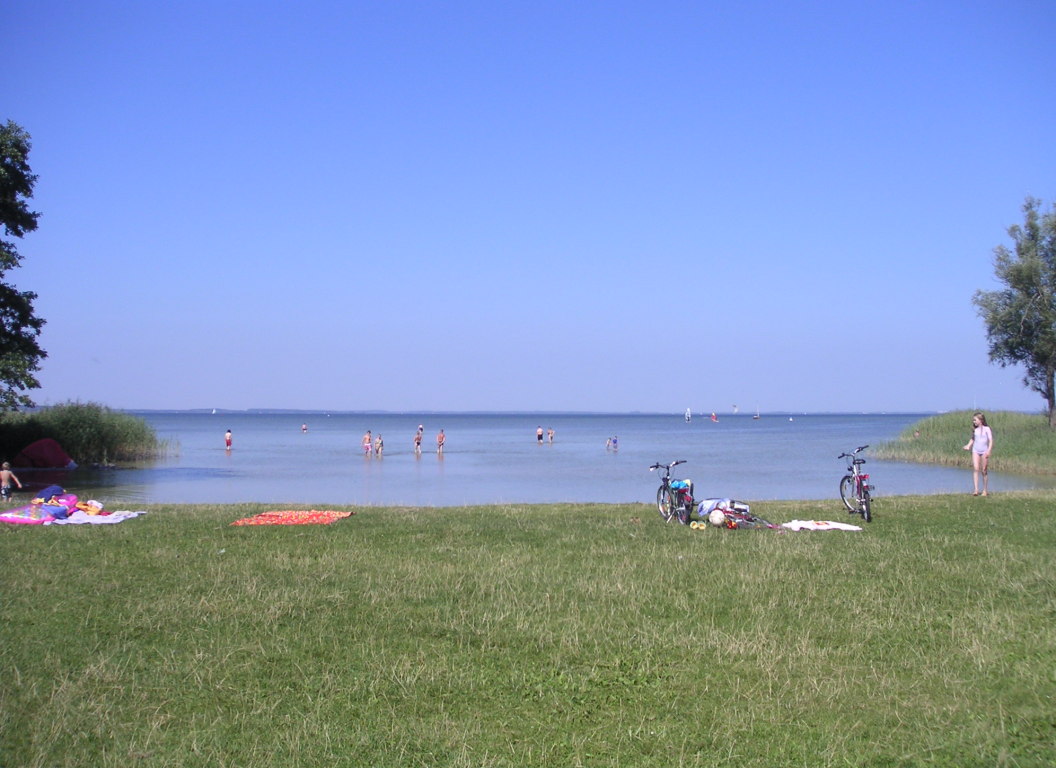
- good: lots of lakes and swimming (Suzie)
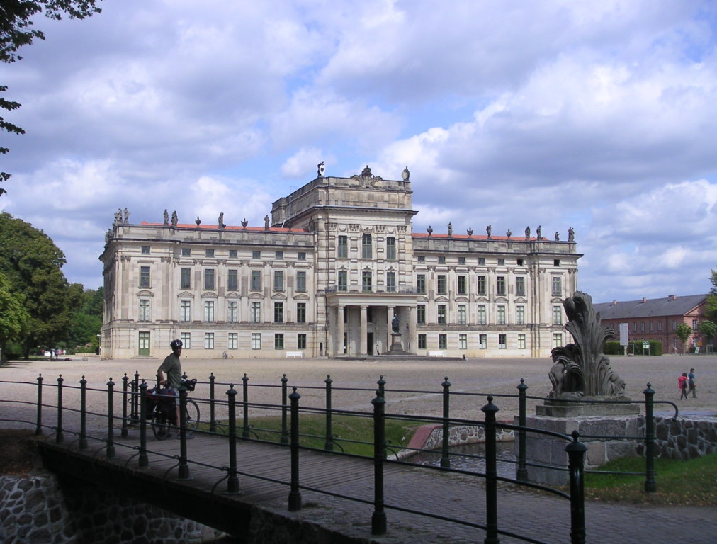
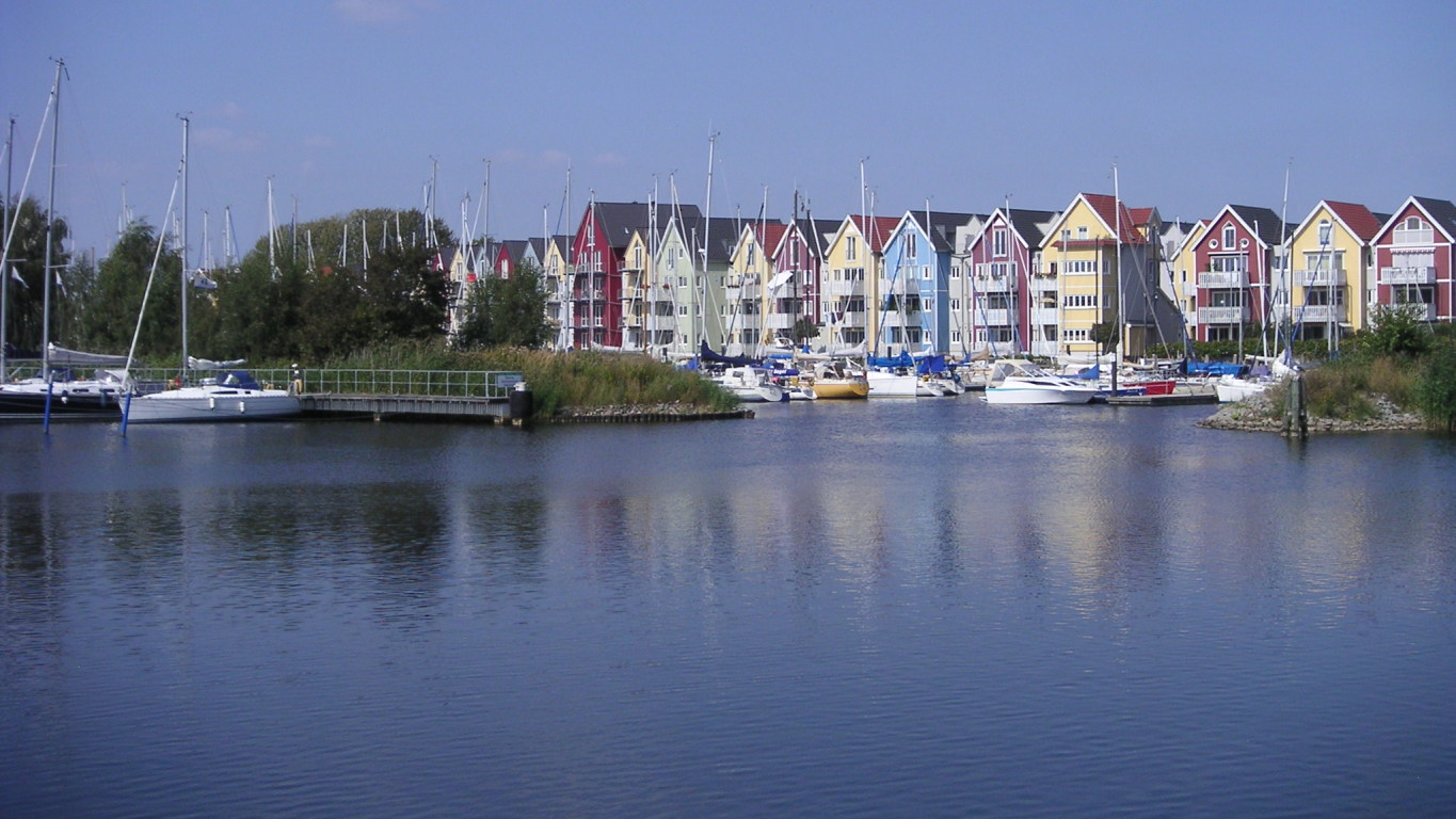
- good: some pretty towns like Ludwigslust, Neubrandenburg (Suzie)
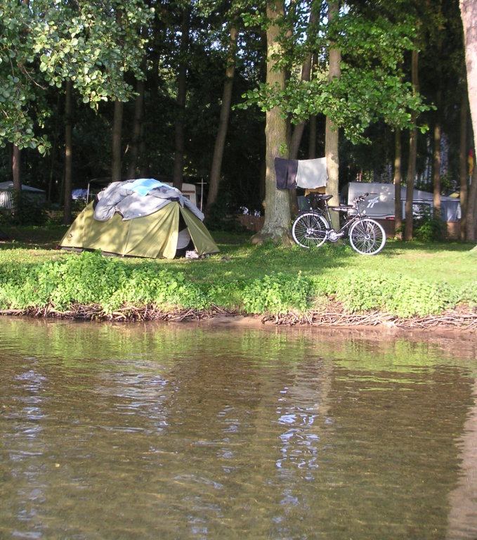
- good: generally good campsites (Suzie)
- bad: some bad cycle paths with cobbles and headwind (Suzie)
- ugly: some campsites around Usedom extremely crowded (Suzie)
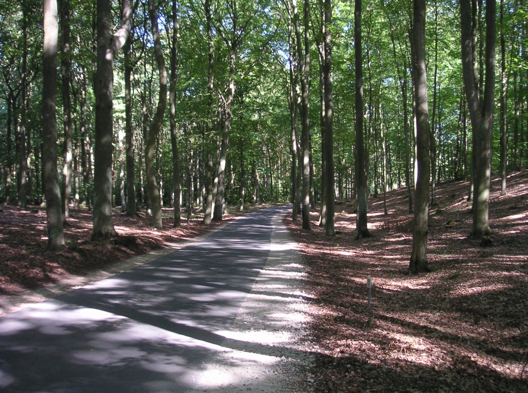
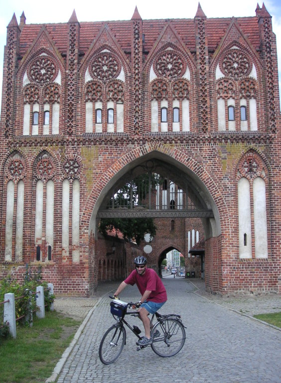
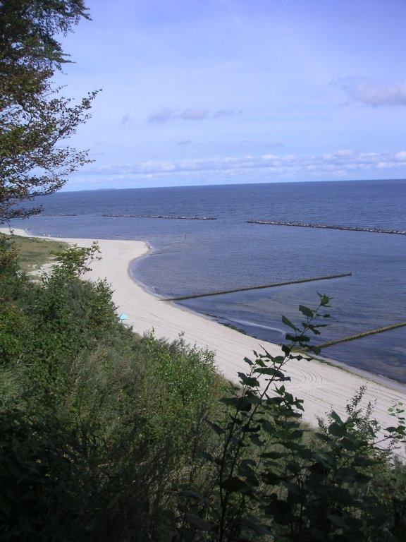
Map
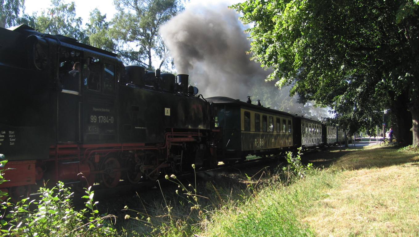
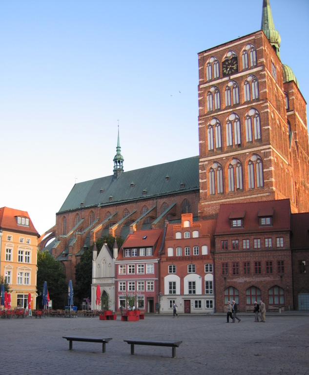
Photos
Downloads
- GPX data for the campsite waypoints: mecklenburgischerseen-waypoints-camps.gpx
- GPX data for the parts of the route that not in the guide book(s): mecklenburgischerseen-route-deviations.gpx
- GPX data for our track (what we actually cycled): mecklenburgischerseen-track-20090815TO20090904.gpx
- XLS file of the itinerary: mecklenburgischerseen-itinerary.xls