
Introduction
The Saale Cycle Path runs from the source of the Saale river at Großer Waldstein to the mouth of the Elbe at Barby. It is considered one of the most demanding river cycling routes in Germany. In its upper reaches it is characterized by many climbs. (Partially quoted from Wikipedia.) This page describes a 431Km version starting in Magdeburg, which has good train connections.
Our plan was to cycle the distance in 8.5 days (average 51Km/day) without rest days. In reality, we cycled 440Km in 8.5 days (average 52Km/day).
The Good, the bad and the ugly
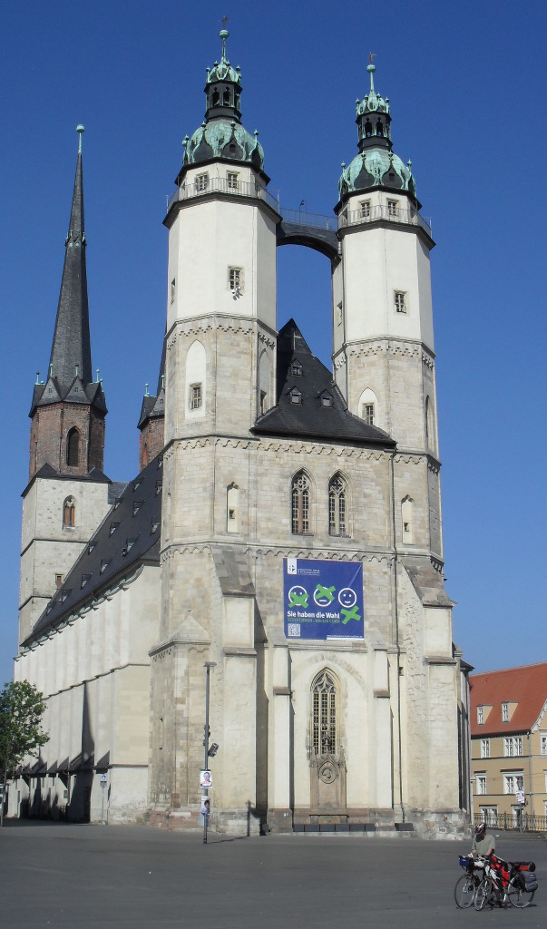
- good: Halle and Jena were interesting towns (Suzie)
Map
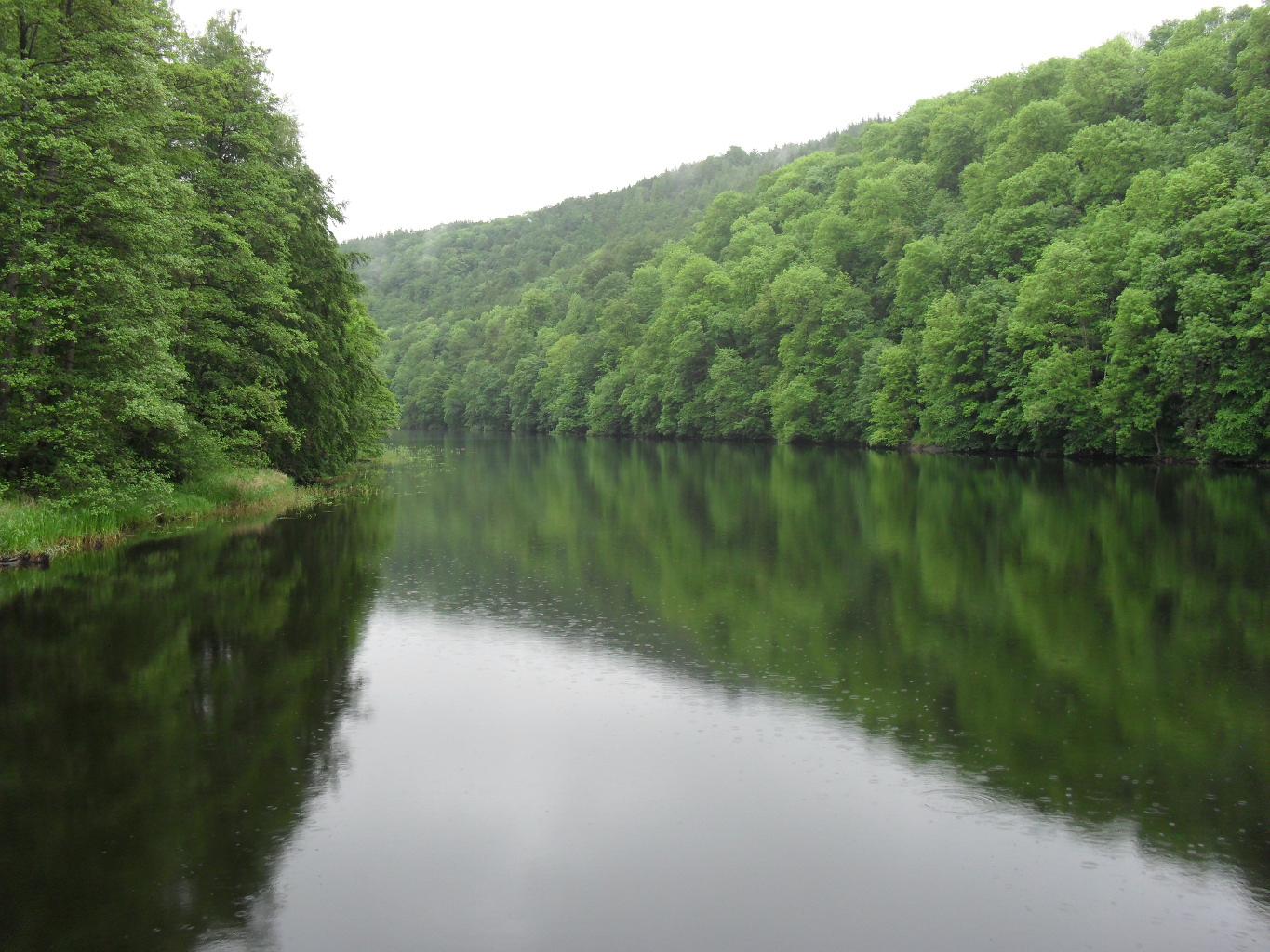
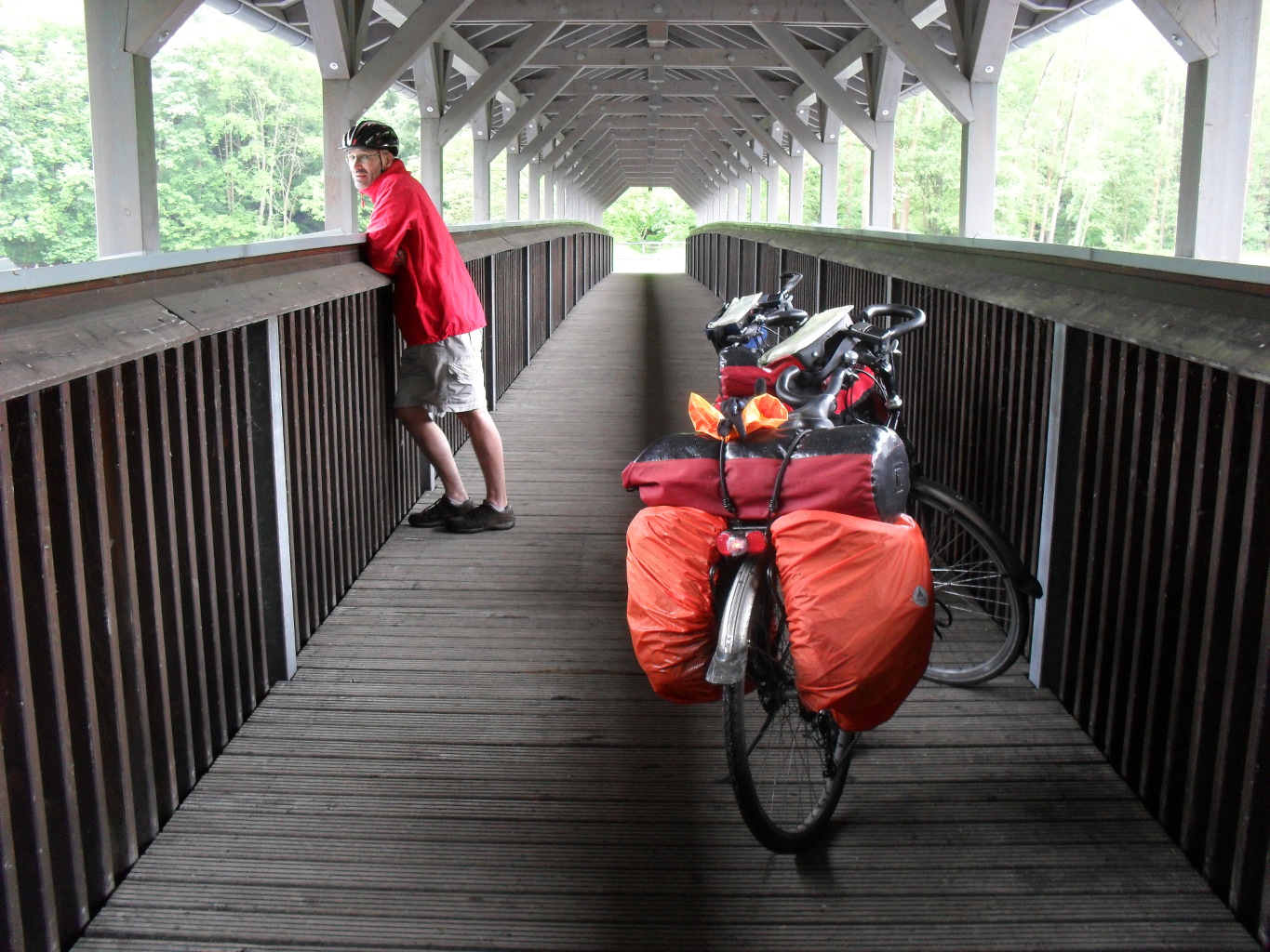
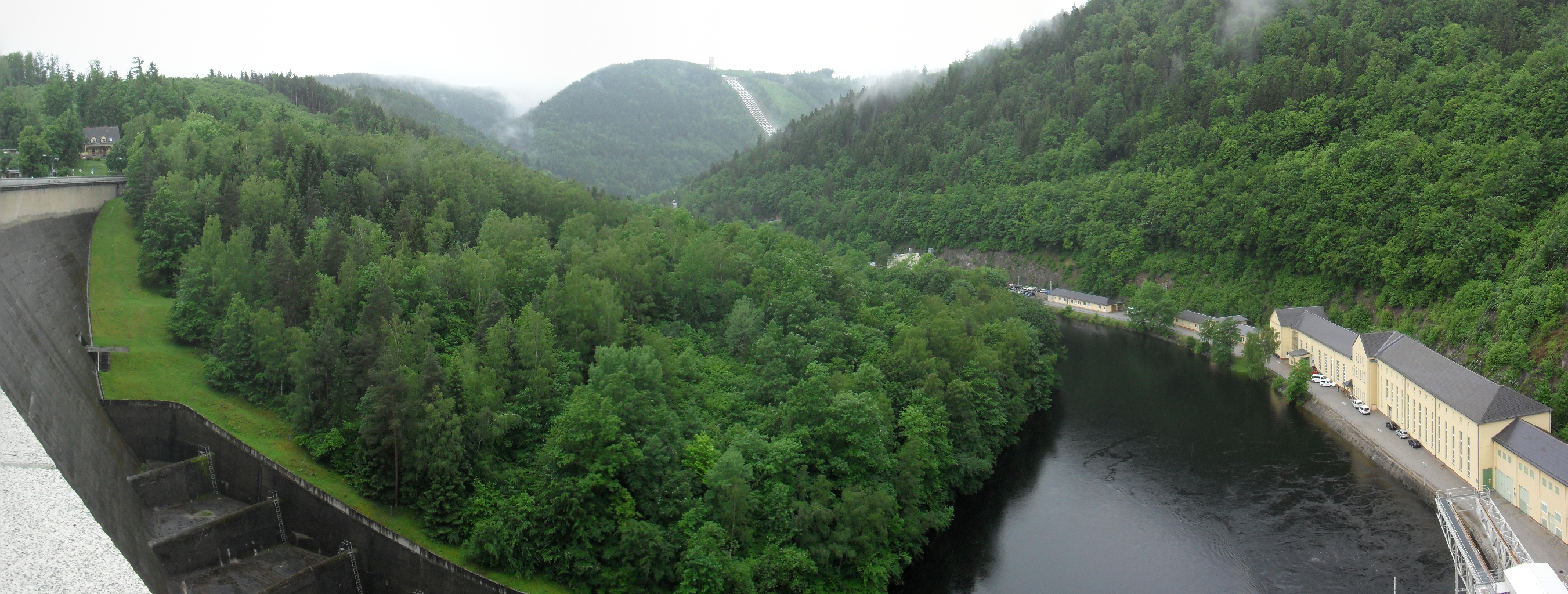
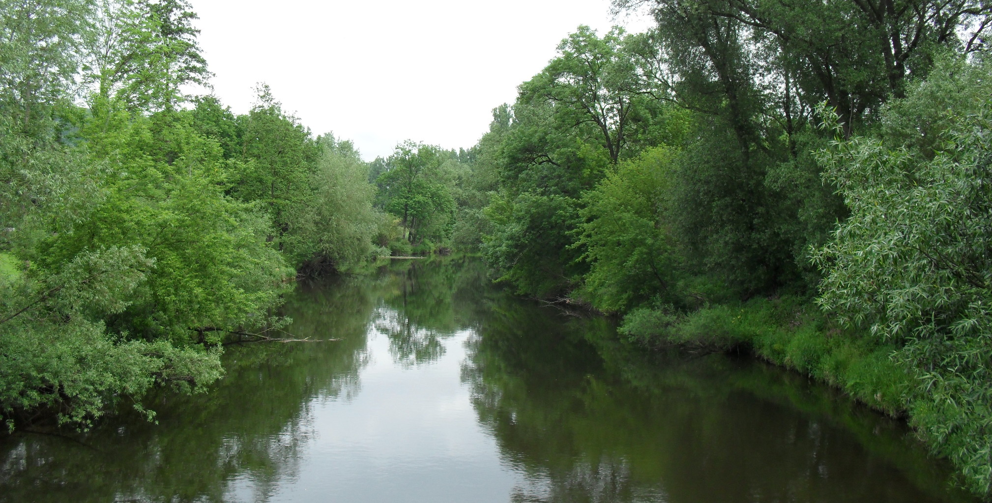
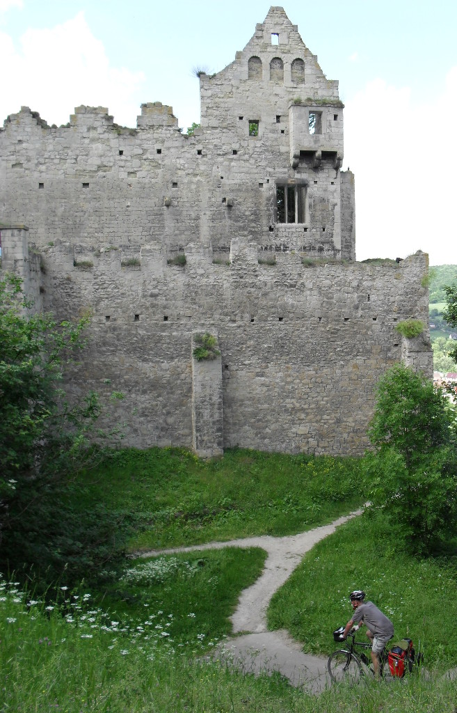
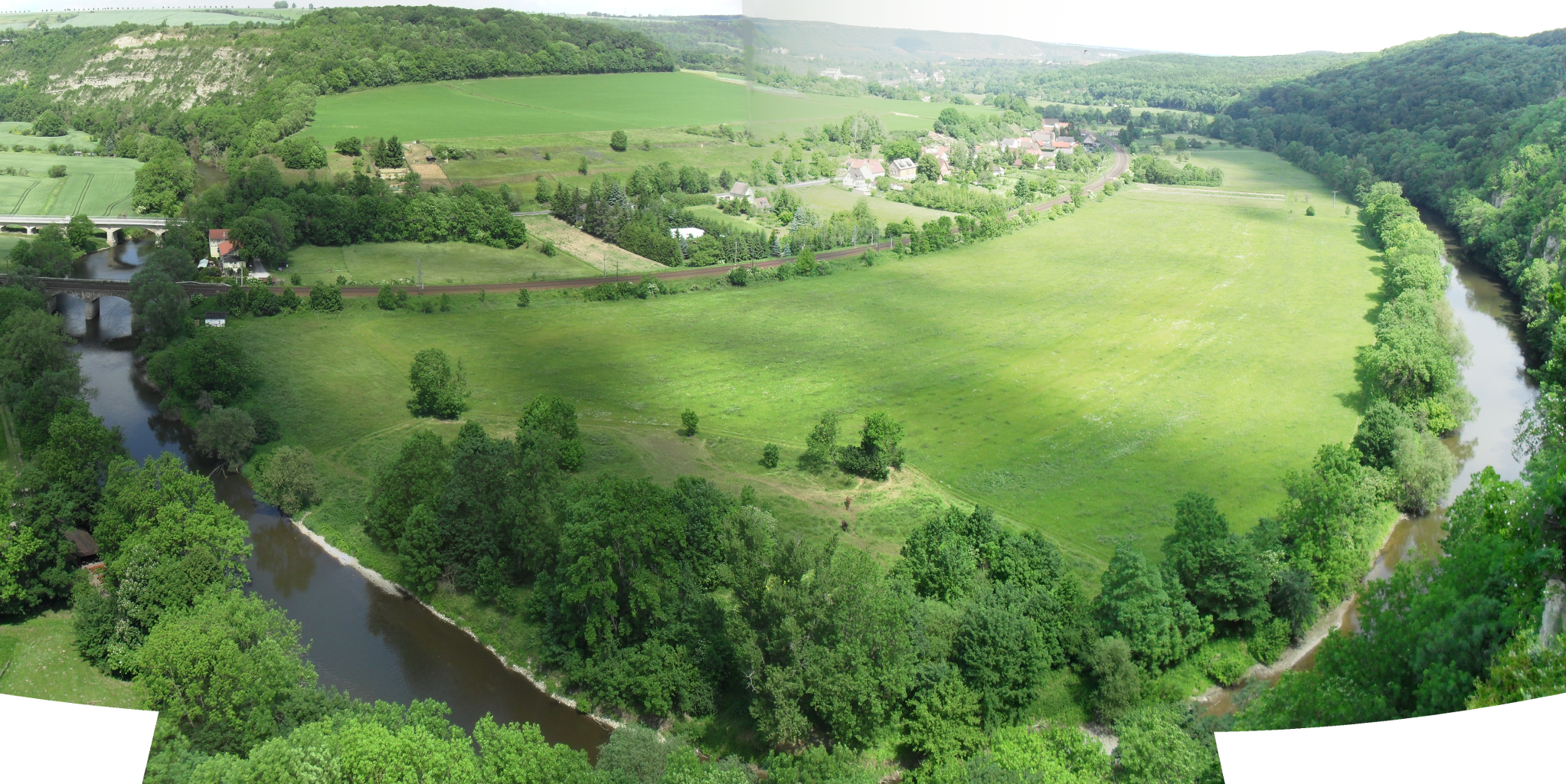
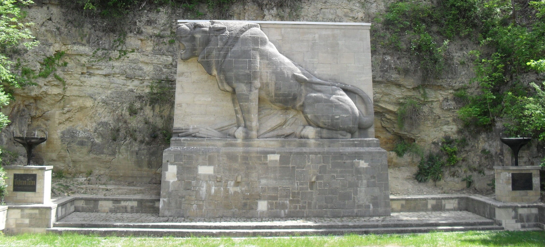
Photos
Downloads
- GPX data for the campsite waypoints: saale-waypoints-camps.gpx
- GPX data for the parts of the route that not in the guide book(s): saale-route-deviations.gpx
- GPX data for our track (what we actually cycled): saale-track-20140523TO20140530.gpx
- XLS file of the itinerary: saale-itinerary.xls