
Date
22/06/2003
Journey there
| Dep. Ismaning | 06:38 | (Meet on the platform) |
| Arr. Hauptbahnhof | 07:05 | (Meet under departure board, platforms 25-26) |
| Dep. Hauptbahnhof | 07:30 | |
| Arr. Lenggries | 08:41 |
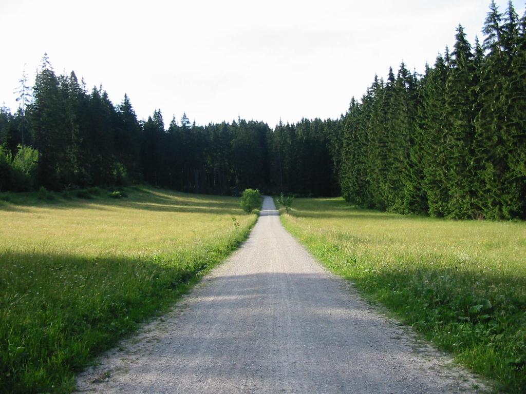
Hike start point
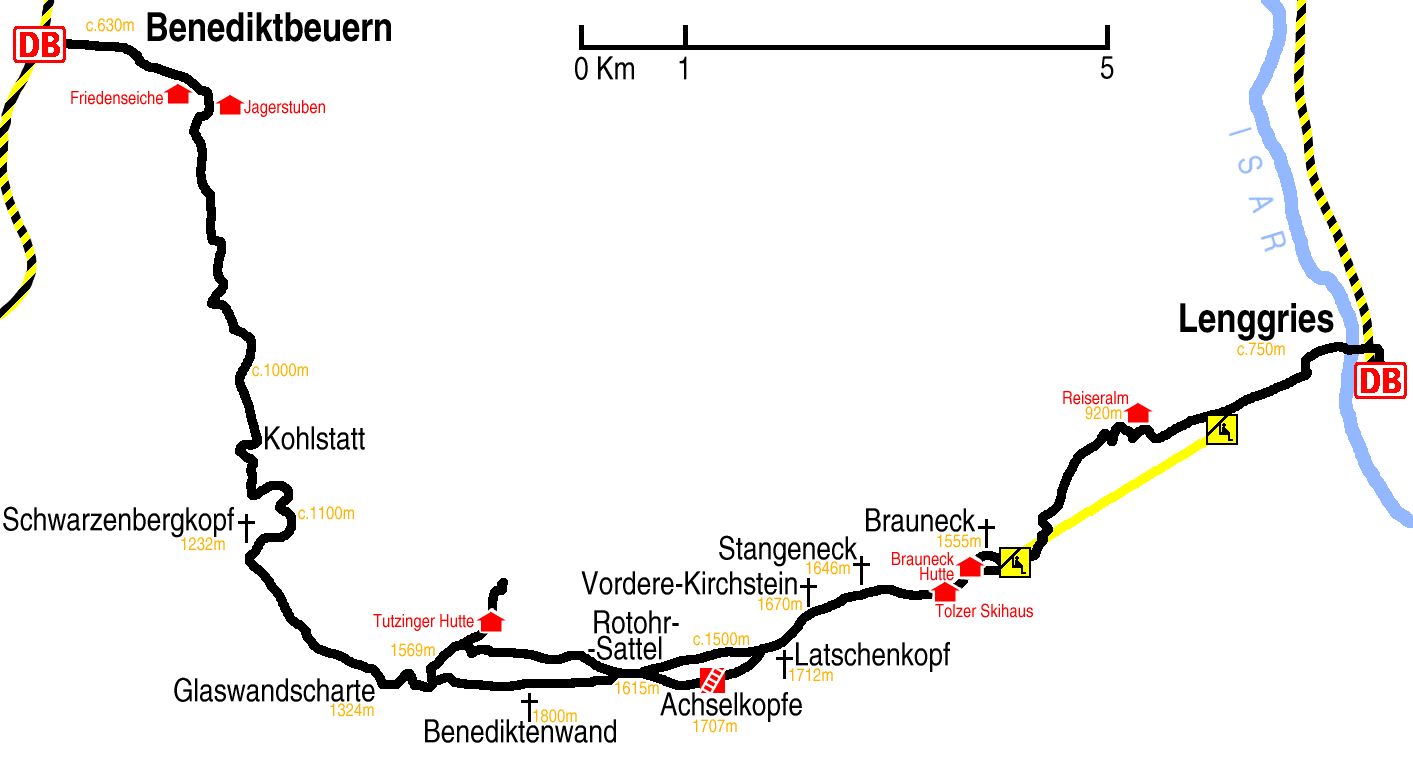
Hike map
Hike map in other formats
![]()
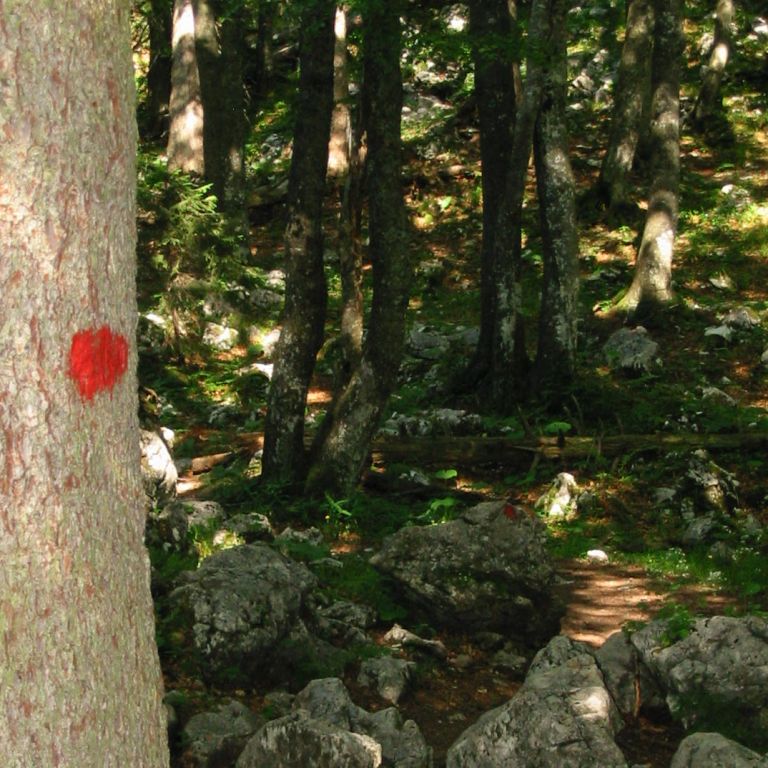
Hike description
- From Lenggries Bahnhof (754m), head back 300m north along the right side of the railway and cross left – west – over the line and then over the river.
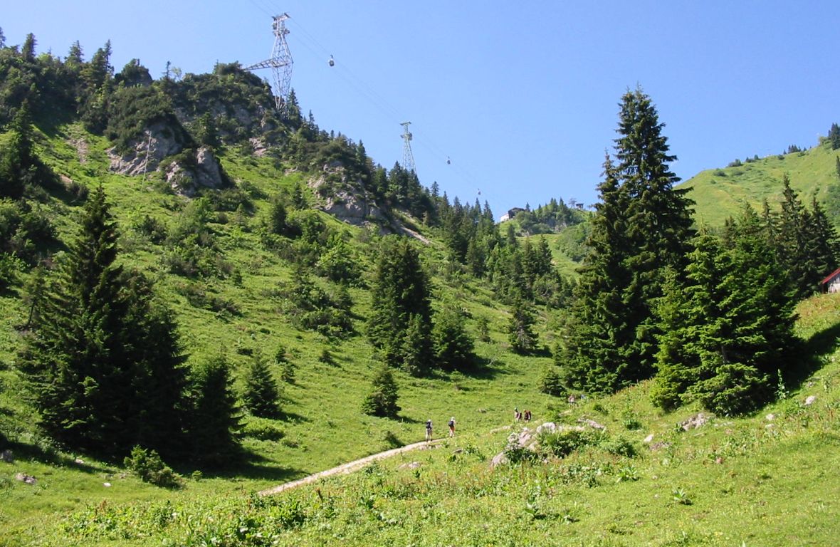
- Continue south-west for 3Km through Luitpolderhöfer and Gilgenhöer, towards Reiseralm, but before reaching it turn left – south – towards the lift.
- Take the lift, or …
- … follow path E4 west and then south-west for 6Km to the top of the lift.
- Then it is either 1 Km direct or 2Km over Brauneck (1555m) to Brauneck Hütte (1548m).
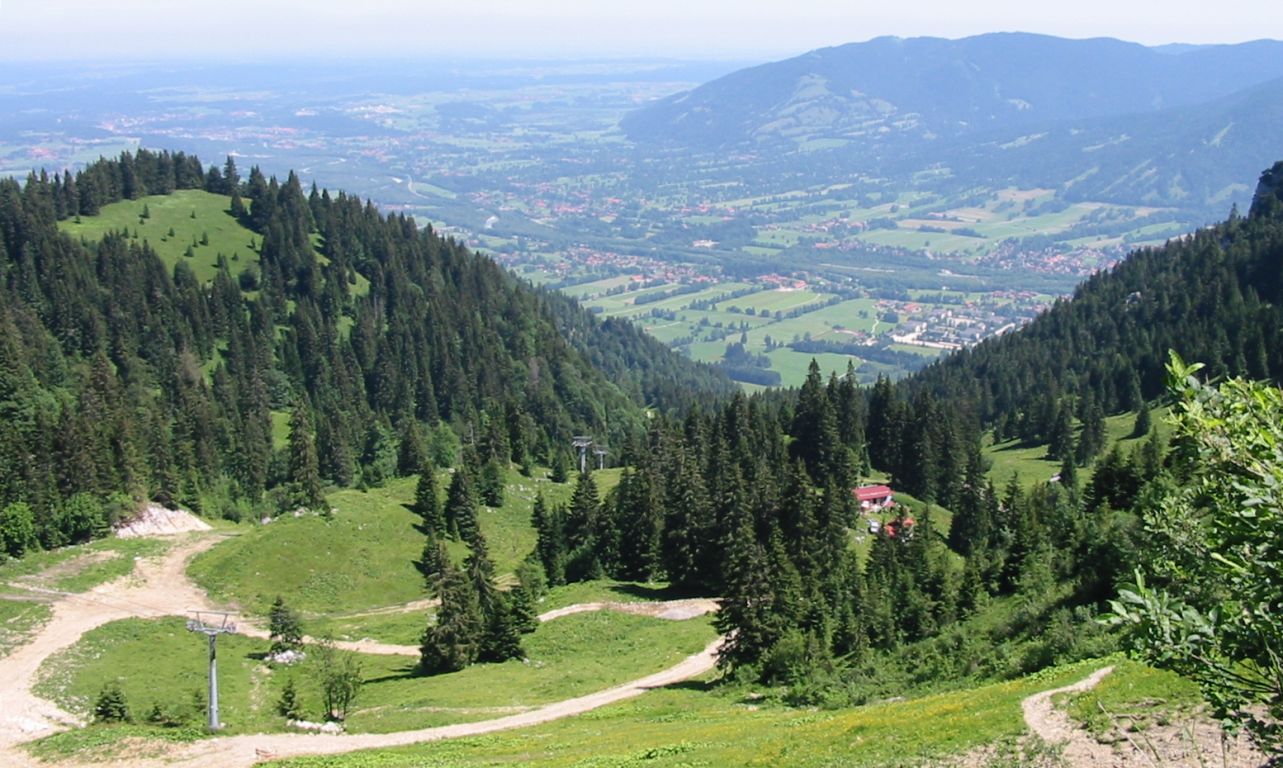
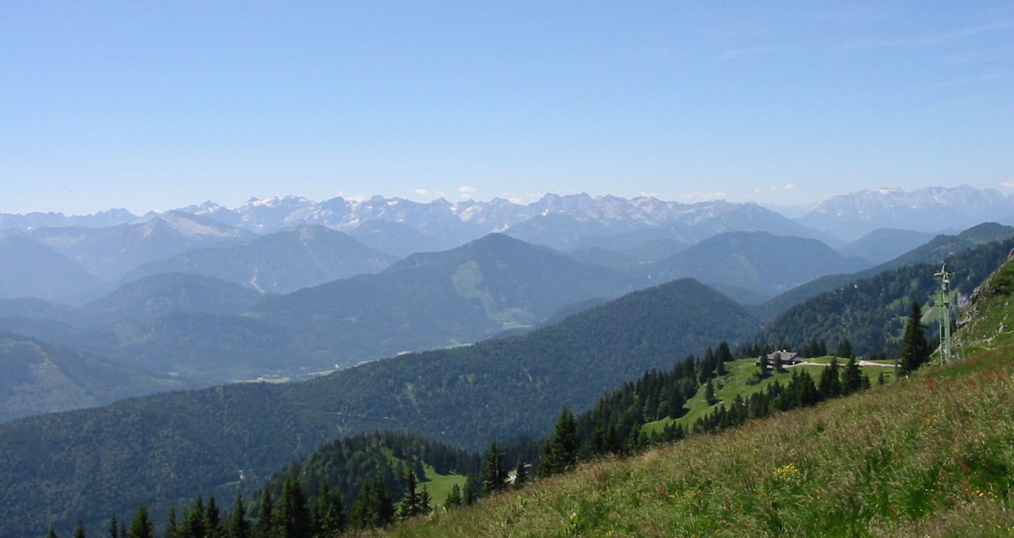
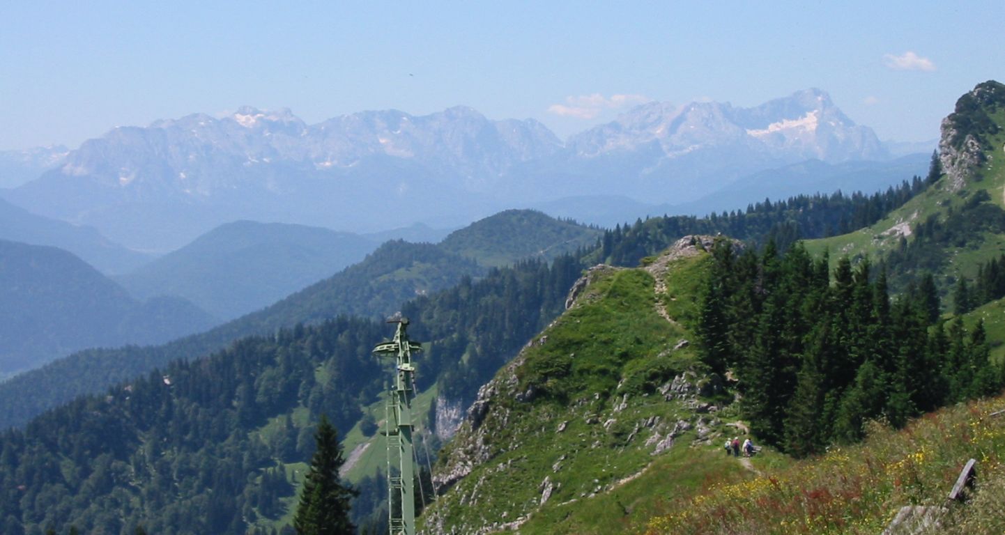
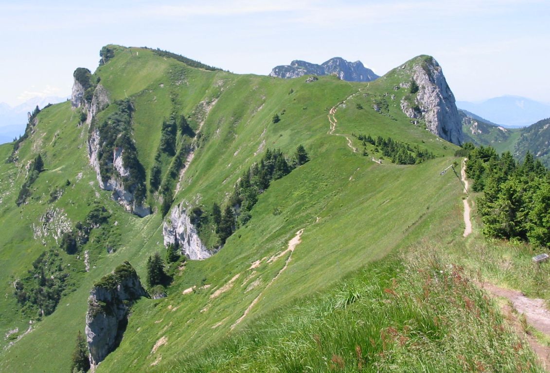
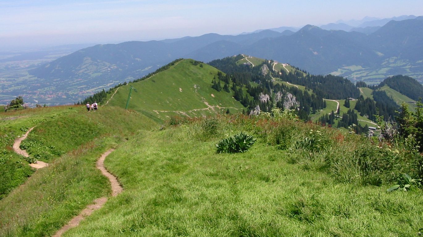
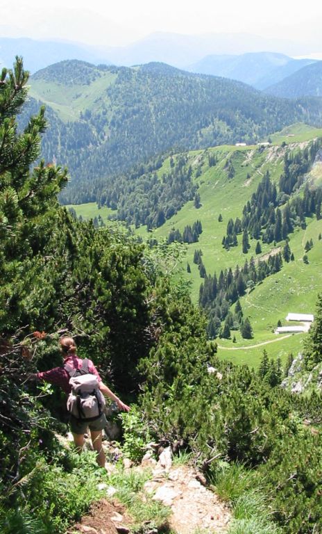
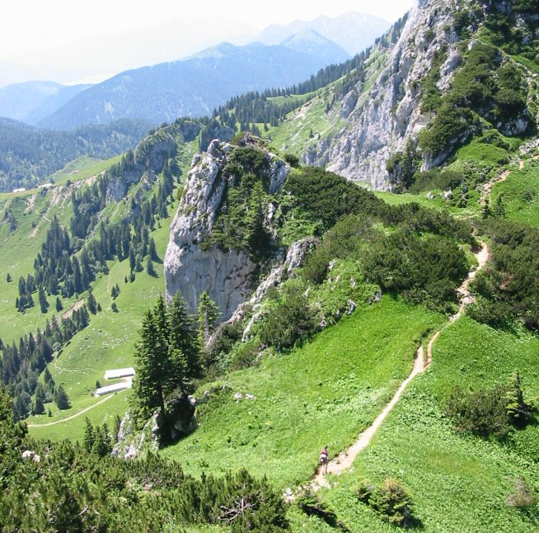
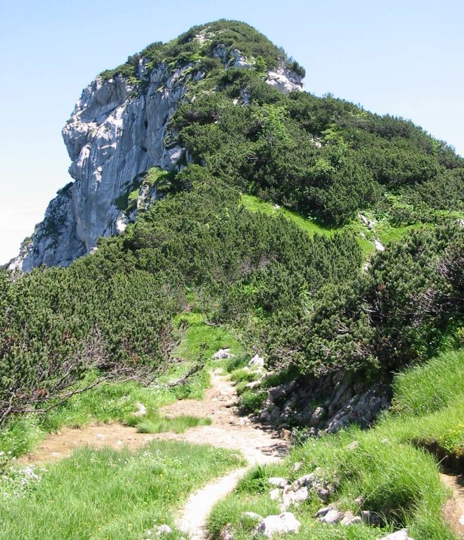
- Head west on the ridge for 7Km via Stangeneck (1646m), Vordere Kirschstein (1670m), Latschenkopf (1712m), Rotohr Sattel (1615m), Benediktenwand (1800m), Glaswandscharte (1324m).
- Then turn north west and descend for 3Km to just before – and then anticlockwise around – Schwarzenbergkopf (c.1150m).
- 1Km further along this path in a northerly direction, and the path joins with path 455 and descents over 6Km to the Jägerstuben and Friedenseiche hüttes (c.650m) on the outskirts of Benediktbeuern.
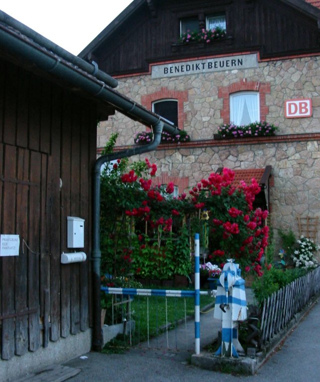
- Turn north-west again, and walk for 2Km through the centre to Benediktbeuern Bahnhof (c.630m).
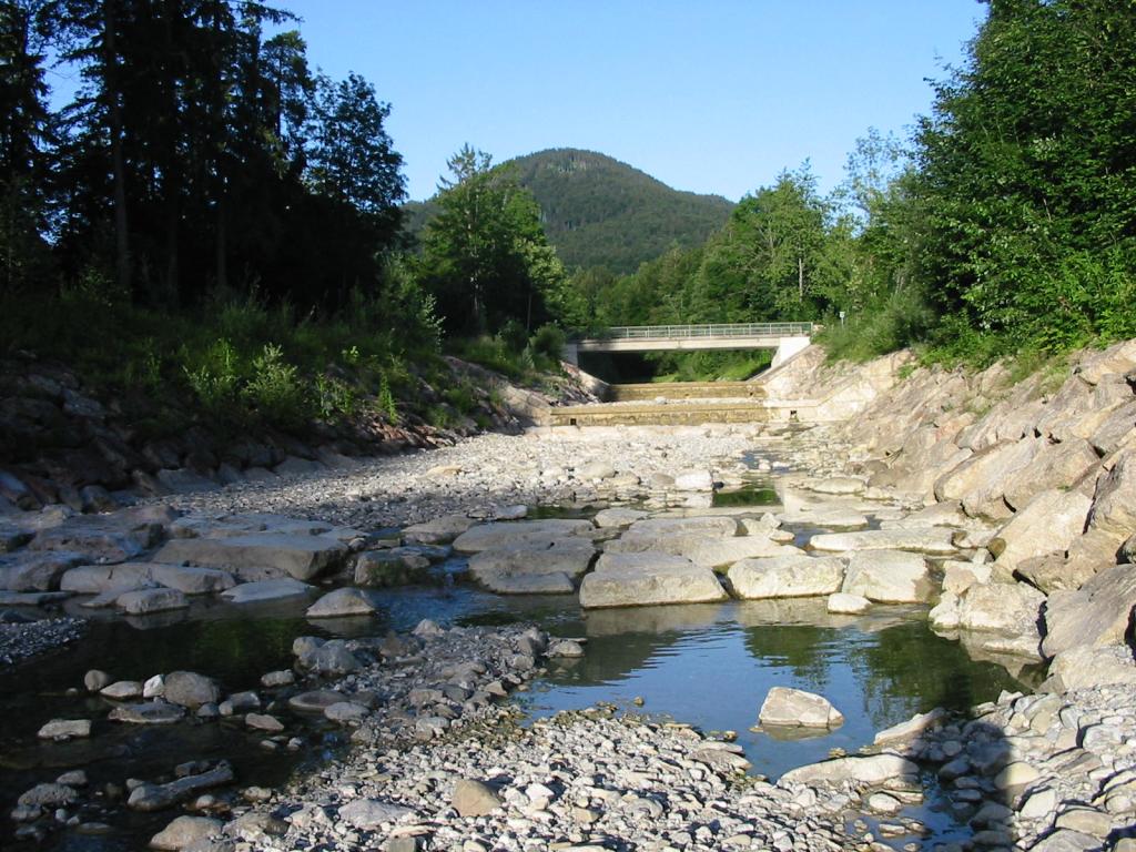
Hike end point
Afterwards
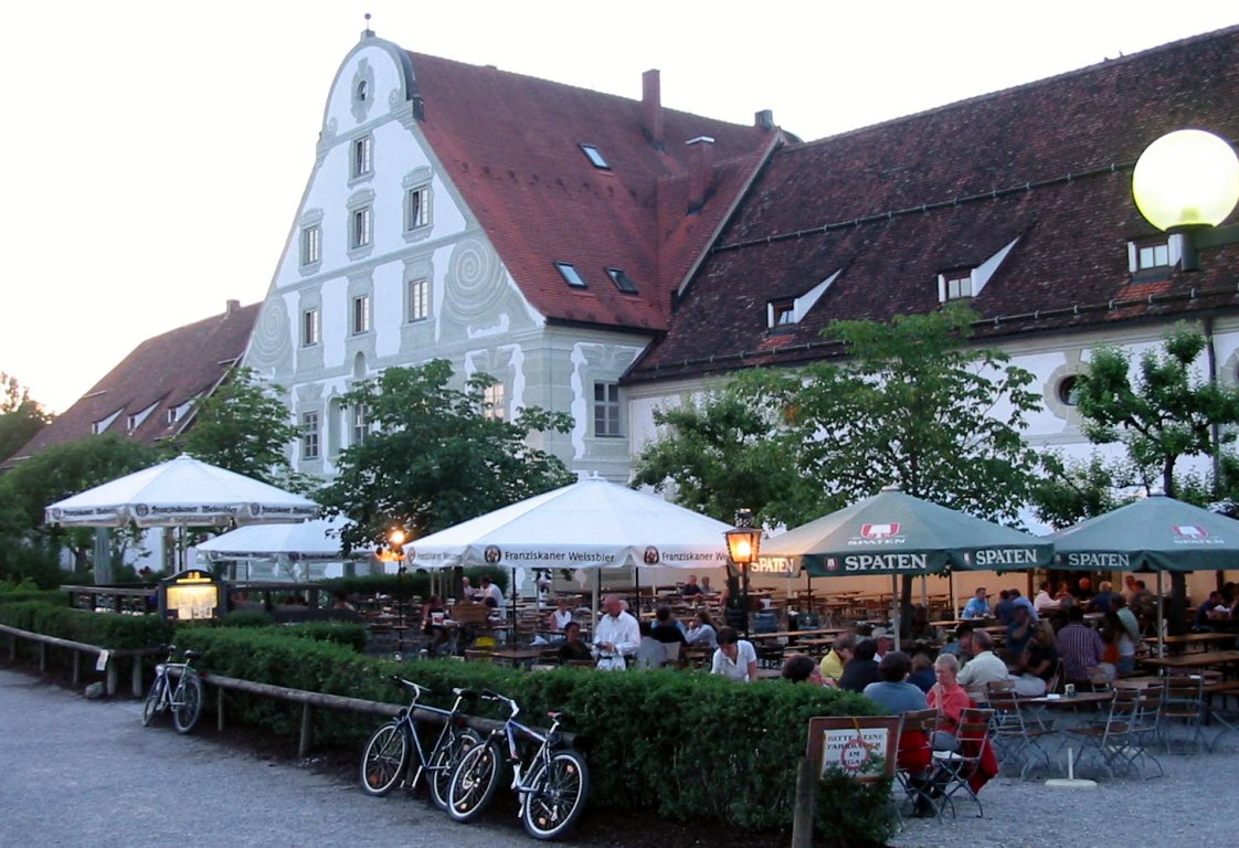
We’ll eat at the Benediktbeuern Klosterbrauerei in Benediktbeuern. (Please try to make it for the meal – it’s the best part of the day!)
Journey back
| Dep. Benediktbeuern | 18:43 | 19:43 | 20:43 | 22:43 |
| Arr. Tutzing | 19:11 | 20:11 | 21:11 | 23:11 |
| Dep. Tutzing | 19:21 | 20:21 | 21:21 | 23:42 |
| Arr. Hauptbahnhof | 19:47 | 20:47 | 21:49 | 00:08 |
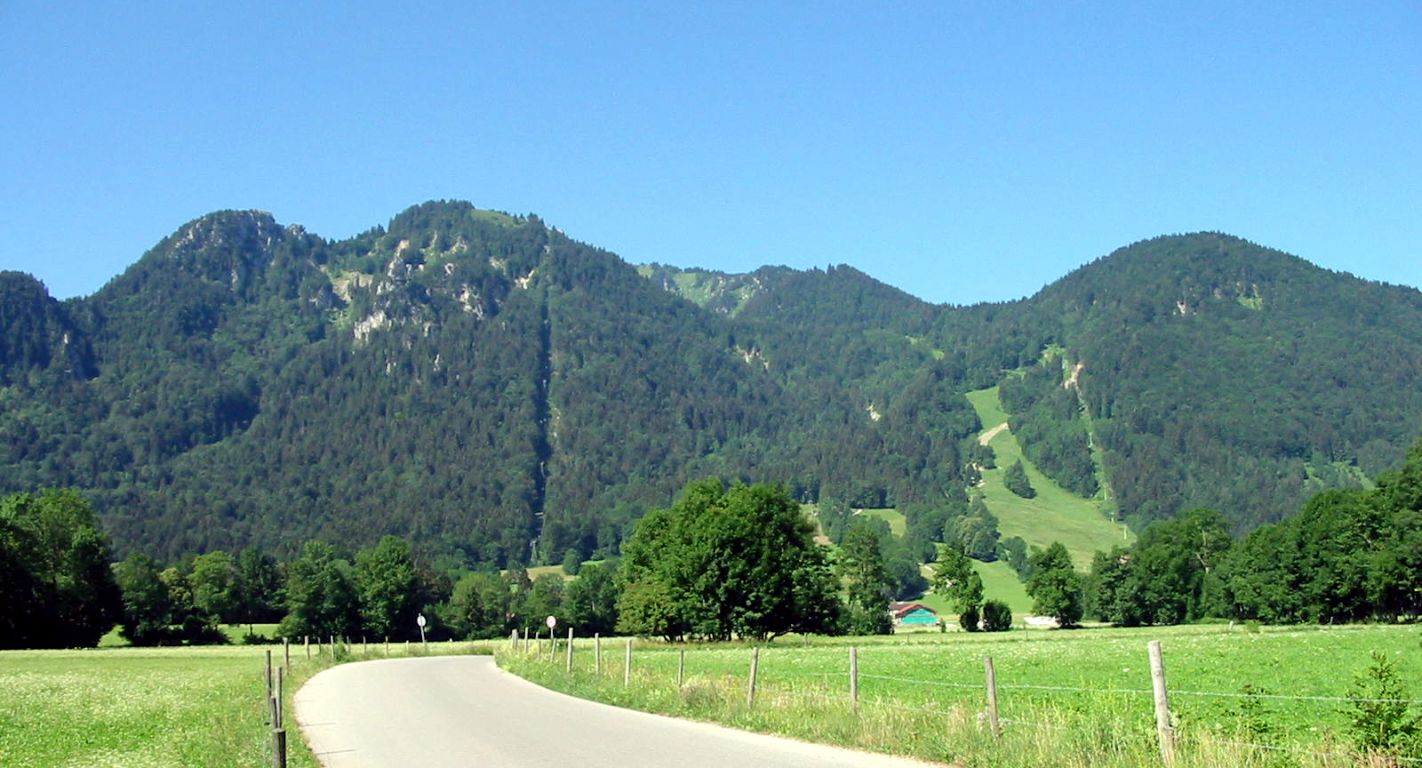
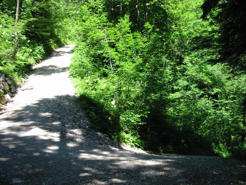
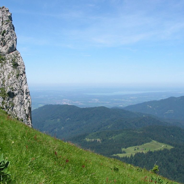
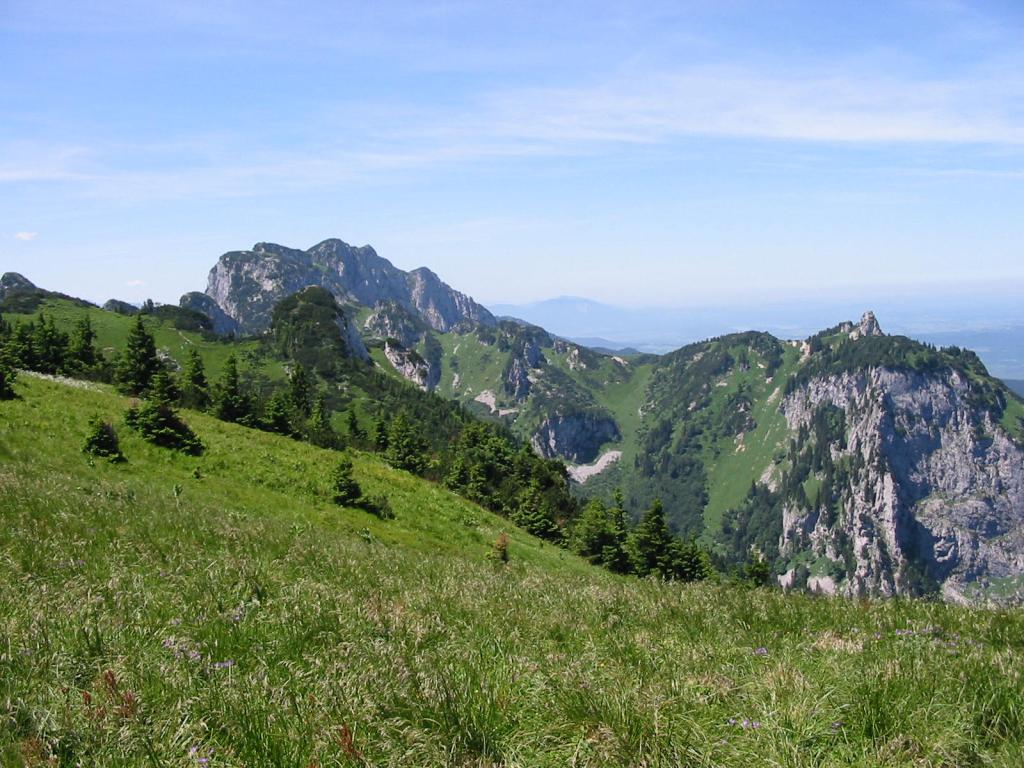
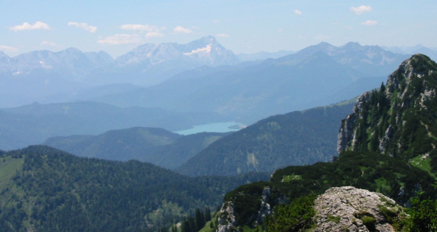
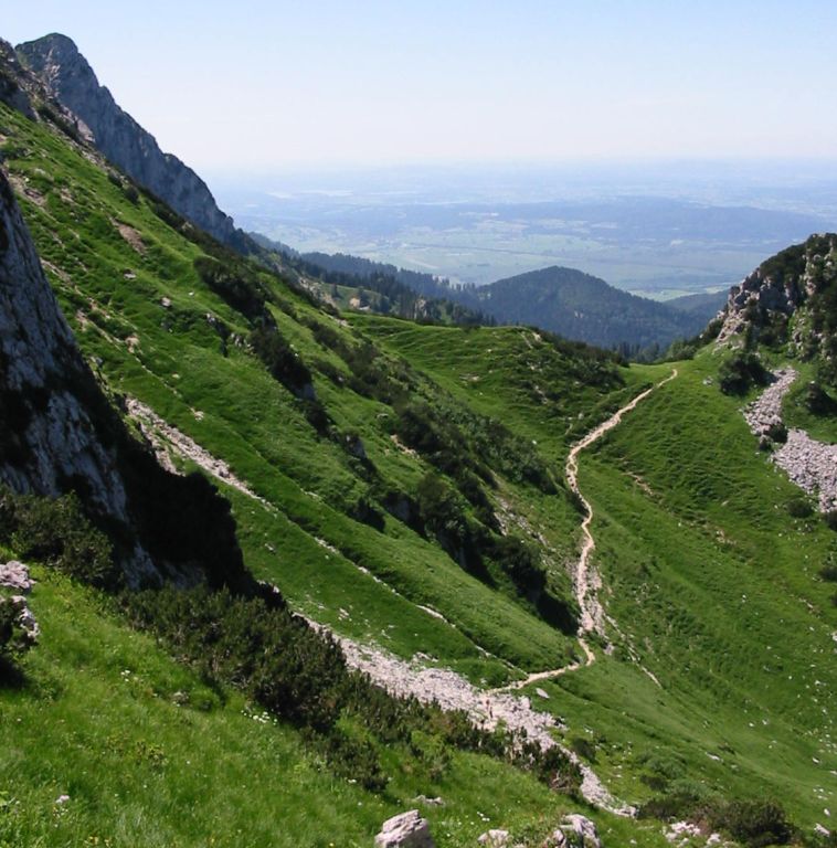
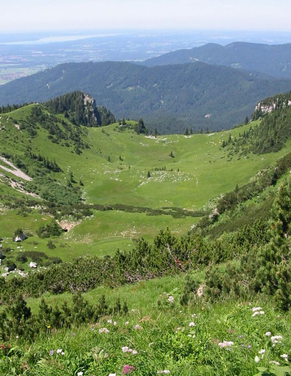
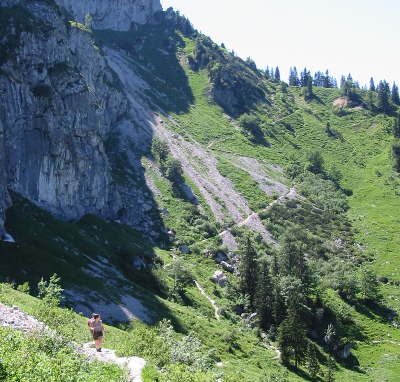
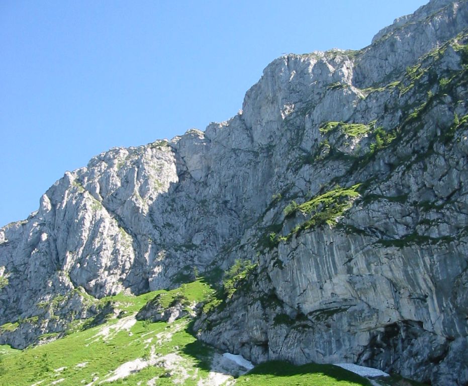
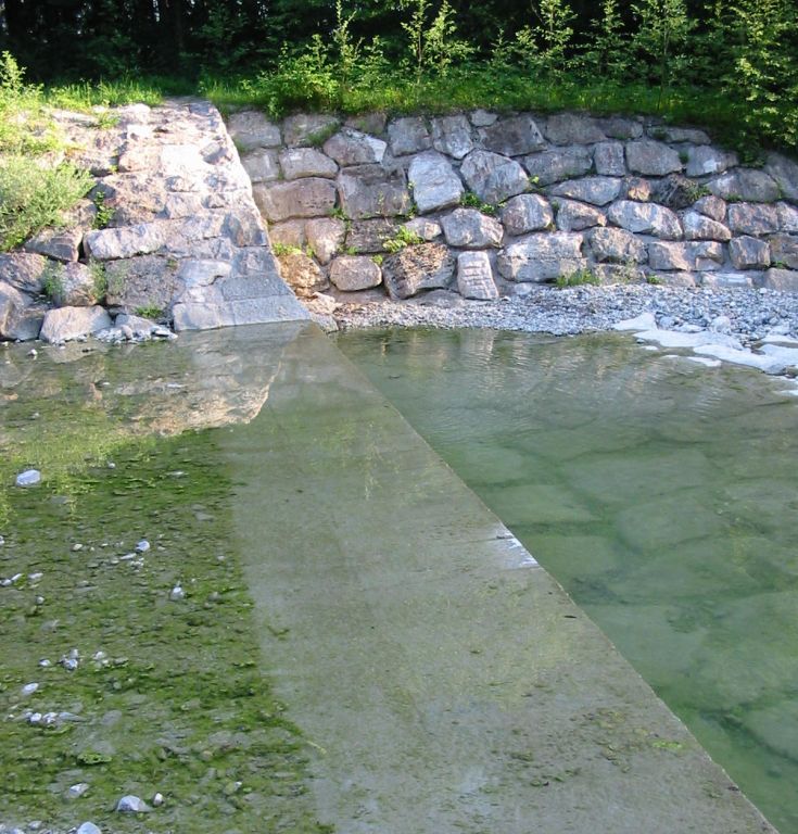
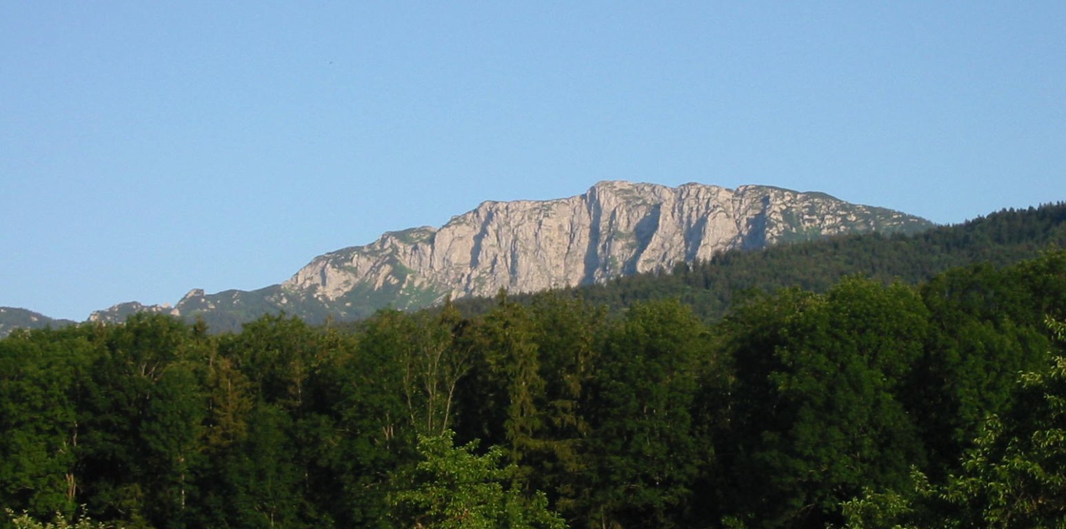
Photos
Important stuff
- If you want to share a group ticket let me know!
- You should definitely check the weather!
- For my peace of mind, some conditions apply!