
Date
24/11/2002
Journey there
| Dep. Maierleibnitzstr | 08:15 | (Meet at bus-stop) |
| Arr. Hauptbahnhof | 09:15 | (Meet under departure board, platforms 25-26) |
| Dep. Hauptbahnhof | 09:34 | |
| Arr. Lenggries | 10:41 |
Hike start point
Hike map
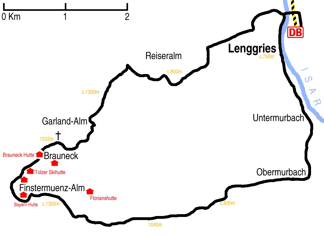
Hike map in other formats
![]()
Hike description
- From Lenggries Bahnhof (754m), head back 300m north along the right side of the railway and cross left – west – over the line and then over the river.
- Continue south-west for 3Km through Luitpolderhöfer and Gilgenhöer, towards Reiseralm, but before reaching it turn left – south – towards the lift.
- Then follow the E4 path east and then south-east for 6Km to the top of the lift.
- Then it is either 1 Km direct or 2Km over Brauneck (1555m) to Brauneck Hütte (1548m).
- Then are then several loops of about 3Km between the many hüttes all joining up with the path east back to Lenggries.
- Once back on the path to Lenggries it is about 8Km down to Obermurbach, and then 3Km north to Lenggries.
Hike end point
Afterwards
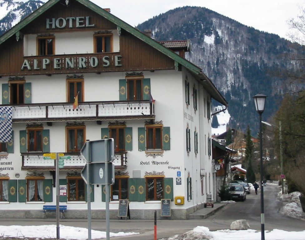
We’ll eat at Der Altwirt in Lenggries. (Please try to make it for the meal – it’s the best part of the day!)
Journey back
| Dep. Lenggries | 16:17 | 17:17 | 18:17 | 19:17 | 20:17 | 22:22 |
| Arr. Hauptbahnhof | 17:26 | 18:26 | 19:26 | 20:26 | 21:26 | 23:26 |
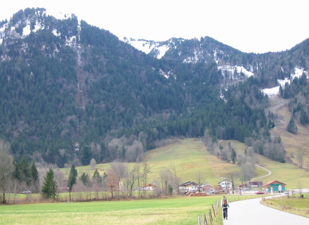
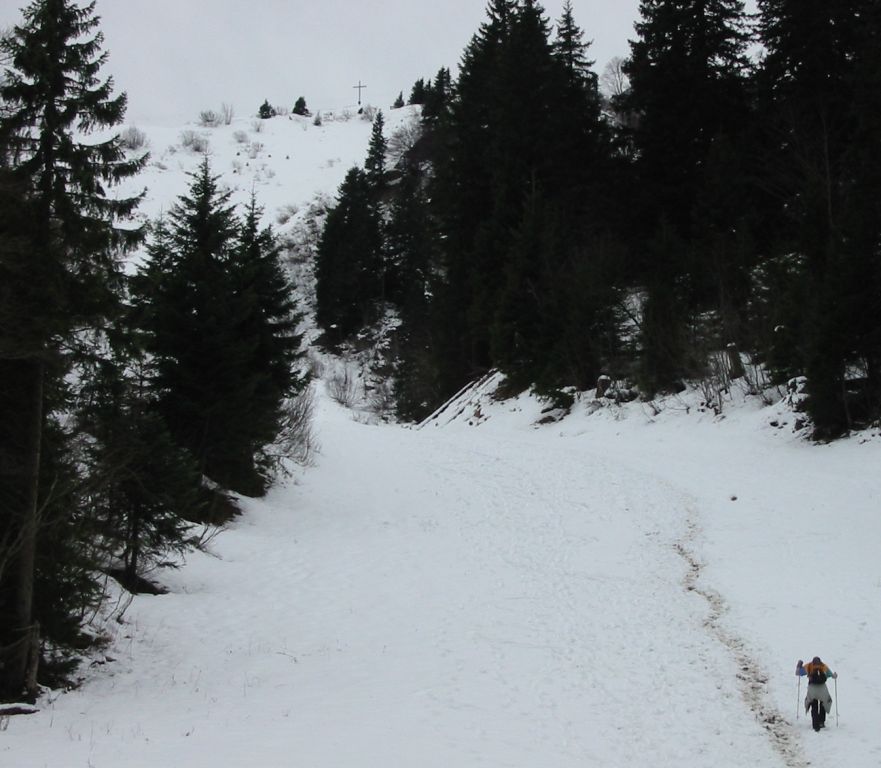
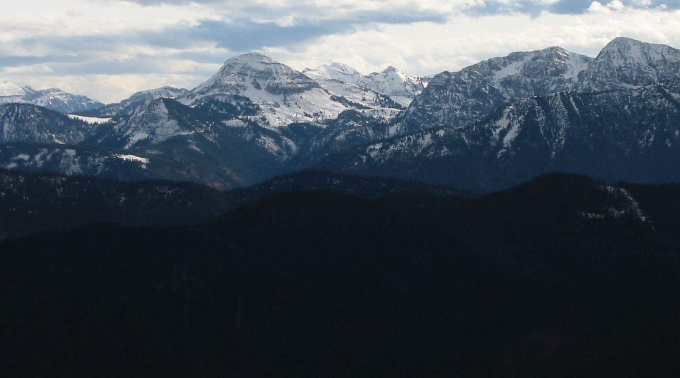
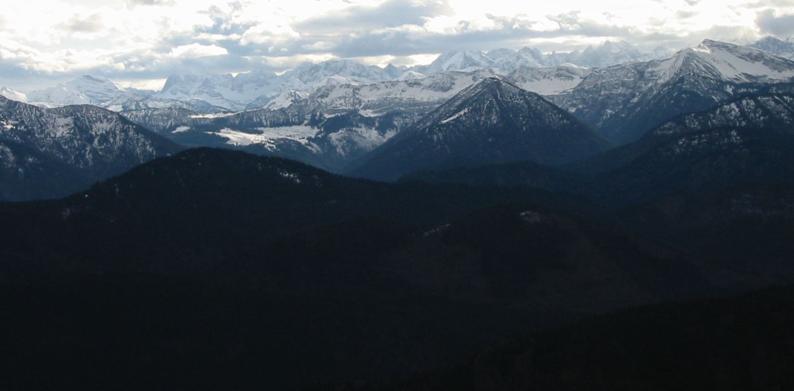
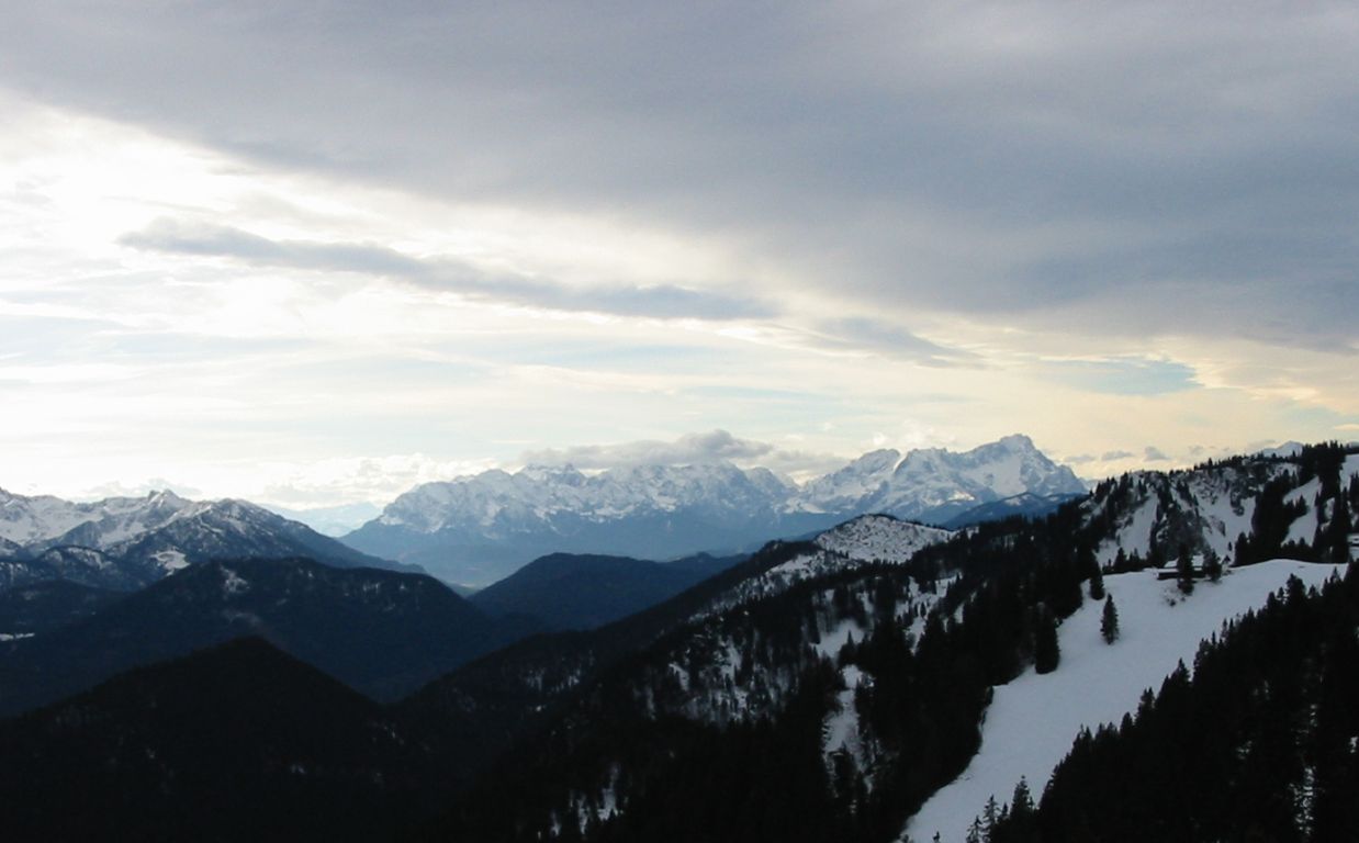
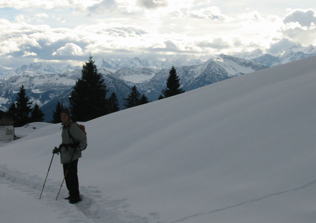
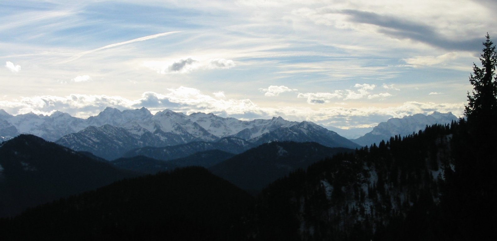
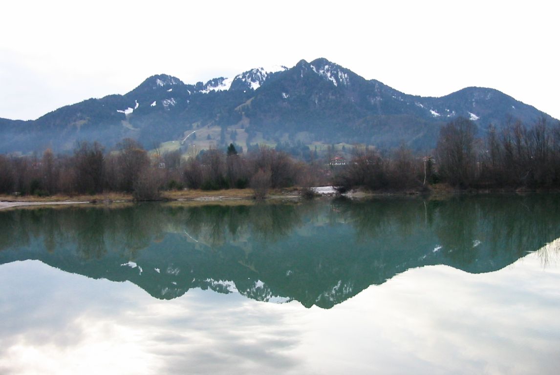
Photos
Important stuff
- If you want to share a group ticket let me know!
- You should definitely check the weather!
- For my peace of mind, some conditions apply!