
Date
24/06/2006
Journey there
| Dep. Michelbeuern-AKH | 07:19 | (U6) |
| Arr. Philadelphiabrücke / Meidling | 07:32 | |
| Dep. Philadelphiabrücke / Meidling | 08:00 | (ER7763 gleis 5) |
| Arr. Wiener Neustadt | 08:27 | |
| Dep. Wiener Neustadt | 08:32 | (R6523 gleis 8a) |
| Arr. Miesenbach-Waidmannsfeld | 09:11 | (prev. stn. Oed) |
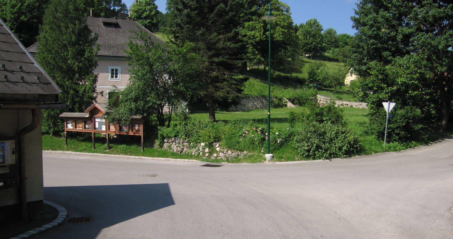
Hike start point
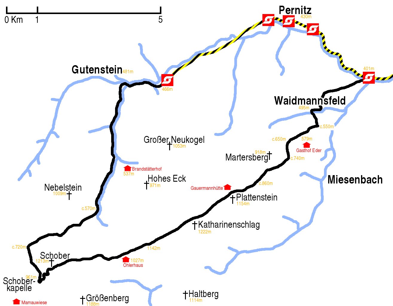
Hike map
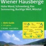
Hike map in other formats
![]()
Hike description
- From Miesenbach-Waidmannsfeld station (401m), walk west to the end of the platform, turn left over the green bridge over the Piesting river, walk past the restaurant, and turn right into the Zenz Sägewerk (sawmill); there is no sign on the corner indicating this is the correct way, but at the back of the mill there are some green stripes on the walls indicating it is the right way.
- There are several points at which there are no green stripes, and it is not clear what to do; at a house called Reichentalhof Haus just go round the left side, at the meadow behind Reichentalhof Haus stick to the left side of the meadow and after only 20m there is are green stripes directing you up a litle path, at the next meadow just keep to the left until you go past an isolated tree and then down tractor path leading into Waidmannsfeld (495m).
- There are red stripes guiding you through Waidmannsfeld via Talweisenstrasse, Hauptstrasse and Waidmannsbachsbachstrasse. One point at which it is not clear is at a fork in the road with a village noticeboard on the right side of the left fork; go left here. (There is a red stripe on the noticeboard.) When the Hauptstrasse starts descending to a left turn by the Dorf Cafe, a small shortcut can be made by taking the Hochweg road on the right side, which runs parallel with the Hauptstrasse at this point; it will bring you out a little way down Waidmannsbachsbachstrasse.
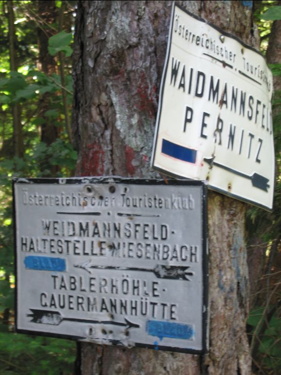
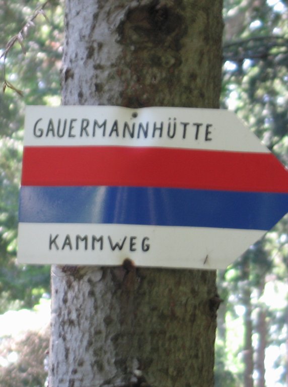
- Opposite Waidmannsbachsbachstrasse 10 is the south left turning onto the 201 path again, and after 600m you reach a point where two paths cross (c.550m), with signposts to Waidmannsfeld, Pernitz, Tablerhöhe, Gauermannhütte and Miesenbach. Take the right, west, blue-signed 201 fork.
- After about 1km there is a left turning (579m) leading to Gasthof Eder; stay on the main path going straight ahead west, staying on the 201 path.
- Continue for 3km. According to the map this should mean passing a fork in the path with each fork leading in different directions around Martersberg, but this does not appear to be signed. There are a couple of unsigned forks, but stick to the main path (left in both cases).
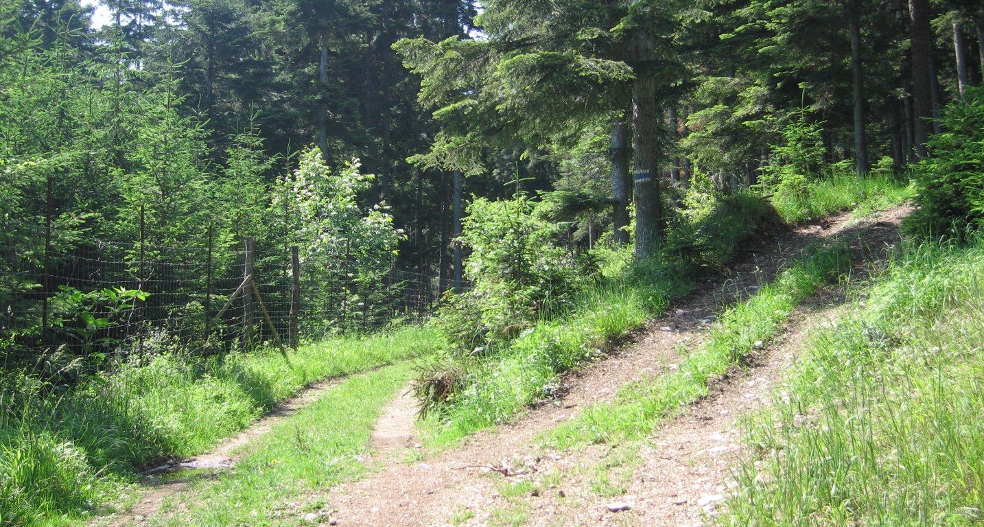
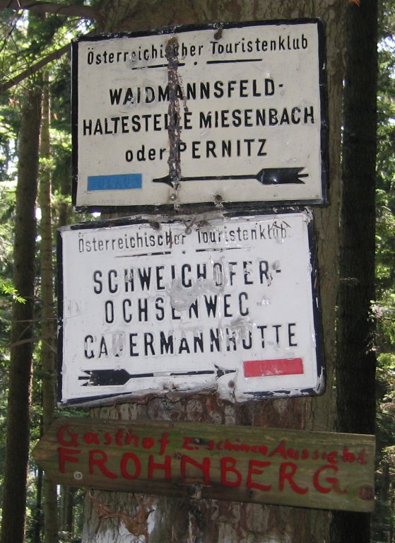
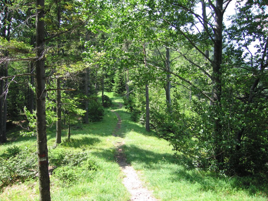
- Eventually, on a woodland path, you will reach two signs which direct you to Gauermannhütte in two different directions. The main left path stays level and goes also to Schweichofer Ochsenweg. The smaller right path rises up through the forest and is signed as the Gauermannhütte Kammweg. Take this second, right path, going south-west.
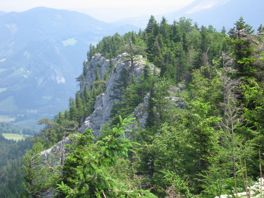
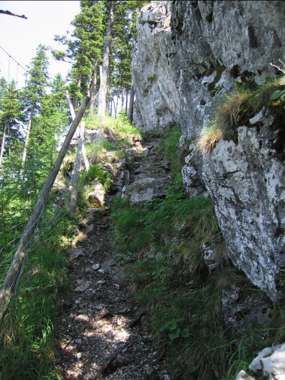
- Ascending Martersberg in a clockwise turn for 2Km to the saddle point between Martersberg and Plattenstein (c.860m). The saddle point is a meadow with a unsigned gravel track one two metres to the right of the footpath; do not go along the track; stay on the footpath; a few metres further along there are blue and red stripes on the trees indicating this is correct.
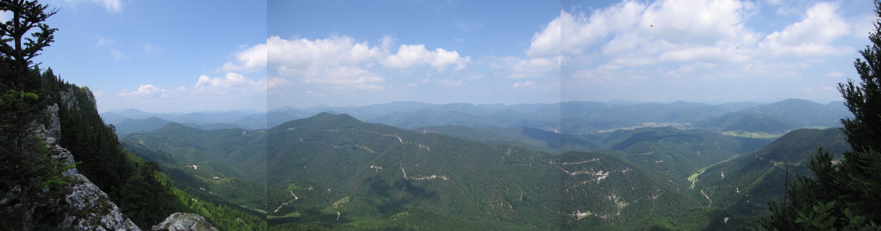
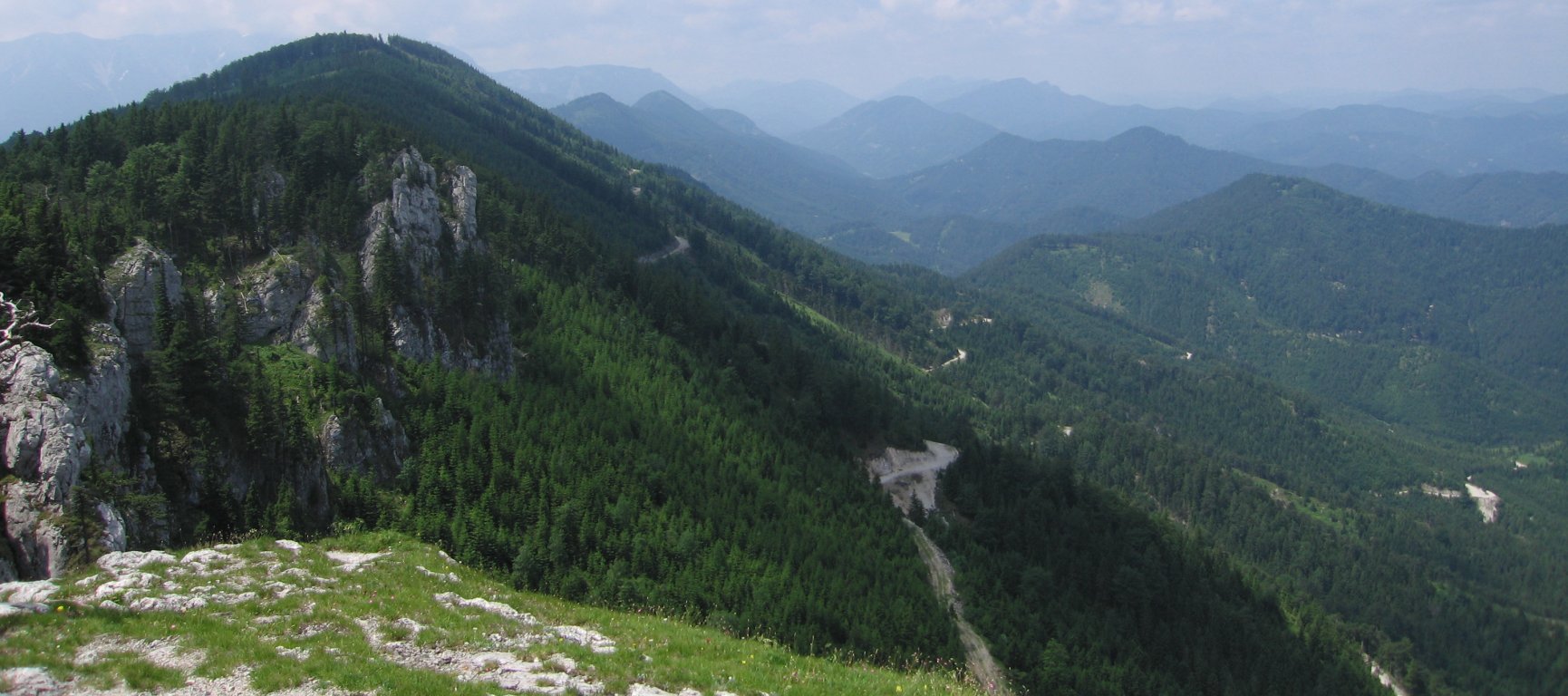
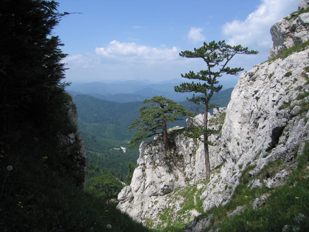
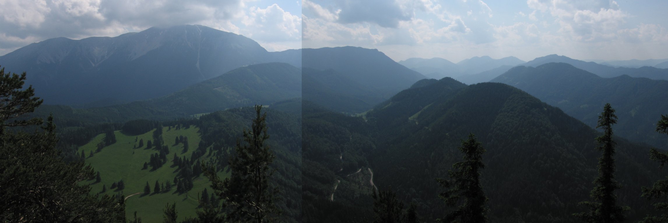
- From the saddle continue on the 201 path on the Dürre Wand ridge for 3km, following signs to Öhlehaus, past several several vantage points looking over the Waidmannsbachtal valley to the twin peaks of Grosser Neukogel, to Plattensteig (1154m).
- Immediately after Plattenstieg watch out for the fork, the left branch of which immediately starts descending. If you start descending then you missed the turning!
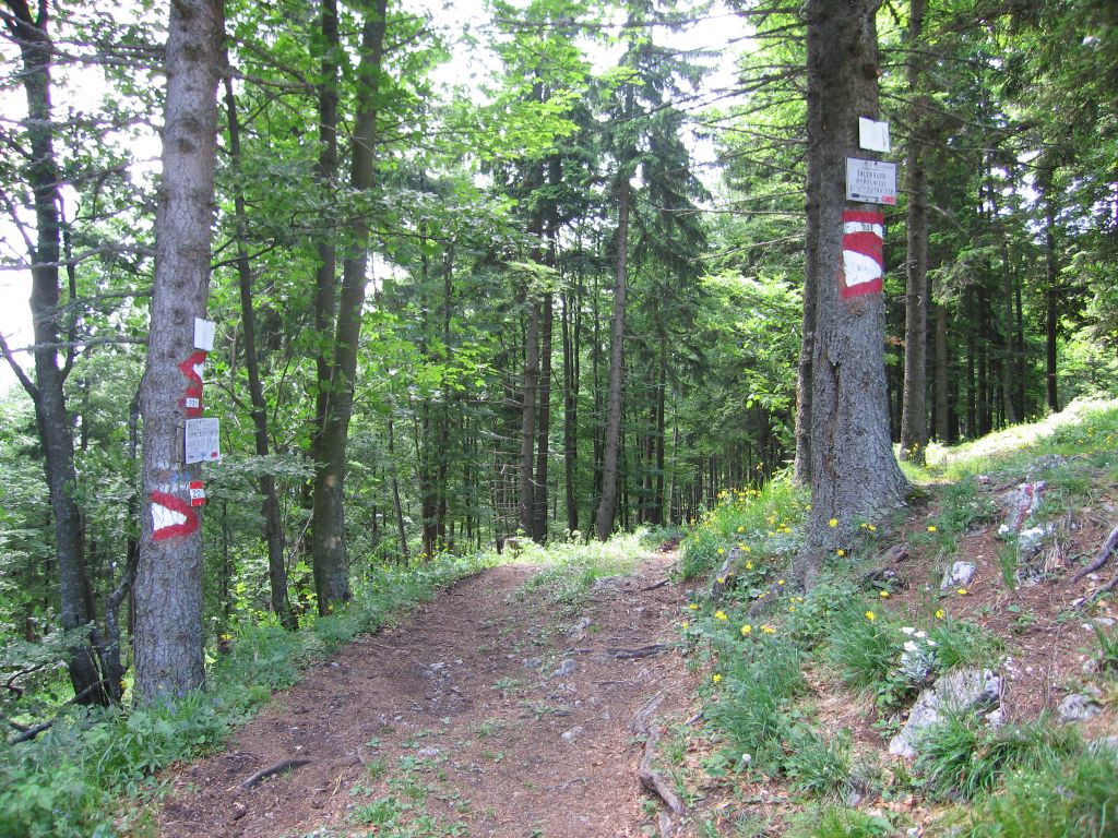
- Immediately after Öhlerhaus there is a fork with the left branch signed with red stripes and the straight-ahead branch signed with yellow and green stripes. Take the straight-ahead branch. Immediately after that there is another fork with the left branch signed yellow to Schoberkreuz, Schober and Schoberkapelle and the right fork signed green to Zinsenstein. Take the right branch.
- 1km further on there is an unclearly signed fork; there is a tree to the left with a yellow triangle on, but it is not clear if this is indicating to take the left or right fork. Check the trees for marks at the start of each fork (Sorry! I took the left branch and – judging by later difficulties I am not sure this was correct).
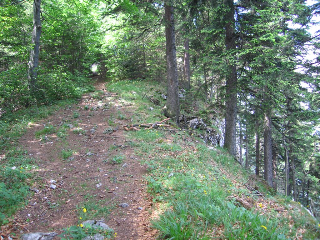
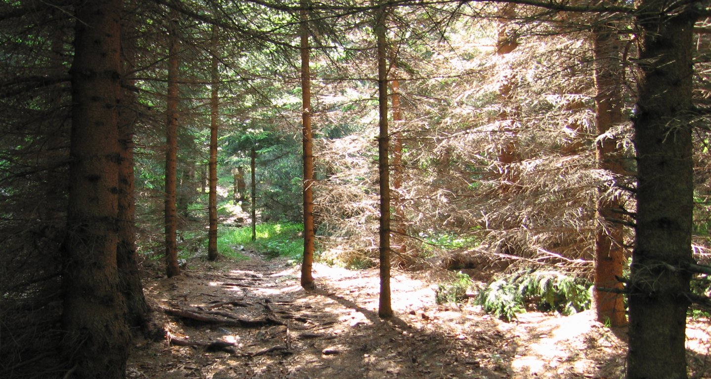
- Ascending the Schober ridge, watch out to stay on the well-signed path; if you don’t see any signs then you are on the wrong path!
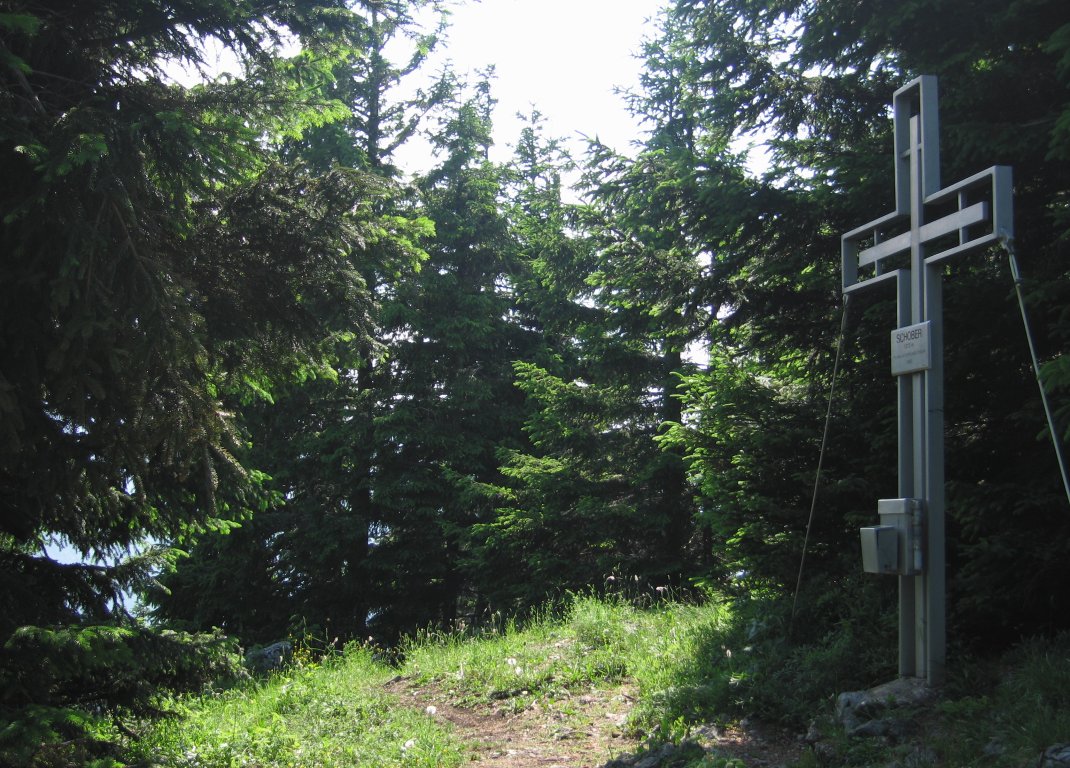
- Follow the Schober ridge path for 3km to Schober (1213m),
- At the bottom of the descent from Schober, do not cross the fence to pass the kapelle, but instead turn right. Although there is no sign here indicating this is the right path, you will quicky seen red stripes on trees and stones.
- For 2km descend through the Schwarzgraben valley, before the path turns north east (c.720). The map can be a little confusing during this part, but the red stripe signs are correct; follow them.
- At the T-junction turn right, and follow the signs to direct you to Bundestrasse 21, and follow that east for 2km to Gutenstein railway station (466m).
Hike end point
Afterwards
We will eat at “Gutensteiner Hof” in Vorderbruck, directly opposite Gutenstein railway station. (Please try to make it for the meal – it’s the best part of the day!)
Journey back
| Dep. Gutenstein | 16:48 | 17:31 | 18:35 | 19:31 | 21:31 |
| Arr. Wr.Neustadt Hbf | 18:26 | 19:26 | 20:25 | 22:24 | |
| Dep. Wr.Neustadt Hbf | 18:35 | 19:35 | 20:35 | 22:33 | |
| Arr. Wien Meidling | 18:59 | 19:13 | 20:13 | 21:13 | 22:59 |
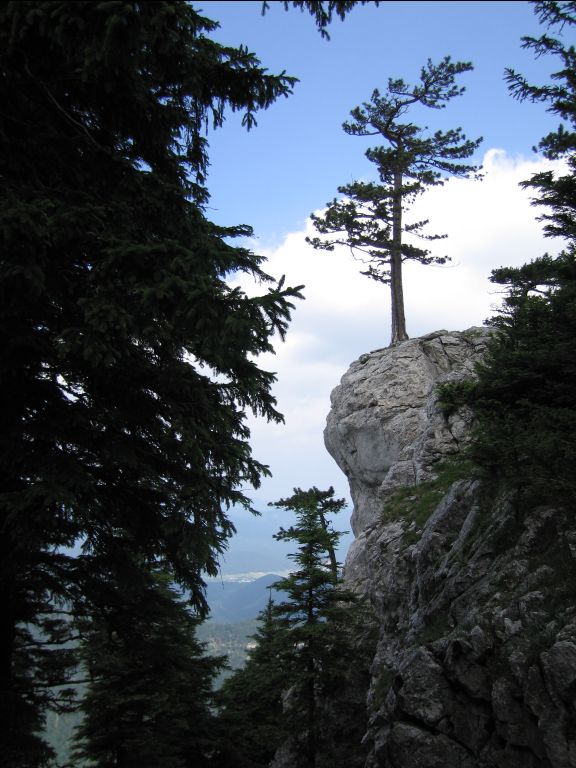
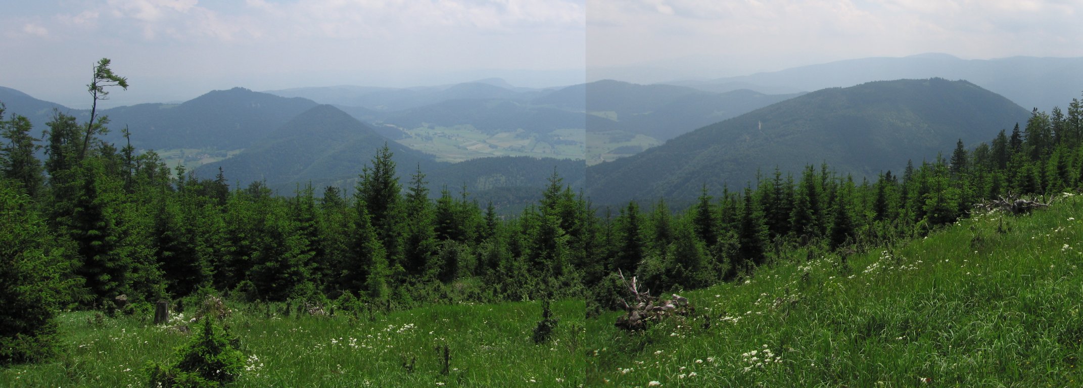
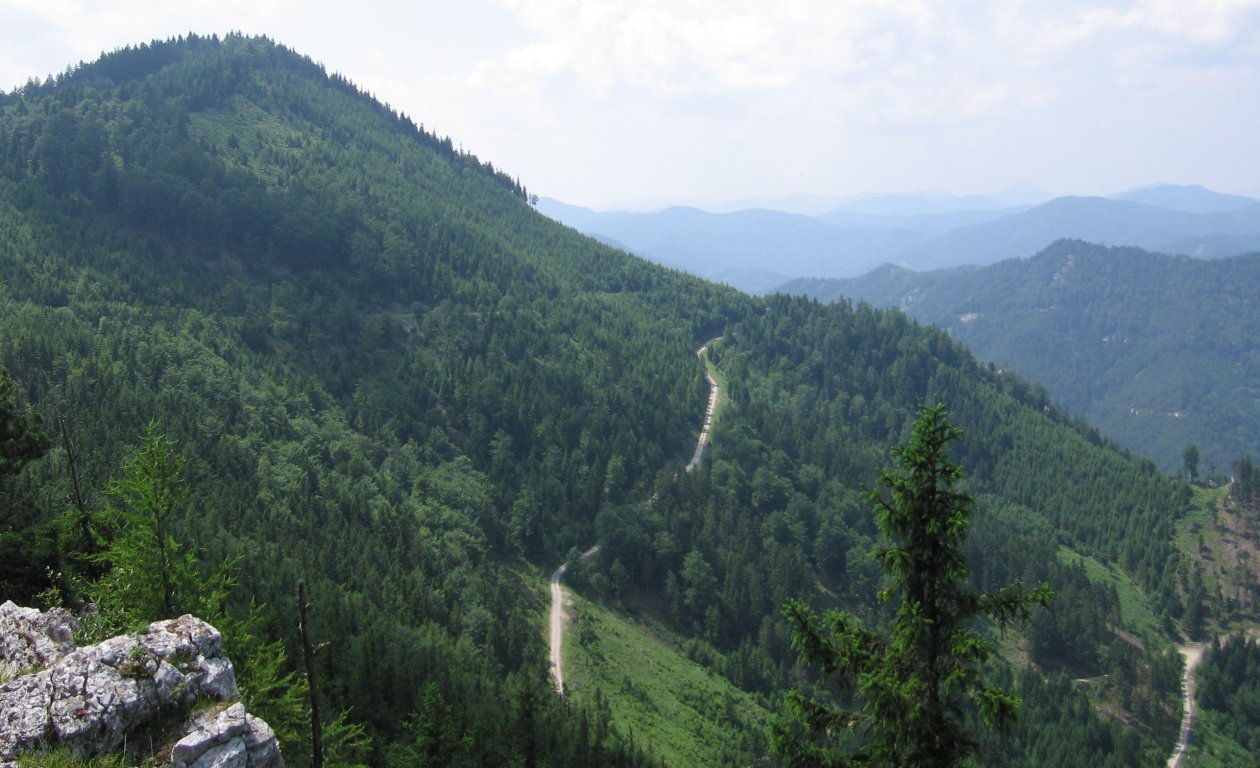
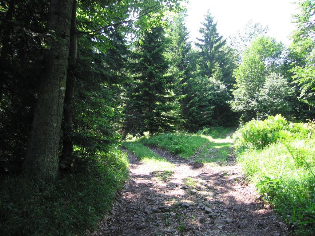
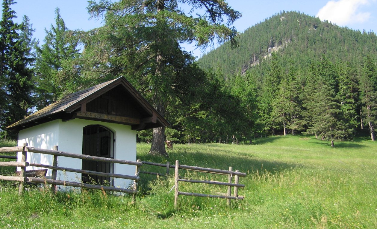
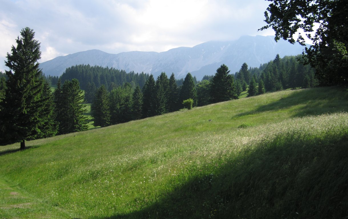
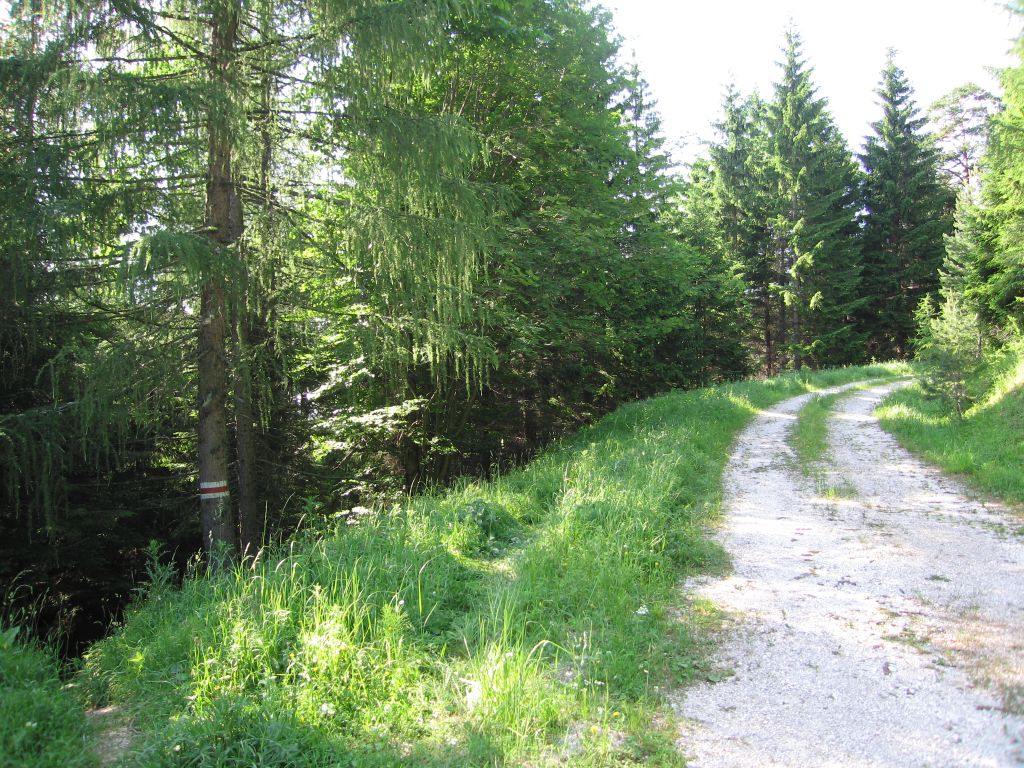
Photos
Important stuff
- If you want to share a group ticket let me know!
- You should definitely check the weather!
- For my peace of mind, some conditions apply!
See also
lasag