
Date
13/07/2008
Journey there
| Dep. Ismaning | 08:56 | (Meet on platform) |
| Arr. Hauptbahnhof | 09:23 | |
| Meet Hauptbahnhof | 09:25 | (Meet under departure board, platforms 25-26) |
| Dep. Hauptbahnhof | 09:42 | |
| Arr. Bayrischzell | 11:00 |
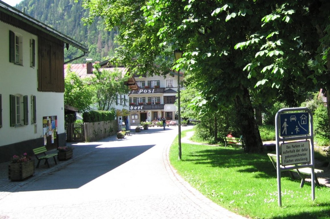
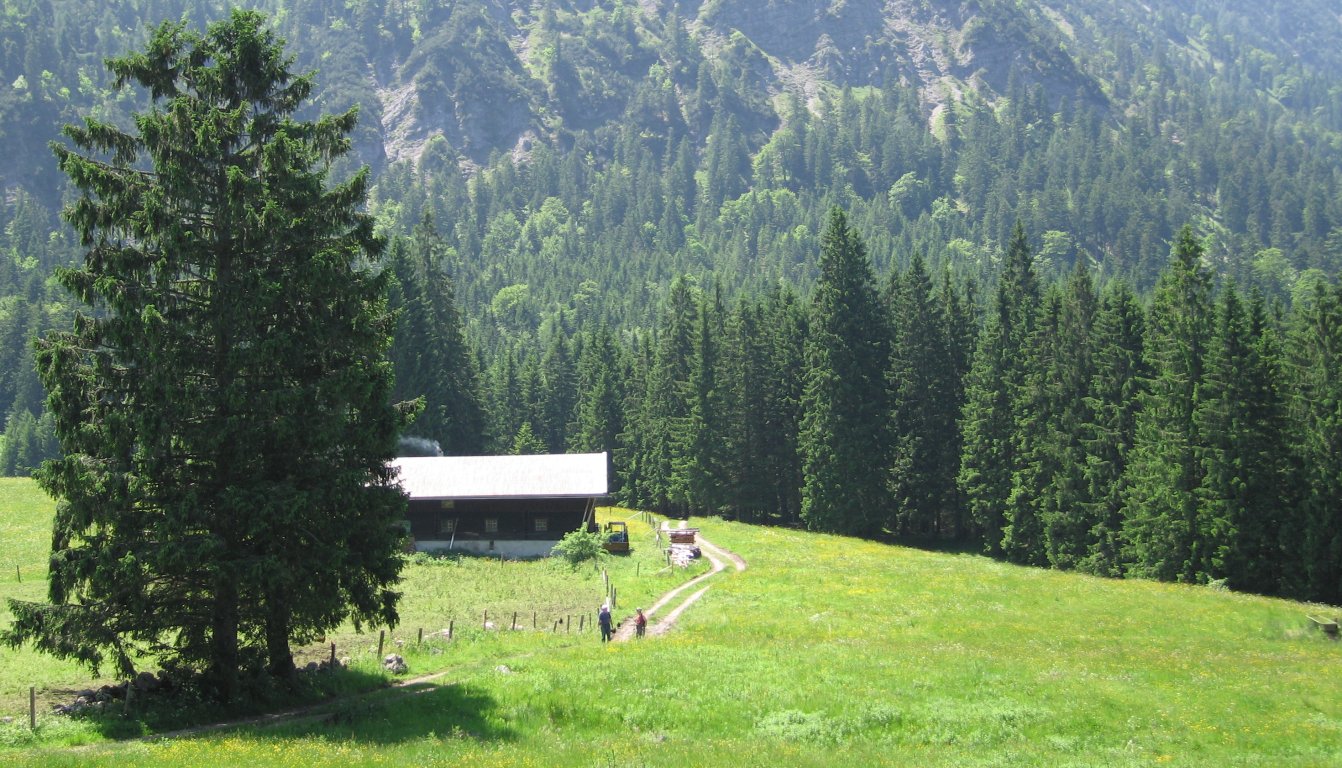
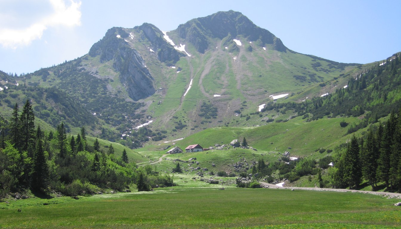
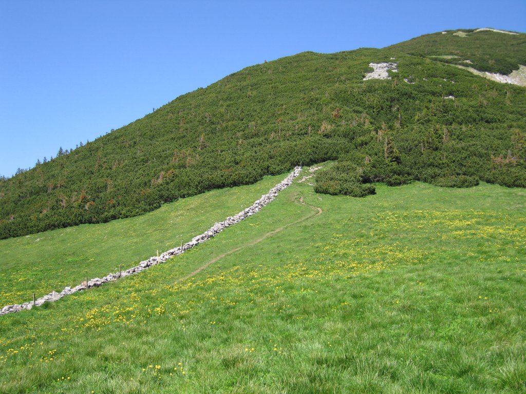
Hike start point
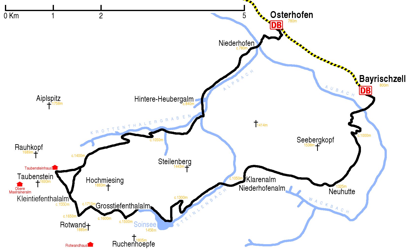
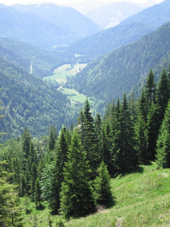
Hike map
Hike map in other formats
![]()
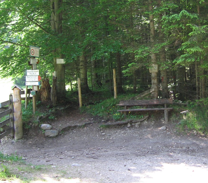
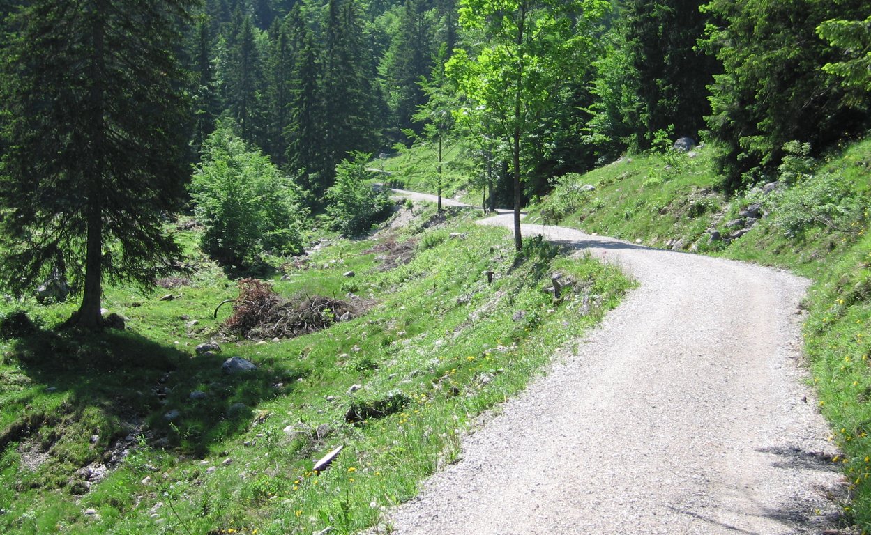
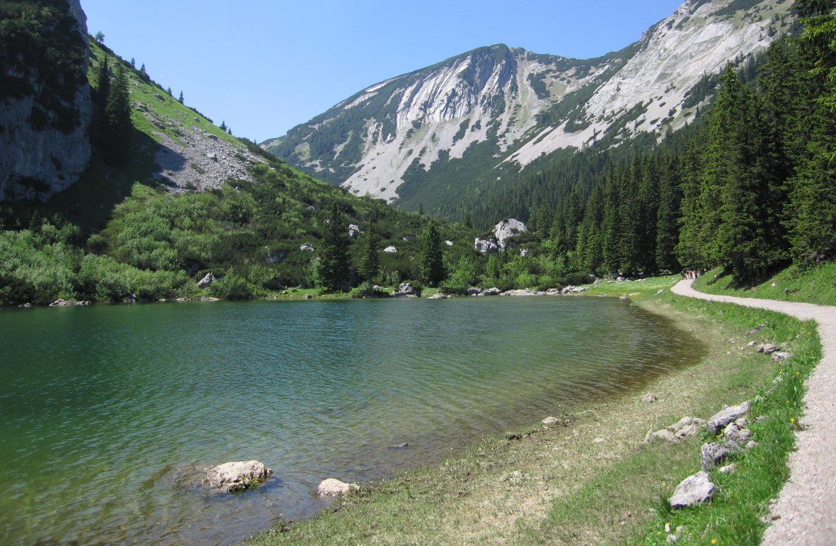
Hike description
- From Bayrischzell Bahnhof (c.810m) walk 50m south down the station road and turn left at the main road. Walk 200m south-east along the main road and immediately after the road crosses a stream, turn right into Schulstrasse.
- Walk 500m south-west to the end of road, go through the subway under the main road into the park on the other side, follow the signs to Seeberg and Bayrischzeller Höhenweg.
- At the near corner of the mini-golf course, take the right fork, so that the mini-gold course is on your left (this fork is not signposted), going first west and then south-west for 3Km to Neuhutte (1325m).
- Continue 3Km east along the Bayrischzeller Höhenweg to Klarenalmsattel (c.1050m).
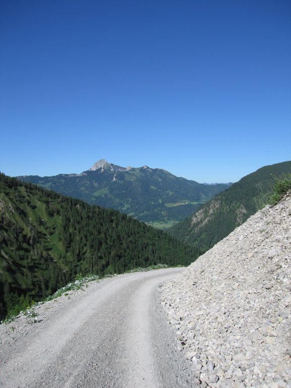
- At the saddle, cross the mainpathfollowing the B4 immediately back into woodland in the direction of Rotwand über Soinsee for 800m west to where the path joins the main B4/645 path (c.1100m) to Soinsee. (There is a big stone with red arrows painted on it.)
- Follow the steep path west for 3Km to Soinsee (1458m).
- Follow the B4/645 west along the lake and for a further 1Km to the end of the large track (1500m).
- Then turn right, and go for 1Km up to the saddle between Rotwand and Hoch Miesing (c.1710m).
- Take the left path which goes south-west cutting across the back side of Rotwand for 500m before turning north-west and rapidly descending for 500m to Kleintiefenthalalm (c.1550m),
- Then go north-east for 1Km along the B7 to where it joins the B6.
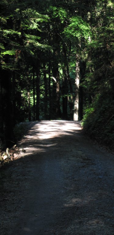
- Then go north-east for 5Km along the B6 to the bridge over the Steilenbach (c.840m).
- After crossing the bridge, turn left and follow the sign for Geitau/Osterhofen/Bayrischzell for about 500m, going past the doubling-back unsigned left fork.
- Shortly after this doubling-back unsigned left fork, then take a right fork, which leads to Osterhofen, for 3Km.
- At the main road, turn right, and after 200m turn left into a road labelled “Osterhofen 1-79” to Osterhofen Bahnhof (c.780m).
Hike end point
Afterwards
We’ll eat at in Osterhofen (but note that Landgasthof Schäfer is permanently closed). (Please try to make it for the meal – it’s the best part of the day!)
Journey back
| Dep. Osterhofen | 18:10 | 19:10 | 20:10 | 22:10 |
| Arr. Hauptbahnhof | 19:29 | 20:29 | 21:29 | 23:29 |
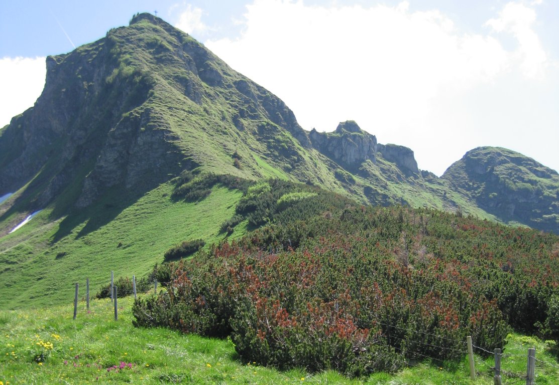
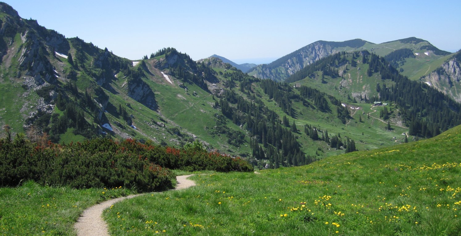
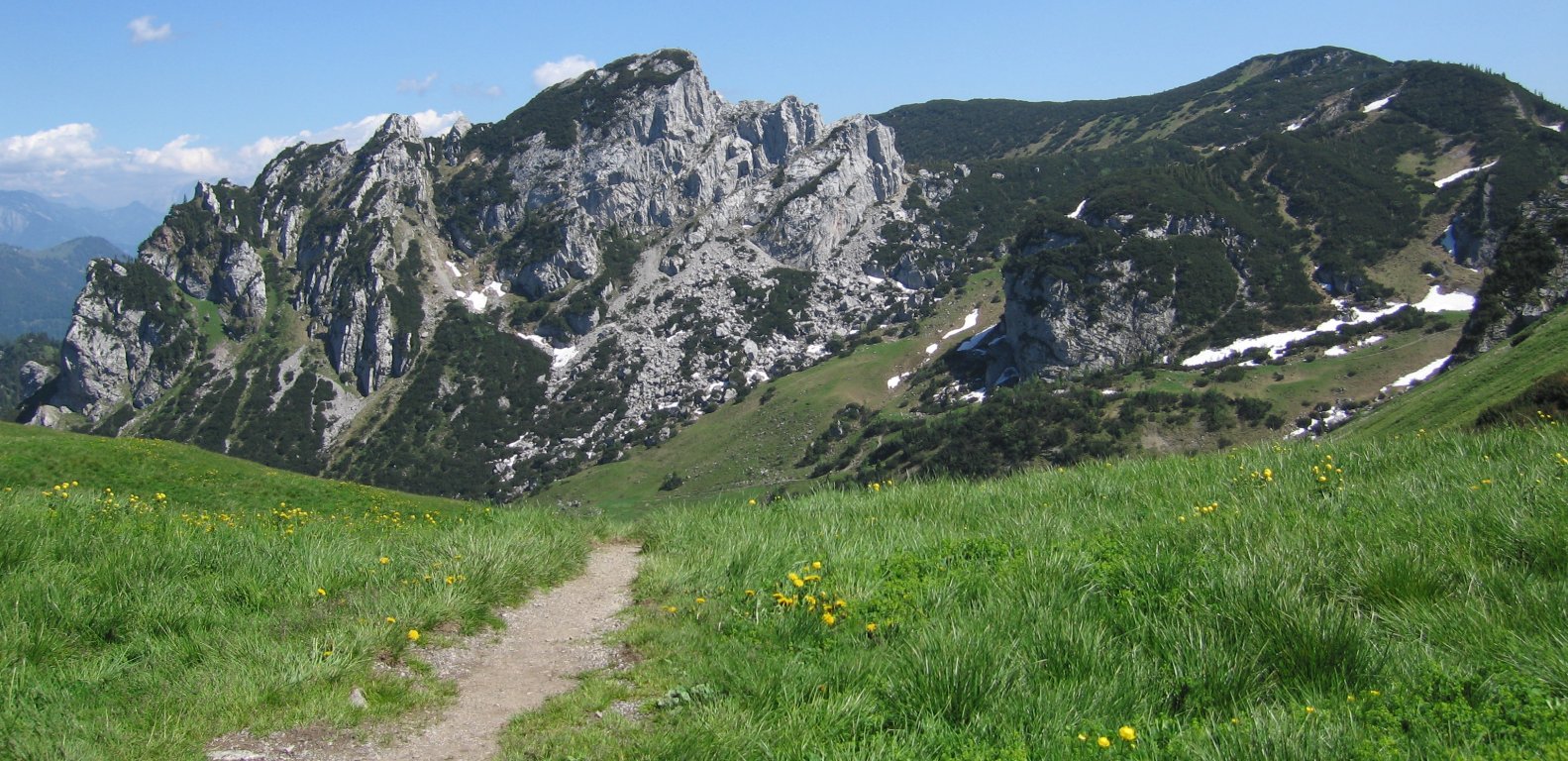
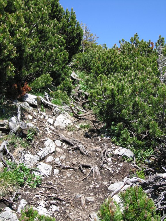
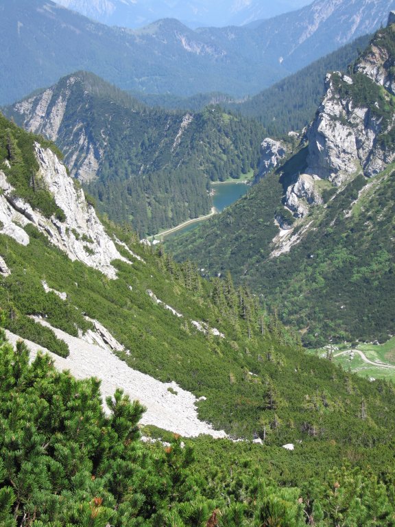
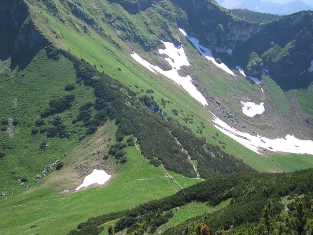
Photos


Important stuff
- If you want to share a group ticket let me know!
- You should definitely check the weather!
- For my peace of mind, some conditions apply!