
Date
11/05/2003
Journey there
| Dep. Maierleibnitzstr | 07:32 | (Meet at bus-stop) |
| Arr. Hauptbahnhof | 08:15 | (Meet under departure board, platforms 25-26) |
| Dep. Hauptbahnhof | 08:48 | |
| Arr. Prien am Chiemsee | 09:48 | |
| Dep. Prien am Chiemsee | 10:02 | |
| Arr. Aschau | 10:17 |
Hike start point
Hike map
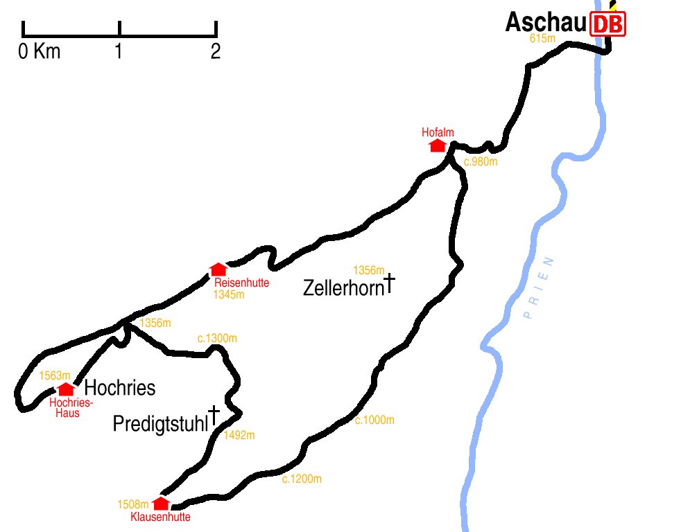
Hike map in other formats

![]()
Hike description
- From Aschau Bahnhof (615m) walk east for 1Km to the Hallenbad.
- Turn south onto the E4 and walk for 1Km to where the path divides into the E4 and 10 (c.980m).
- Then stay on the 10 as it gentle climbs to Klausenhütte (Austria) (1508m) over about 7Km.
- Follow the path 2Km as it turns back north-east over Klausenberg (1548m) to Predigstuhl (1492m).
- Stay on the same path for 3Km as it sharply turns north-west and then north to where it meets the path 26 and then the E4 again (1356m).
- From there, there is a 3Km loop, south-west over Hochries (1563m) and then – slightly to the north – north-east back again.
- Then it is an gentle 7Km back down the the E4/10 fork (c.980m), and then 2Km back to Aschau.
Hike end point
Afterwards
Gasthof Kampenwand in Aschau has a limited but excellent menu. (Please try to make it for the meal – it’s the best part of the day!)
Journey back
| Dep. Aschau | 17:50 | 18:48 | 20:18 | |||
| Arr. Prien | 18:03 | 19:03 | 20:33 | |||
| Dep. Prien | 18:09 | 19:10 | 20:09 | 21:10 | 22:13 | |
| Arr. Hauptbahnhof | 19:12 | 20:20 | 21:12 | 22:19 | 23:16 |
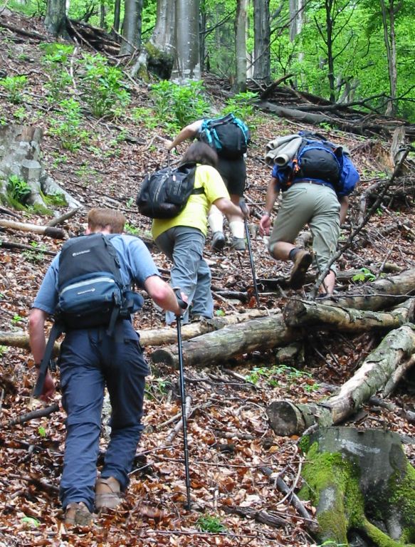
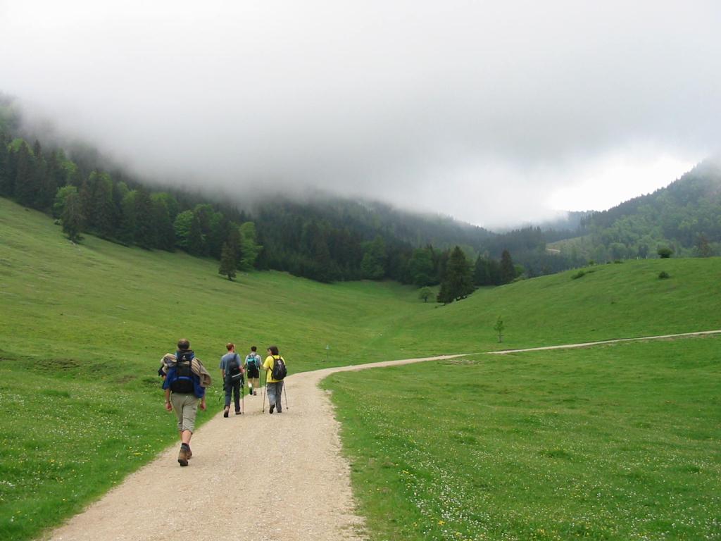
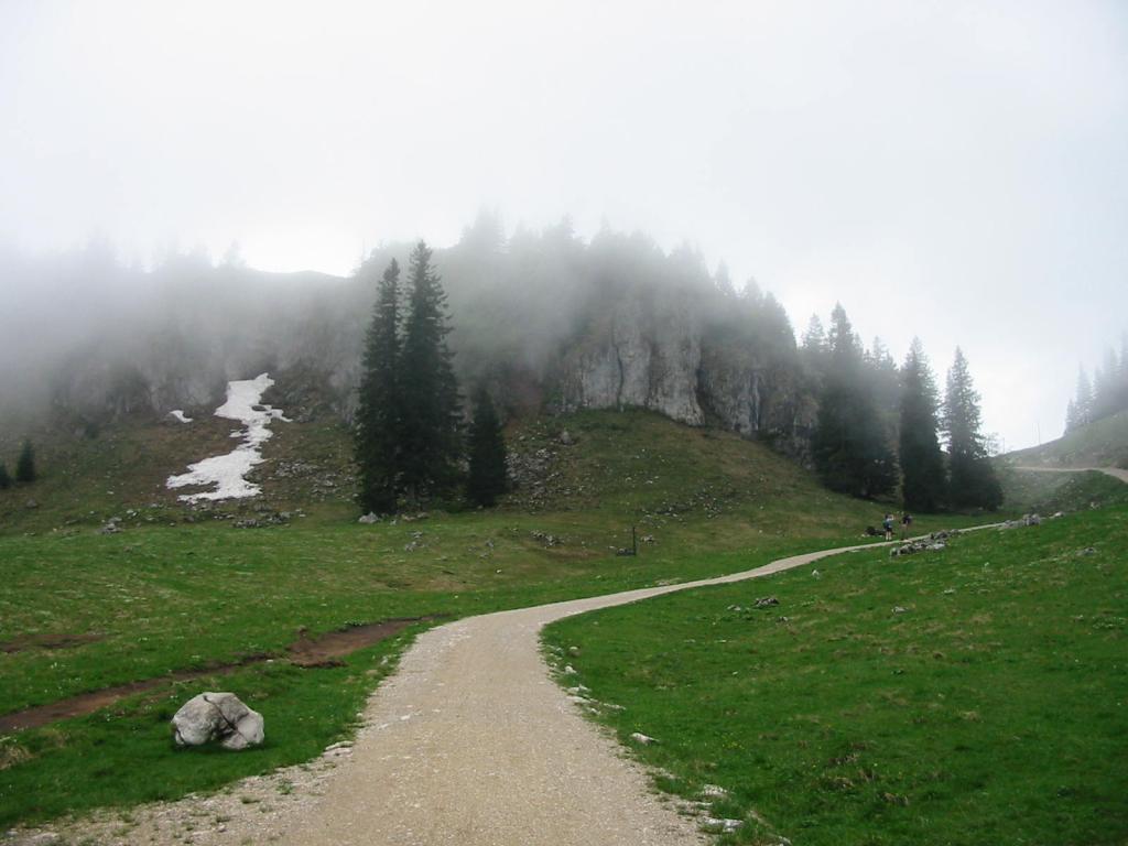
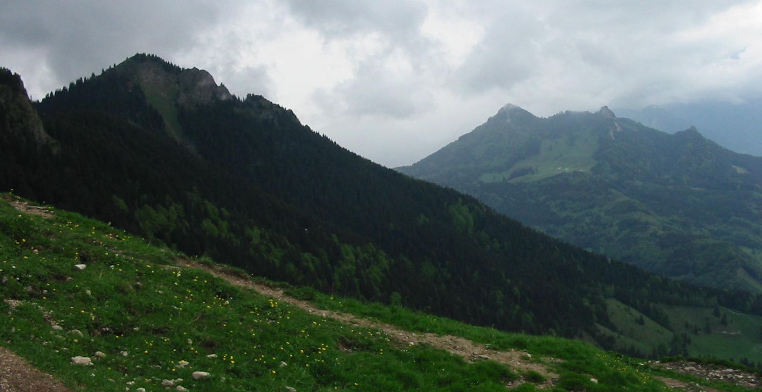
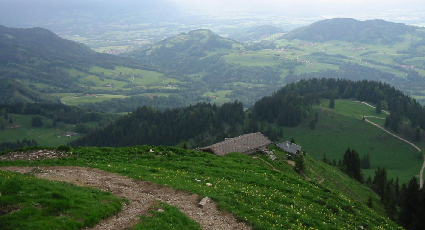
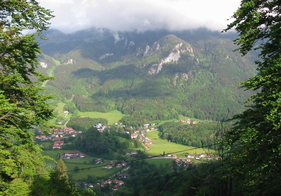
Photos
Important stuff
- If you want to share a group ticket let me know!
- You should definitely check the weather!
- For my peace of mind, some conditions apply!