
Date
01/06/2008
Journey there
| Meet Hauptbahnhof | 09:15 | (Meet under departure board, platforms 25-26) |
| Dep. Hauptbahnhof | 09:32 | |
| Arr. Murnau | 10:29 | |
| Dep. Murnau | 10:32 | platform 1A |
| Arr. Oberammergau | 11:20 |
Hike start point
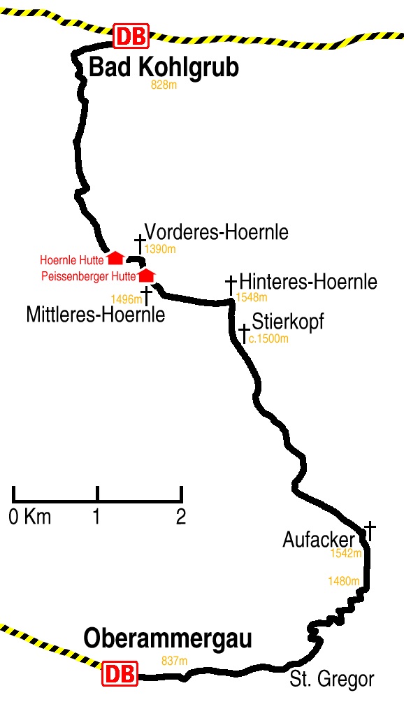
Hike map
Hike map in other formats

![]()
Hike description
- From Oberammergau Bahnhof (837m), 2km east across the town to St Gregor, following the stream.
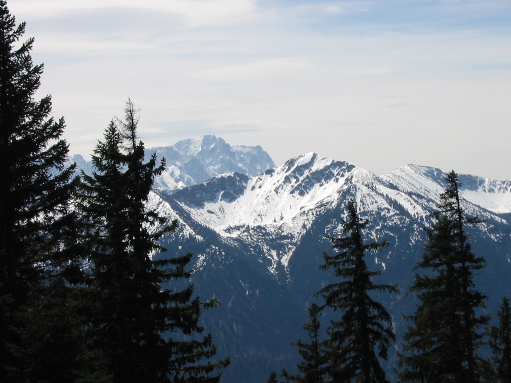
- Then north-east for 3km up the forest path to the top of Aufacker (1542m) with excellent views towards Garmisch.
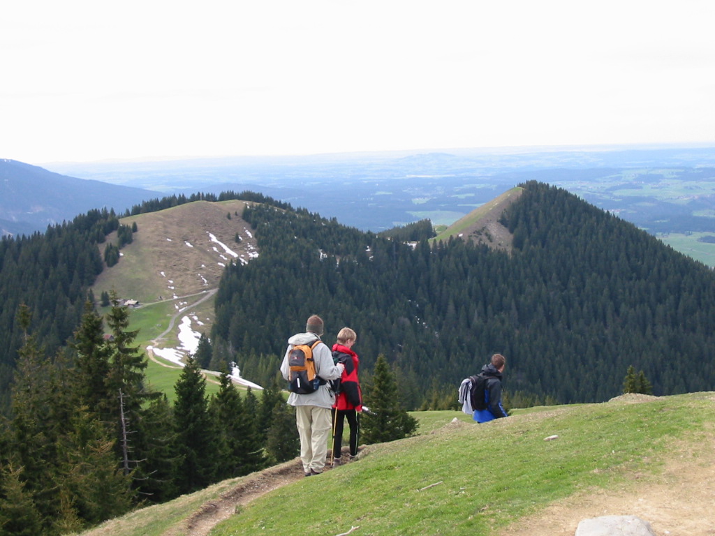
- Then, with the Stierkopf and Hörnle peaks in front, descend a couple of hundred metres, going north-west for 1km to the rather boggy Rehbreinmoos (1357m).
- Then back up a couple of hundred metres to Stierkopf.
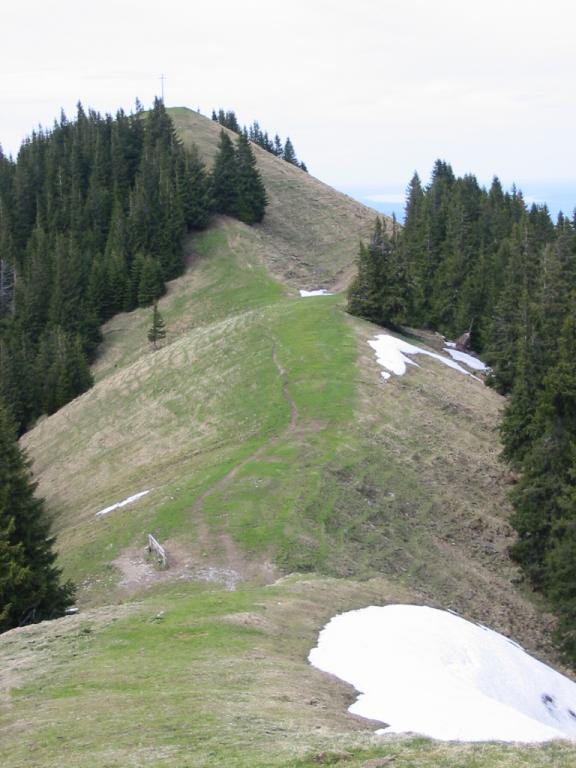
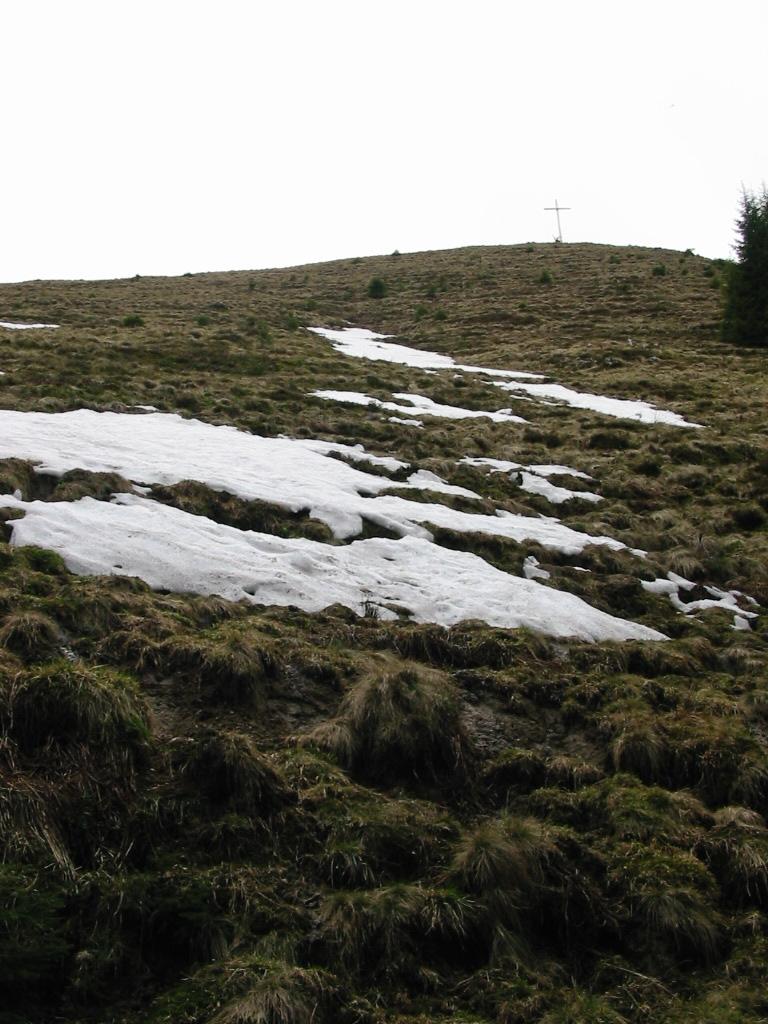
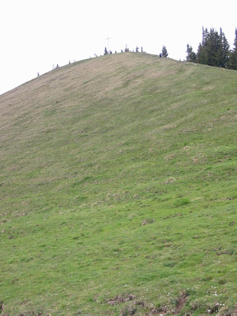
- Then across a short ridge to the Hinteres Hörnle (1548m) from where the Mitteres- and Vorderes- Hörnle are visible.
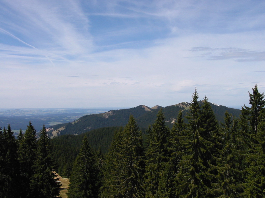
- Then north-east along another ridge for 2km, either going over the top of the Mitteres Hörnle (1496m) and the Vorderes Hörnle (1390m) or taking the level paths around their east sides.
- Finally, descending along either one of the two paths close to the lift for 4km into Bad Kohlgrub (828m)
Hike end point
Afterwards
Excellent food in the Ludwig Stube in Bad Kohlgrub! (Please try to make it for the meal – it’s the best part of the day!)
Journey back
| Dep. Bad Kohlgrub | 18:02 | 19:02 | 20:02 | 21:02 | 22:02 | 23:02 |
| Arr. Murnau | 18:20 | 19:20 | 20:20 | 21:20 | 22:20 | 23:21 |
| Dep. Murnau | 18:30 | 19:30 | 20:30 | 21:30 | 22:30 | 23:30 |
| Arr. Hauptbahnhof | 19:27 | 20:27 | 21:27 | 22:26 | 23:26 | 00:27 |
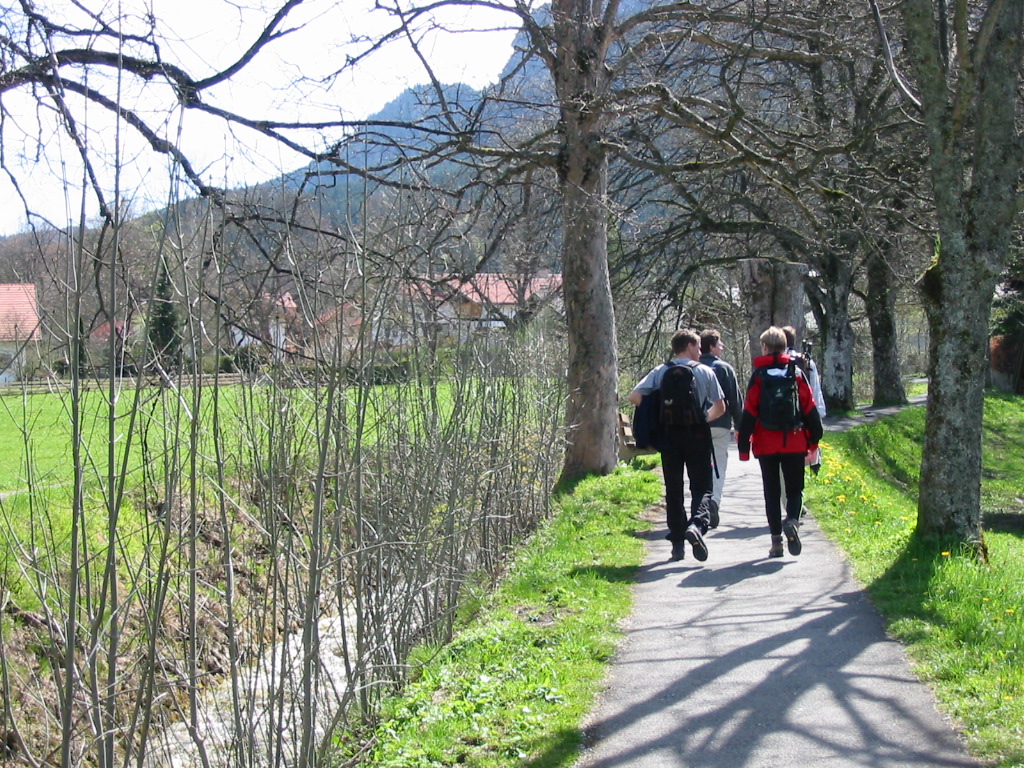
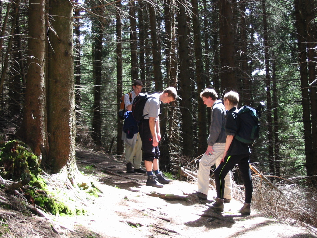
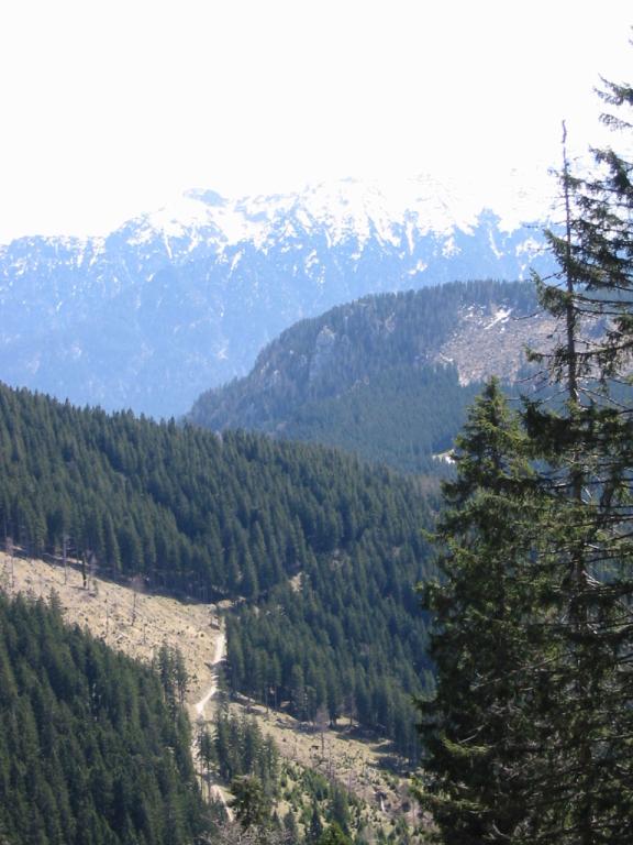
Photos
Important stuff
- If you want to share a group ticket let me know!
- You should definitely check the weather!
- For my peace of mind, some conditions apply!