
Date
13/07/2003
Journey there
| Dep. Maierleibnitzstr | 08:12 | (Meet at bus-stop or on bus 293) |
| Arr. Hauptbahnhof | 09:00 | (Meet under departure board, platforms 25-26) |
| Dep. Hauptbahnhof | 09:33 | |
| Arr. Fischbachau | 10:42 |
Hike start point
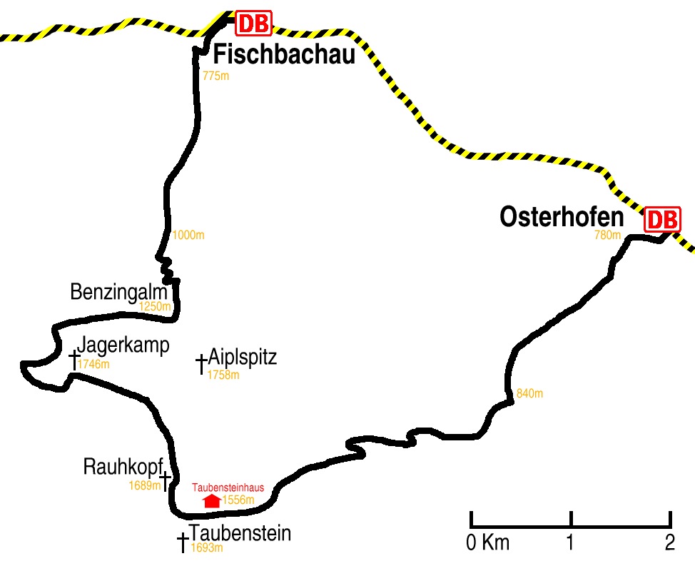
Hike map
Hike map in other formats
![]()
Hike description
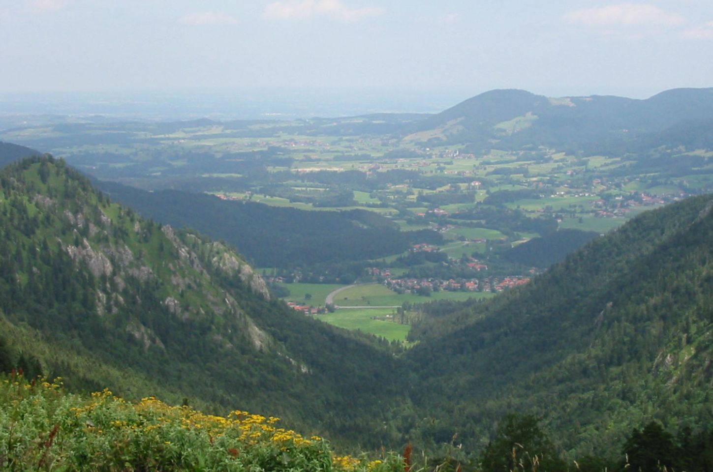
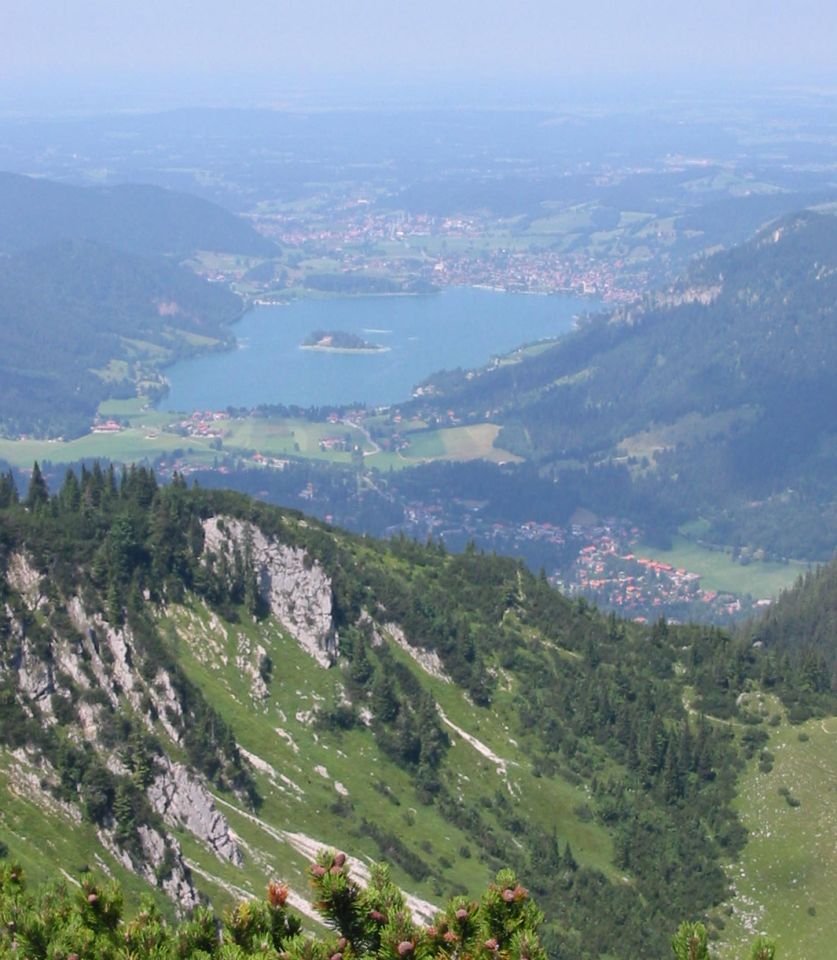
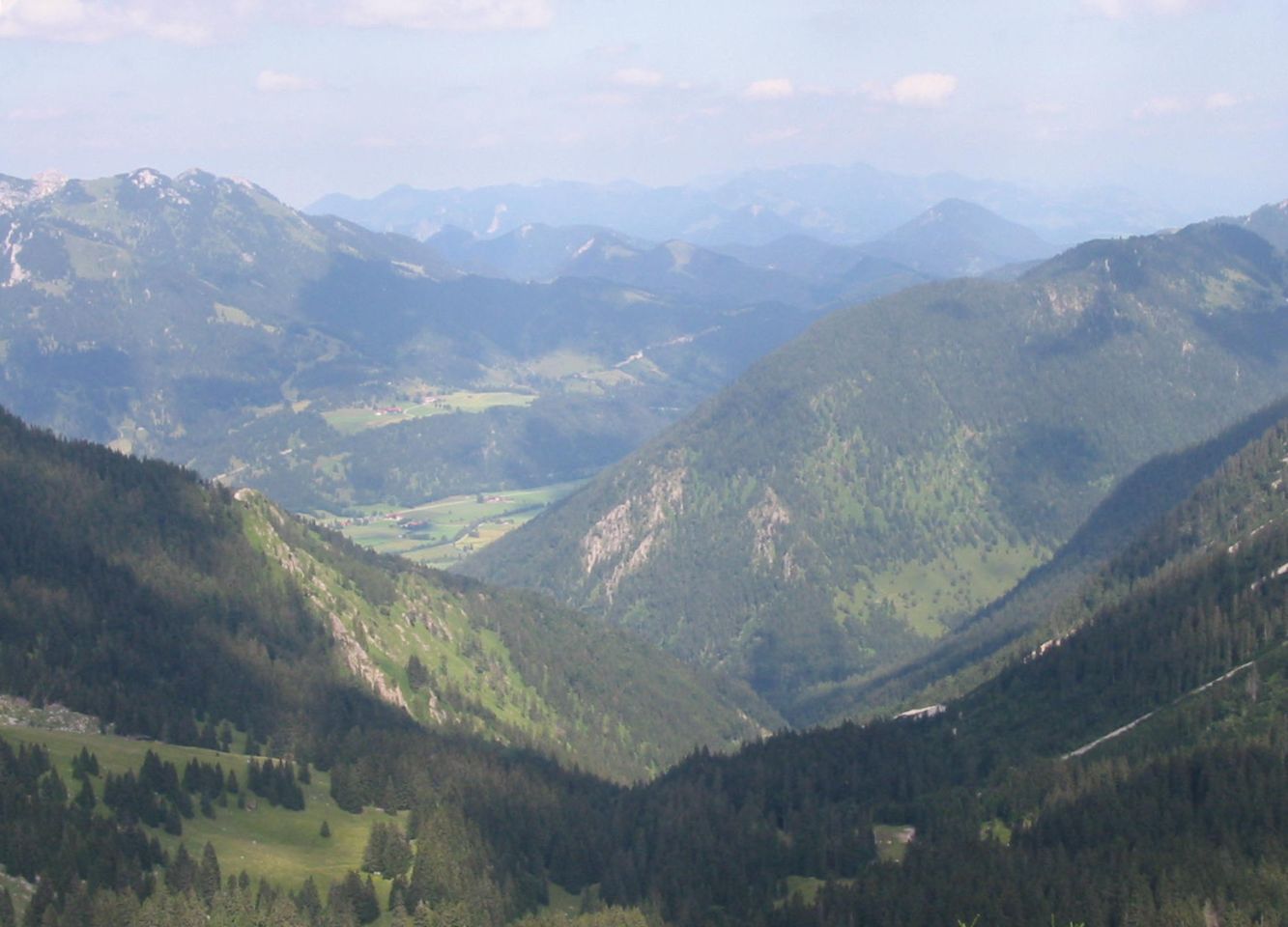
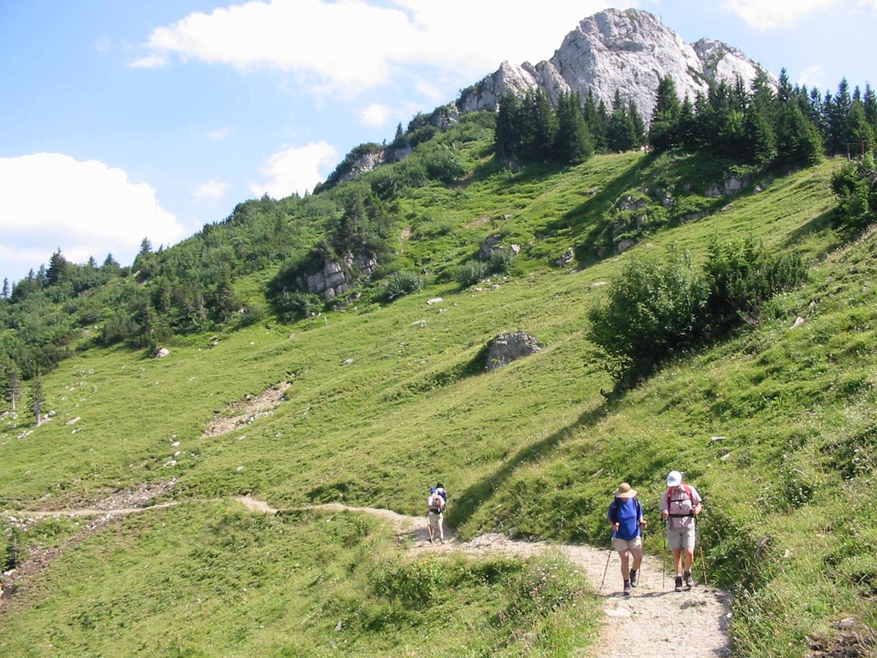
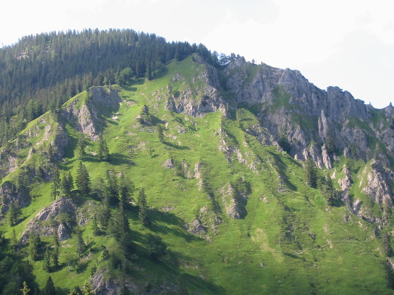
- From Fischbachau (775m) 4Km south going up the Aurachtal forest path to Benzingalm (c.1450m).
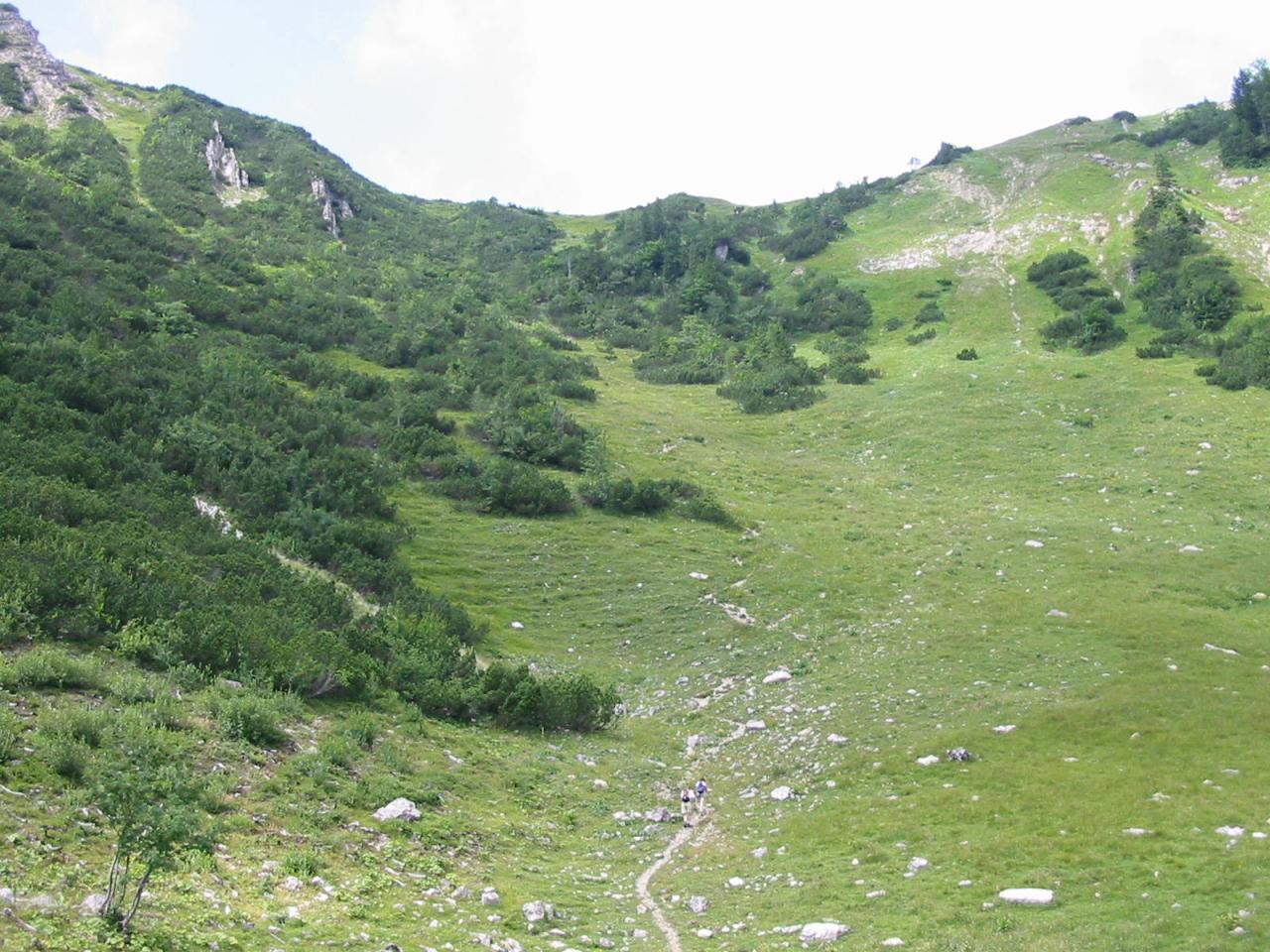
- Follow the path up the back of Benzingalm for 600m, up to the ridge (c.1600m) between Benzingalm and Jägerbaueralm.
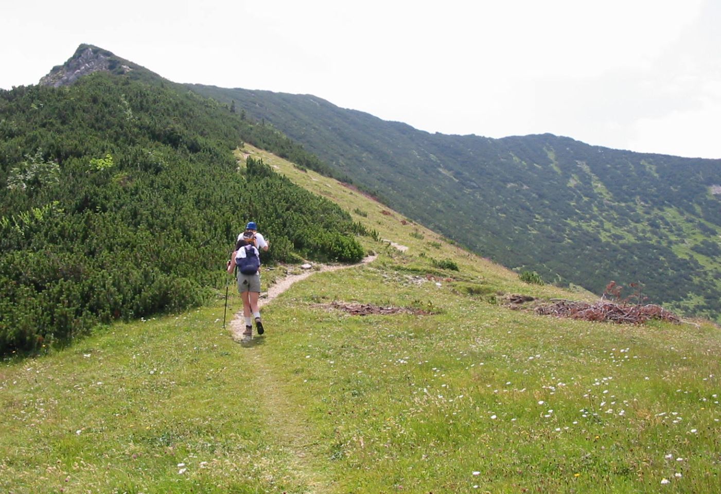
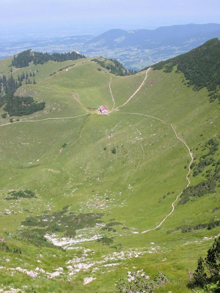
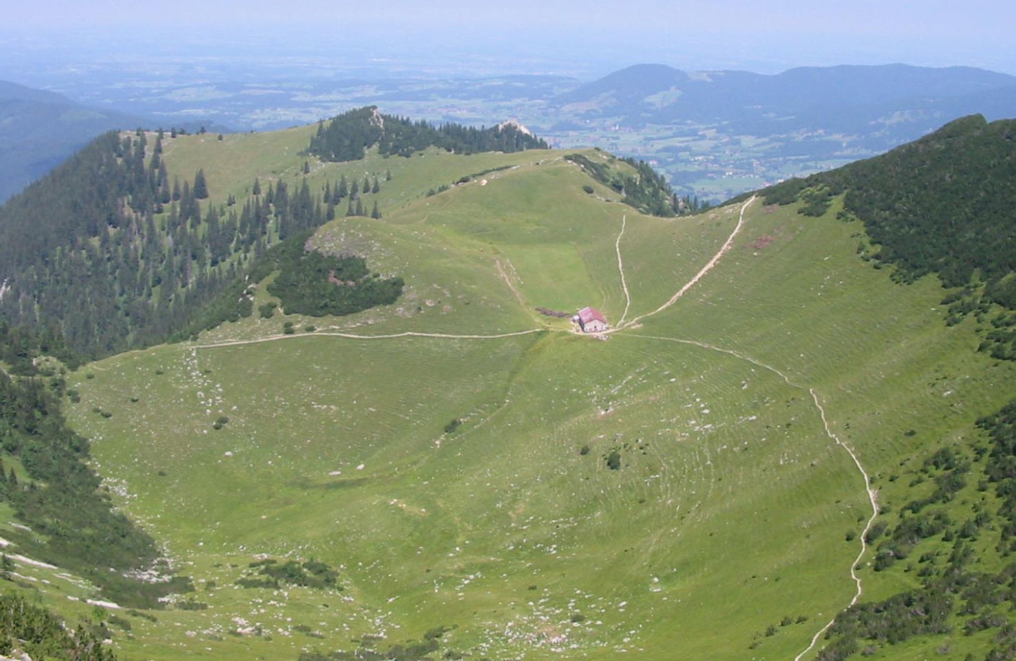
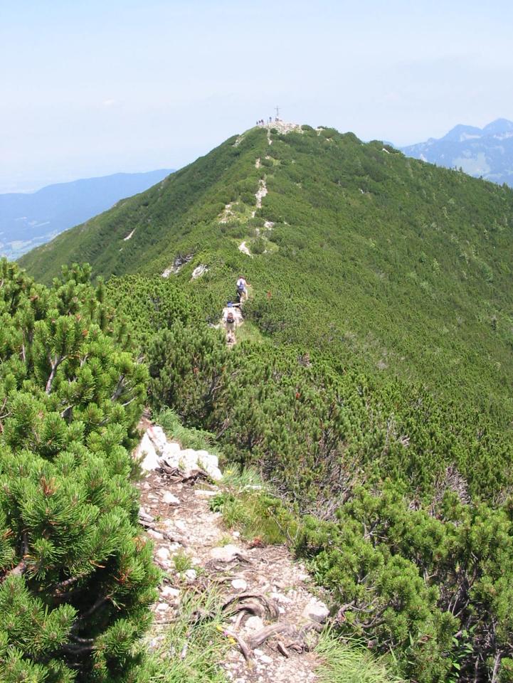
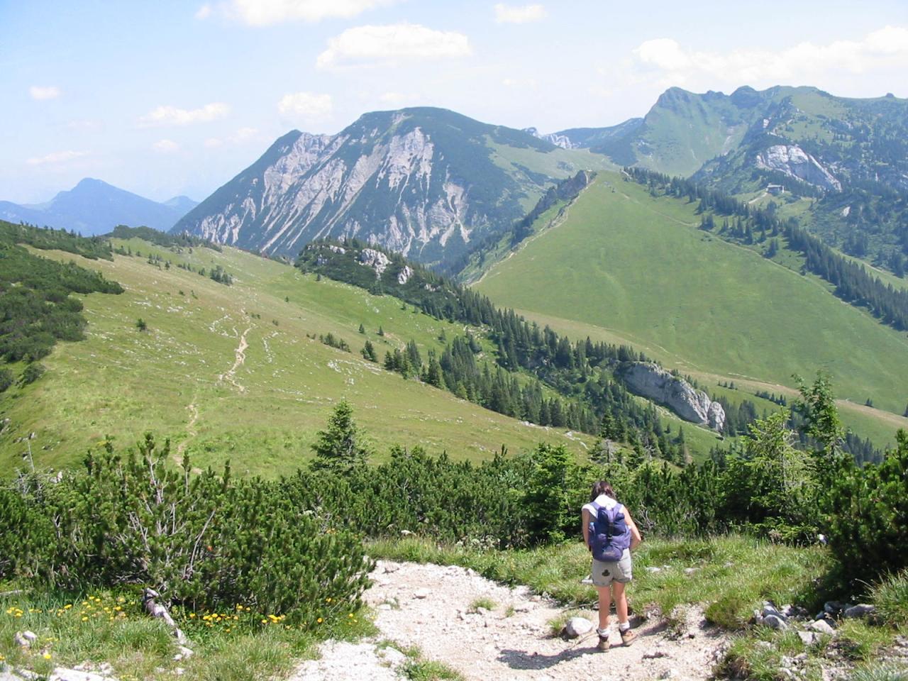
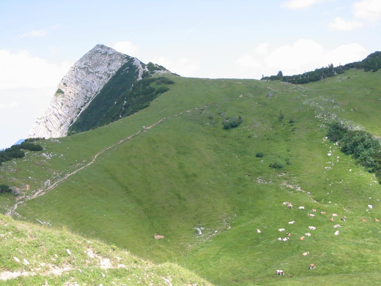
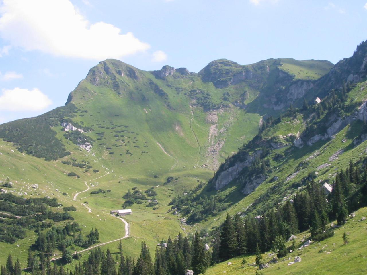
- Then for 2 Km, follow the south-westerly path (not the Nord Grad path directly up Jägerkamp) under Jägerkamp and then double back south and then east along the Lochgrabenschneid ridge to Jägerkamp (1746m).
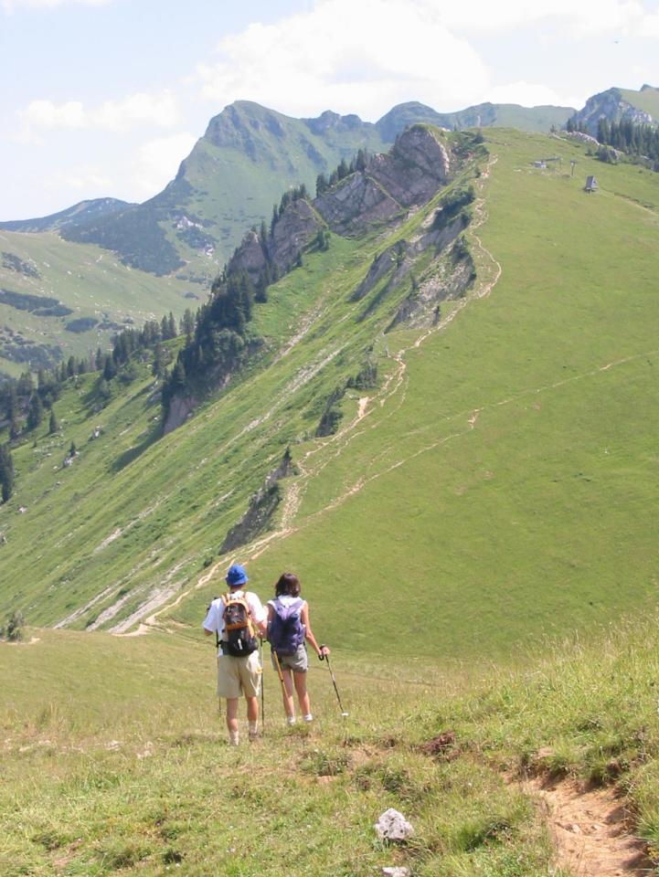
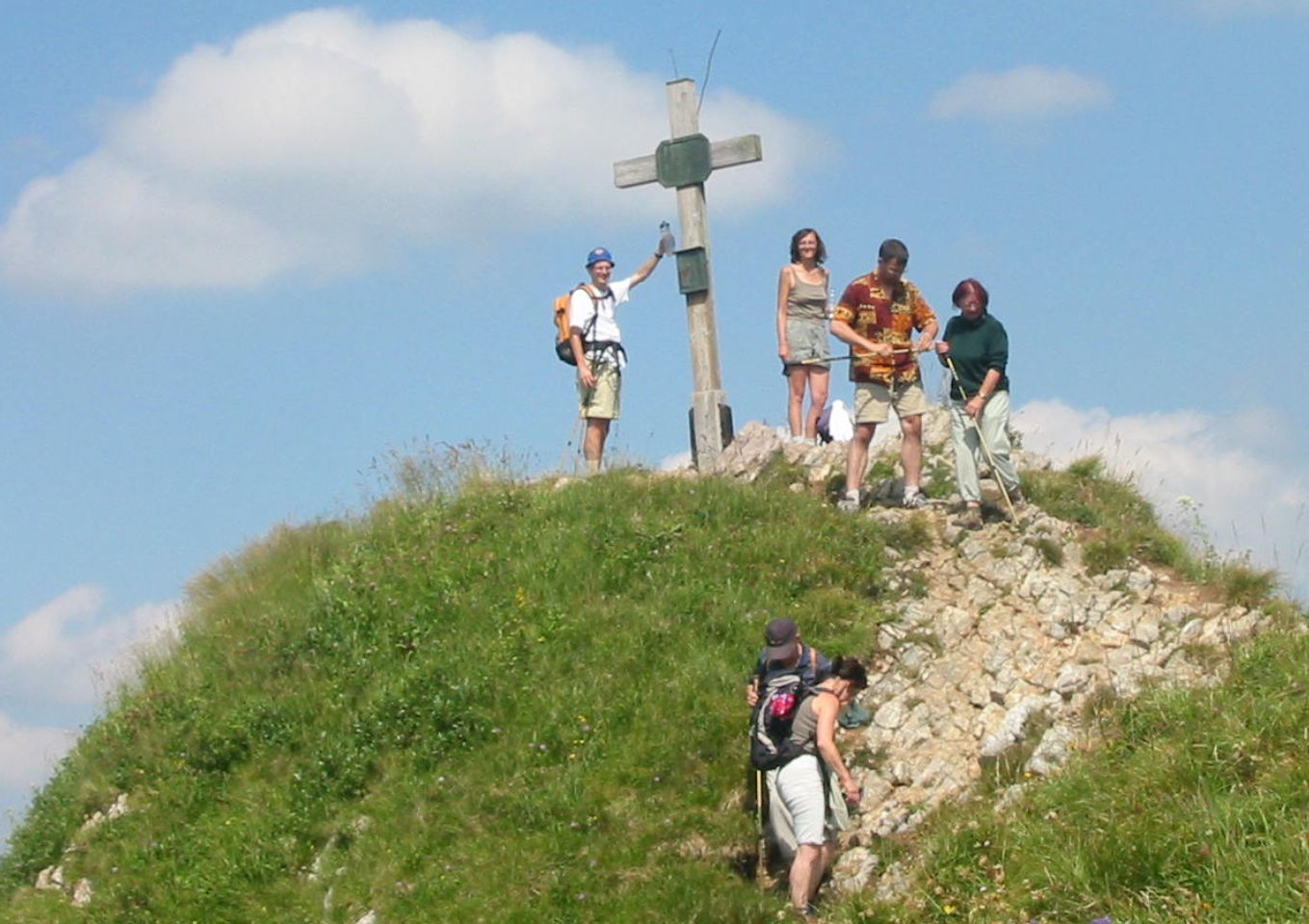
- Then head south-east for 2Km along the fairly level path to Rauhkopf (1689m) (not along the descending path to Schönfeldalm).
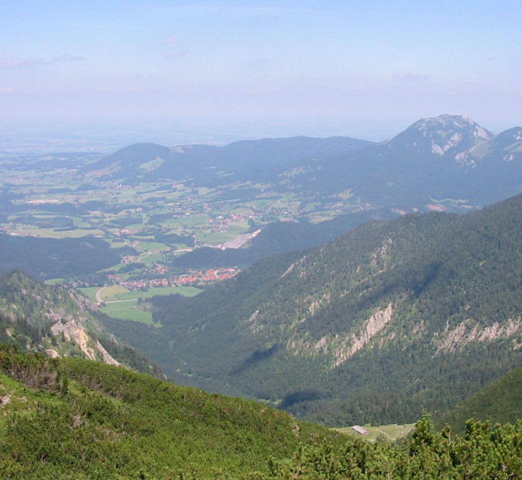
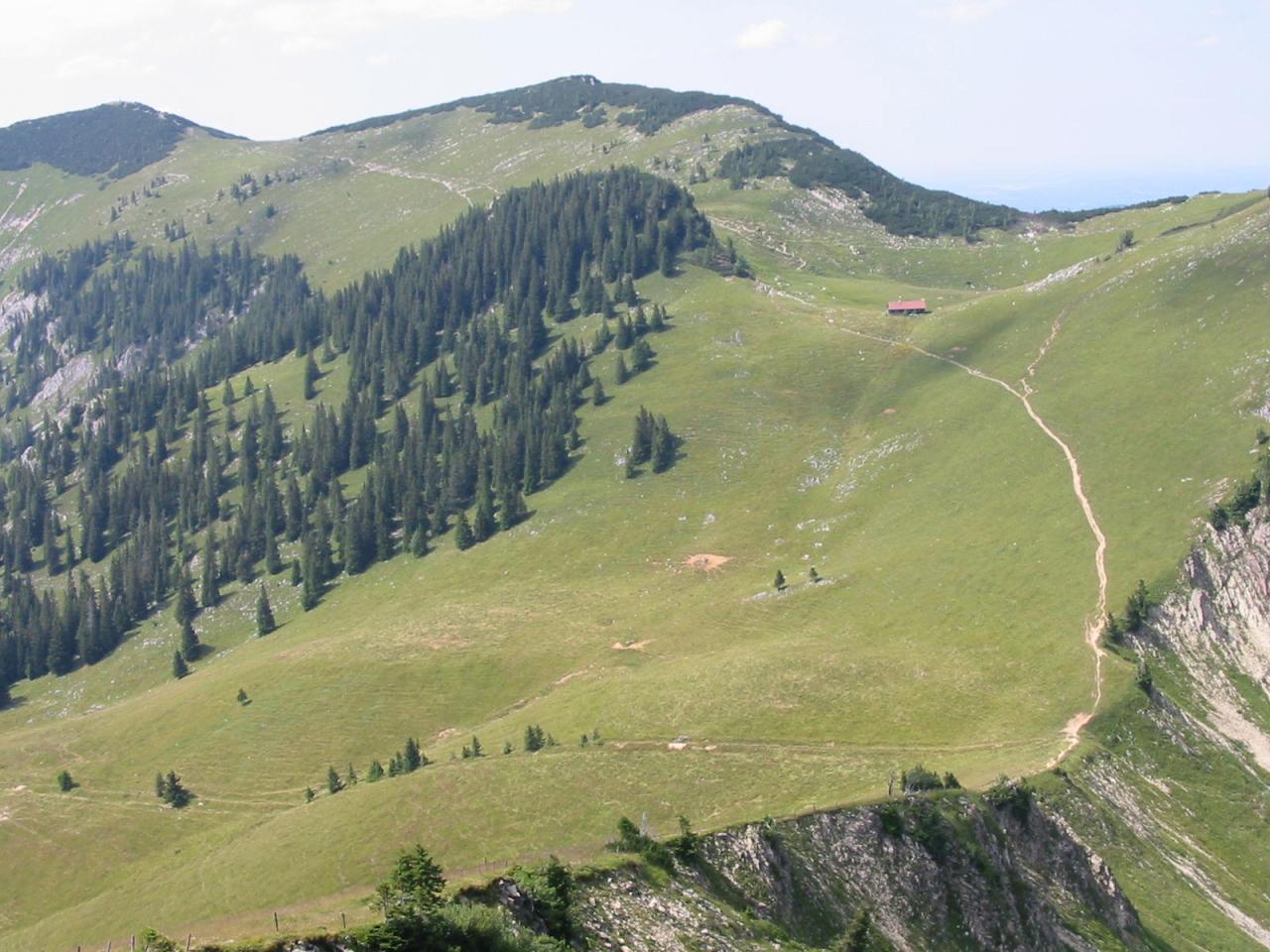
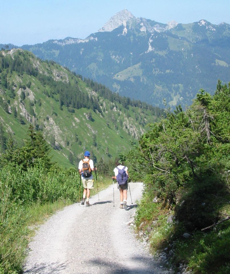
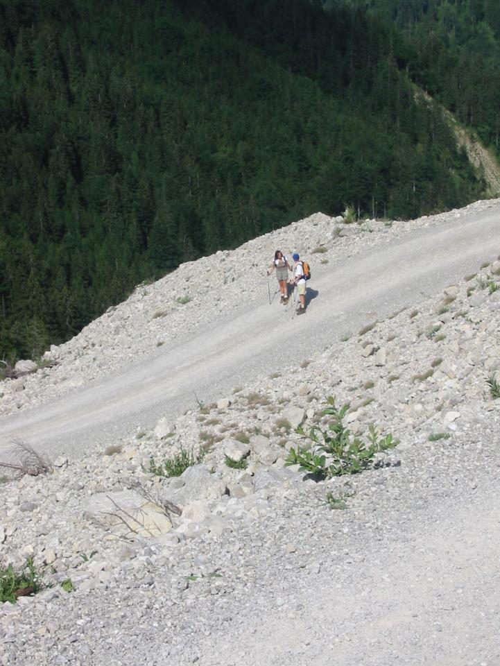
- Then descend rapidly over 1Km through woodland to the Taubenstein lift station (c.1600m).
- Then follow the gravel path north-east which descends over 8Km to Osterhofen (780m).
Hike end point
Afterwards
We’ll eat somewhere in Osterhofen. (Please try to make it for the meal – it’s the best part of the day!)
Journey back
| Dep. Osterhofen | 18:06 | 19:06 | 20:06 | 21:06 | 22:06 |
| Arr. Hauptbahnhof | 19:26 | 20:26 | 21:26 | 22:26 | 23:26 |
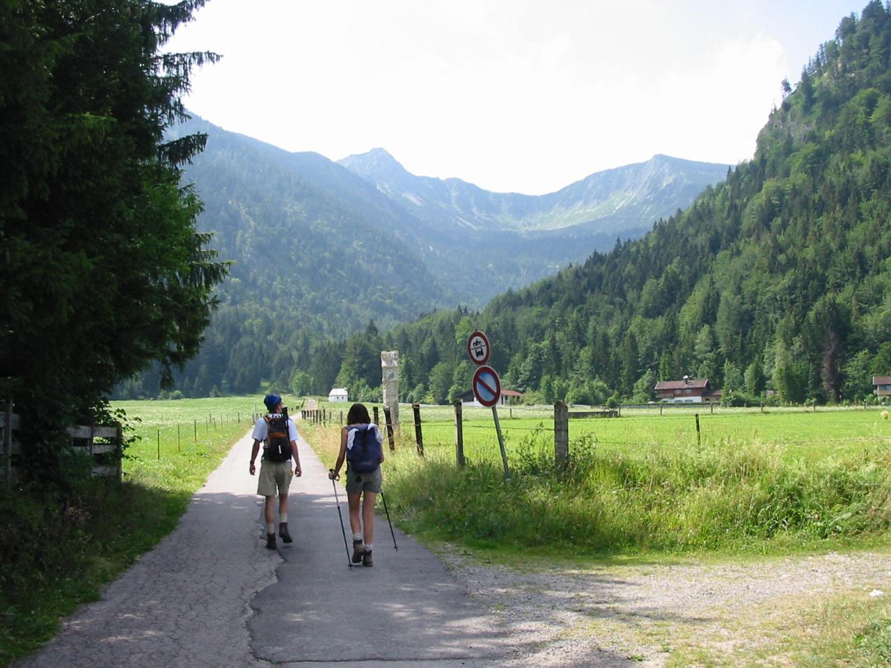
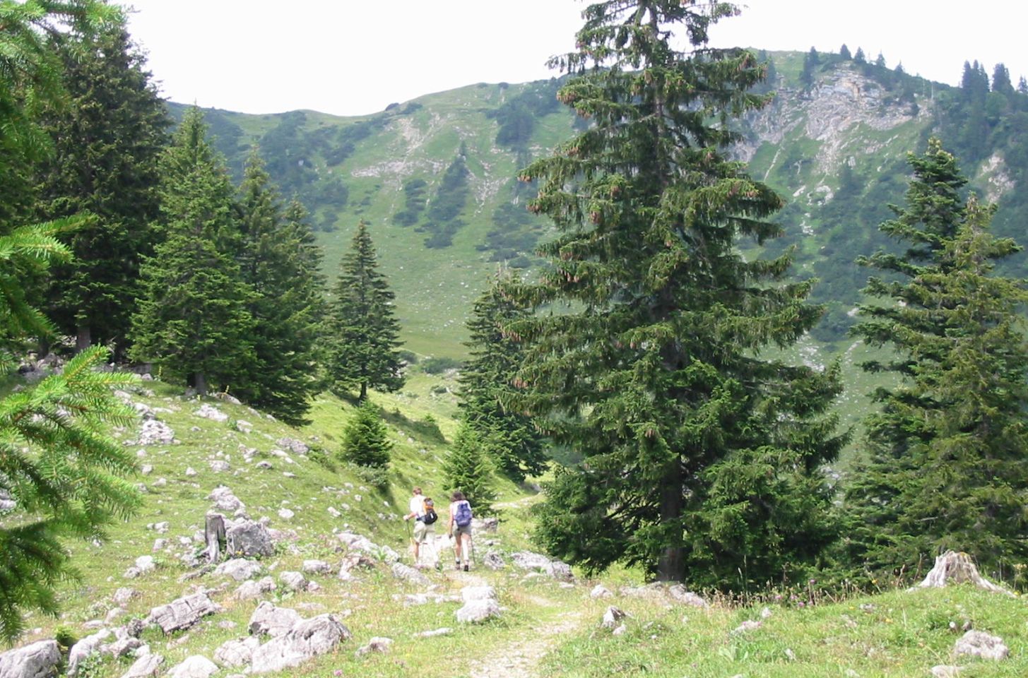
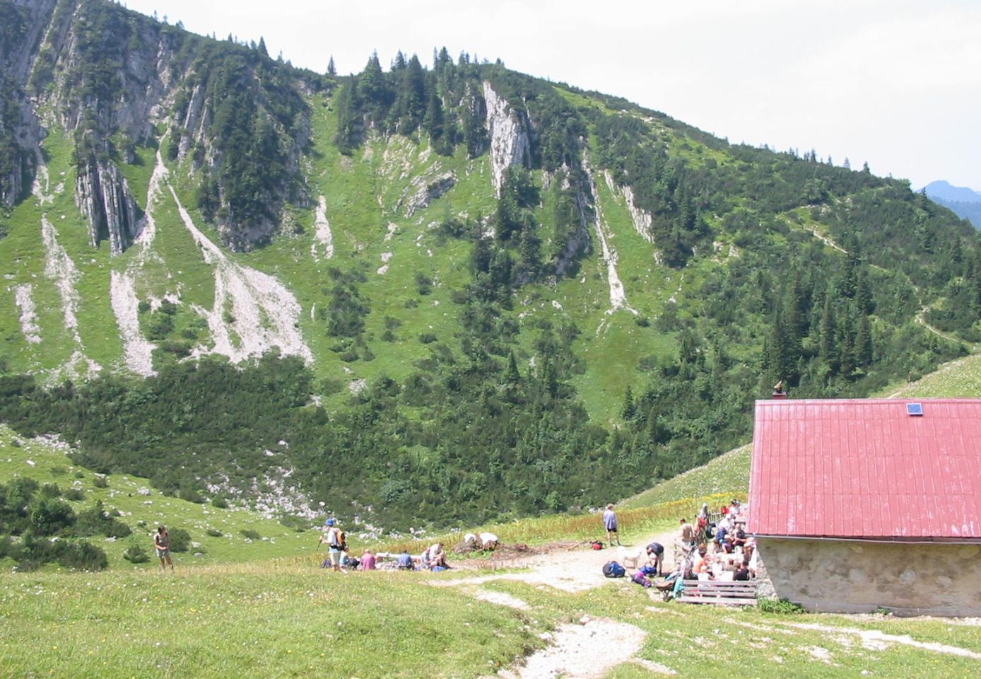
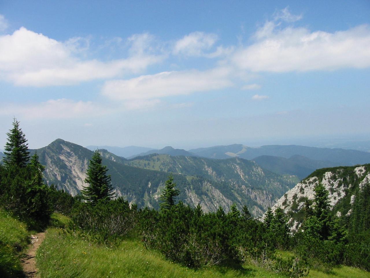
Photos
Important stuff
- If you want to share a group ticket let me know!
- You should definitely check the weather!
- For my peace of mind, some conditions apply!