
Date
08/06/2008
Journey there
| Dep. Hauptbahnhof | 09:32 | |
| Arr. Tutzing | 09:59 | |
| Dep. Tutzing | 10:05 | platform 1 Süd |
| Arr. Kochel | 10:36 |
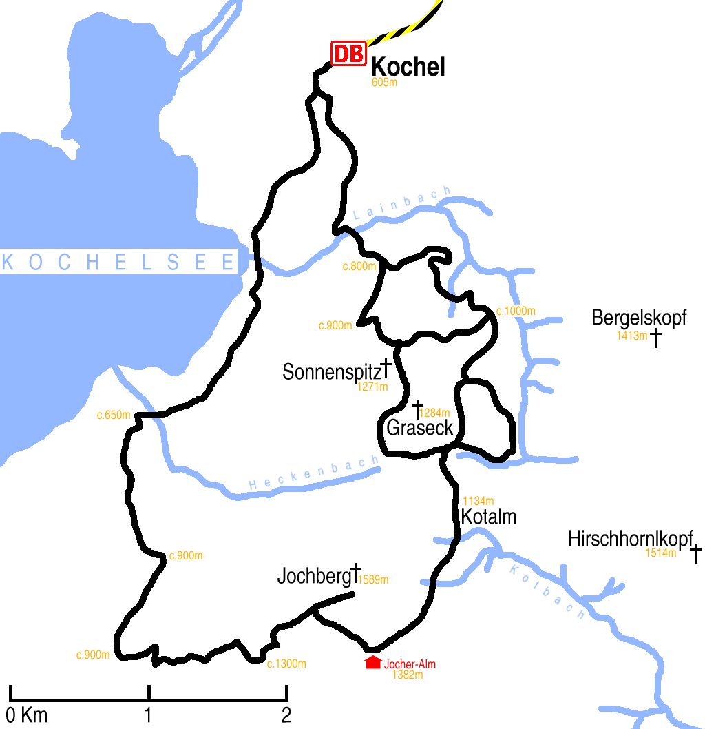
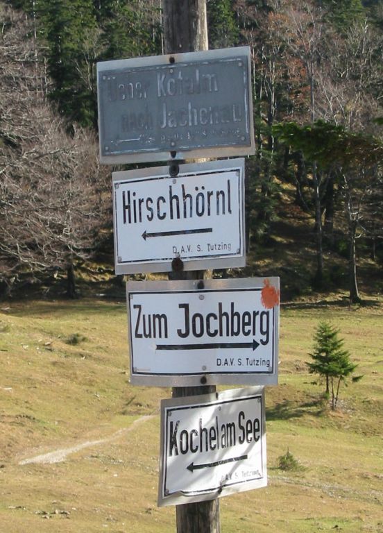
Hike start point
Hike map
Hike map in other formats
![]()
Hike description
- From Kochel Bahnhof (605m), follow the road south-west for 500m, round the corner to where it splits into three.
- Take the right fork that leads south around the back of Rothenburg for 1Km.
- Then follow the big KR or 452 paths for 6Km, or the smaller paths over Sonnenspitz and Graseck, to under Kaltwasserwand (c.1100m).
- Then turn south on the J01 and 451 paths for 4Km, via Kotalm to Jocher-Alm Hutte (1382m).
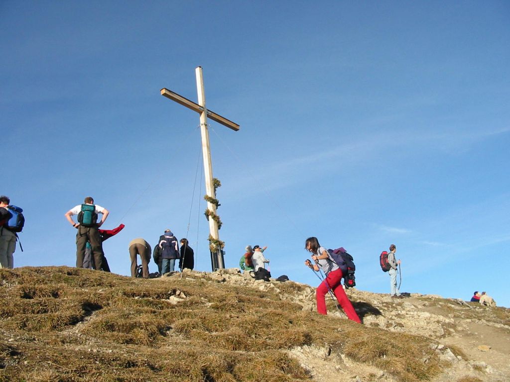
- Then head 1Km north-west to Jochberg Gipfel (1589m).
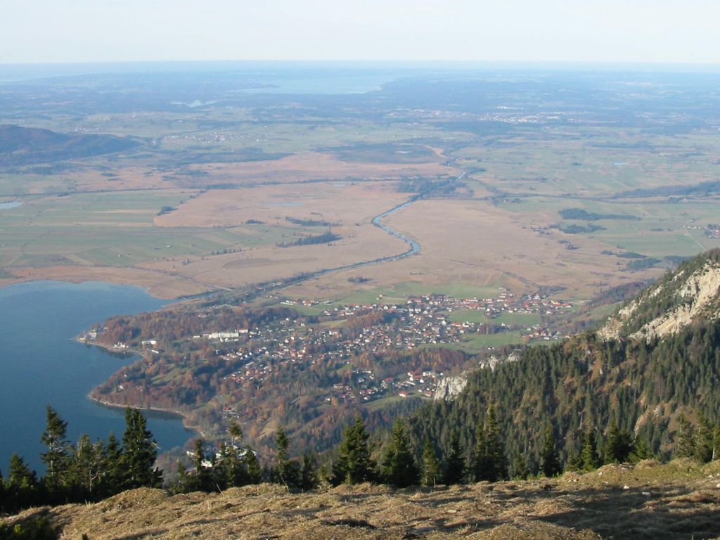
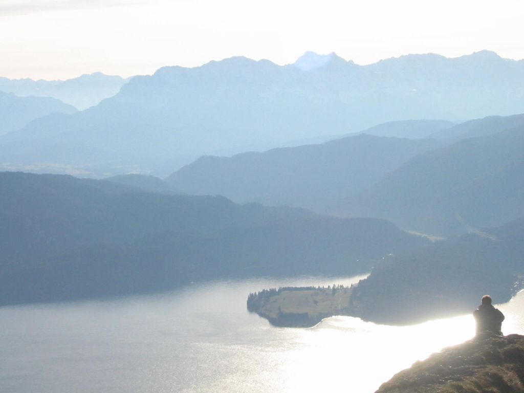
- Descent partly along the same 1Km route, but then turn right onto path 10 and descent 3Km to the road joining the two lakes (c.900m).
- Then follow the KW path, staying a little distance from the left side of the road, almost down to the lake (c.650m).
- Follow the path just above the lake for about 2Km north-east until the path reaches the Franz Marc Museum.
- Then take a path for 2Km to Kochel Bahnhof.
Hike end point
Afterwards
The Gasthof zur Post, two minutes from Kochel am See Bahnhof, is an excellent place to eat. (Please try to make it for the meal – it’s the best part of the day!)
Journey back
| Dep. Kochel | 18:13 | 19:13 | 20:13 | 21:13 | 22:13 | 23:13 |
| Arr. Tutzing | 18:52 | 19:52 | 20:52 | 21:52 | 22:52 | 23:52 |
| Dep. Tutzing | 19:00 | 20:00 | 21:00 | 22:00 | 23:00 | 00:00 |
| Arr. Hauptbahnhof | 19:27 | 20:27 | 21:27 | 22:26 | 23:26 | 00:27 |
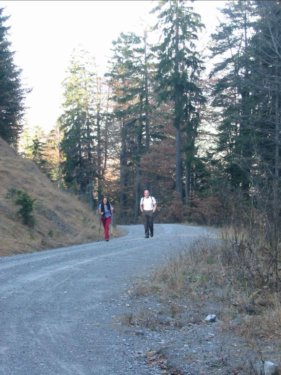
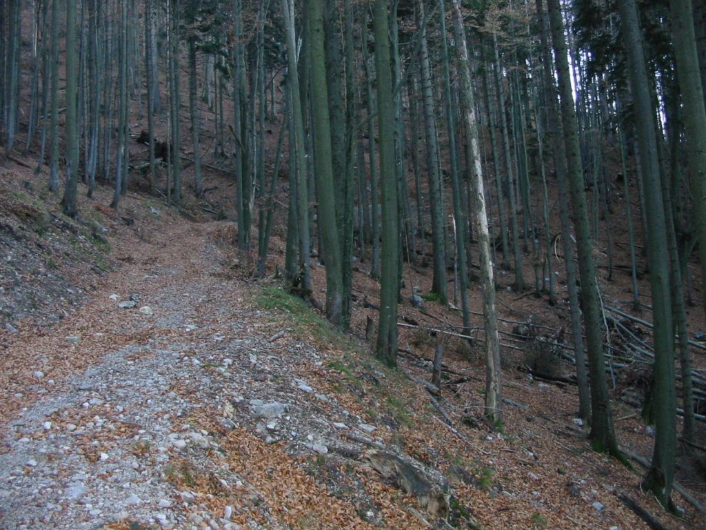
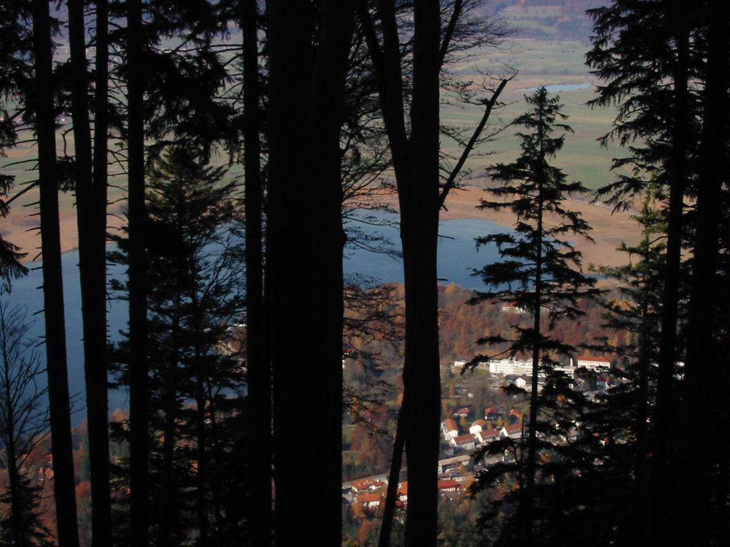
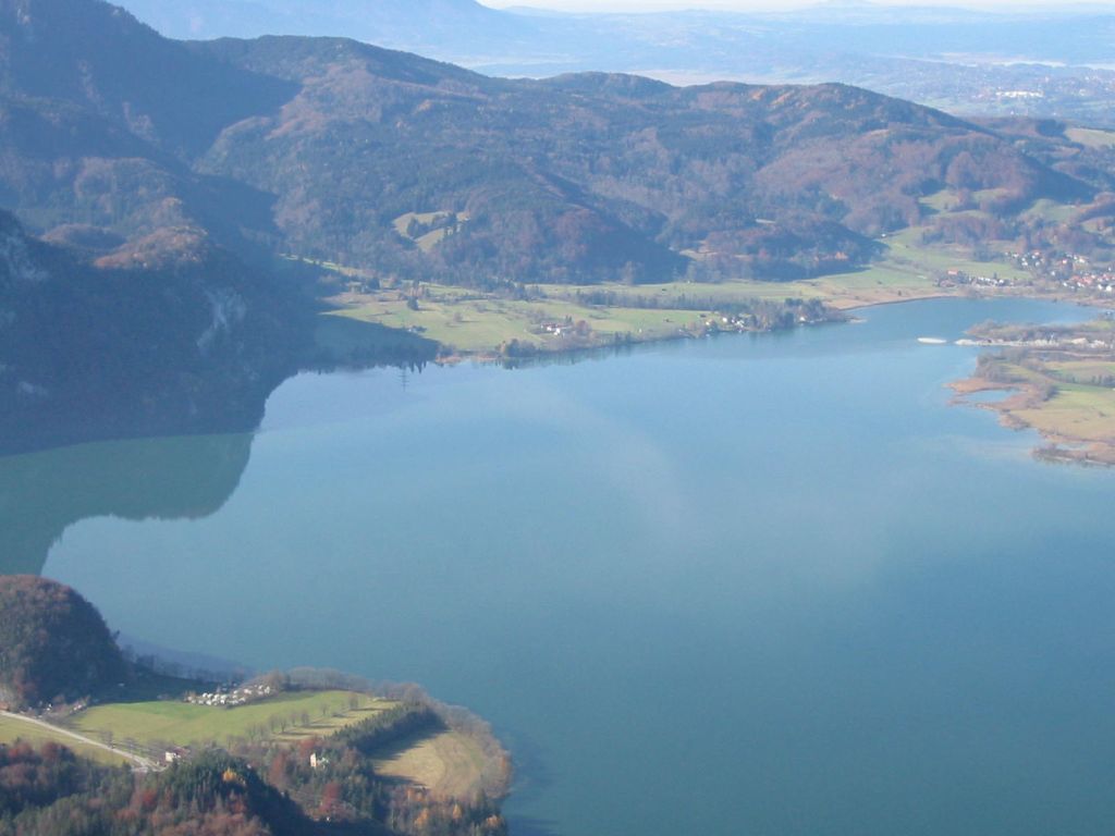
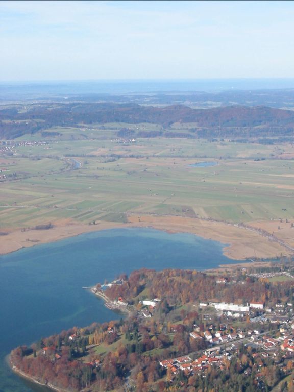
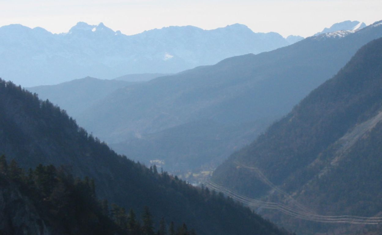
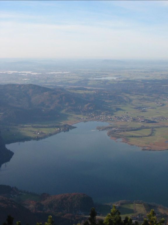
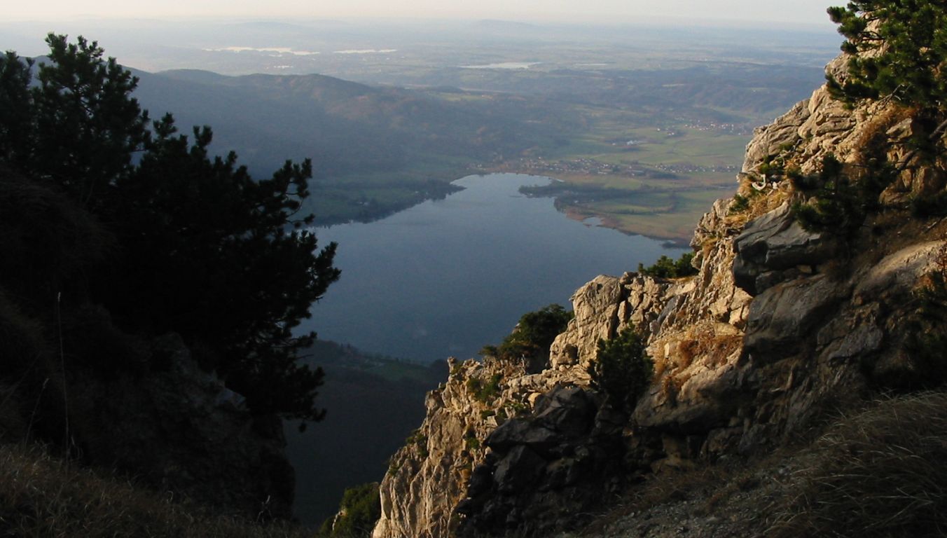
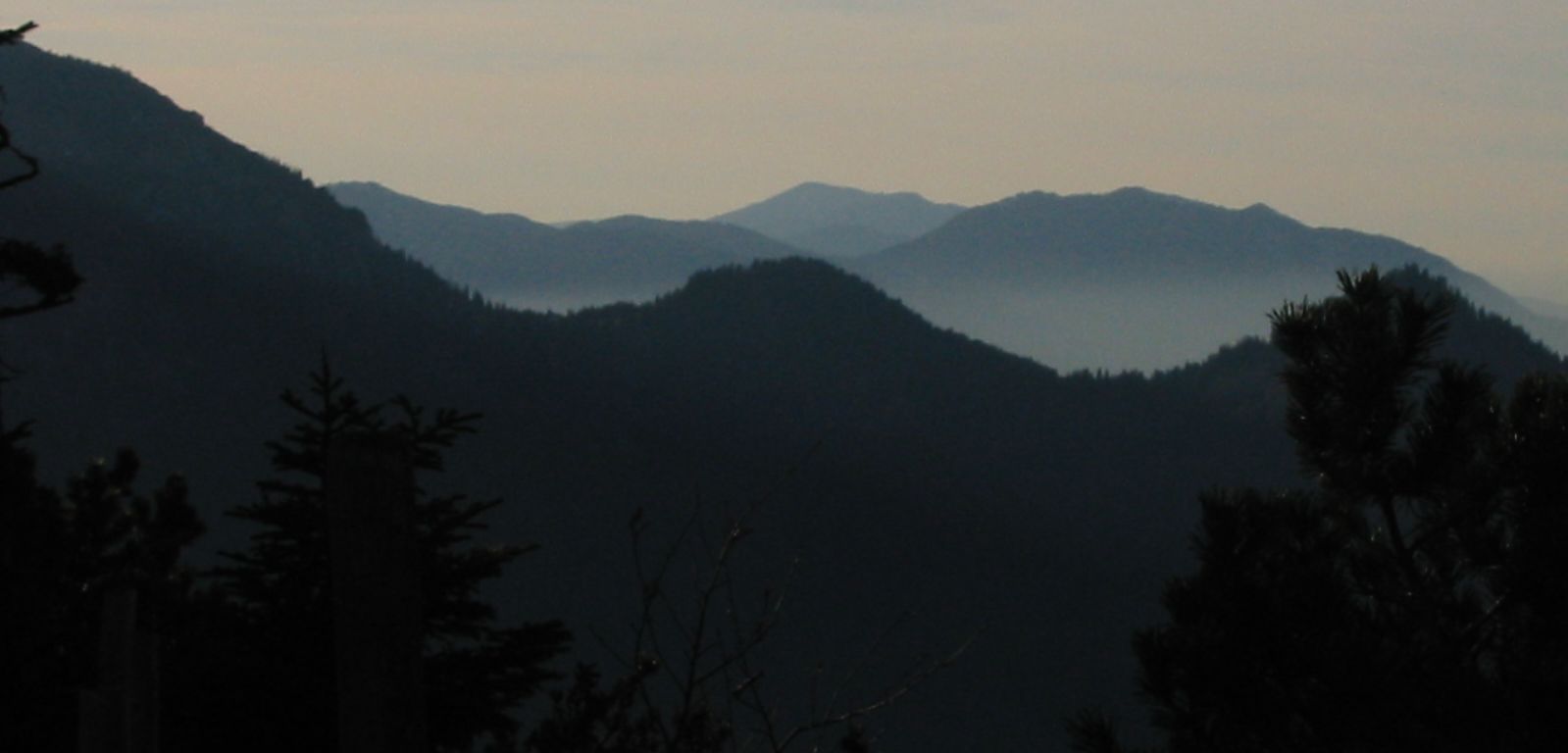
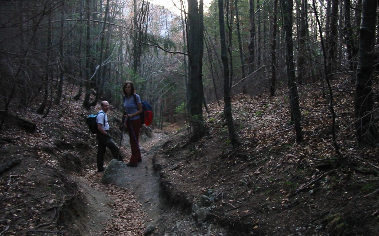
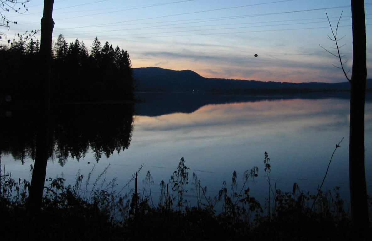
Photos
Important stuff
- If you want to share a group ticket let me know!
- You should definitely check the weather!
- For my peace of mind, some conditions apply!