
Date
12.10.2024
Journey there
| Meet Hauptbahnhof | 09:00 | meet at the near end of platform from which the train departs |
| Dep. Hauptbahnhof | 09:13 | |
| Arr. Klais | 10:39 |
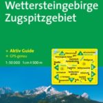
Hike map
Hike map in other formats
![]()
Afterwards
We’ll eat somewhere in Mittenwald; there are several possibilities on Obermarkt, 400m WNW from the train station. (Please try to make it for the meal – it’s the best part of the day!)
Journey back
| Dep. Mittenwald | 16:34 | 17:04 | 18:04 | 19:04 | 19:36 | 20:36 | 21:36 | 22:36 |
| Arr. Garmisch | 16:56 | 19:57 | 20:57 | 21:57 | 22:57 | |||
| Dep. Garmisch | 17:05 | 20:05 | 21:06 | 22:06 | 23:07 | |||
| Arr. Hauptbahnhof | 18:26 | 17:48 | 19:48 | 20:49 | 21:26 | 22:26 | 23:26 | 00:26 |
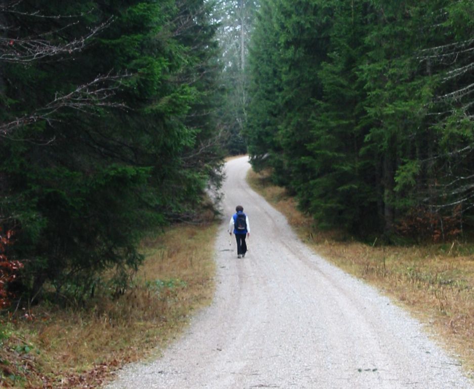
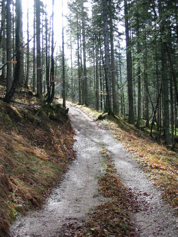
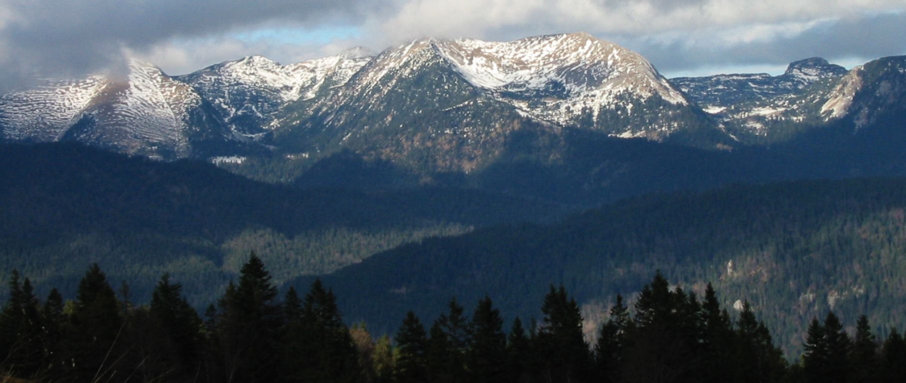
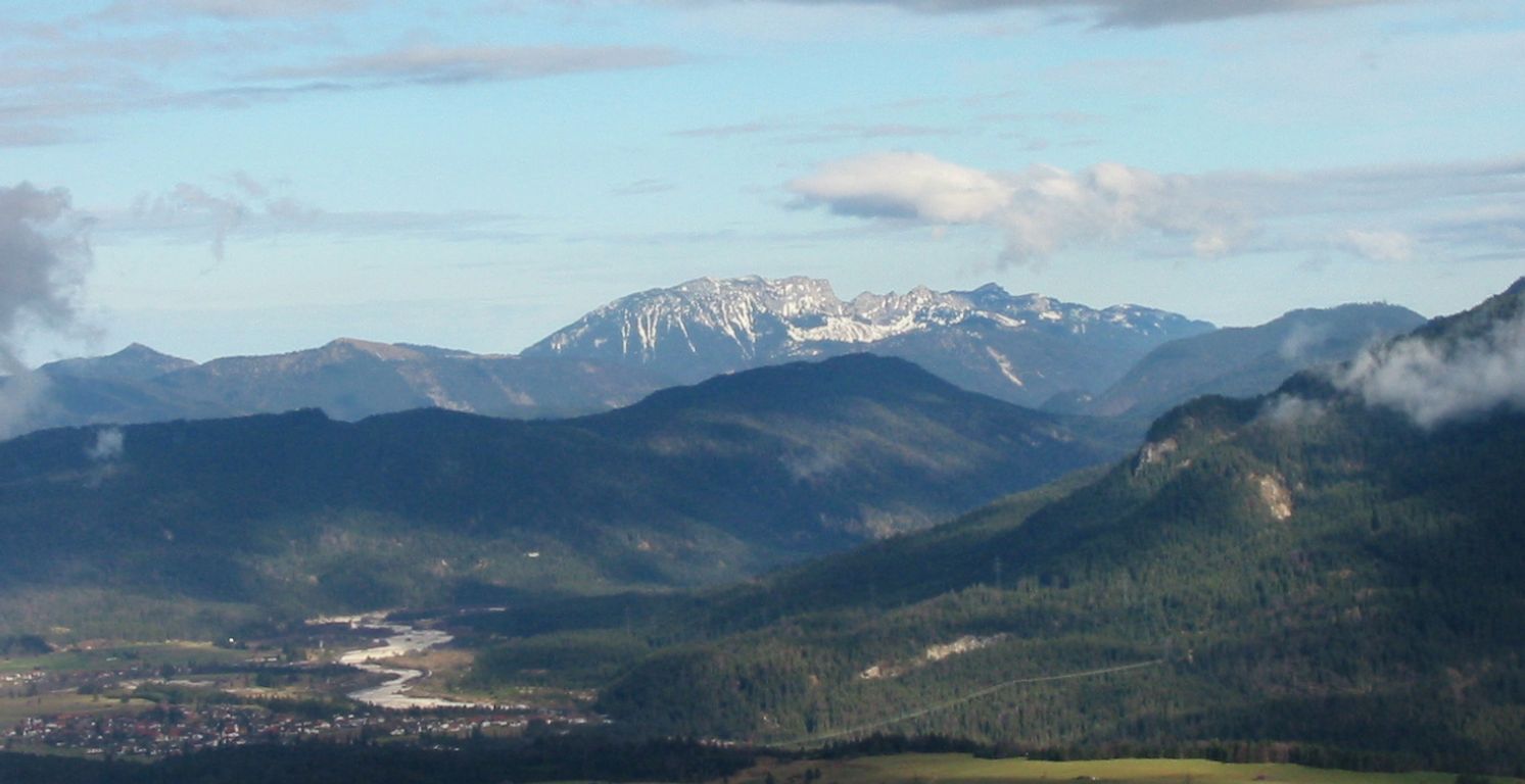
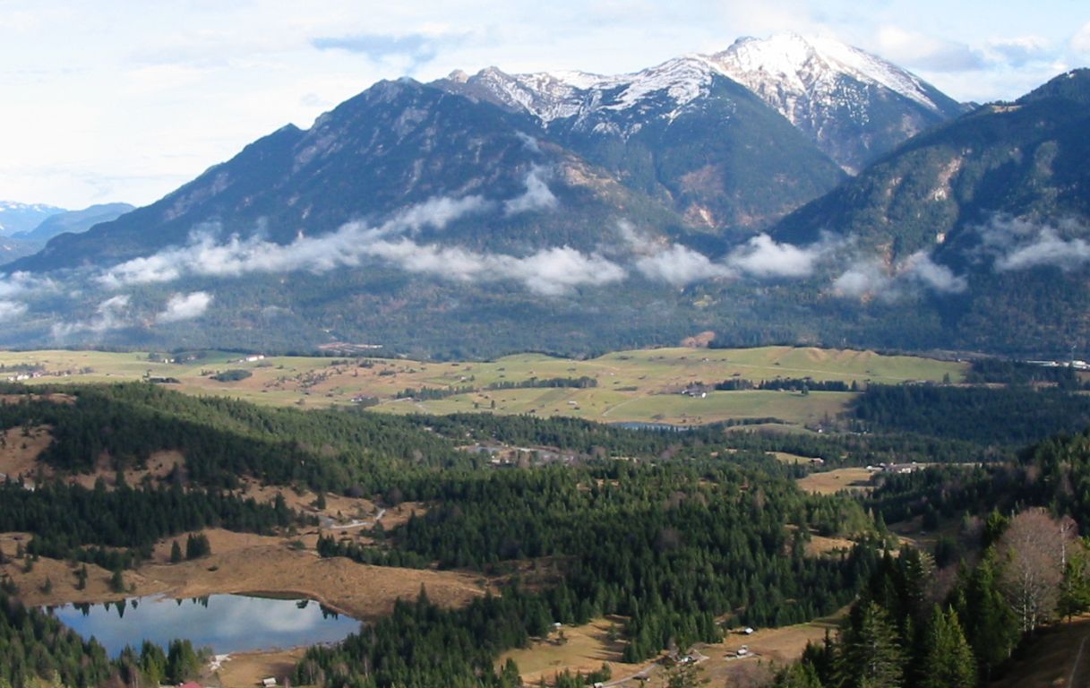
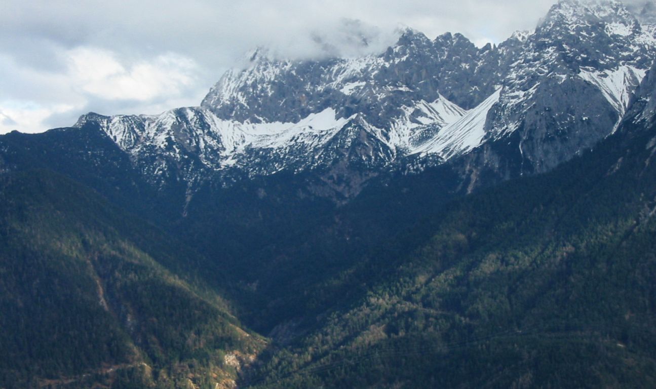
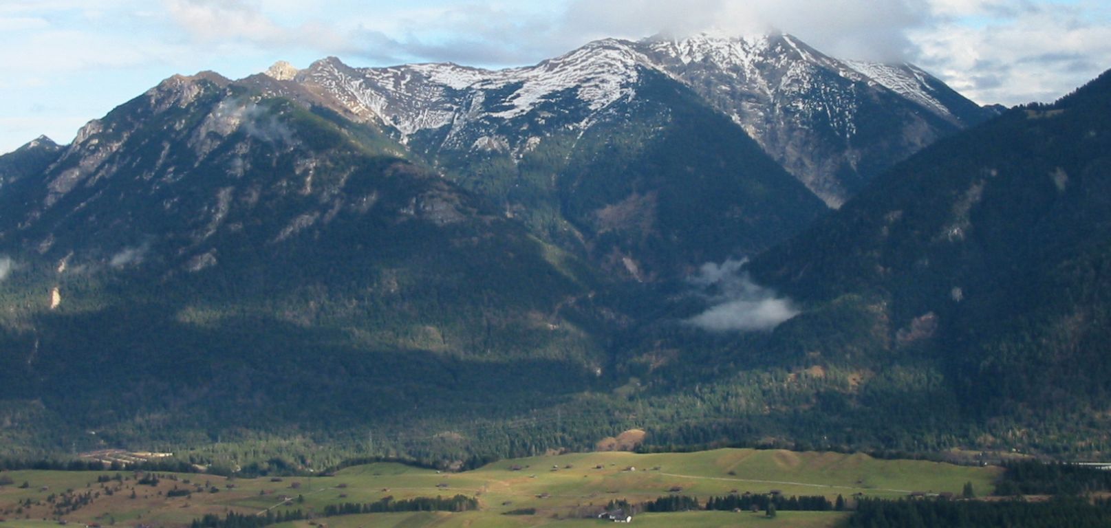
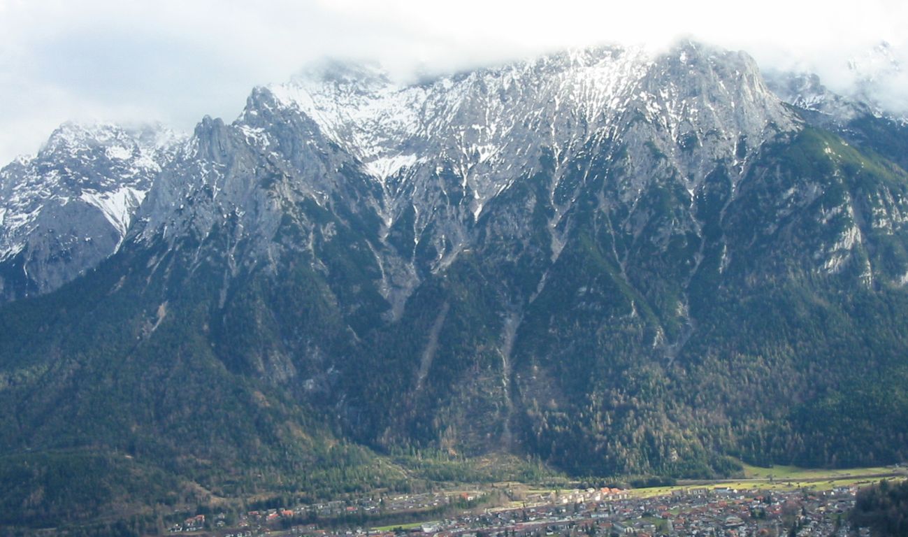
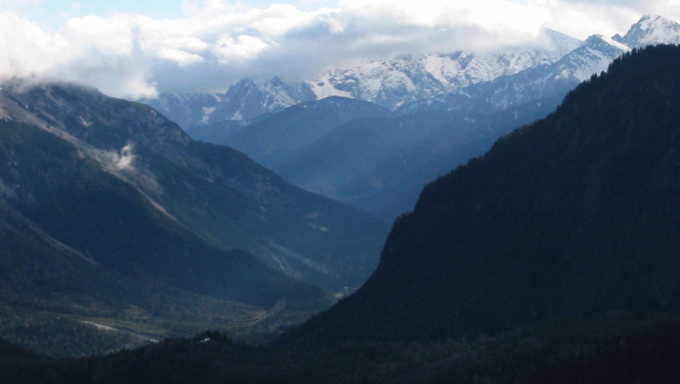
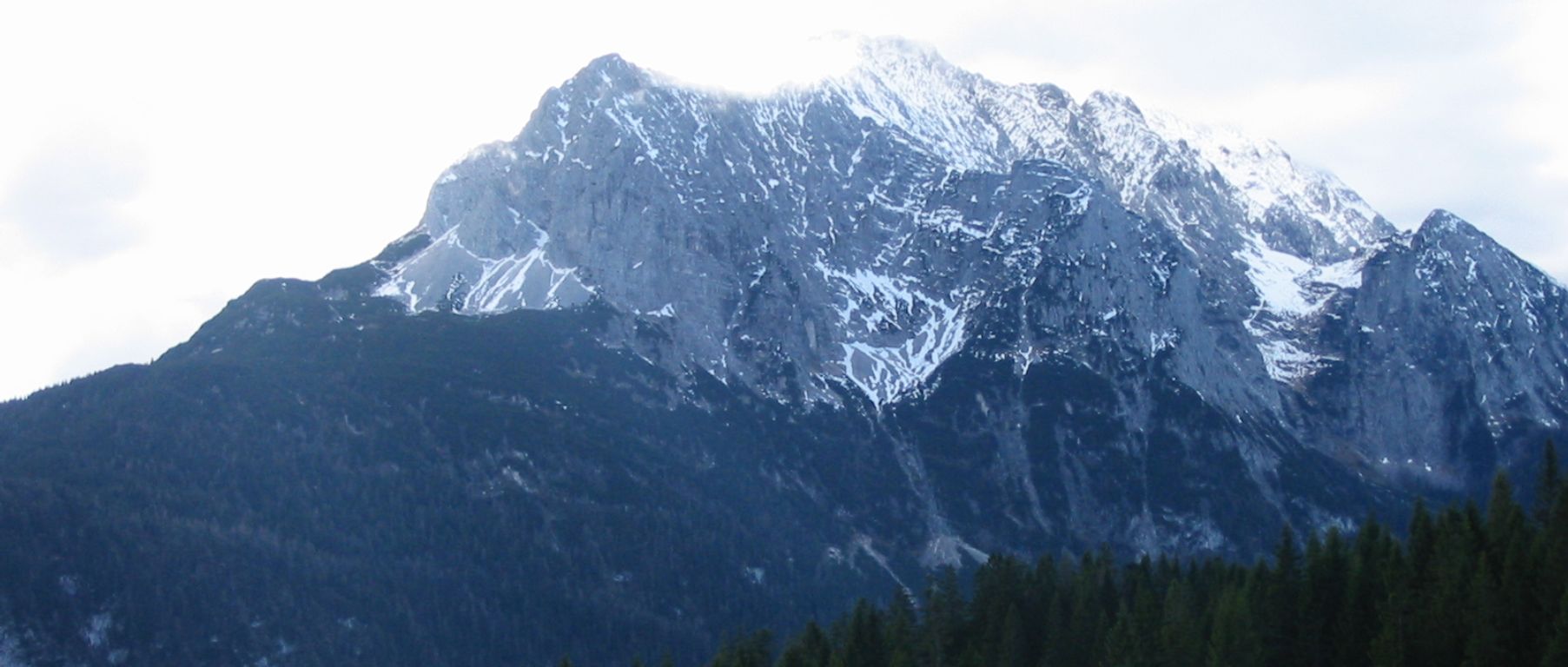
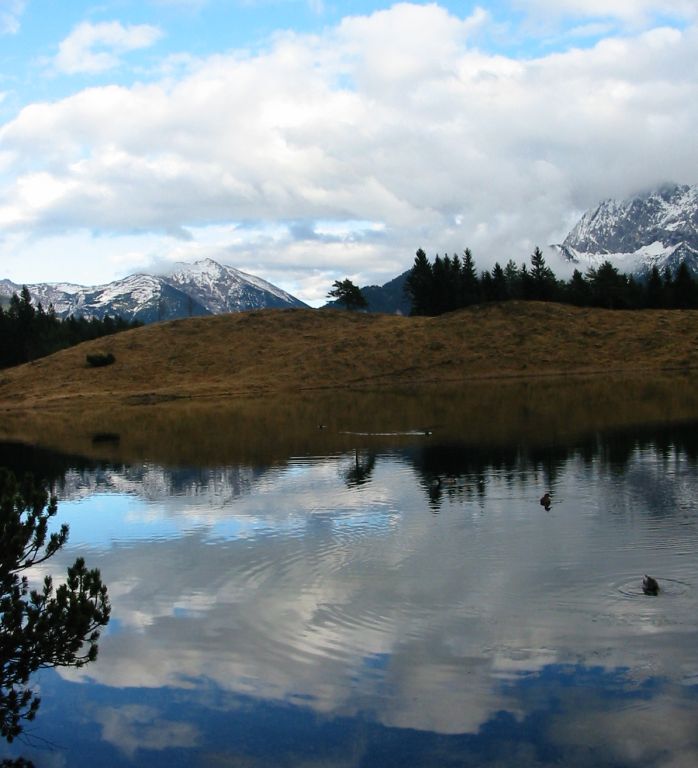
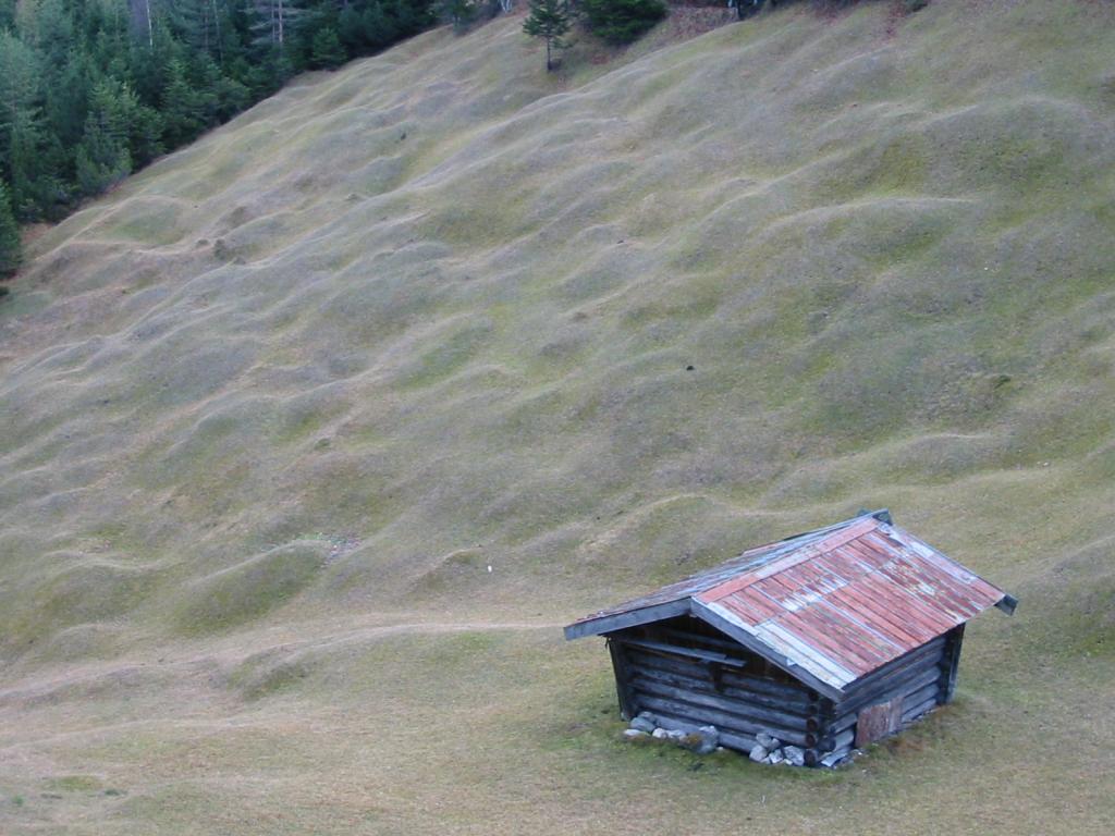
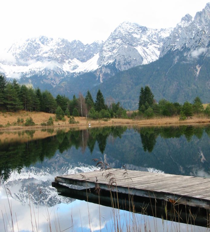
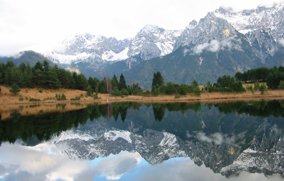
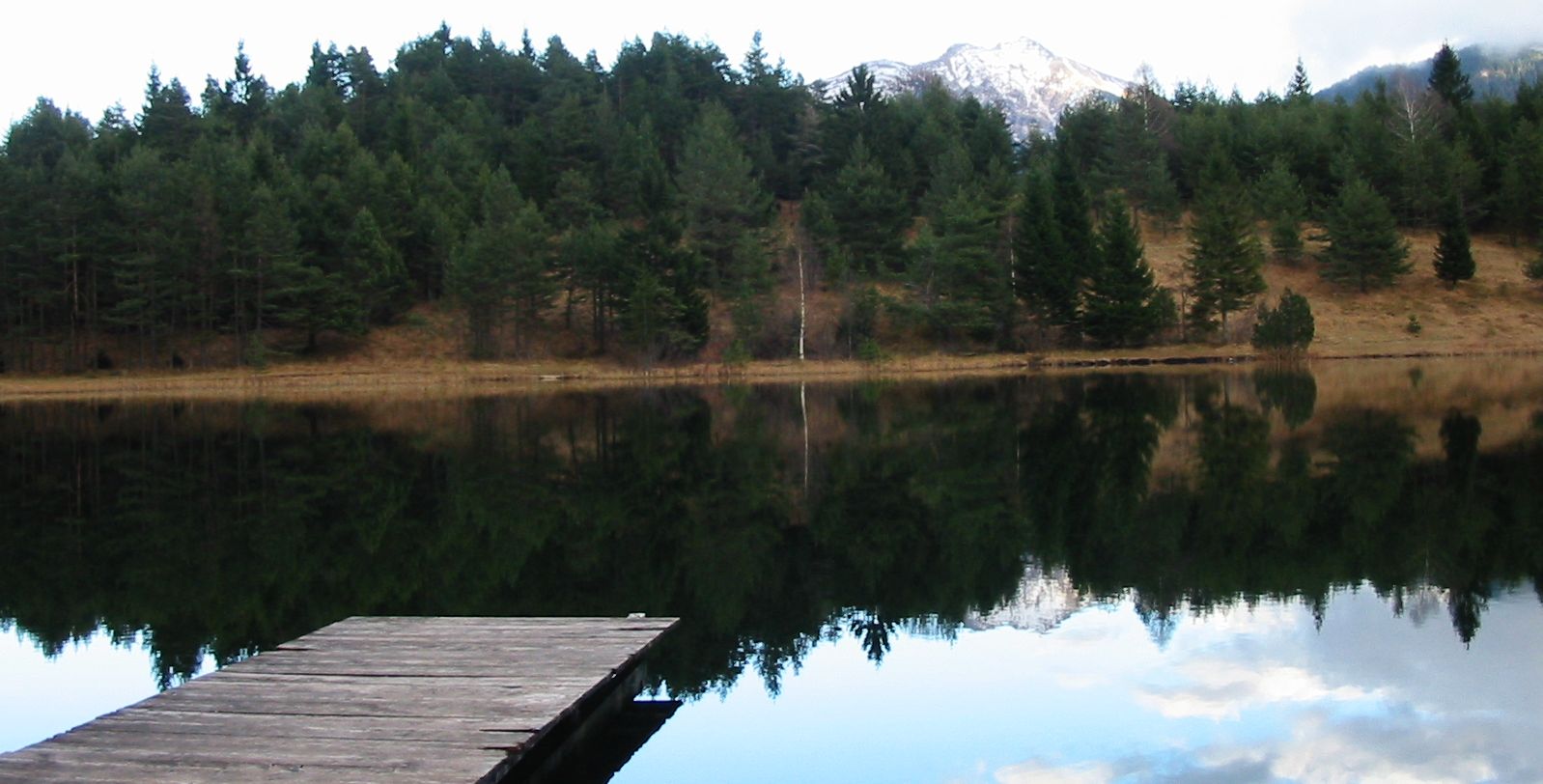
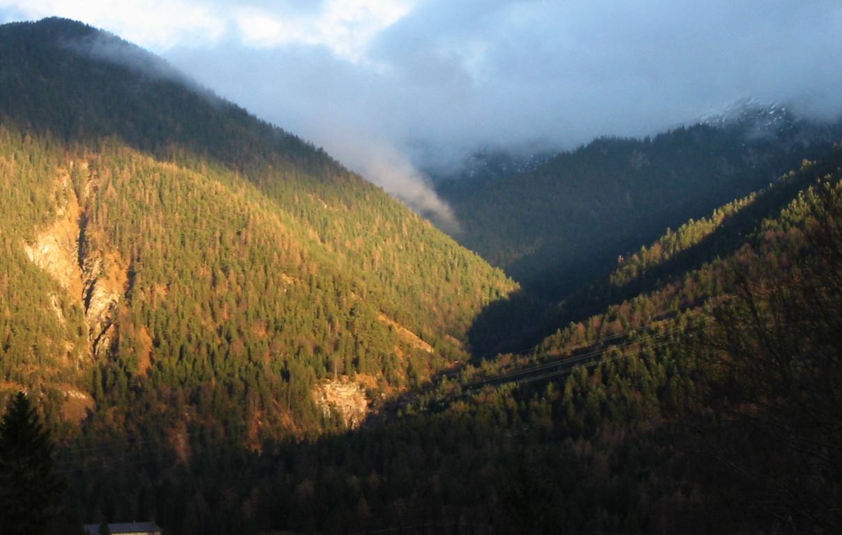
Photos
Important stuff
- You should definitely check the weather!
- For my peace of mind, some conditions apply!