
Date
18/05/2003
Journey there
| Dep. Maierleibnitzstr | 07:32 | (Meet at bus-stop) |
| Arr. Hauptbahnhof | 08:15 | (Meet under departure board, platforms 25-26) |
| Dep. Hauptbahnhof | 08:40 | |
| Arr. Murnau | 09:29 | |
| Dep. Murnau | 09:41 | |
| Arr. Oberammergau | 10:16 |
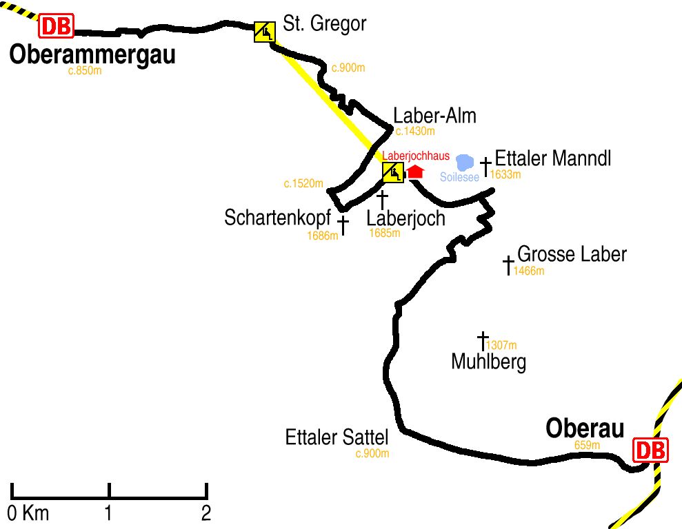
Hike start point
Hike map
Hike map in other formats
![]()
Hike description
- From Oberammergau Bahnhof (c.850) walk 2Km east through the town to the lift station at St Gregor (895m).
- Then walk 3Km up the path running parallel to and east of the lift to where it sharply turns south-west under the lift (c.1500m).
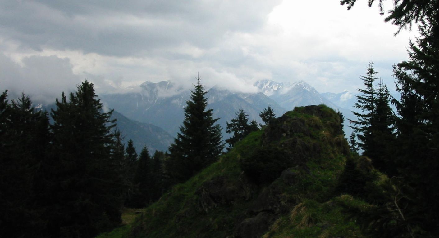
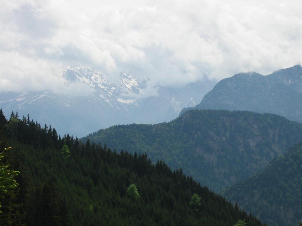
- Following the same path, continue 2Km south-west to Schartenkopf (1686m) and then 1Km north-east again back meeting the lift cable at the Laberjhoch station (1685m).
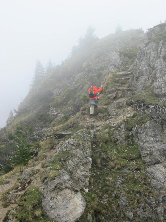
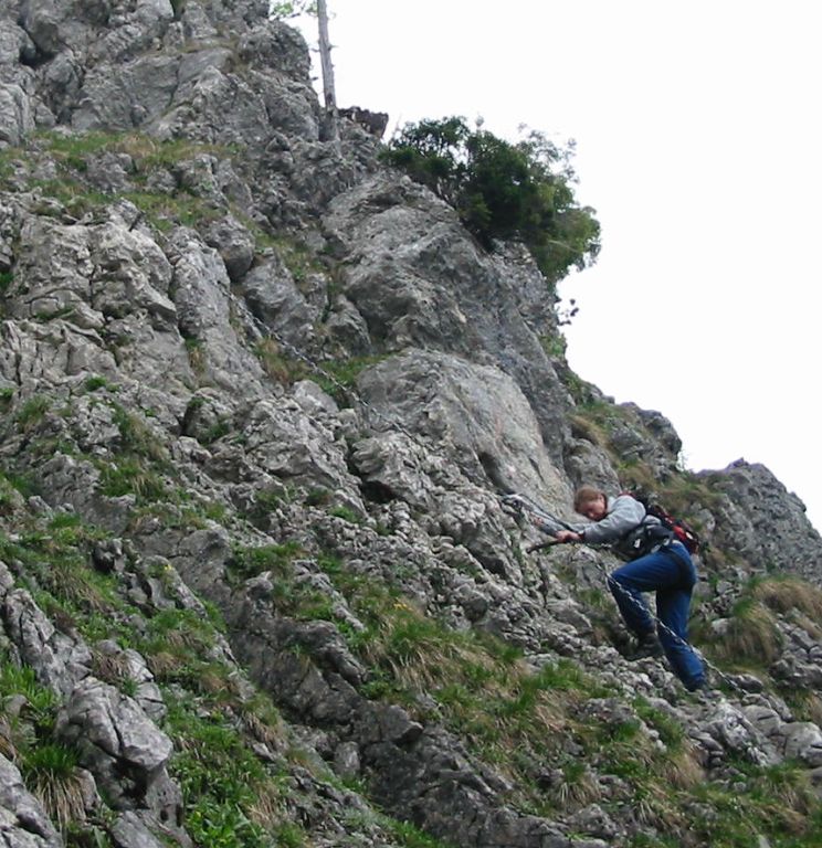
- From there, it is 3Km anticlockwise to the base of Ettaler Manndl (1633m). The last part of the ascent to Ettaler Manndl requires climbing equipment, so is not suitable for to walk with normal hiking clothing.
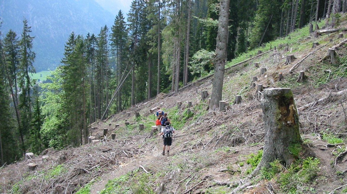
- Then descend down the Manndlweg for 4Km to the Enzianweg fork (c.1000m).
- Turn left onto the the Enzianweg and continue south for 2Km to the main road.
- Then cross the road and walk beside it, on the Pilgrimweg, for 4Km east into Oberau (659m).
Hike end point
Afterwards
We’ll eat somewhere in Oberau. (Please try to make it for the meal – it’s the best part of the day!)
Journey back
| Dep. Oberau | 17:14 | 18:15 | 19:15 | 20:15 | 21:24 | 22:56 |
| Arr. Hauptbahnhof | 18:29 | 19:29 | 20:47 | 21:49 | 22:49 | 00:08 |
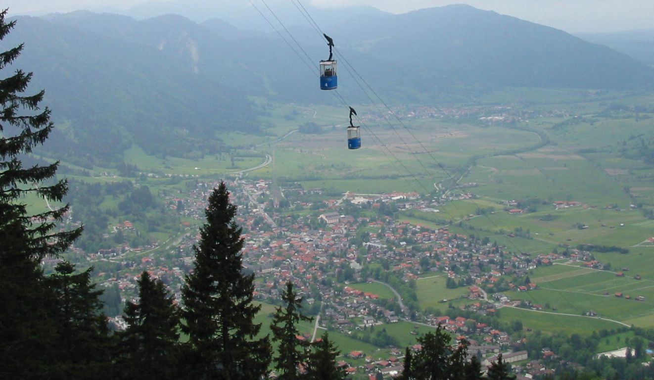
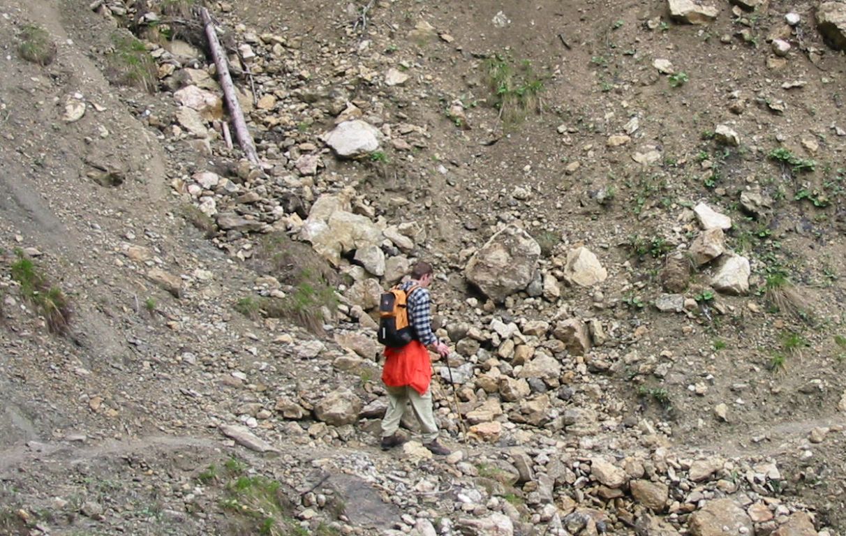
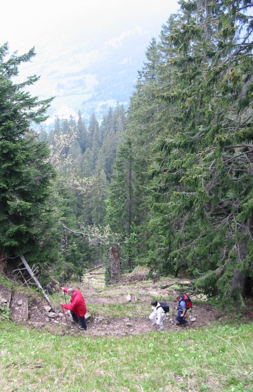
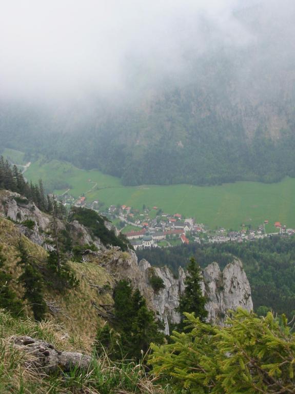
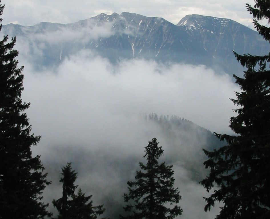
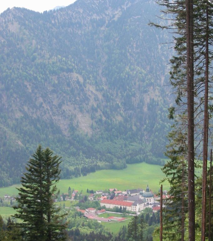
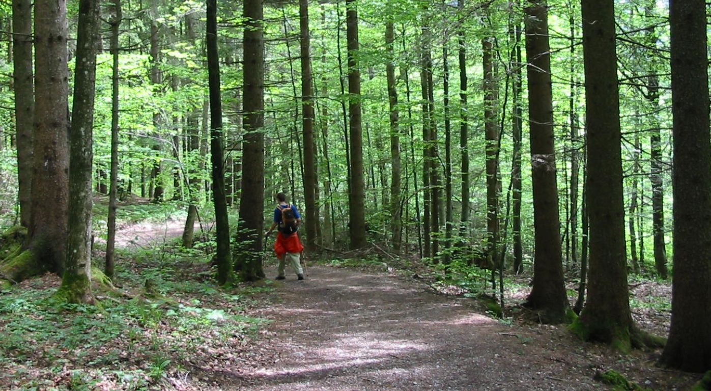
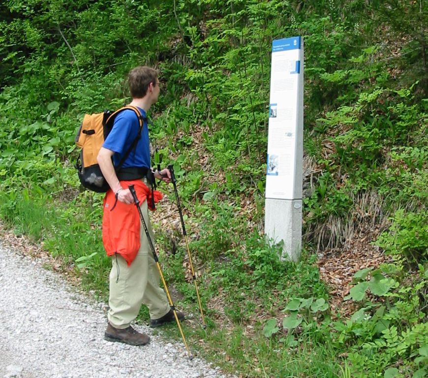
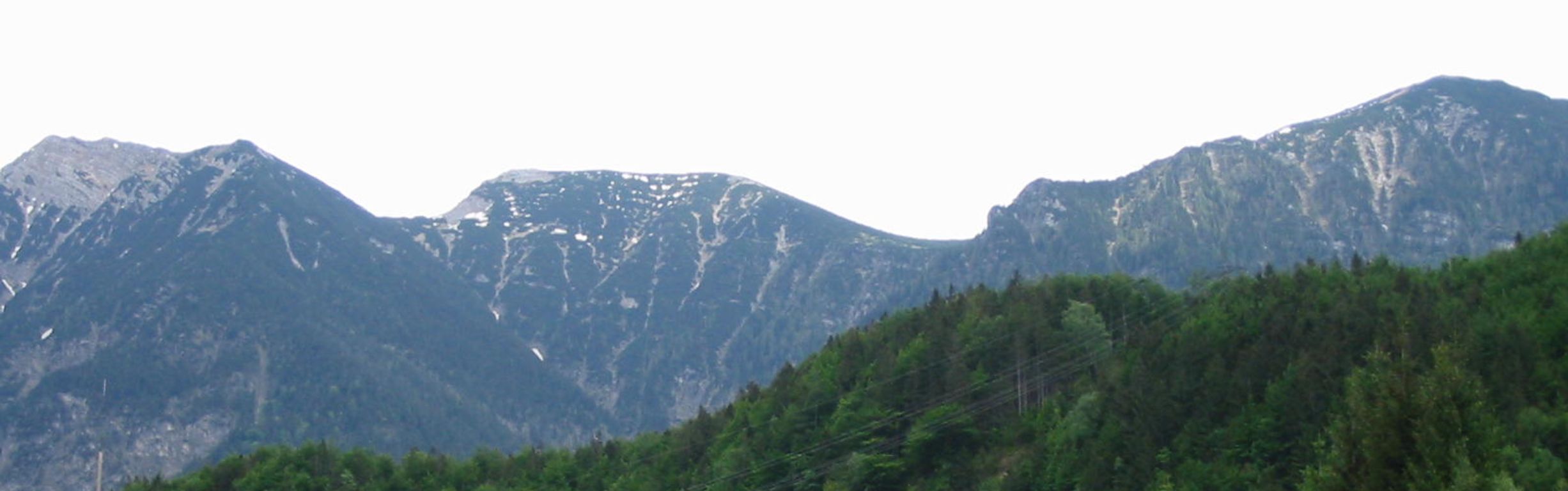
Photos

Important stuff
- If you want to share a group ticket let me know!
- You should definitely check the weather!
- For my peace of mind, some conditions apply!