
Date
20/07/2003
Journey there
| Dep. Maierleibnitzstr | 07:09 | (Meet at bus-stop or on bus 290) |
| Arr. Hauptbahnhof | 07:55 | (Meet under departure board, platforms 25-26) |
| Dep. Hauptbahnhof | 08:20 | |
| Arr. Immenstadt | 10:15 |
Hike start point
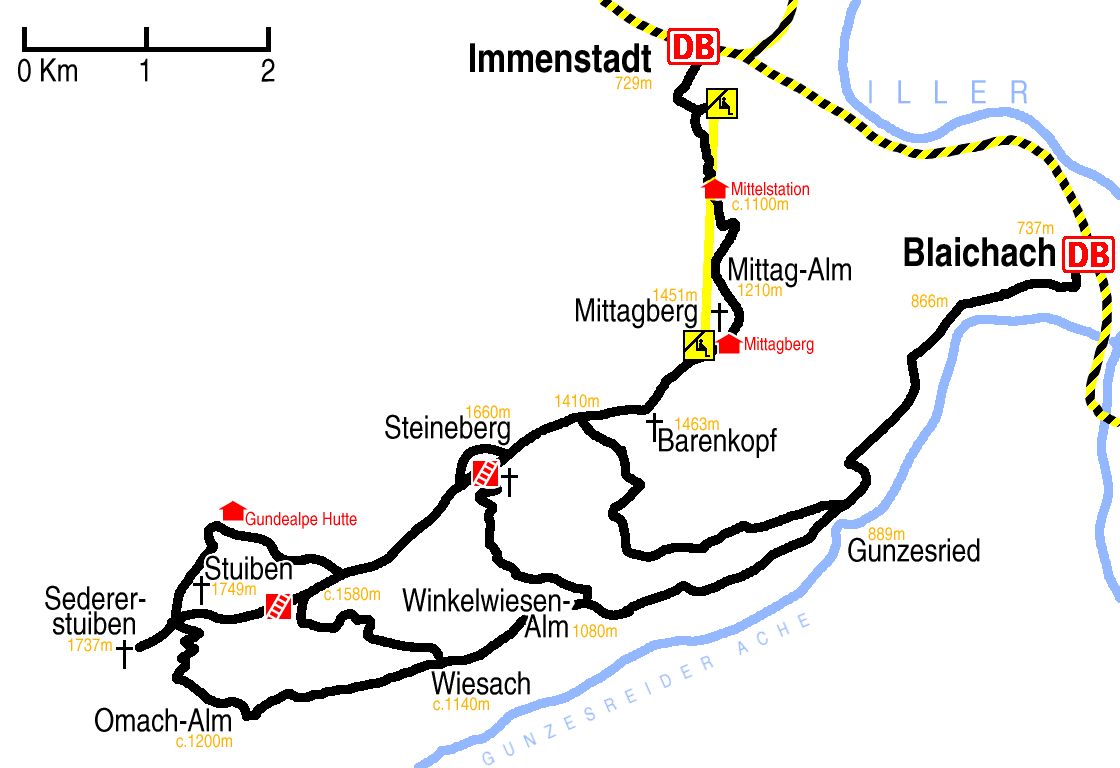
Hike map
Hike map in other formats
![]()
Hike description
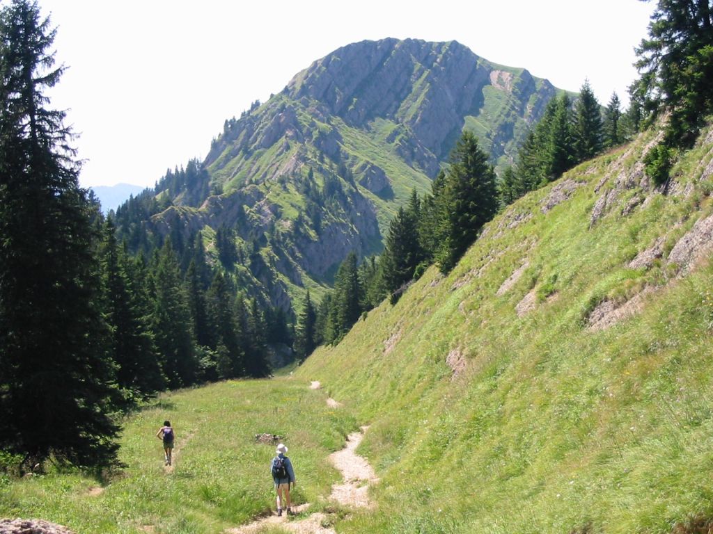
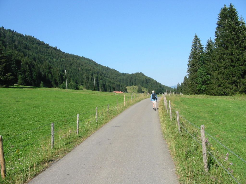
- Exit Immenstadt station (729m) on the road side, turn right, and walk back east 200m and cross the footbridge across the railway. Continue walking south for about 500m.
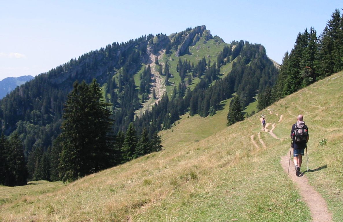
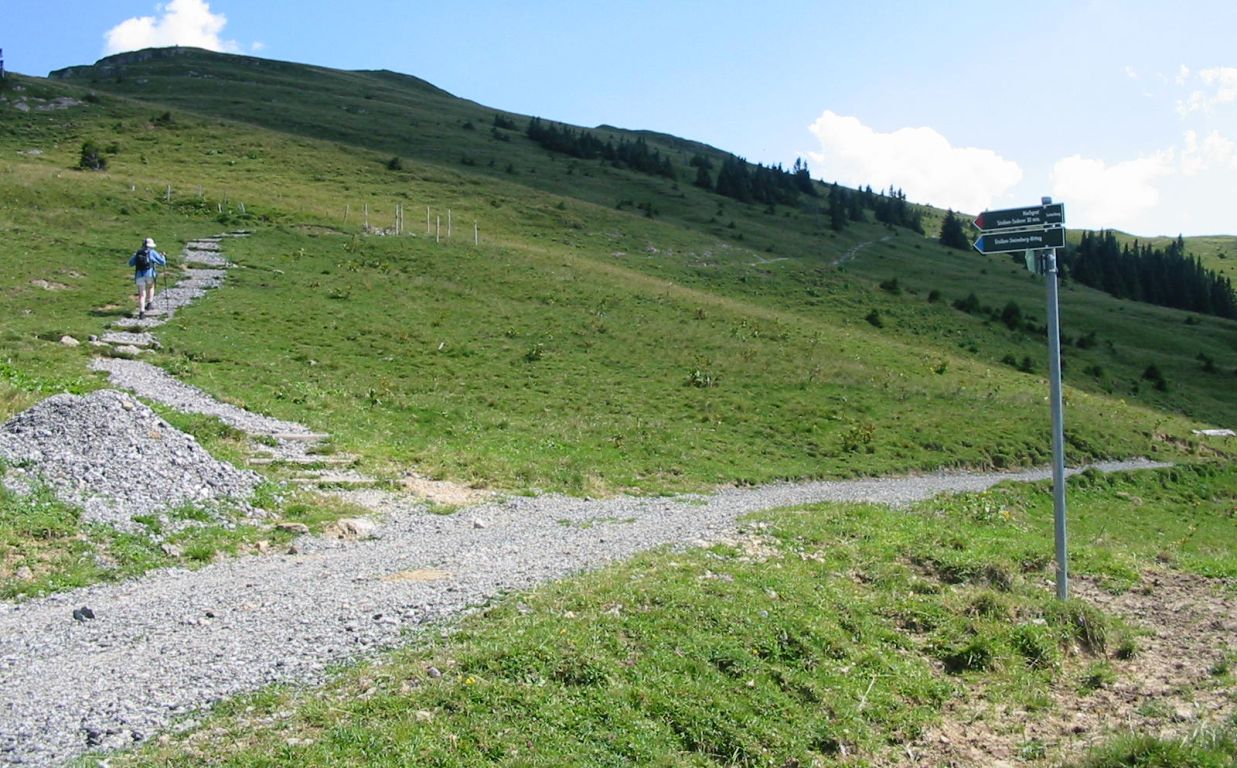
- When you see the wooden bridge to the left of the main path, turn and cross it. Immediately the path forks; take the right fork off the path towards Mittag Mittelstation. Continue past the Mittelstation (c.1050m) and up on to the Mittagberg-Steineberg-Stuiben ridge (1451m). (If you actually reach the top lift station then you have missed the unsigned path onto the ridge which is 30m before the station.)
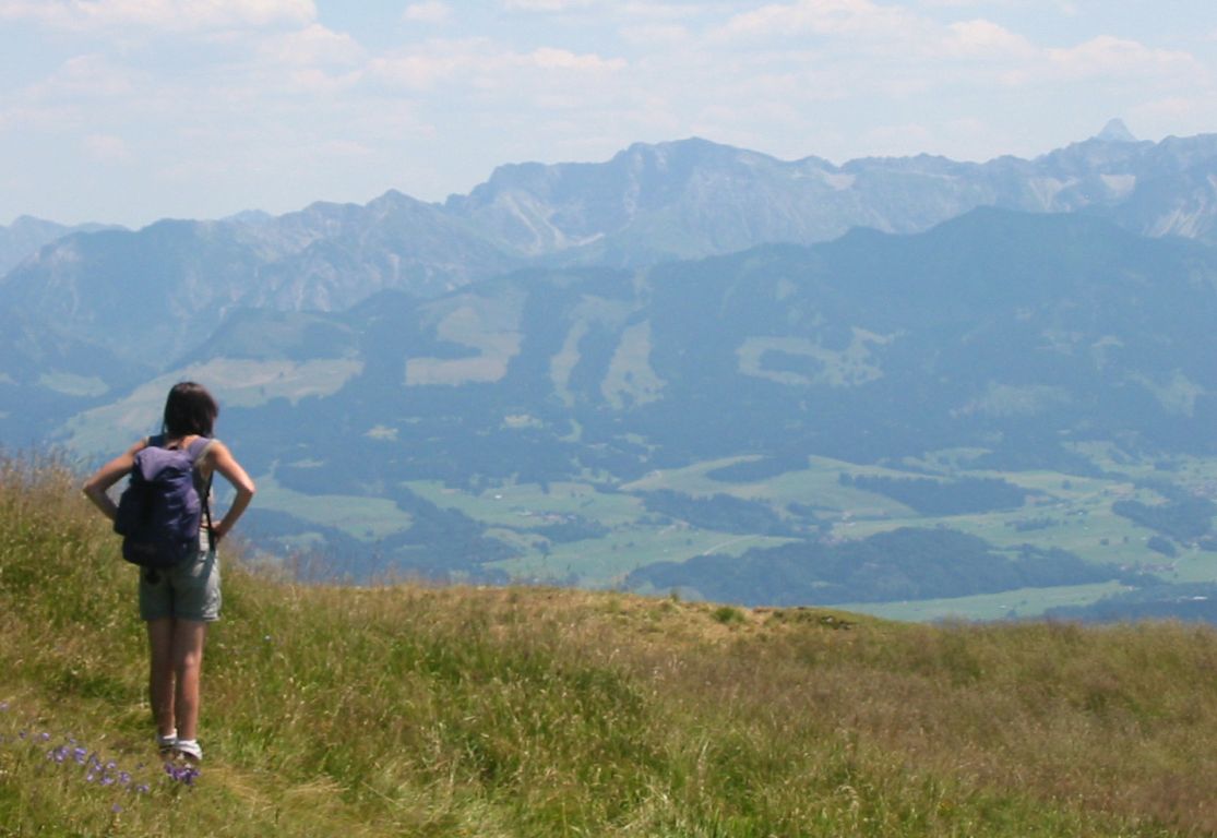
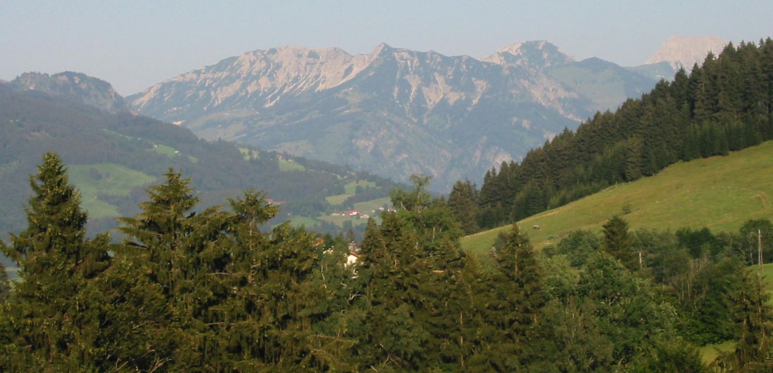
- Then walk about 1Km south-west along the ridge to to Bärenkopf. (1463m) (This was as far as I got due to very strong winds.)
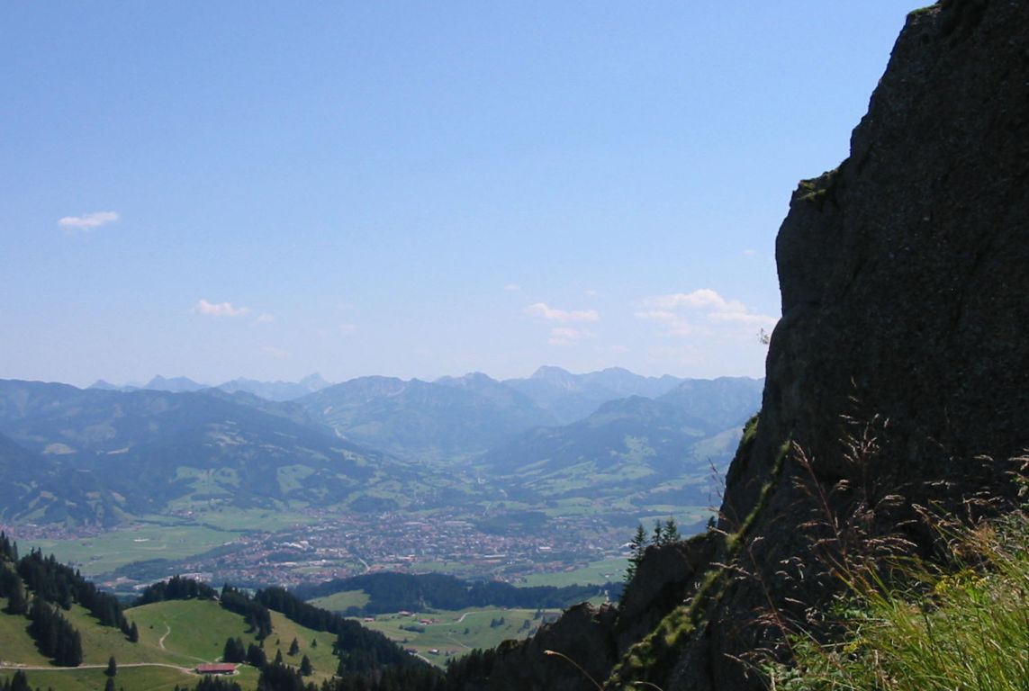
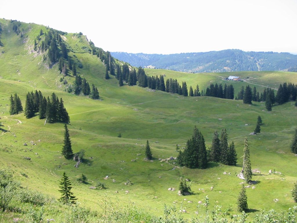
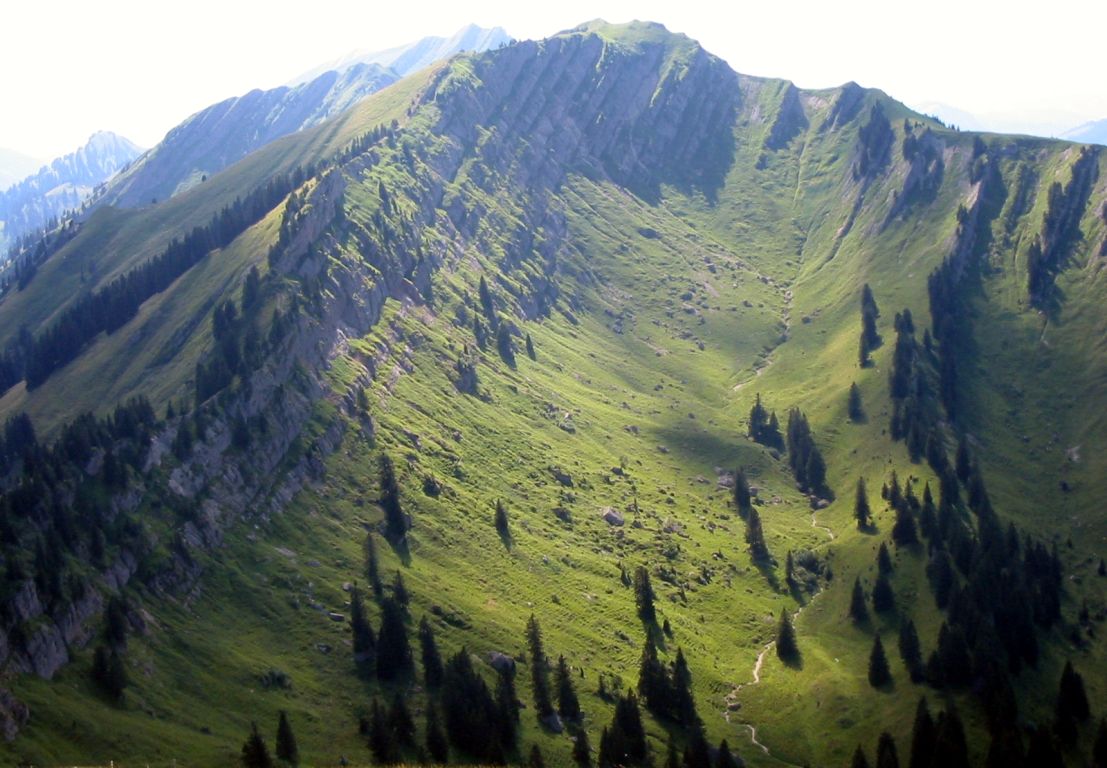
- Then a further 2Km south-west along the Nagelfluhkette ridge to Steineberg (1660m).
- Then a further 4Km south-west along the ridge to Stuiben (1749m).
- 1Km further to Sedererstuiben (1737m), and then returning 500m and forking south for 2Km across Rothen-Alm to Omach-Alm (1200m).
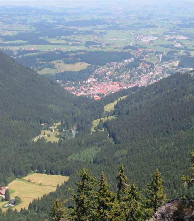
- Then return 10Km north-east along the Gunzesrieder Tal – parallel to and south of the ridge to Blaichach.
Hike end point
Afterwards
We’ll eat somewhere in Blaichach. (Please try to make it for the meal – it’s the best part of the day!)
Journey back
| Dep. Blaichach | 18:53 | 19:35 | 20:33 | 21:02 |
| Arr. Immenstadt | 20:37 | |||
| Dep. Immenstadt | 20:40 (Plt.2) | |||
| Arr. Kempten | 19:20 | 20:02 | 20:56 | |
| Dep. Kempten | 19:44 (Plt.4) | 20:31 (Plt.4) | 21:05 (Plt.5) | |
| Arr. Buchloe | 21:16 | |||
| Dep. Buchloe | 21:21 (Plt.1) | |||
| Arr. Hauptbahnhof | 21:17 | 22:10 | 22:34 | 23:10 |
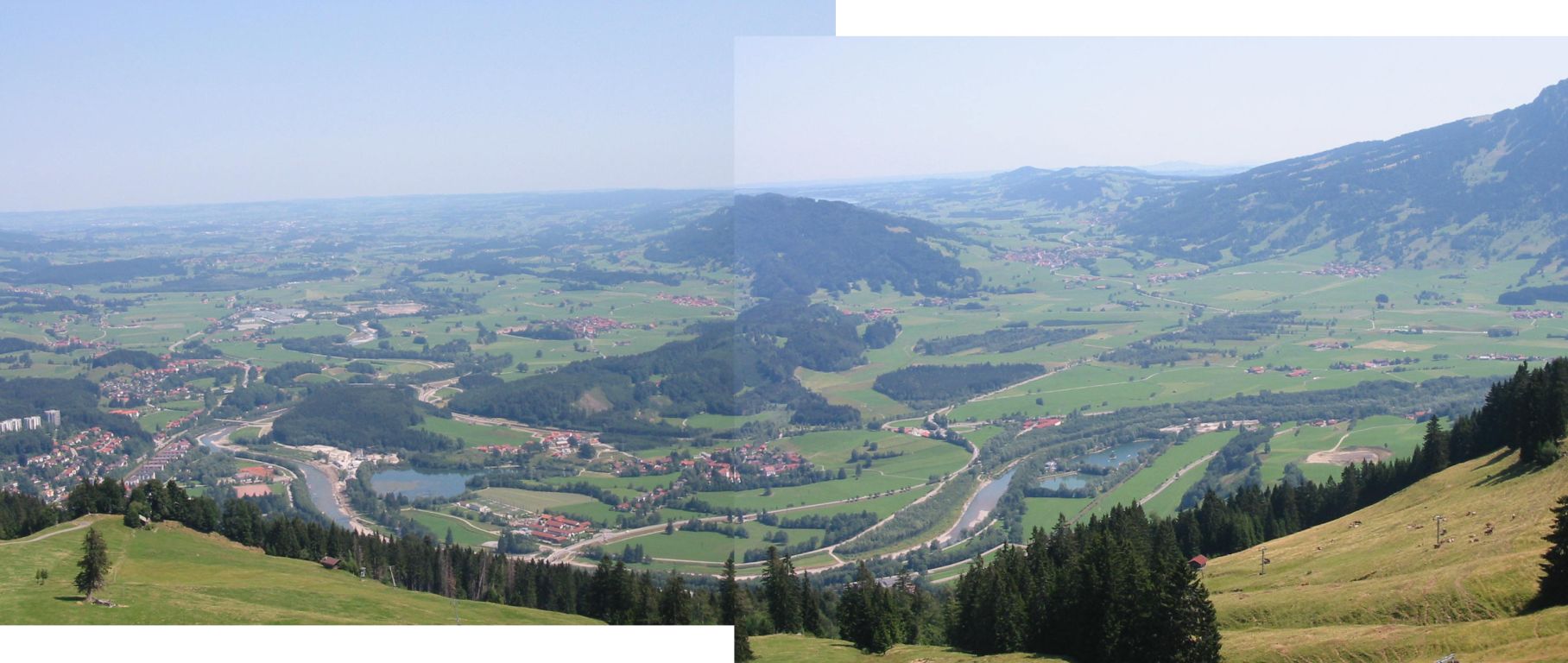
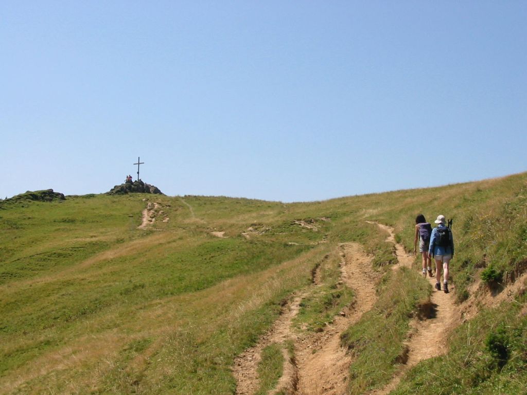
Photos

Important stuff
- If you want to share a group ticket let me know!
- You should definitely check the weather!
- For my peace of mind, some conditions apply!