
Date
01/11/2009
Journey there
| Dep. Alte Heide | 08:12 | (via Marienplatz) |
| Arr. Hauptbahnhof | 08:29 | |
| Meet Hauptbahnhof | 08:30 | (Meet under departure board, platforms 25-26) |
| Dep. Hauptbahnhof | 08:47 | (gleis 5) |
| Arr. Rosenheim | 09:28 | |
| Dep. Rosenheim | 09:35 | (gleis 7) |
| Arr. Flintsbach | 09:47 |
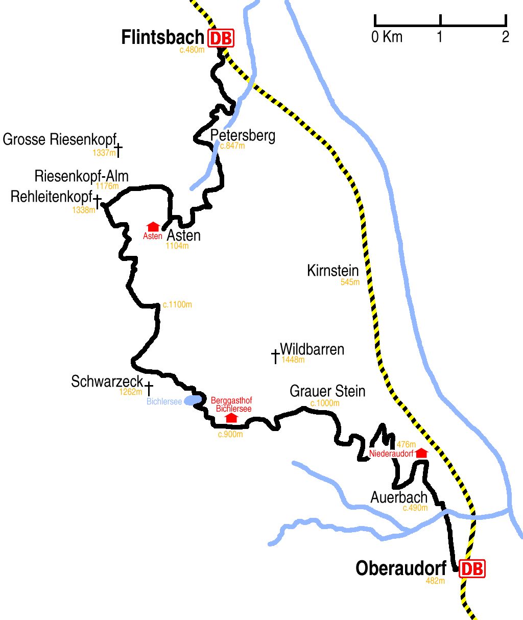
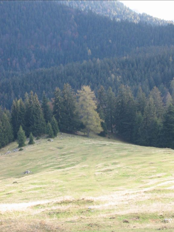
Hike start point
Hike map
Hike map in other formats
![]()
Hike description
- Turn left out of Flintsbach Bahnhof (c.480m) and walk 1Km along Innstraße, on the other side of the main road take Maiwandstraße, then Petersbergweg and Astenweg.
- Follow the path up in the direction of Hohen Asten for about 500m and then, instead of staying on the road, take the unsigned right turning.
- For 6Km follow the signs to Hohen Asten (1104m).
- Just before the hutte, take the right turn for Riesenkopf, which stays level and goes anticlockwise round Asten for about 2Km to Riesenkopf-Alm (1176m).
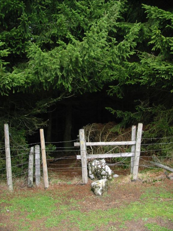
- About 50m before the right turn to Grosse Riesenkopf, there is a stile on the left side without a sign; this is the path to Rehleitenkopf.
- Cross the stile and walk 1Km up Rehleitenkopf. There is not really a proper path, but cross the stream and stay on the right-hand side of it. At the top there is a plateau with a fence along it. There is an unsigned stile across the fence leading into a small wood. This is the path to the Gipfel.
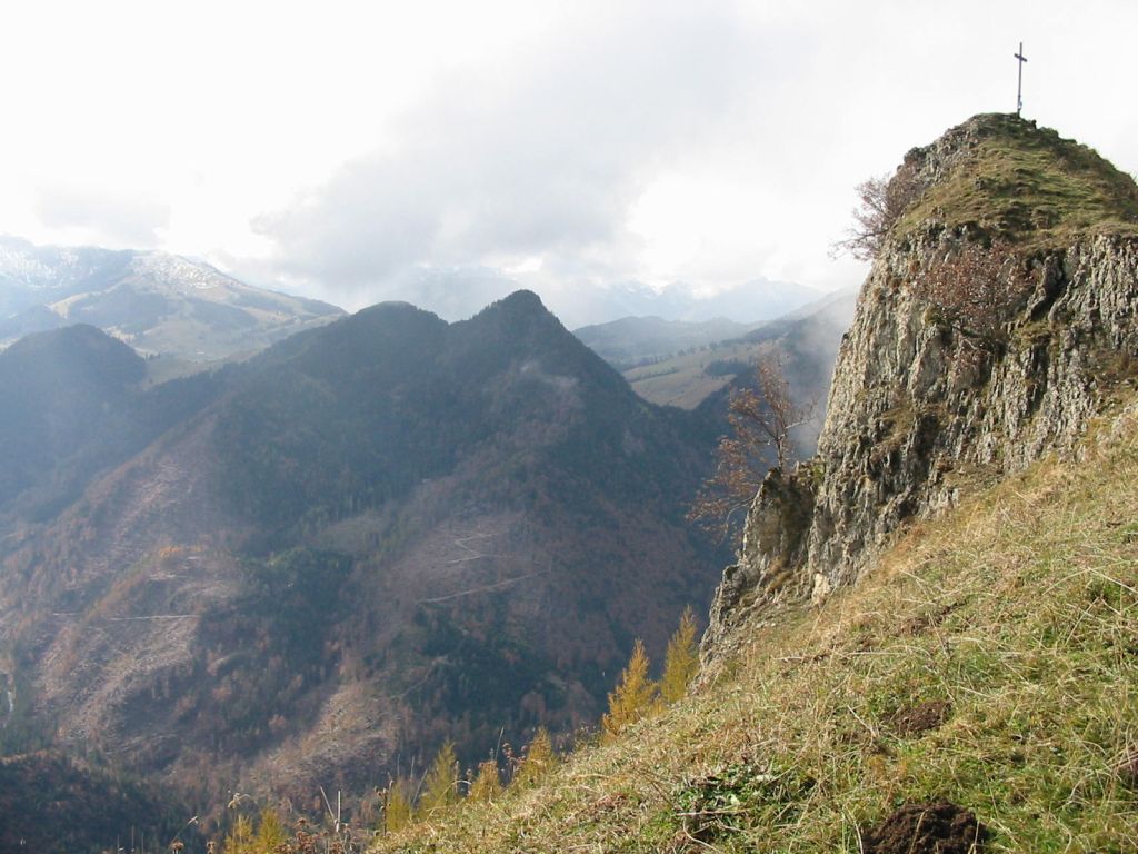
- Walk through the wood for 200m and you will emerge only 50m from the Gipfelkreuz (1338m). After visiting the cross, return through the wood the way you came.
- The path south down Rehleitenkopf is not well marked. Walk down 500m; try to stay on the top of the rounded ridge that leads down to a field and some woodland with a fence in front of them.
- Go through the gap in the fence and then stay close to the fence on the right-hand side of field. At the back of this field is a stile. Cross the stile and follow the much better path down 1Km to where to Rehleitenkopf path rejoins the Asten path (c.1230m).
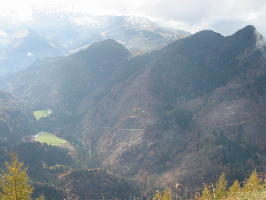
- Follow this path down for 3Km, in the direction away from Asten. There are several places where it is not clear which fork to take; look for the red spots on the trees and take that path. This should eventually bring you to Regauer Hochalm (c.1100m), where a few paths converge.
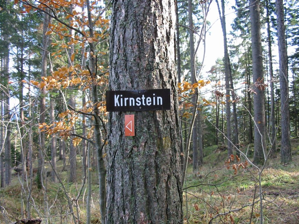
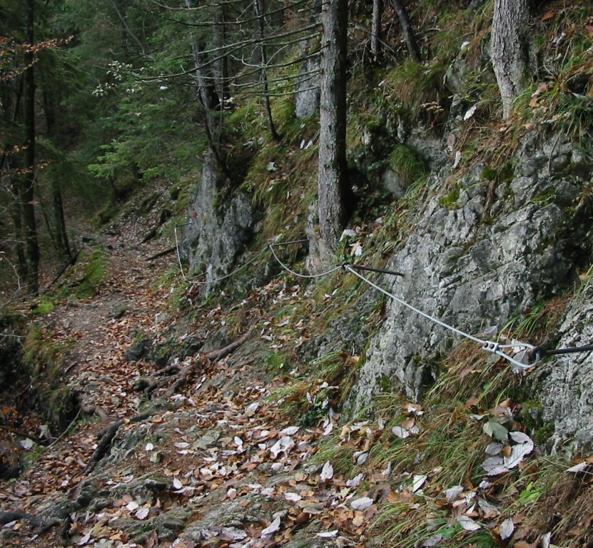
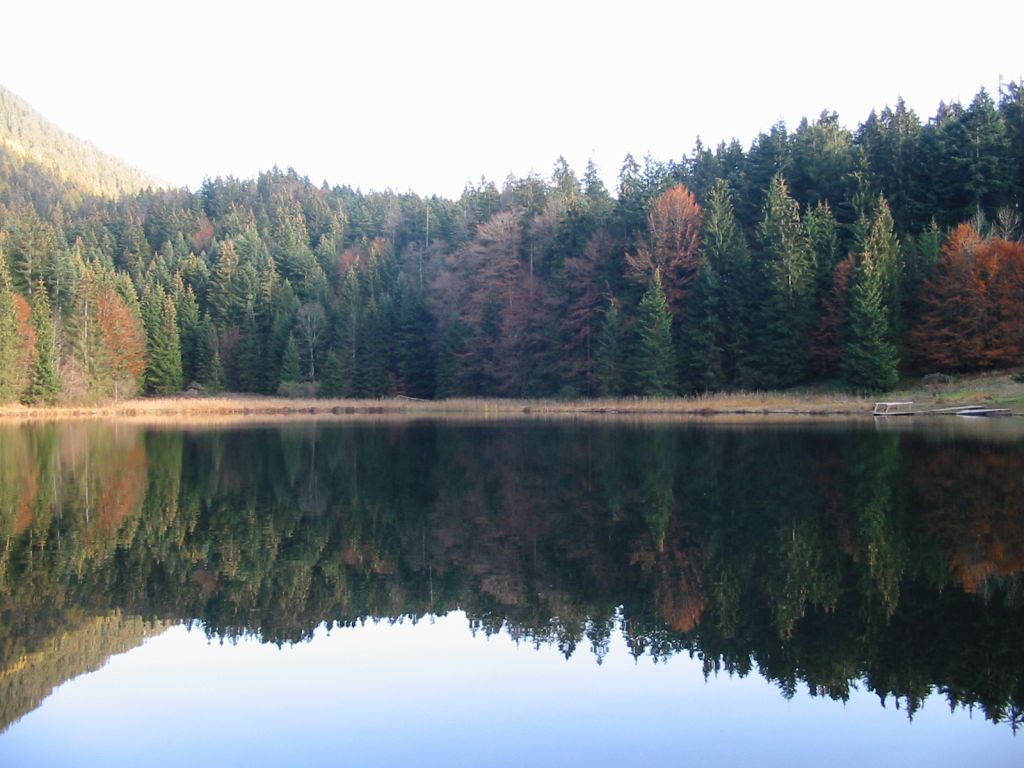
- From here, there is a small path, signed, leading to Bichlersee. Follow this path for 4Km to Bichlersee (c.1000m). If you see a sign to Kirnstein then you have just missed a right turn to Bichersee! Beware on this last 500m; there is a narrow section with a rope to hold onto, which should probably not be attempted in snow.
- At Bichlersee, the path down to valley to Oberaudorf should be off to the left, i.e. just a quarter of the way round the lake. Instead walk half way round the lake and take follow the signs from there, which is much clearer.
- Walk down the road about 2Km past the Bichlersee Hutte to the left turning which is sign-posted to Grauer Stein and take this path.
- Then walk a further 5Km down to Oberaudorf (482m).
Hike end point
Afterwards
We will eat at somewhere in Oberaudorf. (Please try to make it for the meal – it’s the best part of the day!)
Journey back
| Dep. Oberaudorf | 17:02 | 18:03 | 19:02 | 20:02 | 21:02 | 22:02 | |
| Arr. Rosenheim | 17:23 | 18:24 | 19:24 | 20:22 | 21:23 | 22:23 | |
| Dep. Rosenheim | 17:30 | 18:39 | 19:30 | 20:38 | 21:31 | 22:31 | (gleis 1) |
| Arr. Hauptbahnhof | 18:18 | 19:19 | 20:18 | 21:19 | 22:19 | 23:18 |
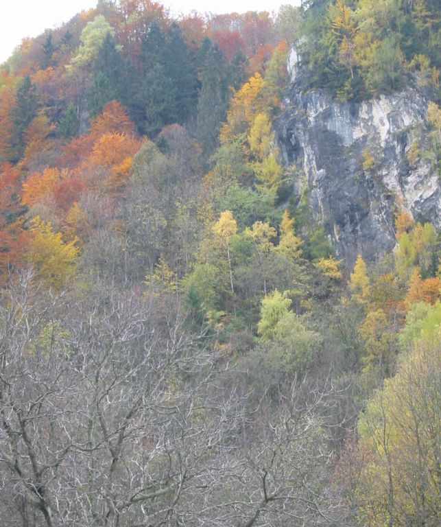
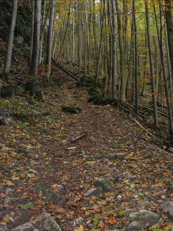
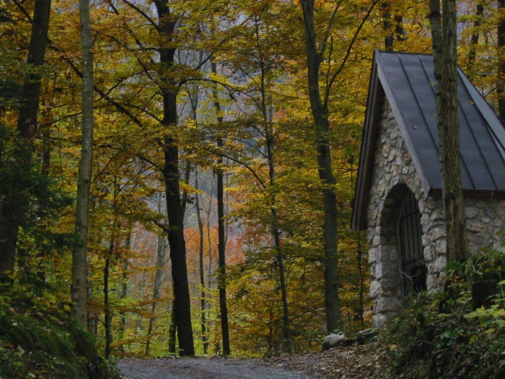
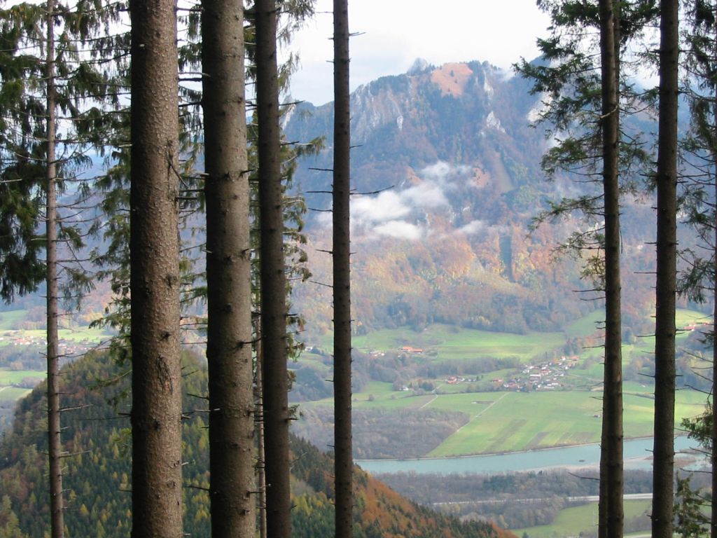
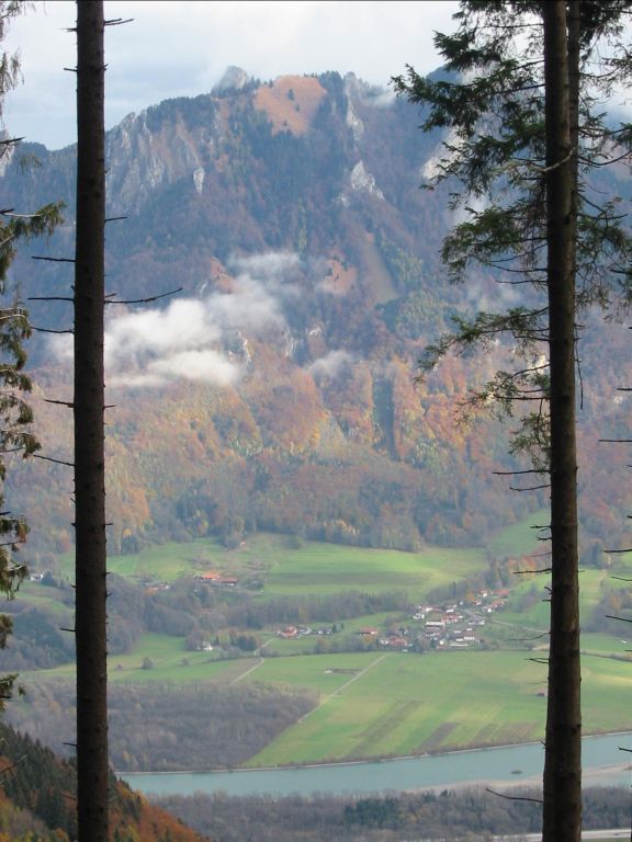
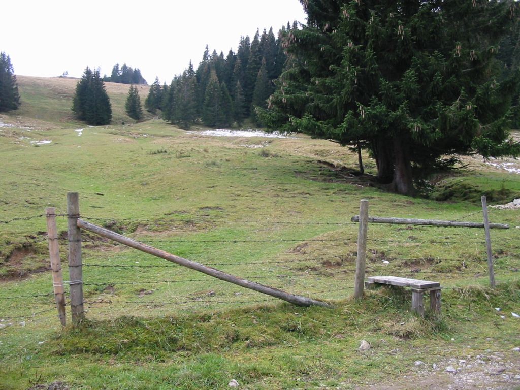
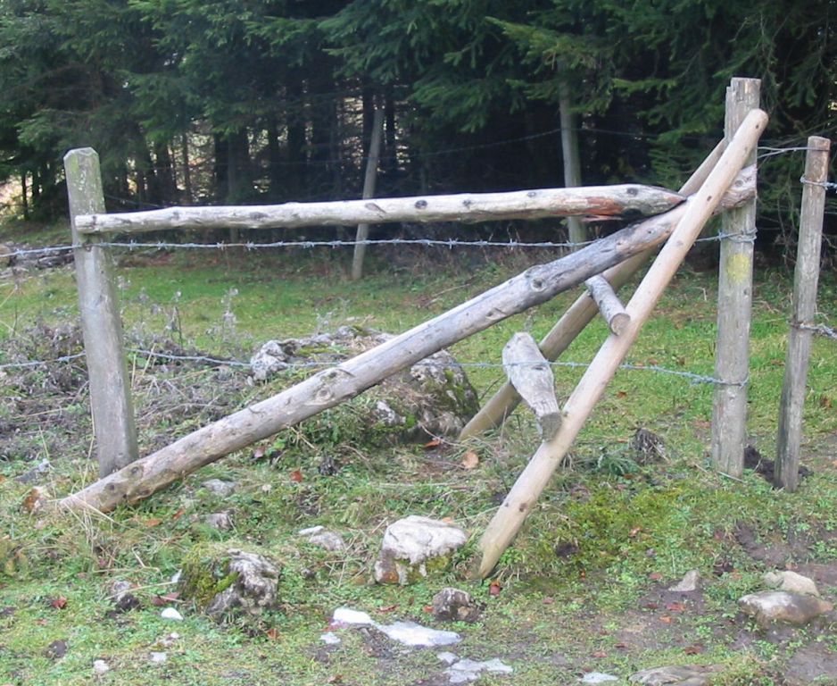
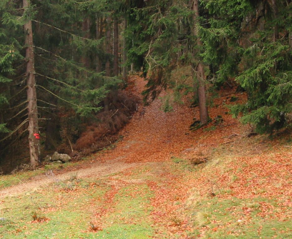
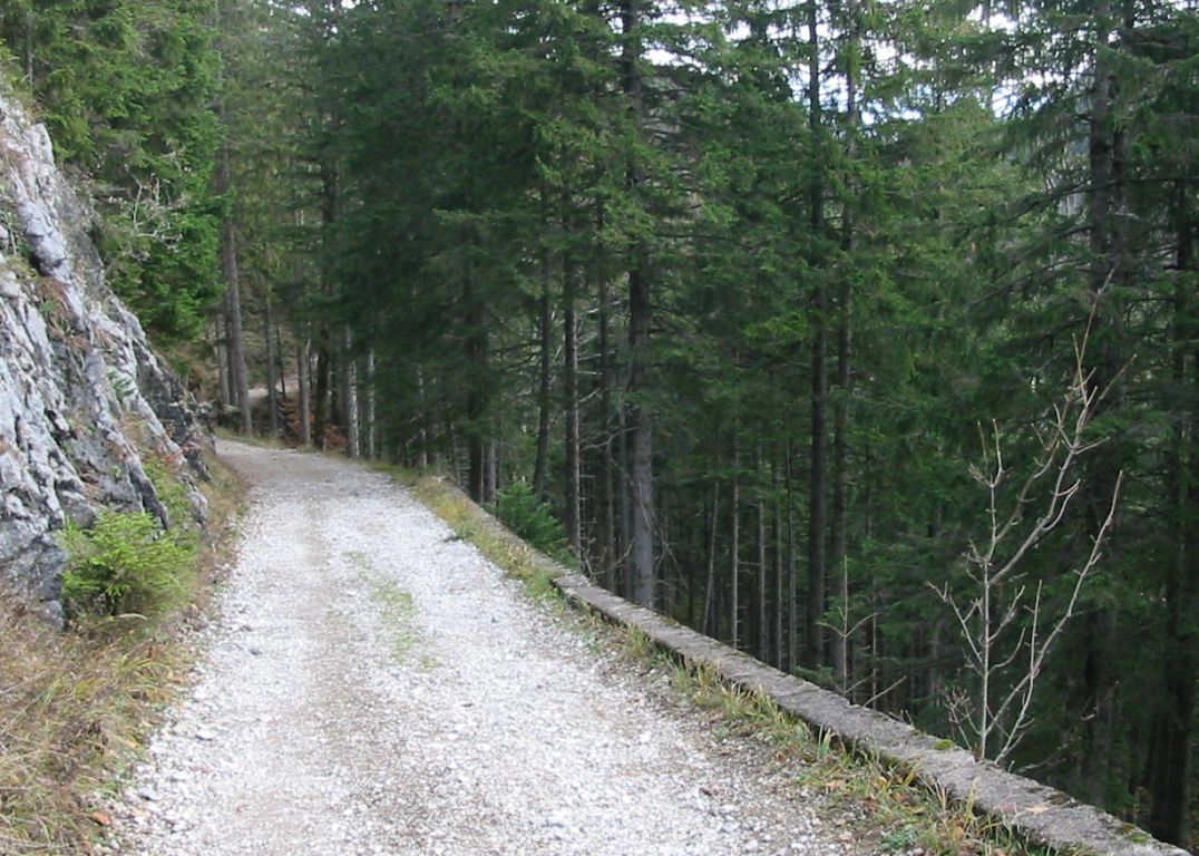
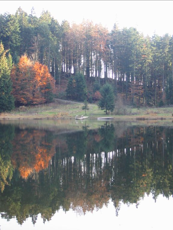
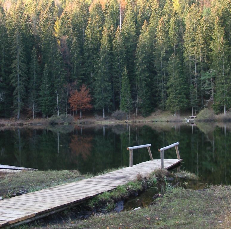
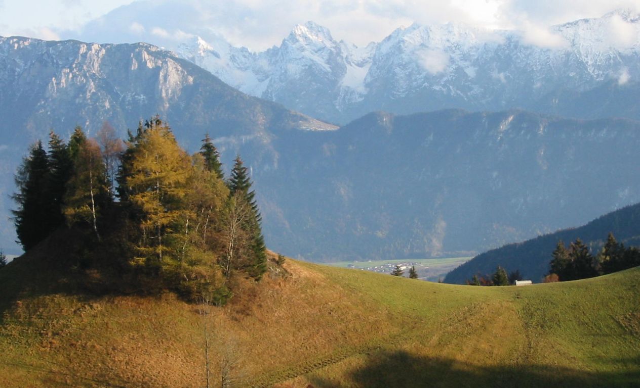
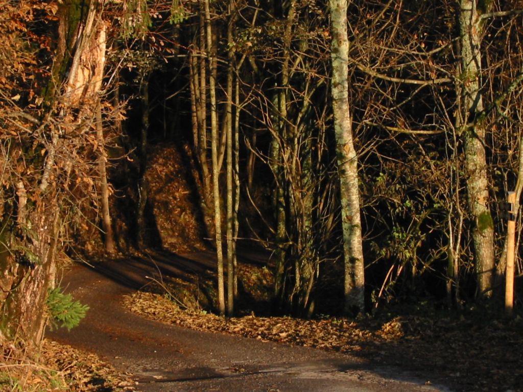
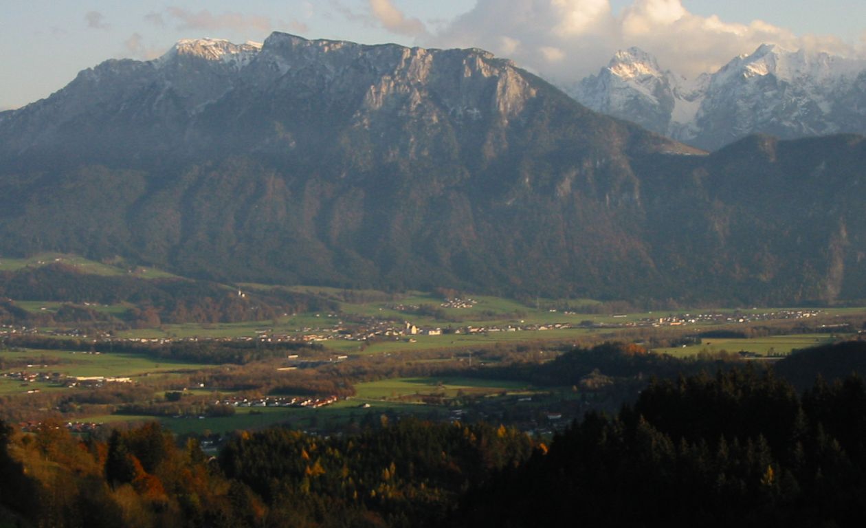
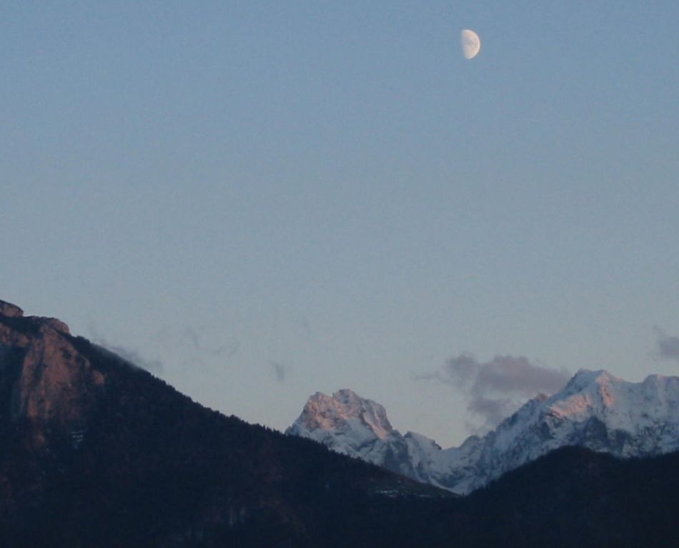
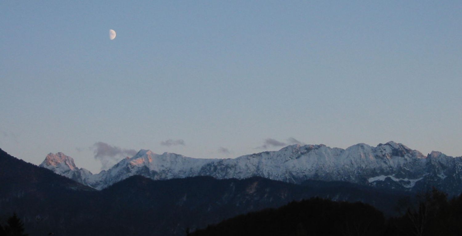
Photos
Important stuff
- If you want to share a group ticket let me know!
- You should definitely check the weather!
- For my peace of mind, some conditions apply!