
Date
28/07/2002
Journey there
| Dep. Maierleibnitzstr | 07:12 | (Meet at bus-stop) |
| Arr. Hauptbahnhof | 07:55 | (Meet under departure board, platforms 25-26) |
| Dep. Hauptbahnhof | 08:20 | |
| Arr. Immenstadt | 10:15 | |
| Dep. Immenstadt | 10:18 | |
| Arr. Sonthofen | 10:26 | |
| Dep. Sonthofen | 10:35 | (bus 9748) |
| Arr. Hindelang | 10:50 |
Hike start point
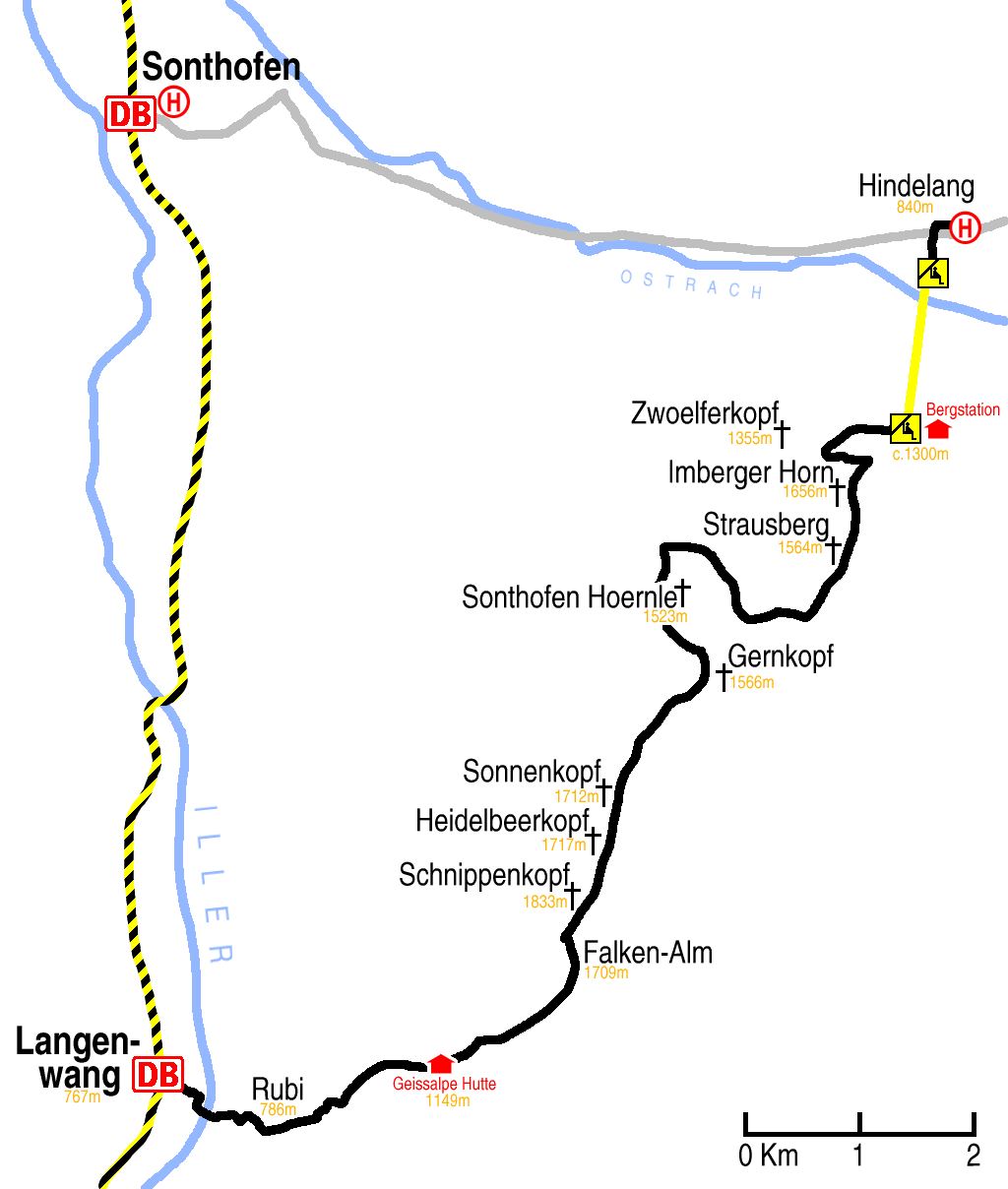
Hike map
Hike map in other formats
![]()
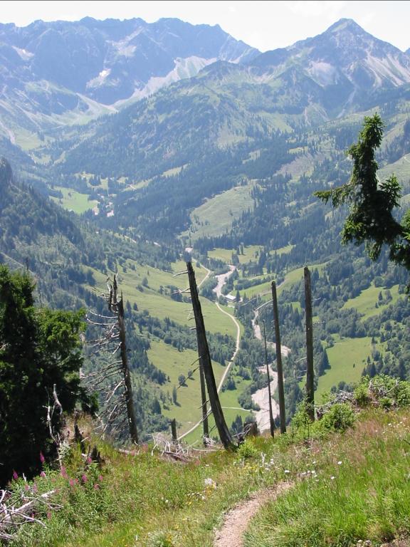
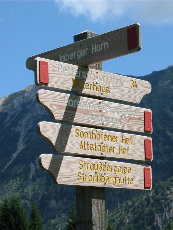
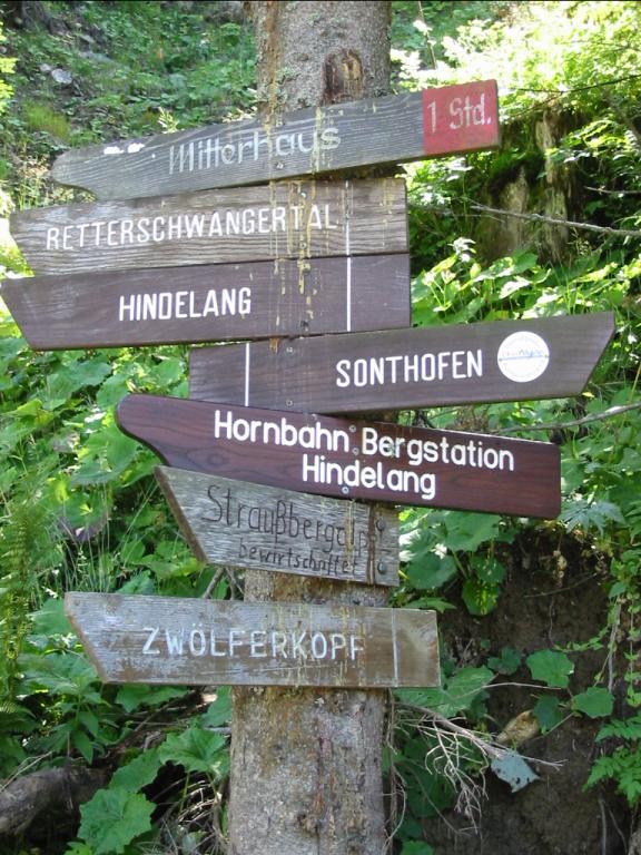
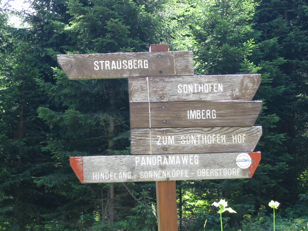
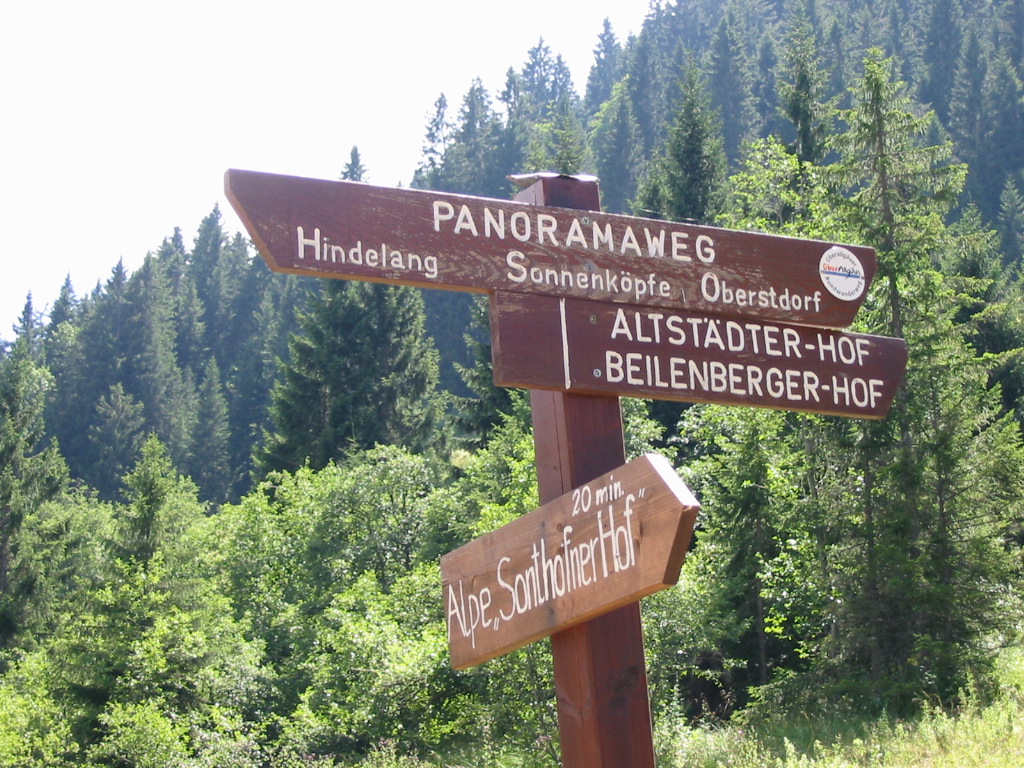
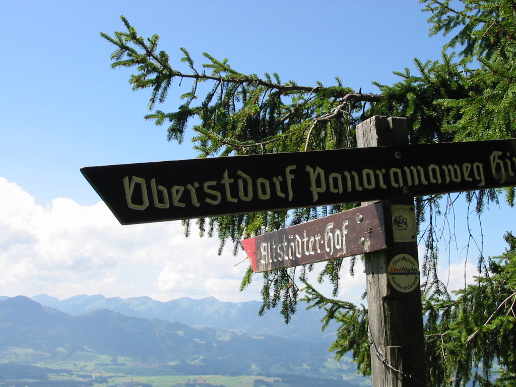
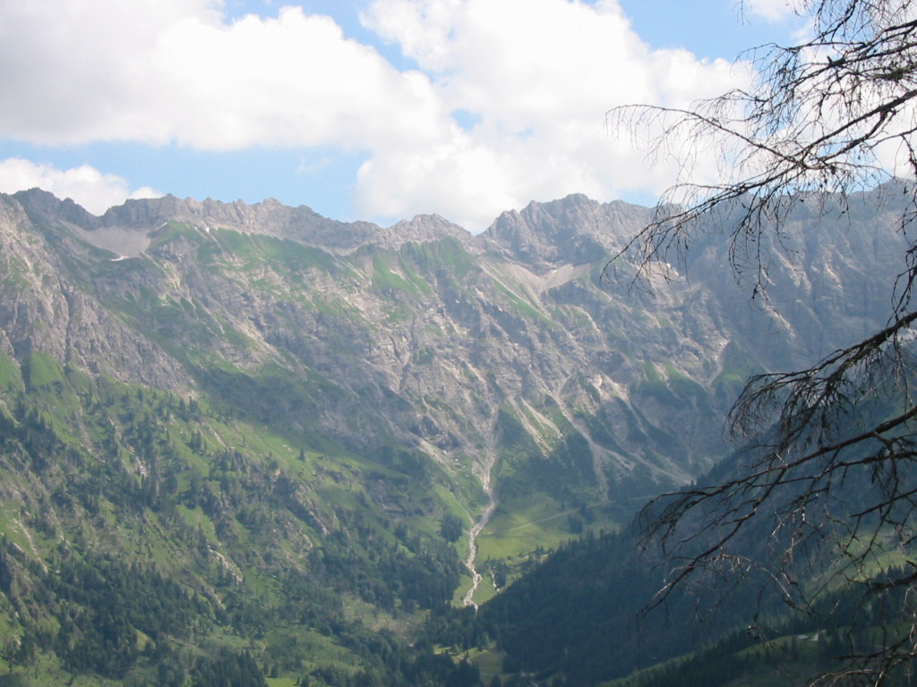
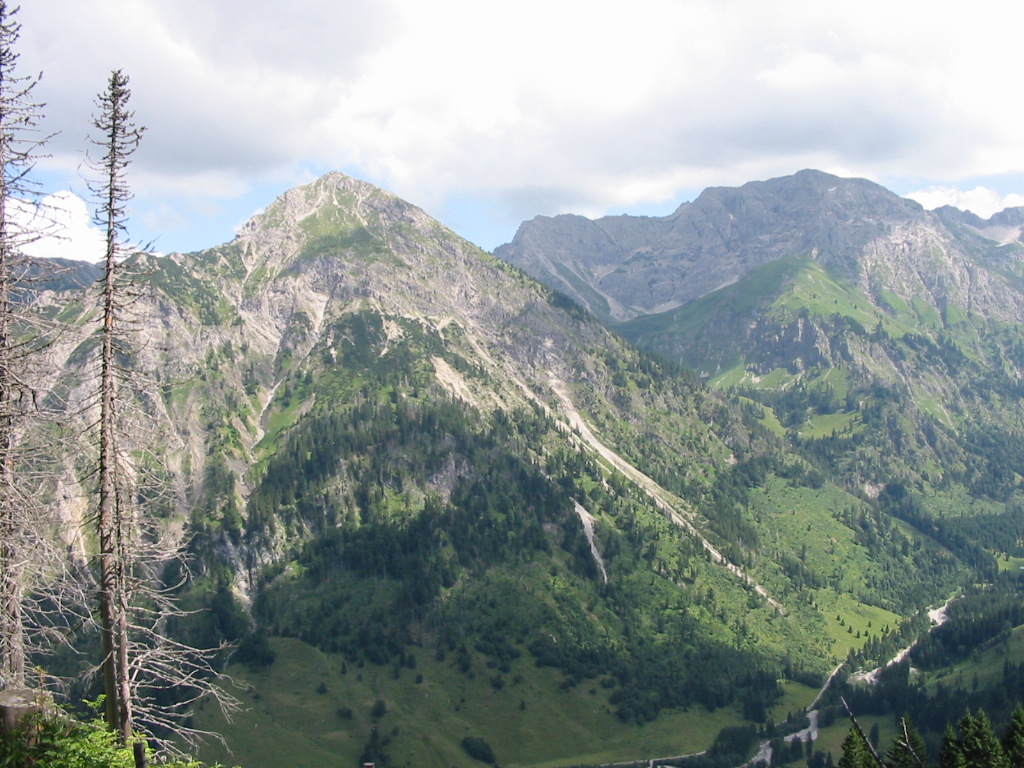
Hike description
- From the bus-stop head south for 1Km to the car park by the mountain lift (c.840m).
- Then follow the path up under the lift, which starts in a south-west direction, for 3Km to the lift station (1300m).
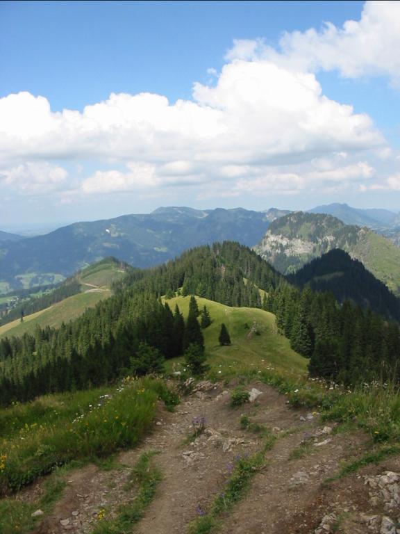
- Starting east, follow the Panoramaweg 3Km anti-clockwise around the Imberger Horn, to the saddle (c.1250m) between Imberger Horn and Zwölferkopf.
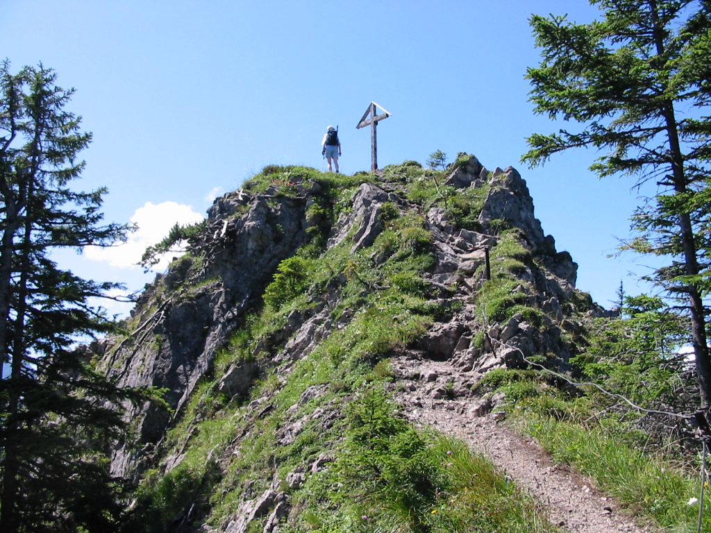
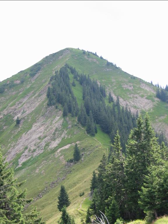
- Turn left and walk 1Km to the top of Imberger Horn (1656m).
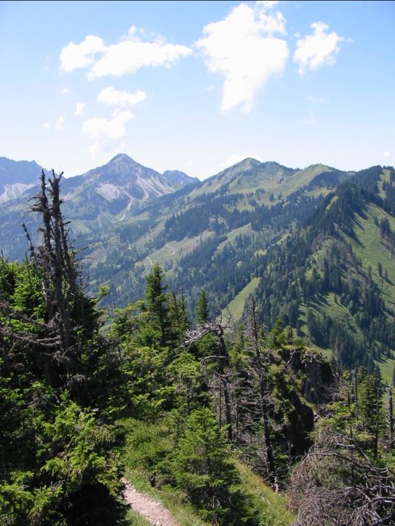
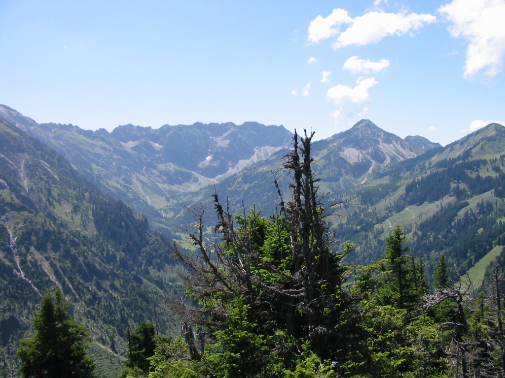
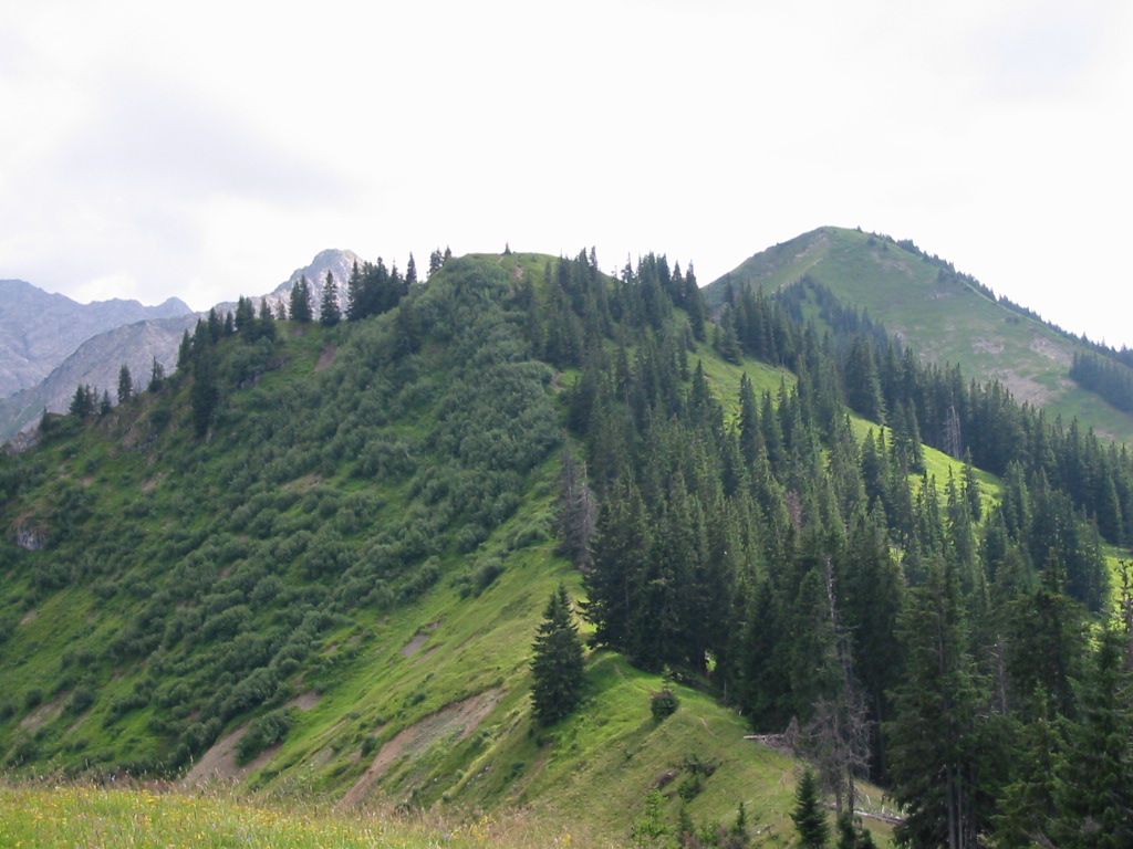
- Continue south for 5Km, crossing Strausberg (1564m) and looping around Sonthofner Hörnler to Gernkopf (1566m).
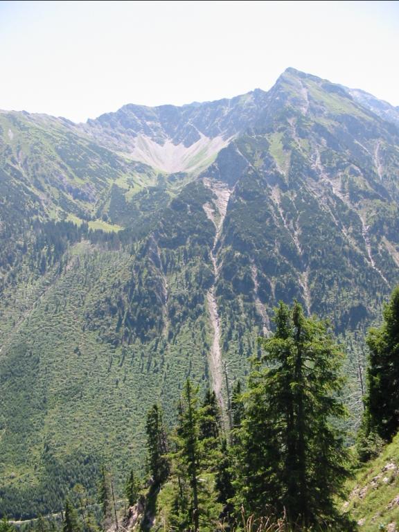
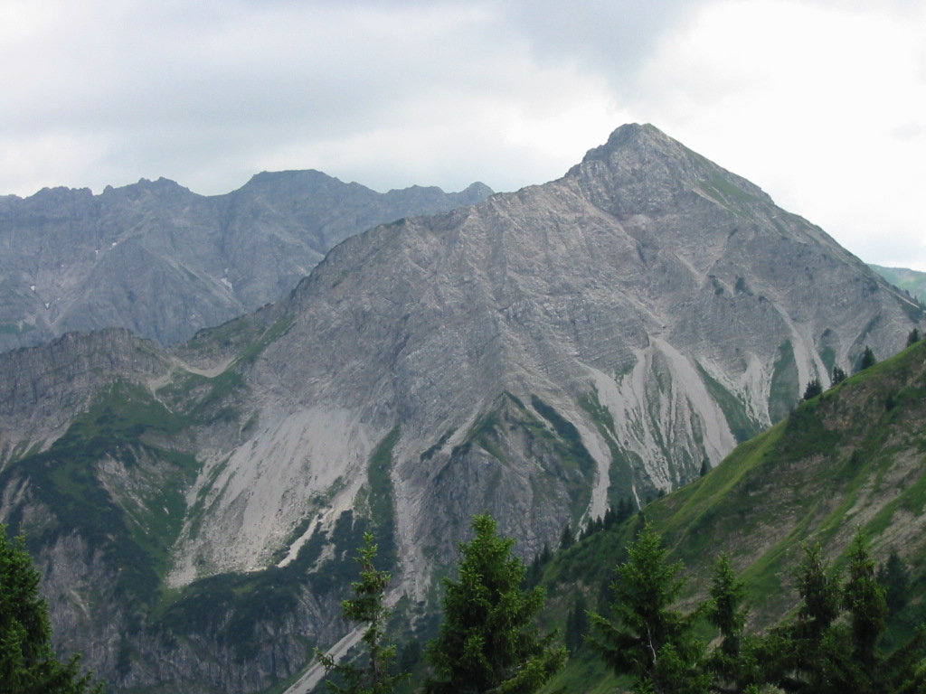
- Follow the ridge further south-west for 4Km passing the peaks of Sonnenkopf (1712m), Heidelbeerkopf (1717m) and Schnippenkopf (1833m), to Falken-Alm (1709m).
- Then head south-west for 2Km, quickly descending to Geissalpe (1149m).
- Then south-west for 3Km to Rubi (786m) and north-west for 2Km to Langenwang (767m).
Hike end point
Afterwards
We will eat somewhere in Langenwang. (Please try to make it for the meal – it’s the best part of the day!)
Journey back
| Dep. Langenwang | 19:14 | 20:16 | 21:14 |
| Arr. Immenstadt | 19:38 | ||
| Dep. Immenstadt | 19:41 | ||
| Arr. Kempten | 21:58 | ||
| Dep. Kempten | 22:07 | ||
| Arr. Hauptbahnhof | 21:31 | 22:34 | 23:44 |
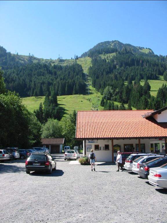
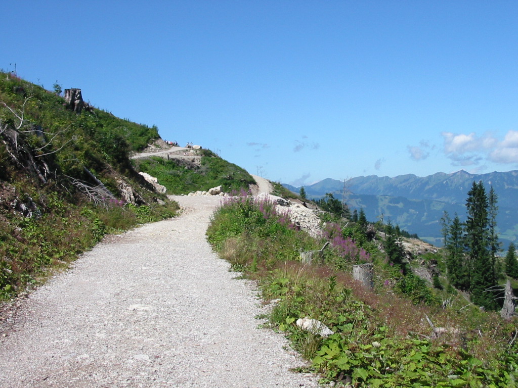
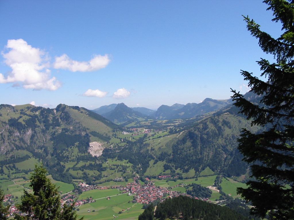
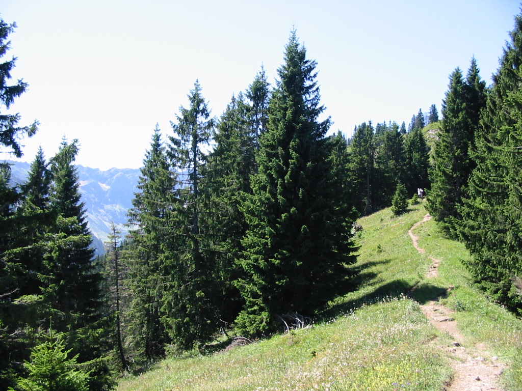
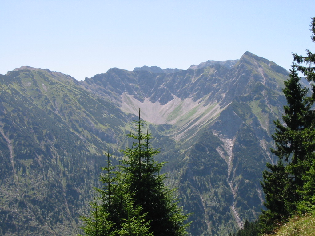
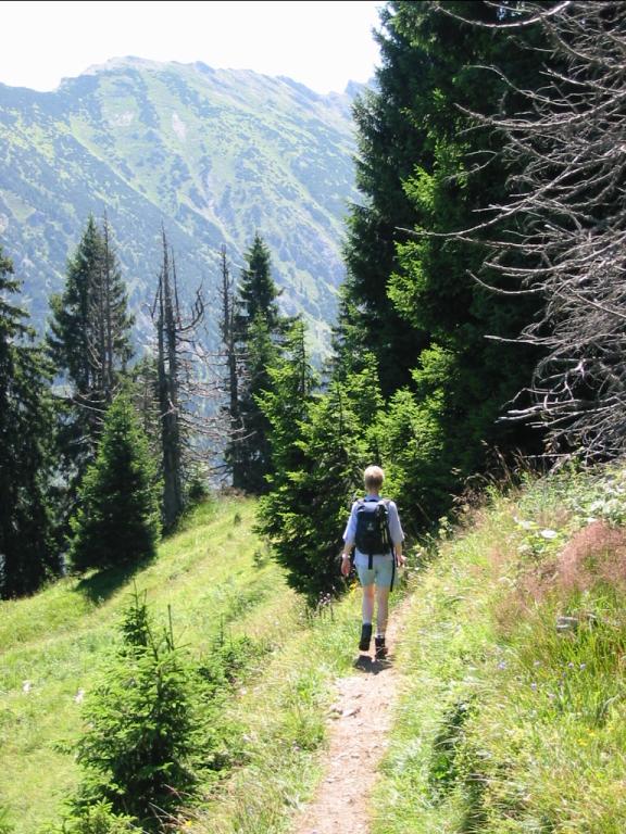
Photos
Important stuff
- If you want to share a group ticket let me know!
- You should definitely check the weather!
- For my peace of mind, some conditions apply!