
Date
02/11/2008
Journey there
| Meet Hauptbahnhof | 08:30 | (Meet under departure board, platforms 25-26) |
| Dep. Hauptbahnhof | 08:42 | |
| Arr. Tegernsee | 09:43 | |
| Dep. Tegernsee | 09:50 | bus 9556 direction Kreuth |
| Arr. Wildbad Kreuth | 10:25 |
Hike start point
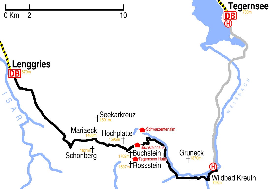
Hike map
Hike map in other formats
![]()
Hike description
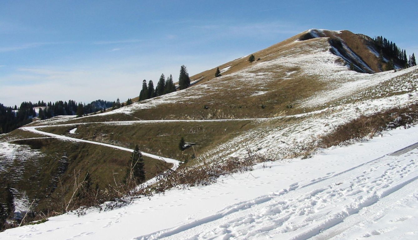
- From Wildbad Kreuth busstop (793m), go south for about 500m, cross the stream, go west for 2Km on the K10 path, and turn north over the road and the stream (c.800m).
- Go north for 4Km in the direction of Schwarzentennalm, staying on the left side of the Schwarzenbach stream, until the left fork (c.1000m) in the direction of Buchstein.
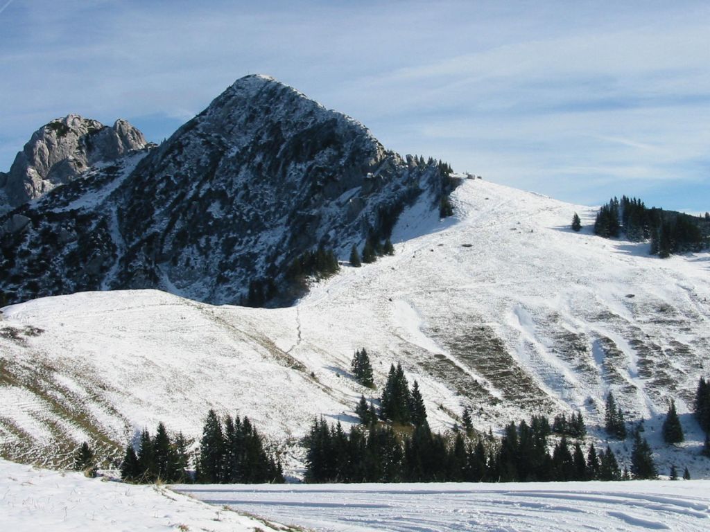
- Follow the path west for 3Km as it zig-zags up Buchstein, and crosses back and forth over the gravel track, as far as Buchsteinhaus (1260m).
- Climb west through the forest for 1Km to Roßsteinalm (1450m).
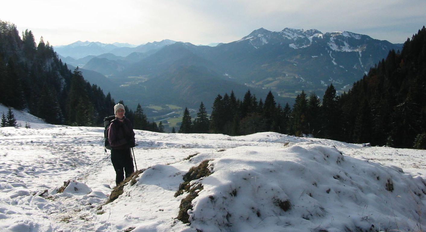
- Go east for 4Km on a fairly level route, first with Hochplatte on the right, and then directly under Schoenberg on the left to Mariaeck (1468m).
- Finally follow the path for 11Km down to Lenggries (679m).
Hike end point
Afterwards
We’ll eat at Der Altwirt in Lenggries. (Please try to make it for the meal – it’s the best part of the day!)
Journey back
| Dep. Lenggries | 16:21 | 17:00 | 17:21 | 18:00 | 18:21 | 19:21 | 20:21 | 21:21 | 22:21 |
| Arr. Hauptbahnhof | 17:29 | 18:11 | 18:29 | 19:09 | 19:29 | 20:29 | 21:29 | 22:29 | 23:29 |
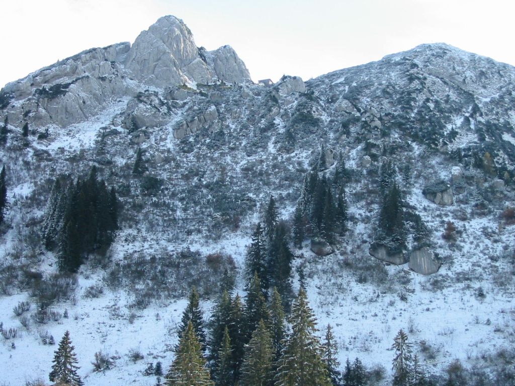
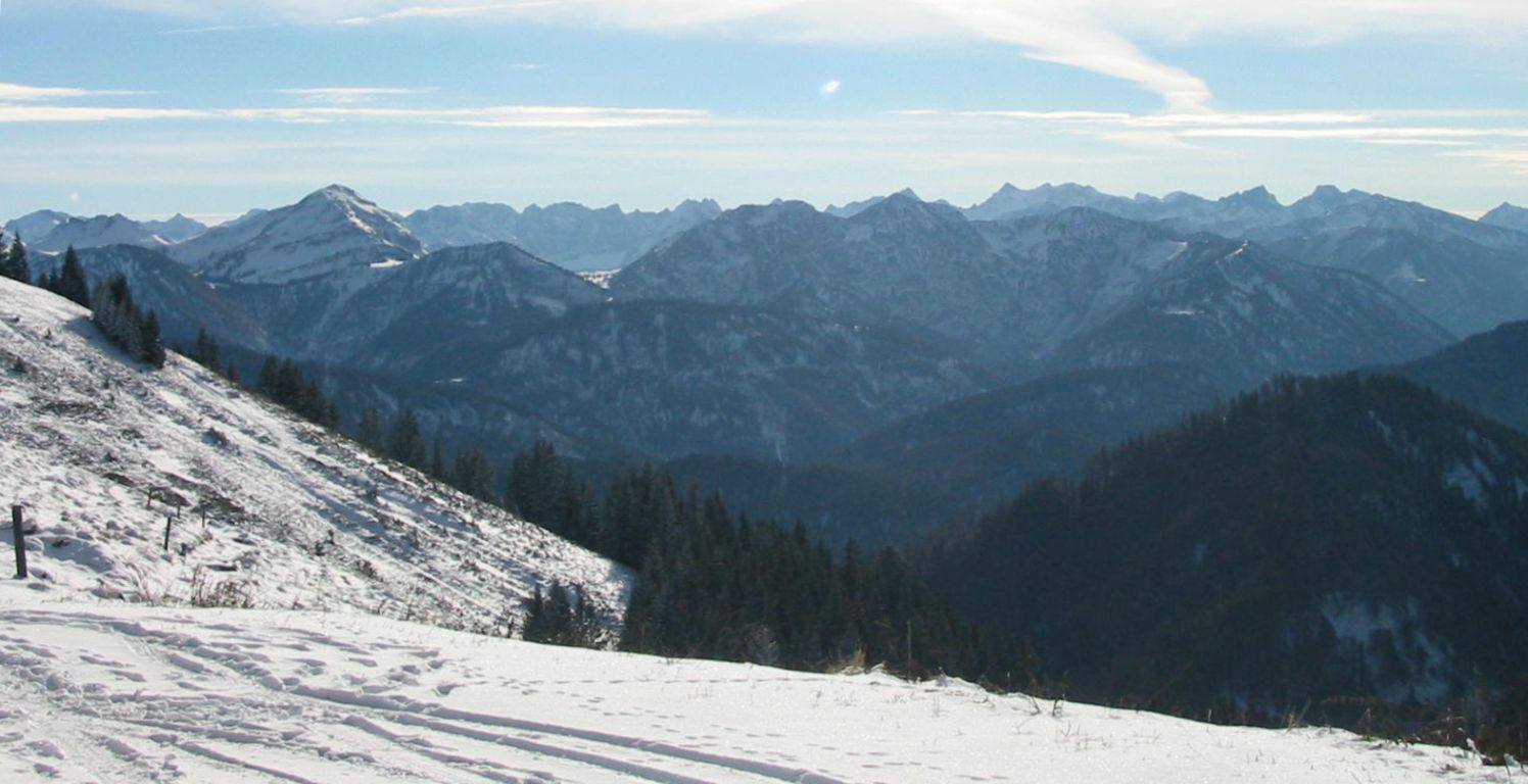
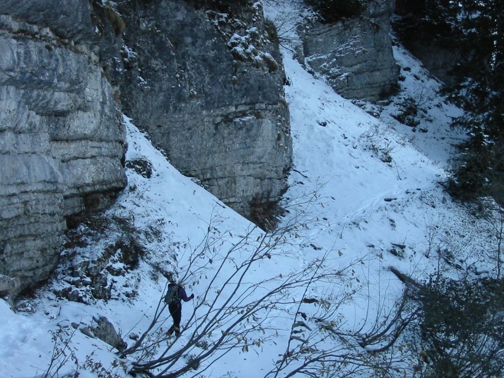
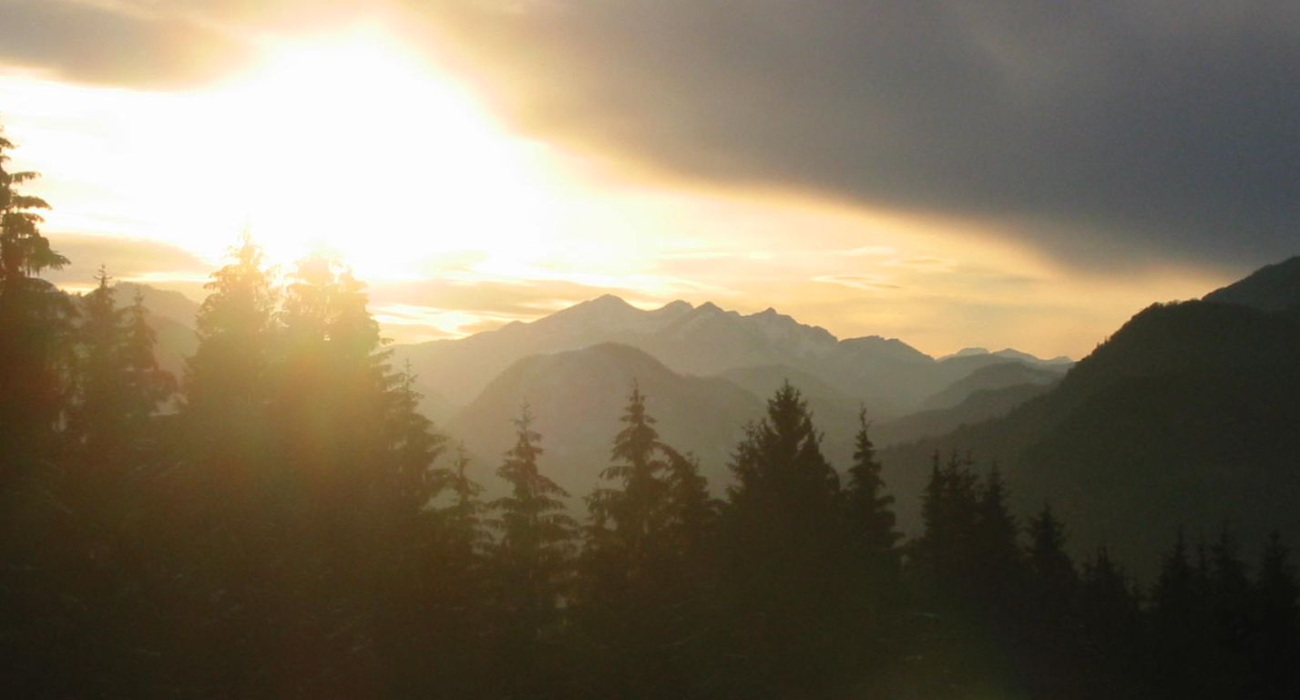
Photos
Important stuff
- If you want to share a group ticket let me know!
- You should definitely check the weather!
- For my peace of mind, some conditions apply!