
Date
30/01/2011
Journey there
| Dep. Alte Heide | 08:47 | (via Marianplatz, arrives Bhf 09:03) |
| Meet Hauptbahnhof | 09:15 | (meet before under departure board by platforms 25-26, after on train) |
| Dep. Hauptbahnhof | 09:30 | (platform 34) |
| Arr. Lenggries | 10:39 |
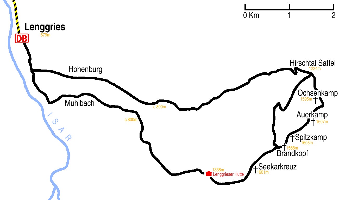
Hike start point
Hike map
Hike map in other formats
![]()
Hike description
- From the station (679m) follow the Isar south for 1Km and then turn east for 1Km past Hohenburg.
- At the Muhlbach crossroads turn south. 500m further on take the south-east fork following the Muhlbach stream.
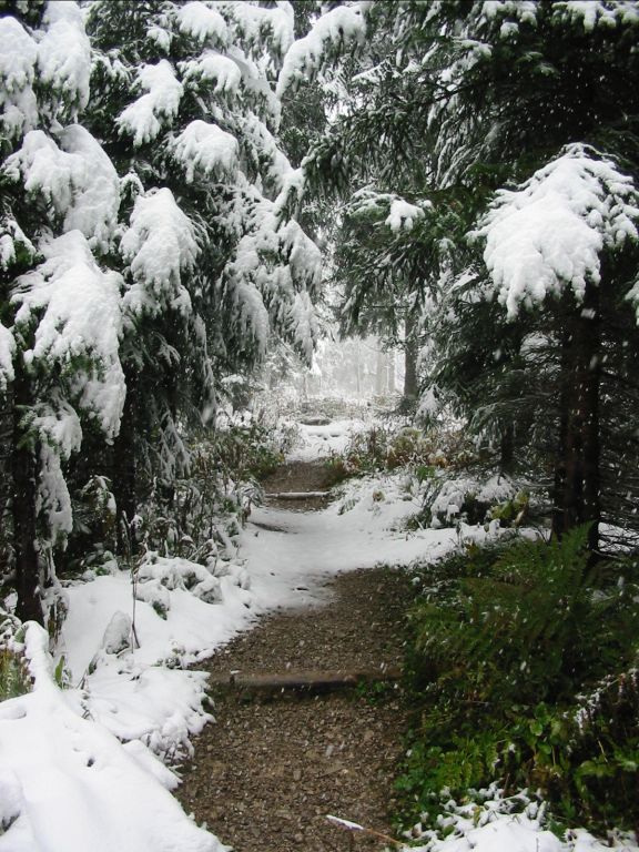
- 500m further on the footpath splits from the main track and then it is a 5Km walk up through the woodland to the Lenggreiser Hutte (1338m).
- Take the south fork, which turns east and climbs 2Km through woodland to Seekarkreuz (1601m), about 500m further on the path forks.
- The north fork – and the one to take if there is snow – descends over 4Km to Hirschtalsattel (1224m).
- The east fork stays around the same height crossing several small peaks before descending much more steeply to Hirschtalsattel.
- From Hirschtalsattel it is a straightforward 10Km gentle descent west back to the Muhlbach crossroads.
Hike end point
Afterwards
We’ll eat at Der Altwirt in Lenggries. (Please try to make it for the meal – it’s the best part of the day!)
Journey back
| Dep. Lenggries | 15:50 | 16:25 | 16:50 | 17:25 | 17:50 | 18:50 | 19:50 | 20:50 | 21:50 | 22:50 |
| Arr. Hauptbahnhof | 16:57 | 17:34 | 17:57 | 18:36 | 18:57 | 19:57 | 20:57 | 21:57 | 22:57 | 23:57 |
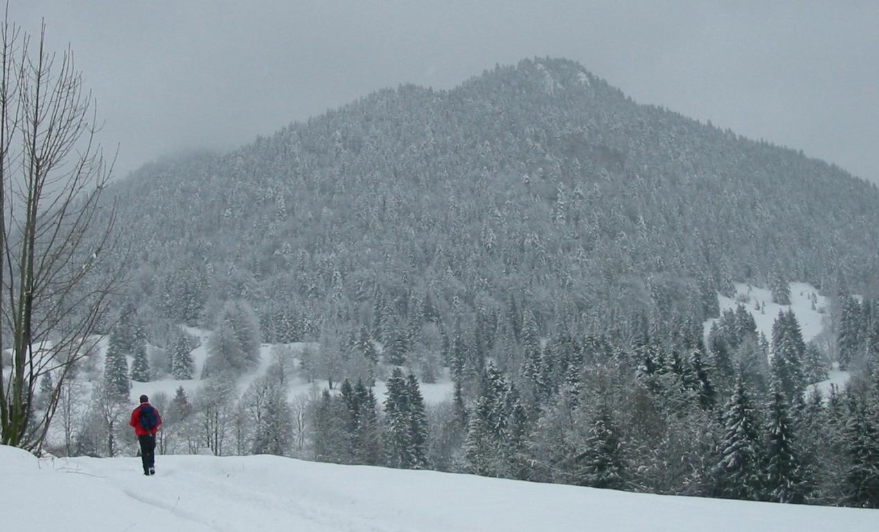
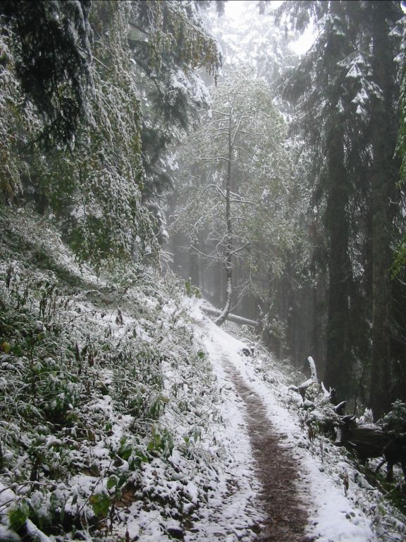
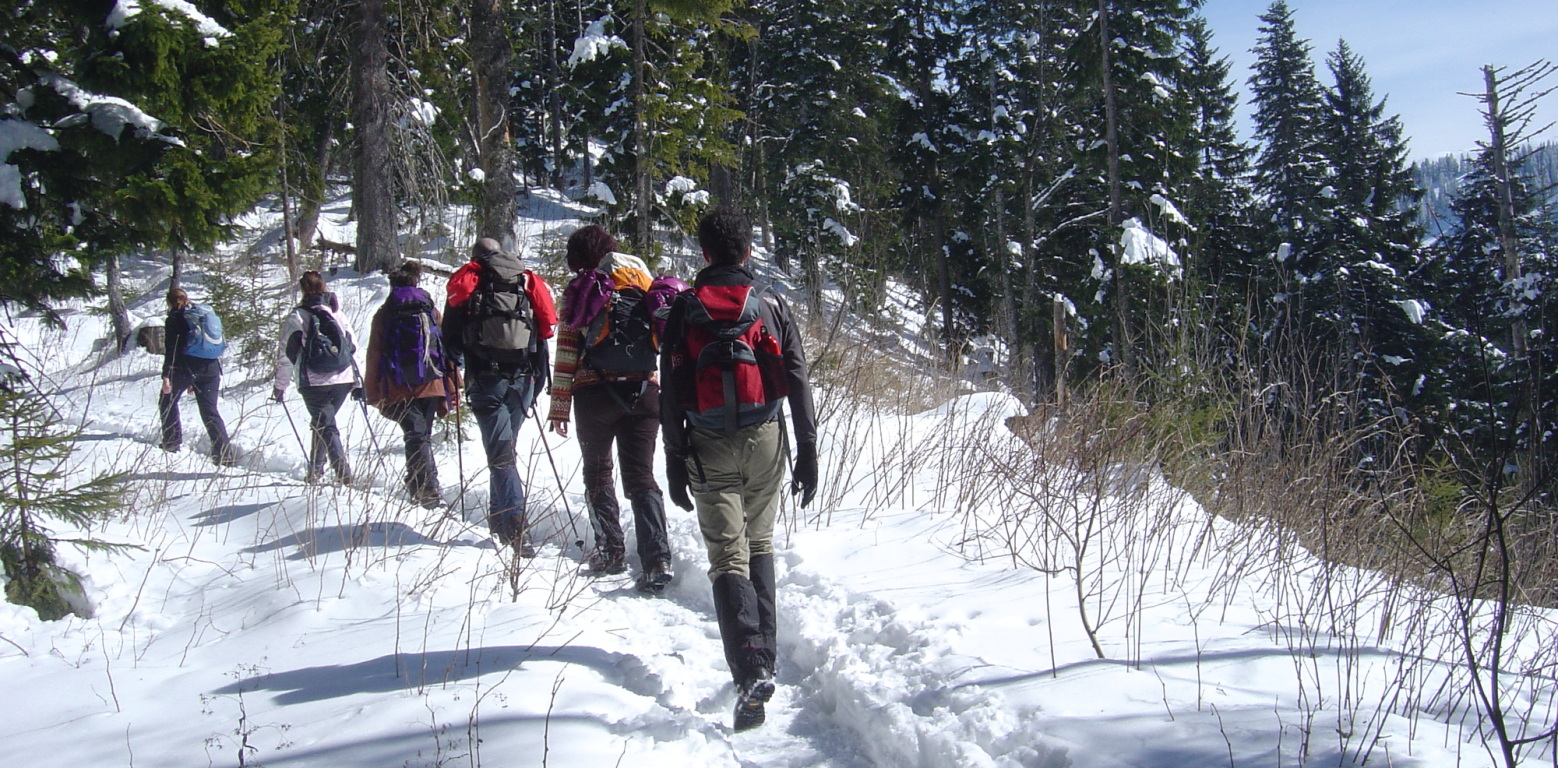
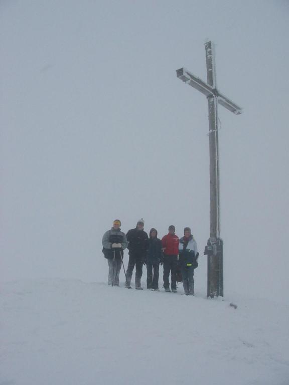
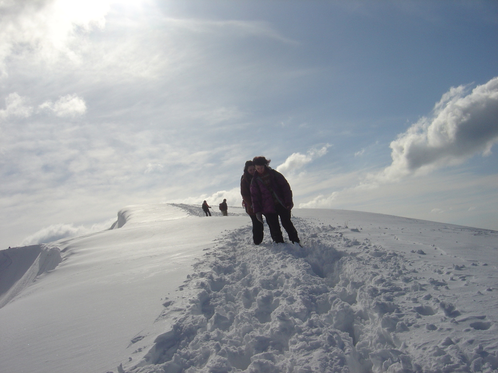
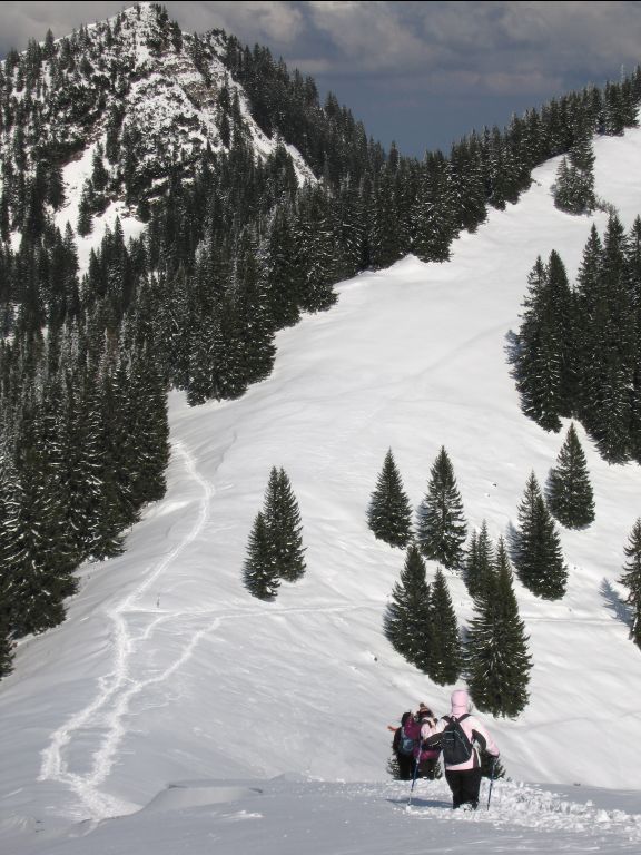
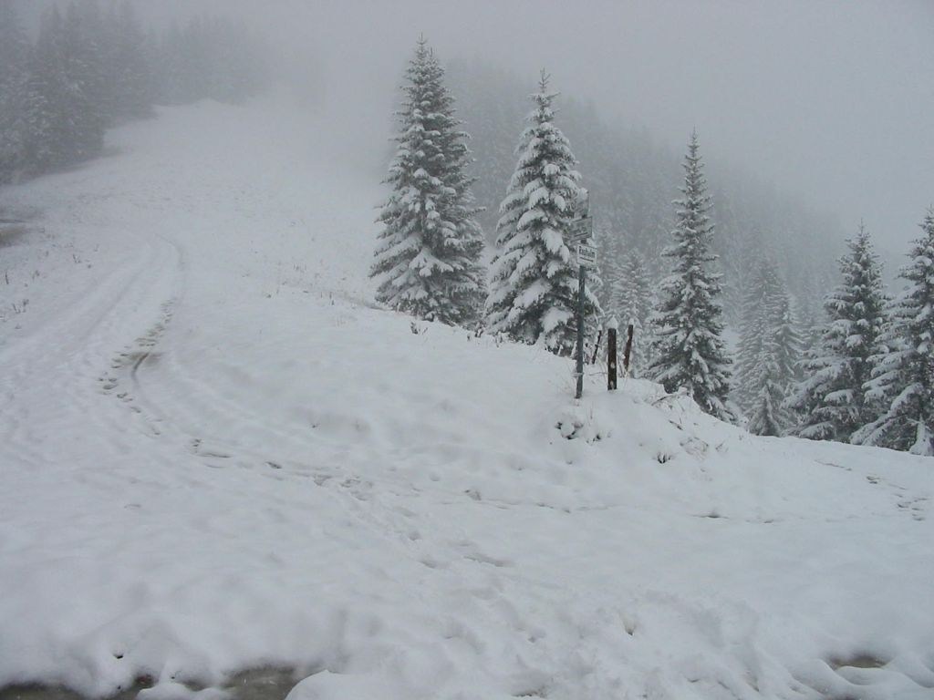
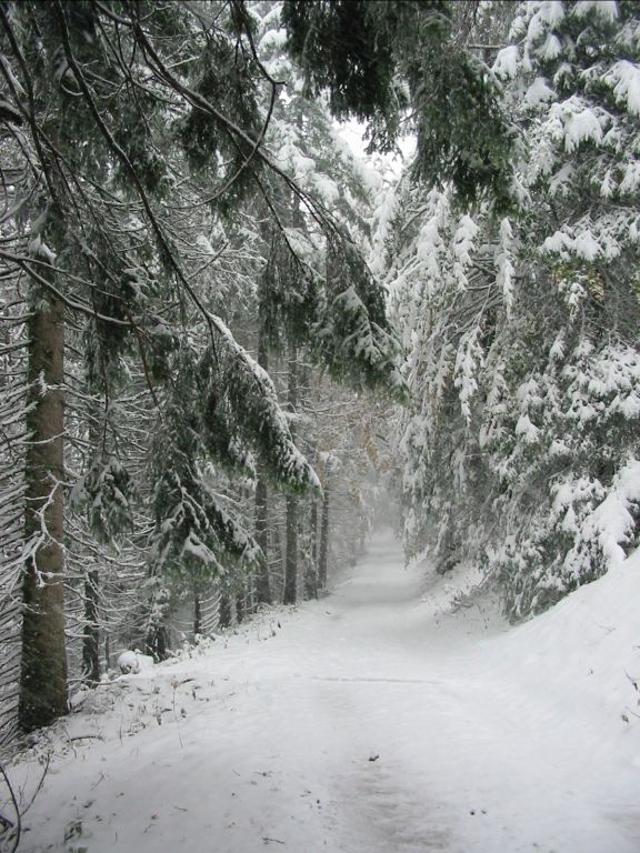
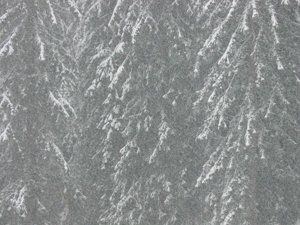
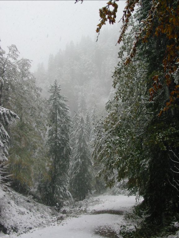
Photos
Important stuff
- If you want to share a group ticket let me know!
- You should definitely check the weather!
- For my peace of mind, some conditions apply!