
Date
05/07/2009
Journey there
| Dep. Alte Heide | 08:57 | (via Marienplatz) |
| Arr. Hauptbahnhof | 09:13 | |
| Meet Hauptbahnhof | 09:20 | (meet under departure board, platforms 25-26) |
| Dep. Hauptbahnhof | 09:32 | |
| Arr. Eschenlohe | 10:42 |
Hike start point
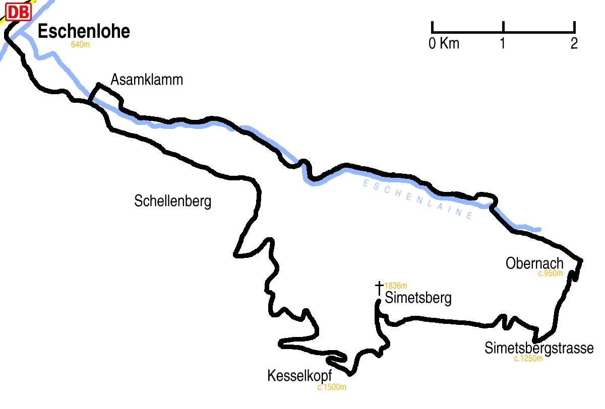
Hike map
Hike map in other formats
![]()
Hike description
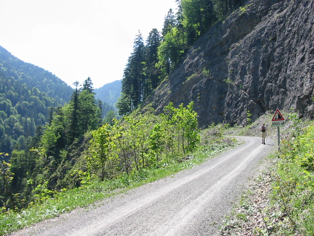
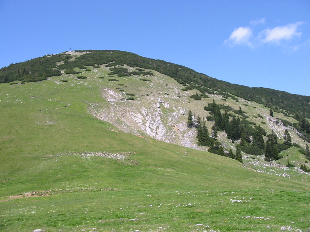
- From Eschenlohe (640m) 6Km south-east going across the bottom of Schellenberg, looking down over the Asamklamm.
- At the fork towards Krottenkopf (1100m) stay on the main track, which winds up the Kessellaine valley for about 4Km until it meets the Walchesee Steig path at Kesselkopf(1500m).
- Then 2km north-east up Simetsberg (1836m).
- Then a steep 3km descent east to the Simetsberger Strasse (1250m).
- From there a gentler 2km descent north to the main Eschenlainetal valley road (950m).
- Finally, a very gently 12km walk down the valley, returning via the Asamklamm again to Eschenlohe (640m).
Hike end point
Afterwards
We’ll eat at Zur Brücke in Eschenlohe. (Please try to make it for the meal – it’s the best part of the day!)
Journey back
| Dep. Eschenlohe | 17:19 | 18:19 | 19:18 | 20:18 | 21:18 | 22:18 | 23:18 |
| Arr. Hauptbahnhof | 18:27 | 19:27 | 20:27 | 21:27 | 22:26 | 23:26 | 00:27 |
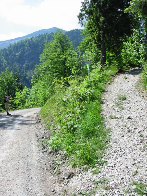
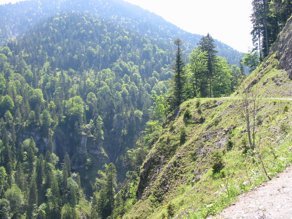
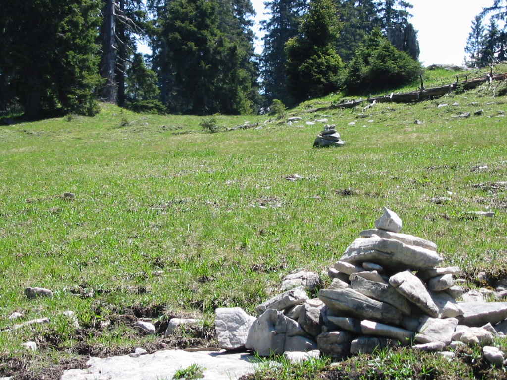
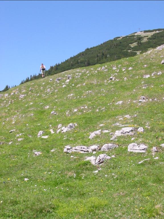
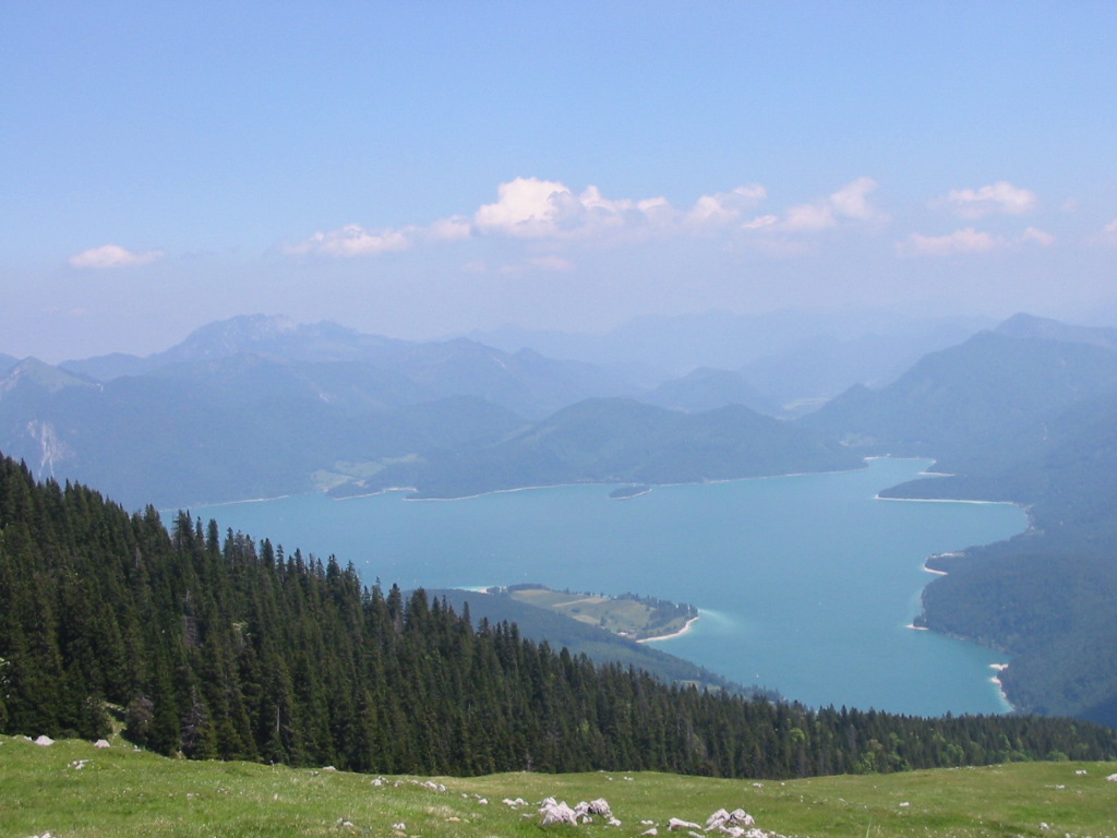
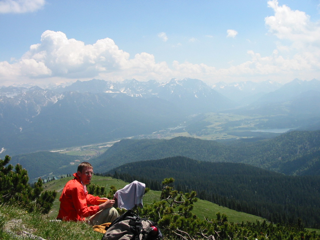
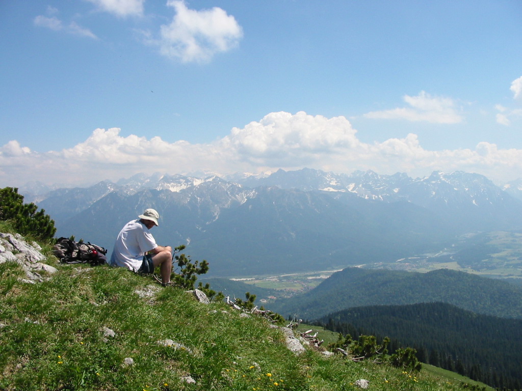
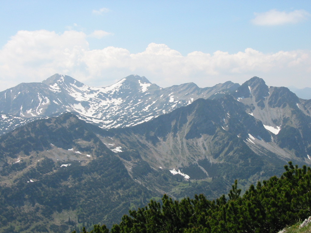
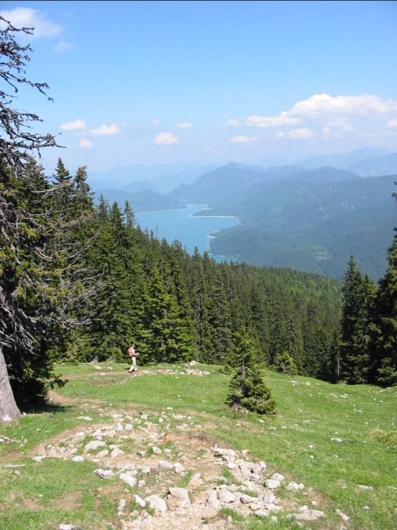
Photos
Important stuff
- If you want to share a group ticket let me know!
- You should definitely check the weather!
- For my peace of mind, some conditions apply!