
Date
20/12/2008
Journey there
| Dep. Ismaning | 08:56 | |
| Arr. Hauptbahnhof | 09:23 | |
| Meet Hauptbahnhof | 08:30 | (Meet under departure board, platforms 25-26) |
| Dep. Hauptbahnhof | 09:42 | |
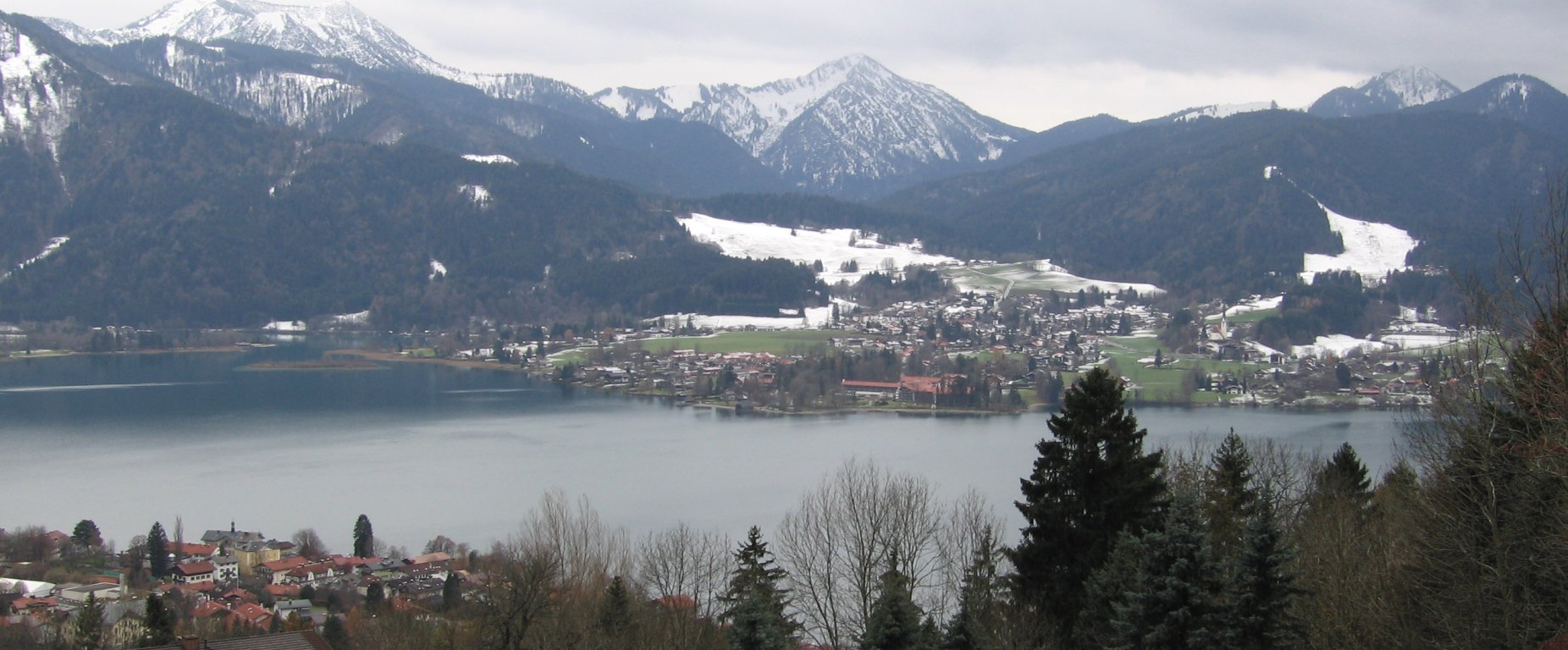
| Arr. Tegernsee | 10:43 |
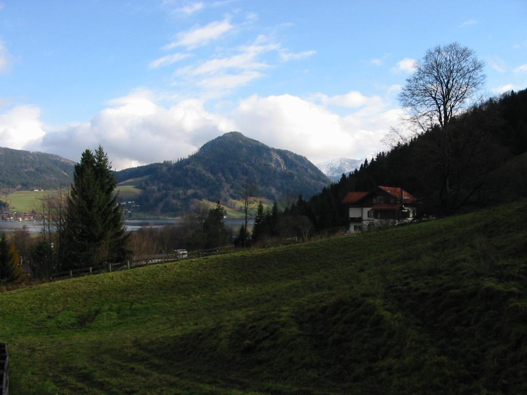
Hike start point
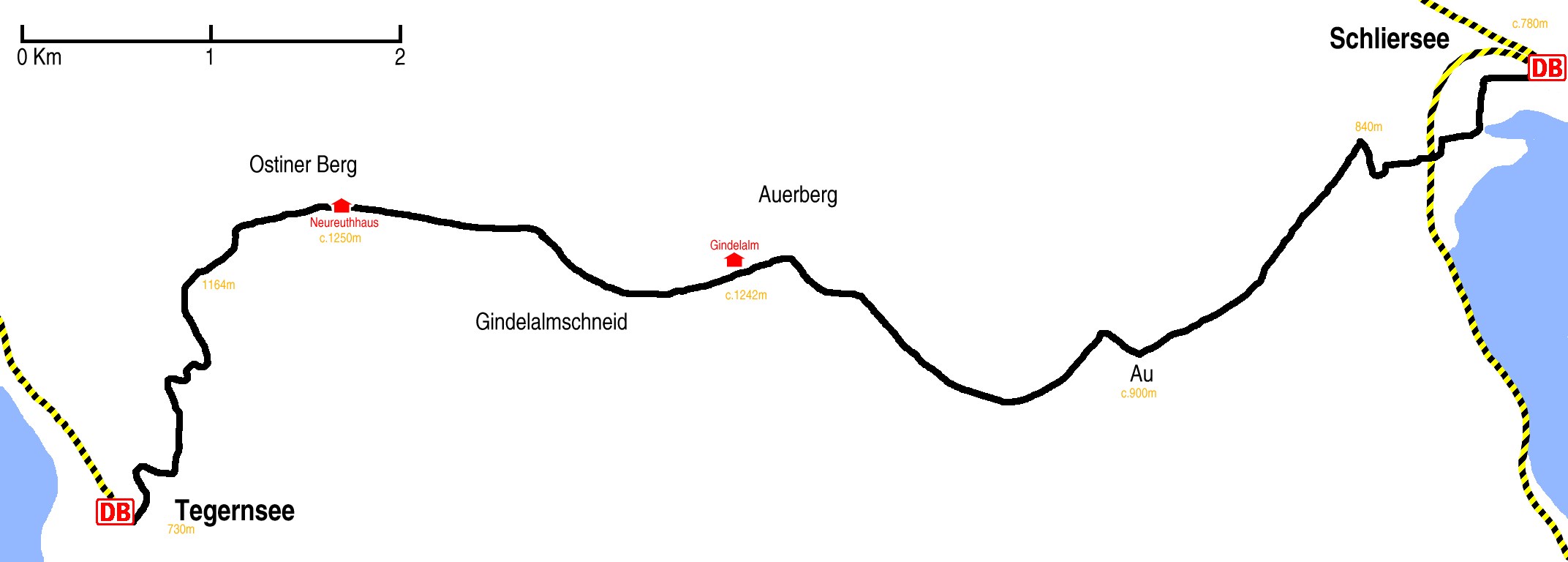
Hike map
Hike map in other formats
![]()
Hike description
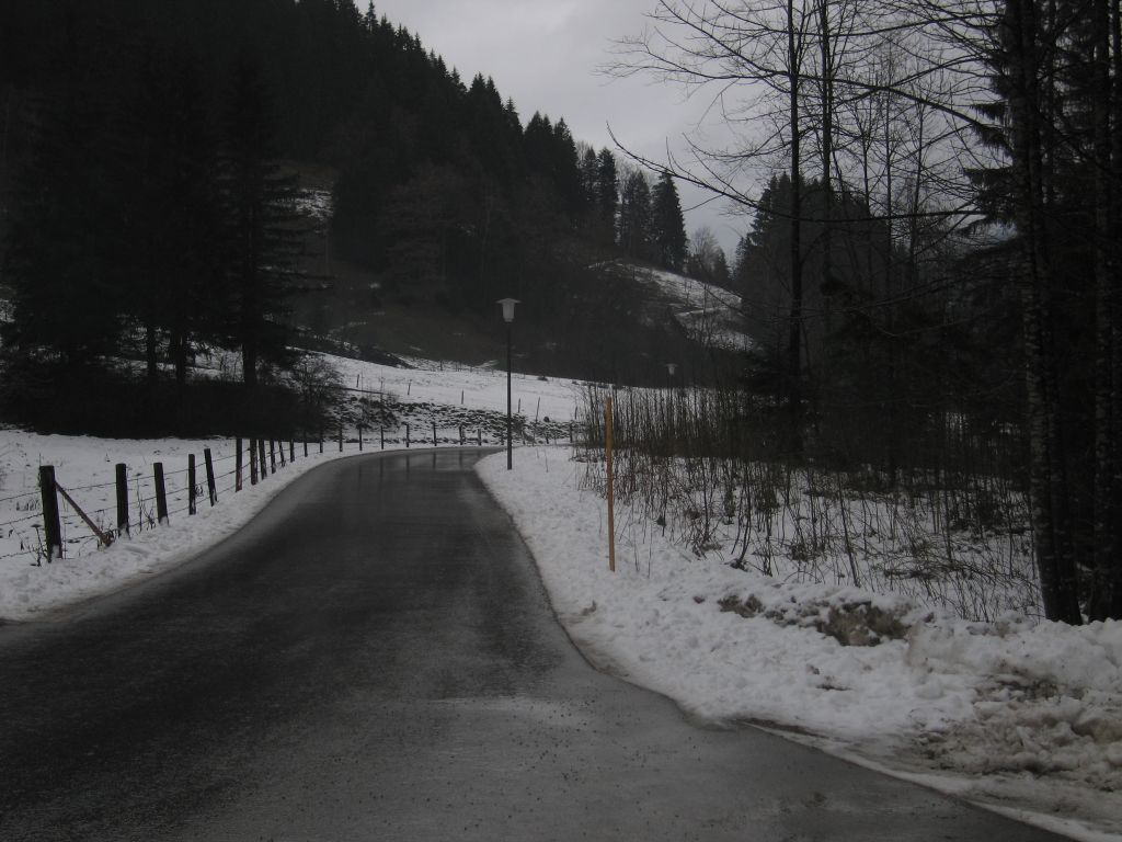
- From Tegernsee Bahnhof (730m) walk to the end of the station road and turn left, north east (not up the road parallel to the railway line).
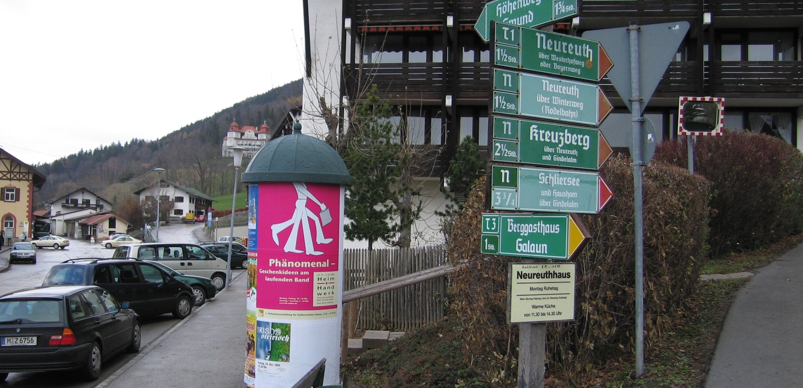
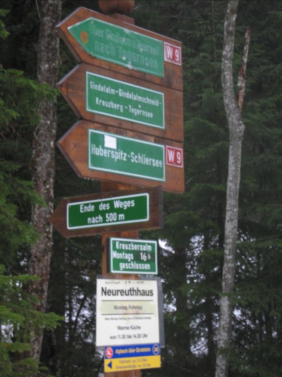
- Follow the path as it does a U-turn to the right over about 500m, then branch left off the path, heading north, towards Neureuthhaus and Ostiner Berg; it is well sign-posted.
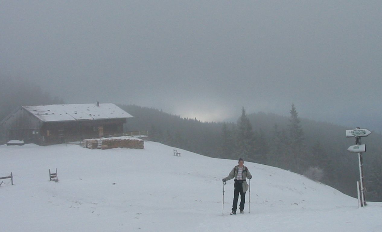
- Then it’s 7Km east along the Gindelalmweg ridge (a.k.a. E4) via Neureuthhaus (1264m) to Gindelalm (1242m).
- The 5Km east along the Breitenbach valley (a.k.a. E4) via Au (c.900m) to the Schwaig bus stop (840m).
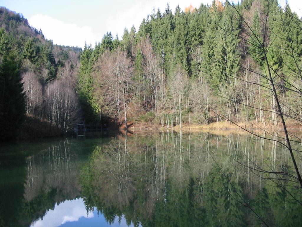
- Following the signposts for the Ortsmitte, turn right, 2Km past the camping site, once over the railway bridge take a sharp left turn, past the Freudenberg football ground, and at the lake turn left and follow it round to Schliersee Bahnhof (c.780m).
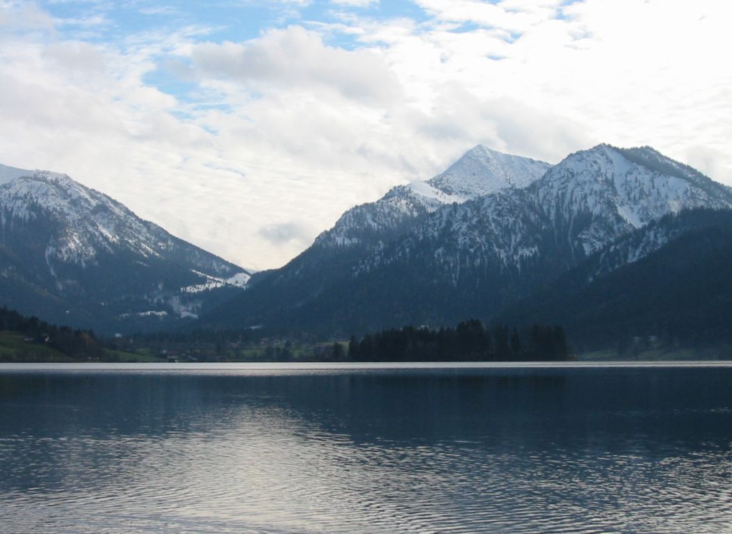
Hike end point
Afterwards
We’ll eat at the Ratskeller in Schliersee. Please try to make it for the meal – it’s the best part of the day!)
Journey back
| Dep. Schliersee | 16:35 | 17:35 | 18:35 | 19:35 | 20:35 | 21:35 | 22:35 |
| Arr. Hauptbahnhof | 17:29 | 18:29 | 19:29 | 20:29 | 21:29 | 22:29 | 23:29 |
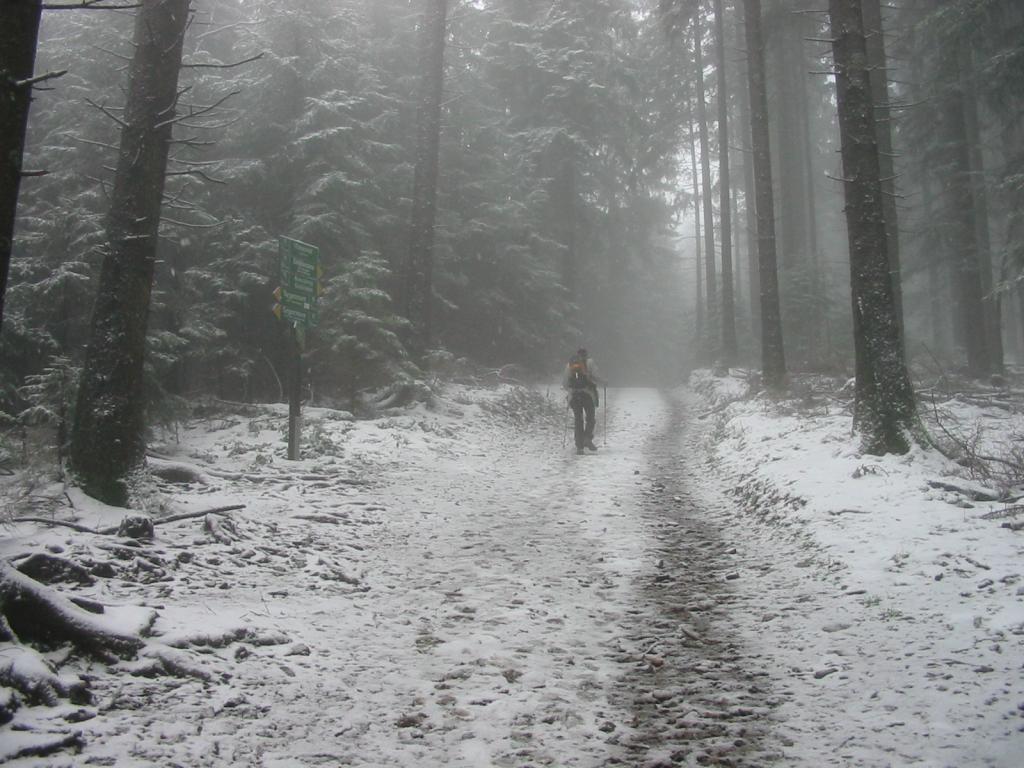
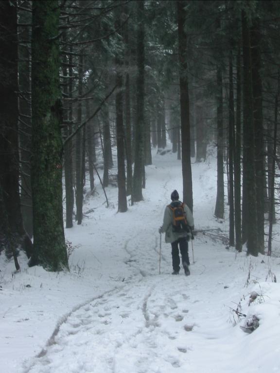
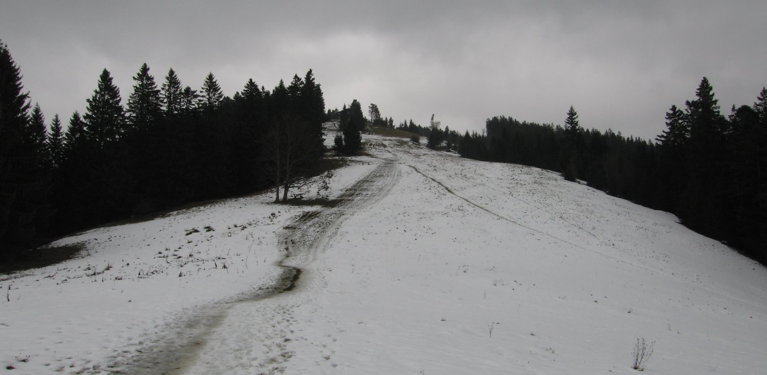
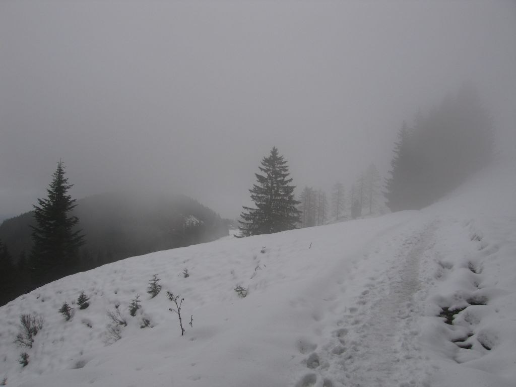
Photos
Important stuff
- If you want to share a group ticket let me know!
- You should definitely check the weather!
- For my peace of mind, some conditions apply!