
Date
16/11/2008
Journey there
| Dep. Ismaning | 07:56 | |
| Arr. Hauptbahnhof | 08:23 | |
| Meet Hauptbahnhof | 08:30 | (Meet under departure board, platforms 25-26) |
| Dep. Hauptbahnhof | 08:42 | |
| Arr. Tegernsee | 09:43 | |
| Dep. Tegernsee | 09:50 | bus 9556 direction Kreuth |
| Arr. Kreuth | 10:20 |
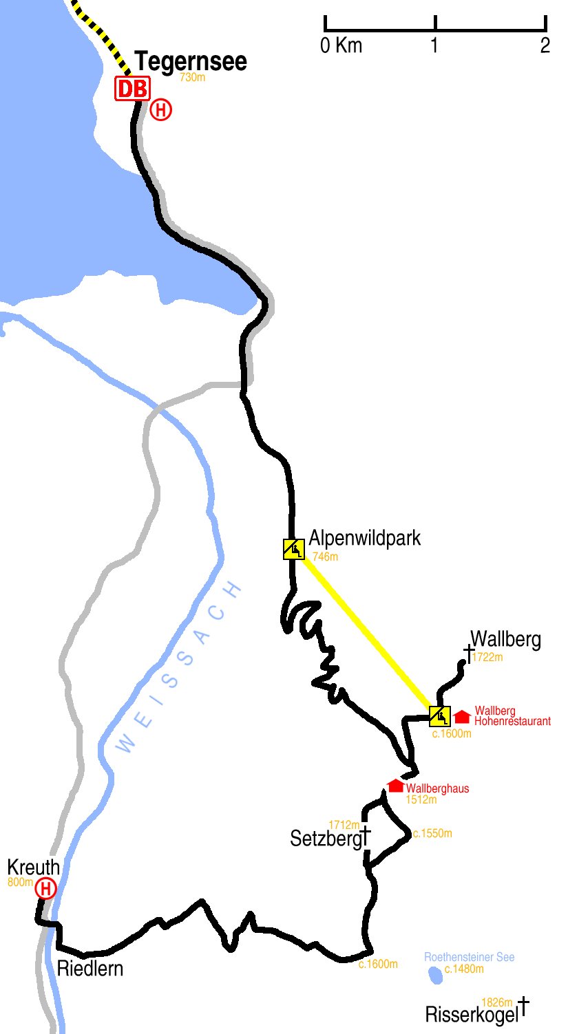
Hike start point
Hike map
Hike map in other formats
![]()
Hike description
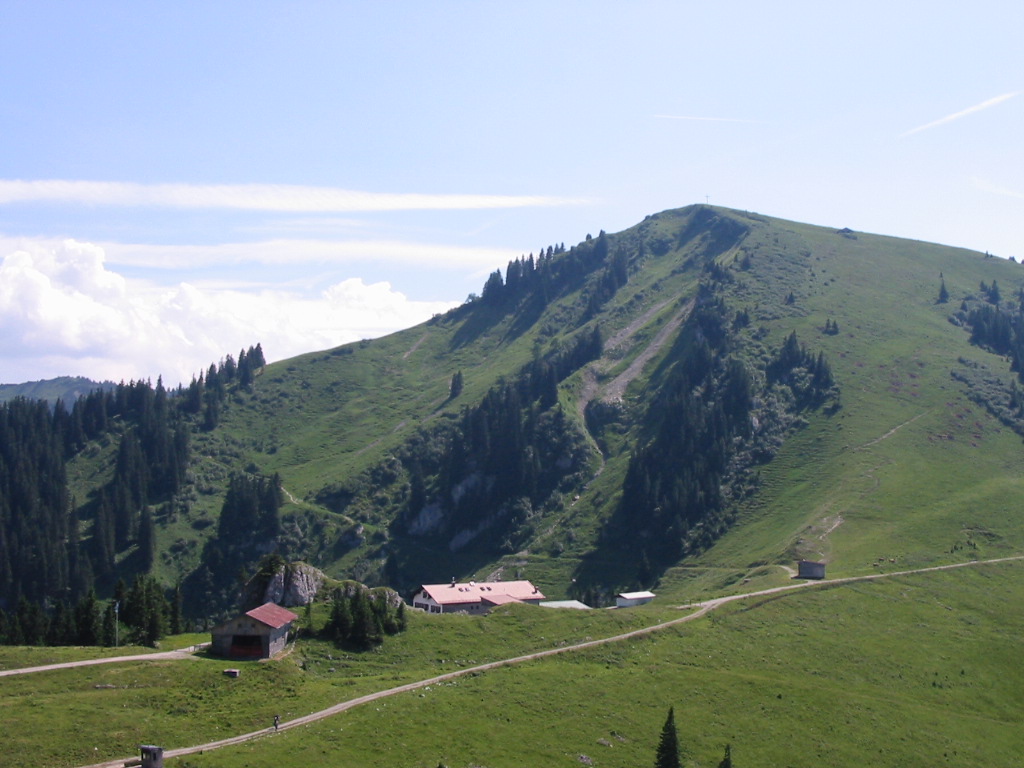
- From Riedlern, (800m) 5Km east along the occassionally badly signed WB1 path to the middle of the C-shaped Risserkogel-Wallberg ridge (c.1600m).
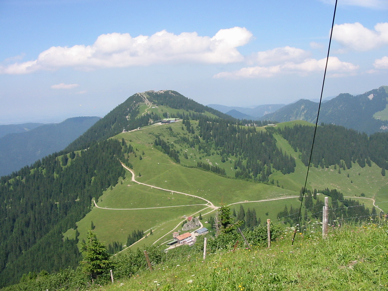
- Then following the ridge north either 2Km over Setzberg (1712m), or 3Km around Setzberg.
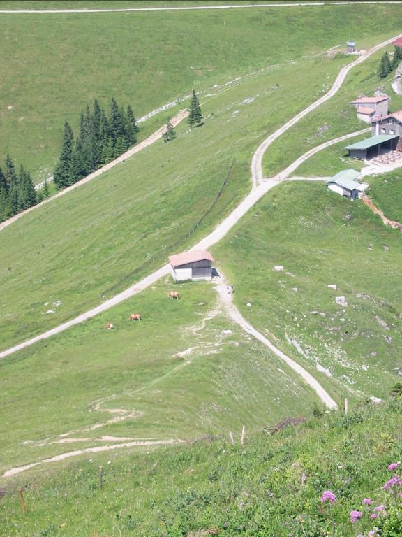
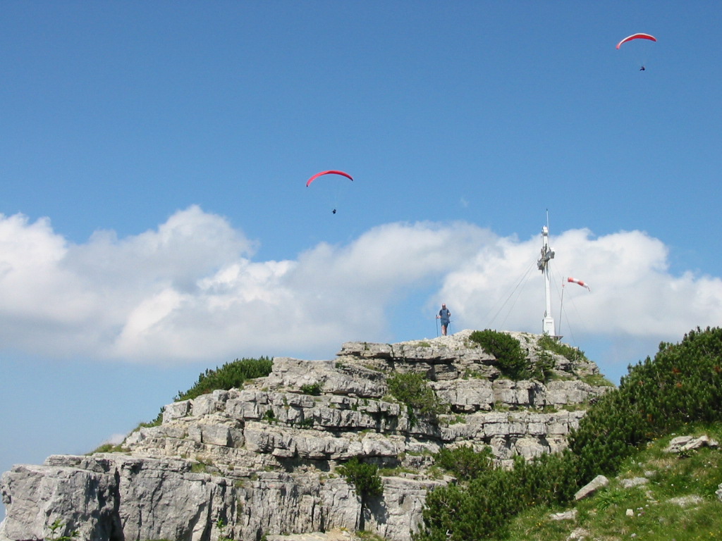
- Then 3Km north-east crossing a saddle (200m down, 200m up), past two hüttes, to Wallberg (1722m).
- Then, possibly, retracing 2km to the middle point of the saddle, with a chance to stop for radlers, and descending north-west 4Km to Alpenwildpark (746m).
- Or, alternatively, retracing the path only as far as the Talstation and taking the lift down to Alpenwildpark.
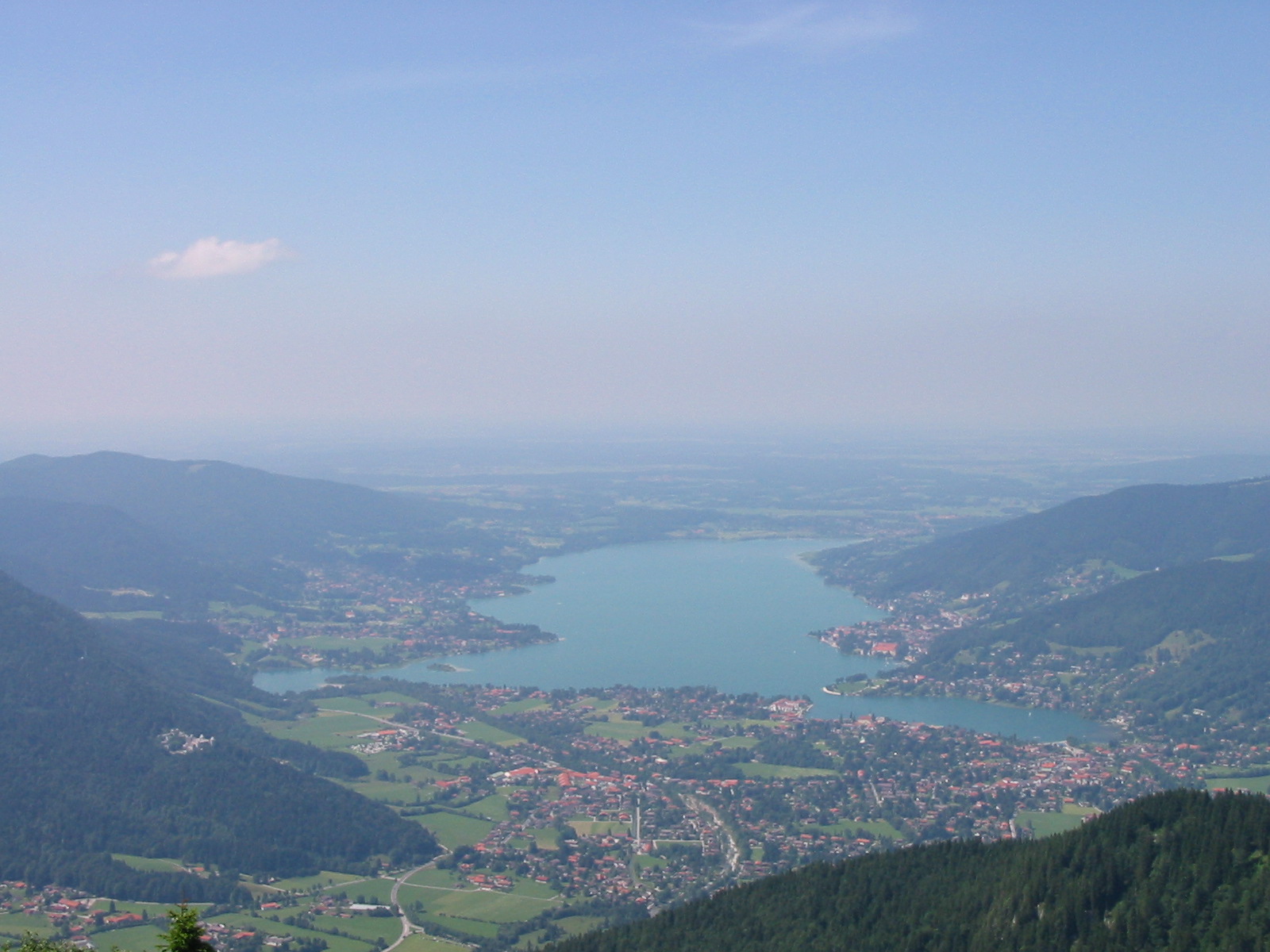
- Finally 2Km north to the edge of the Tegernsee, and 3km north-west along the edge of the lake to Tegernsee station.
Hike end point
Afterwards
We will eat at in Tegernsee. (Please try to make it for the meal – it’s the best part of the day!)
Journey back
| Dep. Tegernsee | 16:27 | 17:27 | 18:27 | 19:27 | 20:27 | 21:27 | 22:27 |
| Arr. Hauptbahnhof | 17:29 | 18:29 | 19:29 | 20:29 | 21:29 | 22:29 | 23:29 |
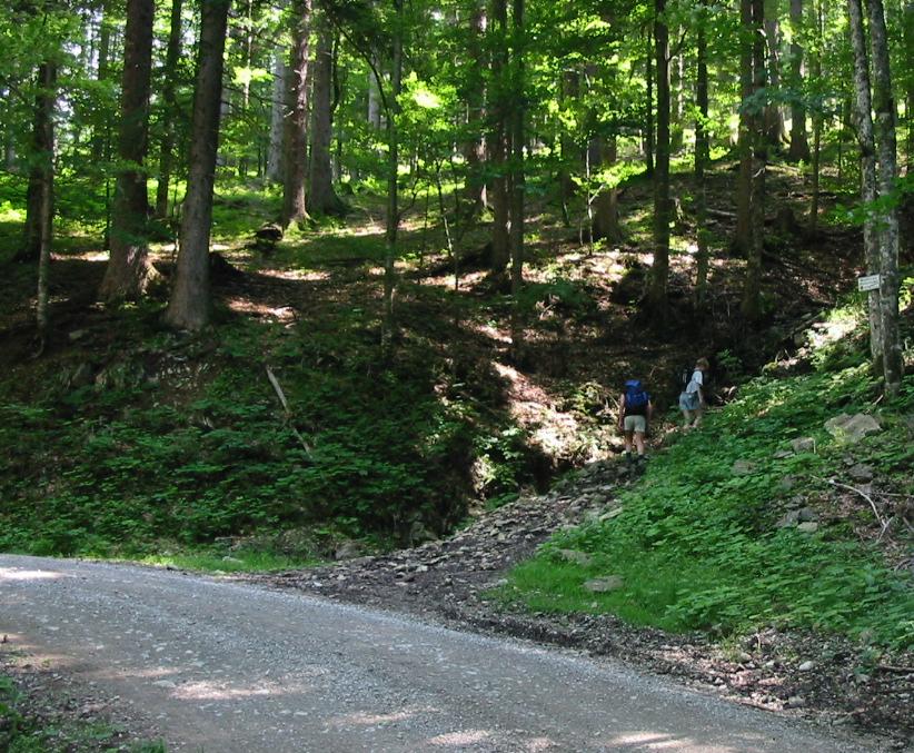
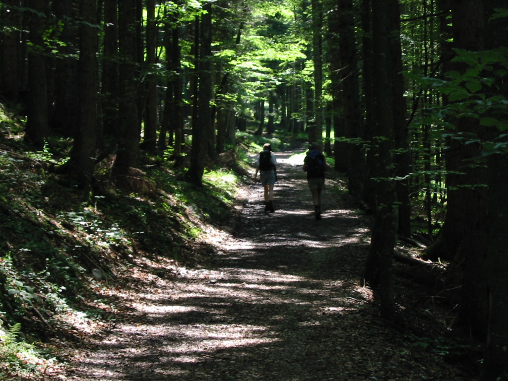
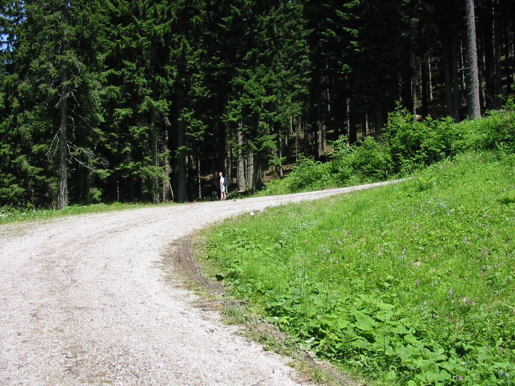
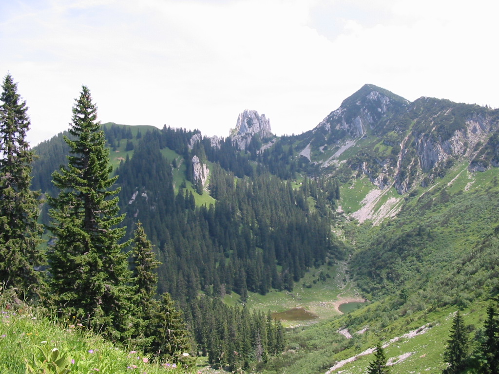
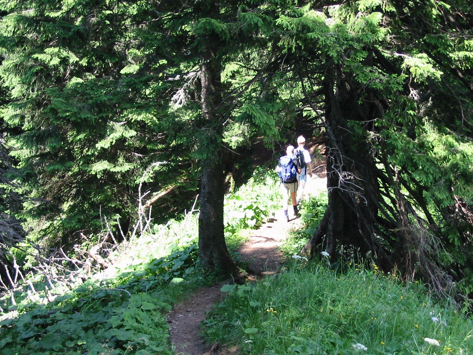
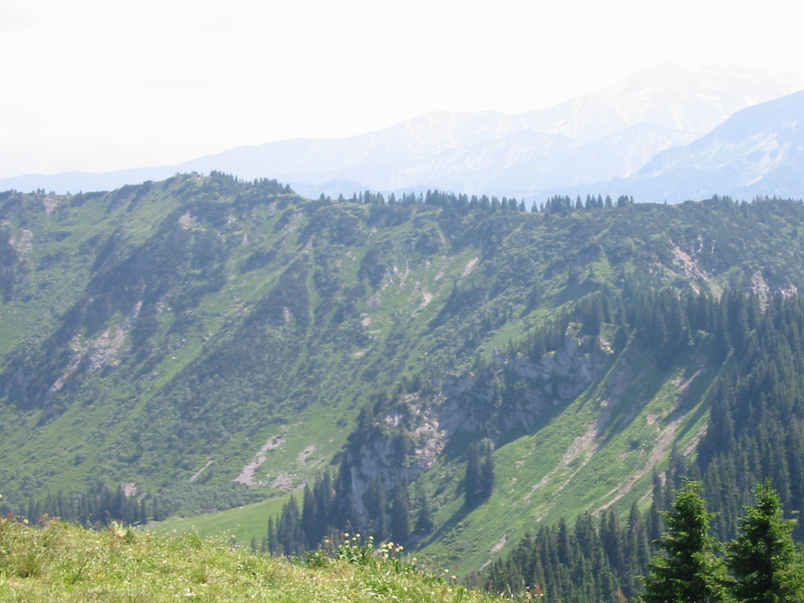
Photos
Important stuff
- If you want to share a group ticket let me know!
- You should definitely check the weather!
- For my peace of mind, some conditions apply!