
Date
25/05/2003
Journey there
| Dep. Maierleibnitzstr | 07:49 | (Meet at bus-stop) |
| Arr. Hauptbahnhof | 08:40 | (Meet under departure board, platforms 25-26) |
| Dep. Hauptbahnhof | 09:11 | |
| Arr. Garmisch-Partenkirchen | 10:50 |
Hike start point
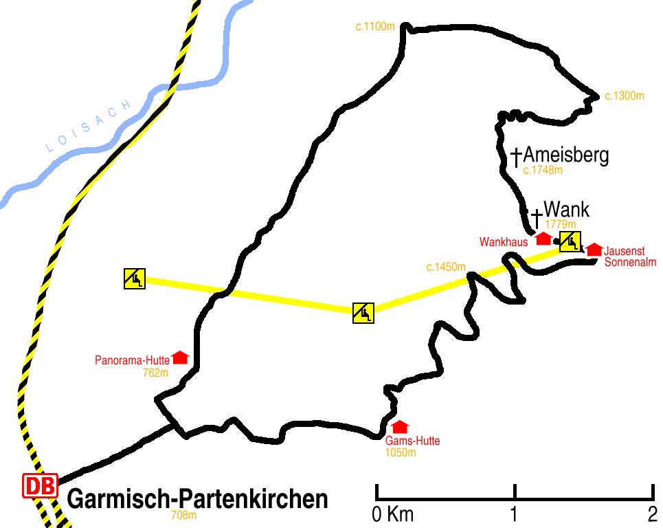
Hike map
Hike map in other formats
![]()
Hike description
- From Garmisch-Partenkirchen Bahnhof (708m) walk 1Km north-east, over the crossroads, to the T-junction.
- Turn left and walk 300m, and turn right towards St. Anton, Panorama-Hütte and the K6 to Esterbirgalm.
- Then walk 6Km on the K6/W1/W13, first north-east and then south-east until the W3 splits from the W1 (c.1250m).
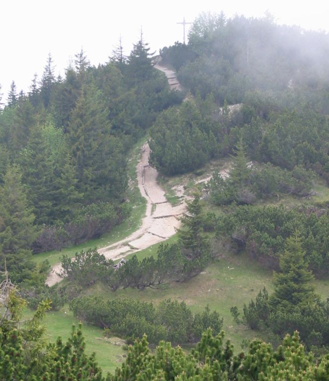
- Head south-east for 1Km, and then turn south-west on W3/413/15 towards Wank.
- Then go 3Km south-east and south on this path to Wank (1779m) and a further 1Km to Jausenst Sonnenalm Hütte (c.1750m).
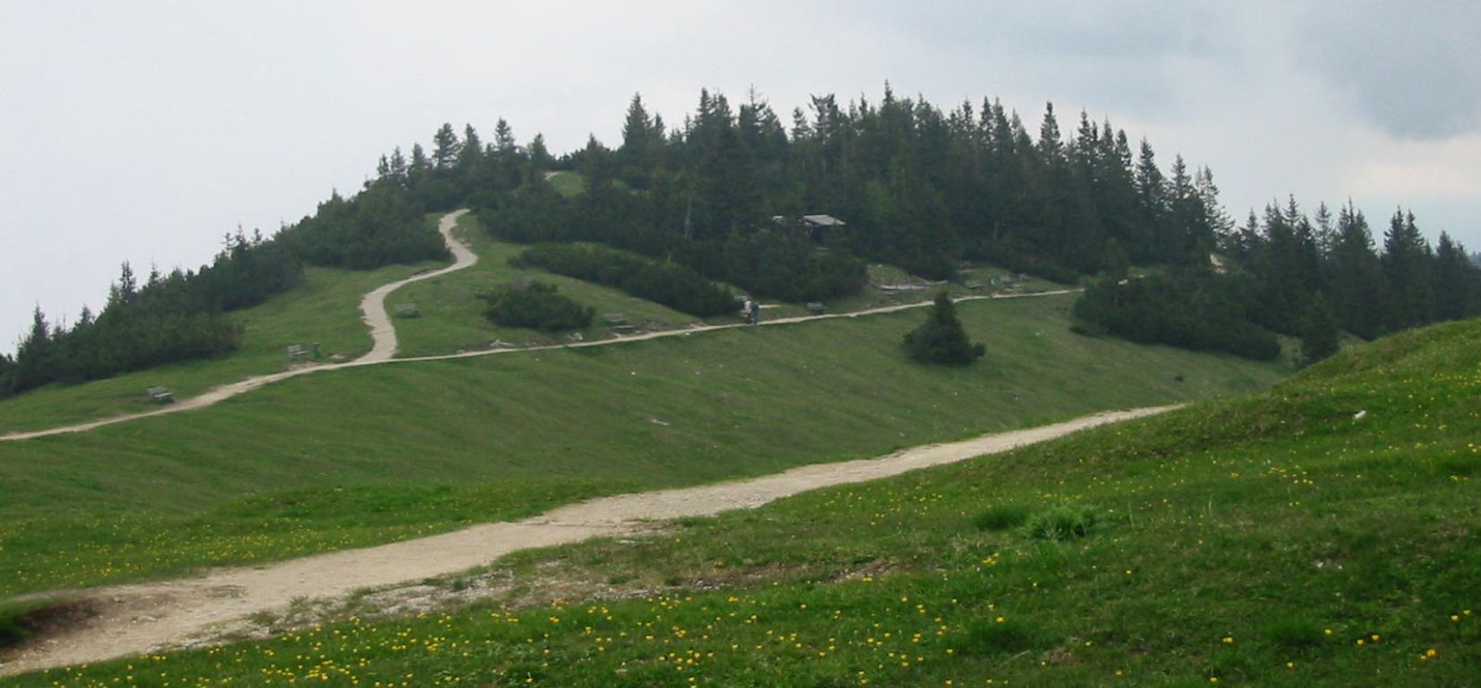
- Then head east for 500m to join the W5, and then follow the path 5Km down zigzagging under the lift to Gams-Hütte (1050m).
- Take the south path for 2Km back to the road (c.760m).
- Then it is 2Km back to the bahnhof.
Hike end point
Afterwards
We’ll eat at Zum Wildschütz. From the south-west side of the main railway line, it is a few blocks away at Bankgasse 9. (Please try to make it for the meal – it’s the best part of the day!)
Journey back
| Dep. Garmisch-Partenkirchen | 19:08 | 20:08 | 21:17 | 22:49 |
| Arr. Hauptbahnhof | 20:47 | 21:49 | 22:49 | 00:08 |
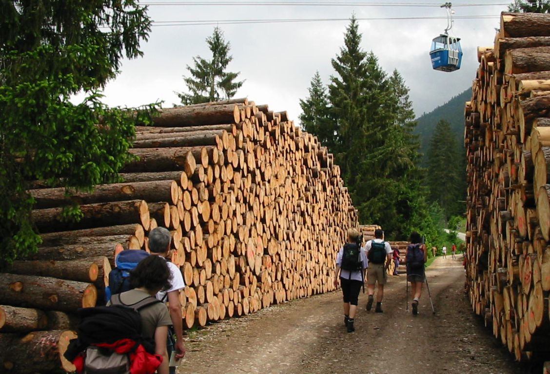
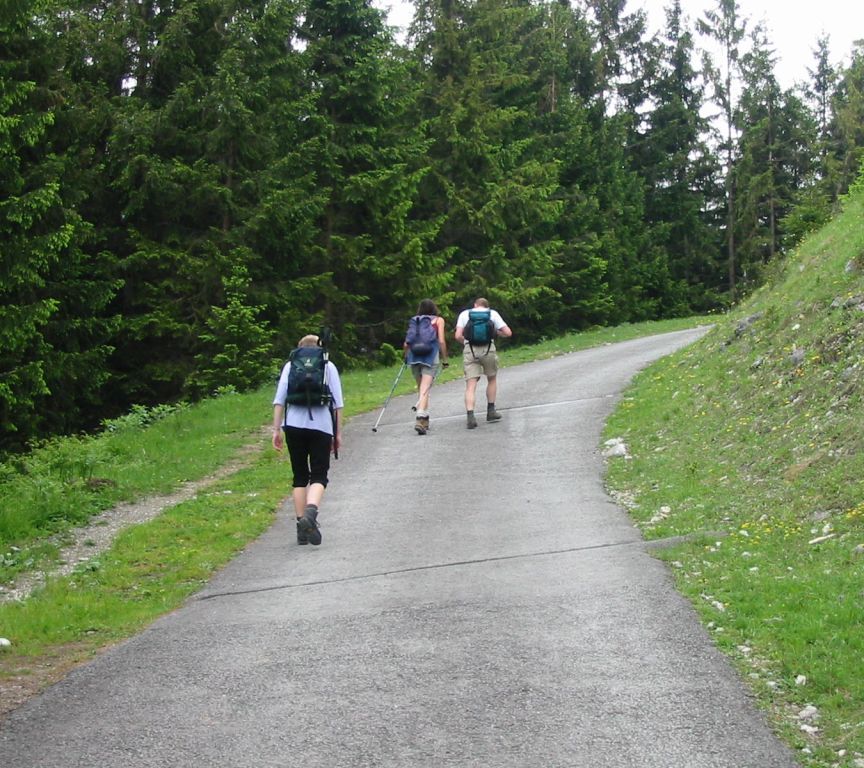
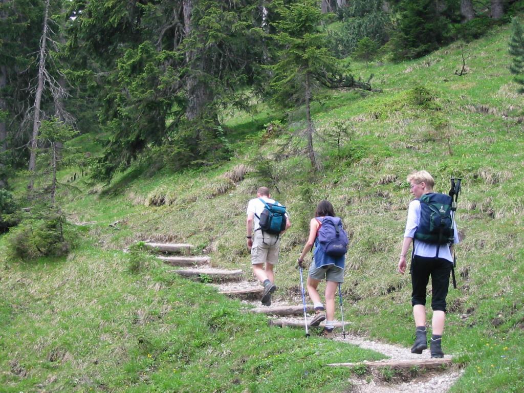
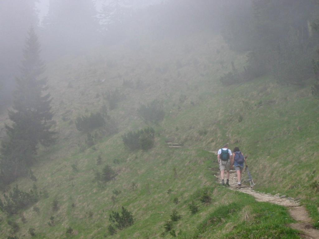
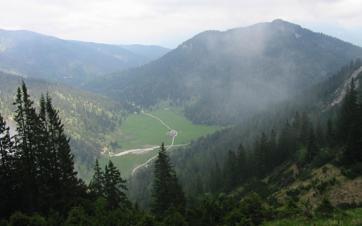
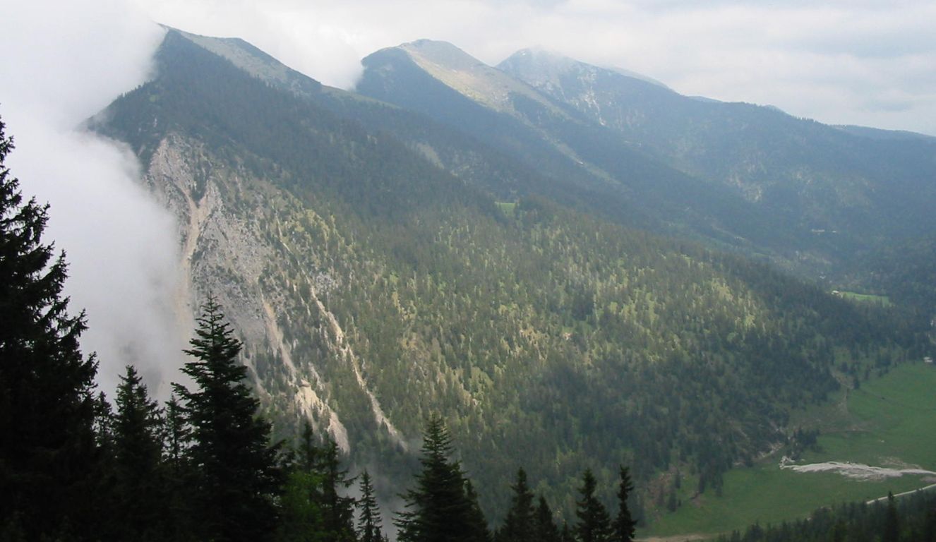
Photos
Important stuff
- If you want to share a group ticket let me know!
- You should definitely check the weather!
- For my peace of mind, some conditions apply!