
Date
27/09/2009
Journey there
| Dep. Alte Heide | 07:57 | (via Marienplatz) |
| Arr. Hauptbahnhof | 08:13 | |
| Meet Hauptbahnhof | 08:20 | (Meet under departure board, platforms 25-26) |
| Dep. Hauptbahnhof | 08:47 | (platform 5) |
| Arr. Rosenheim | 09:29 | |
| Dep. Rosenheim | 09:35 | (platform 7) |
| Arr. Brannenburg | 09:44 |
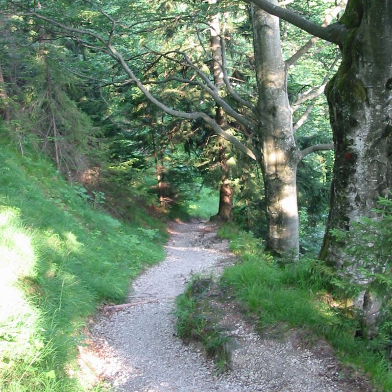
Hike start point
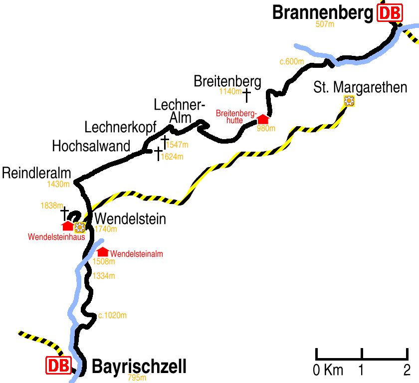
Hike map
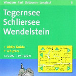
Hike map in other formats
![]()
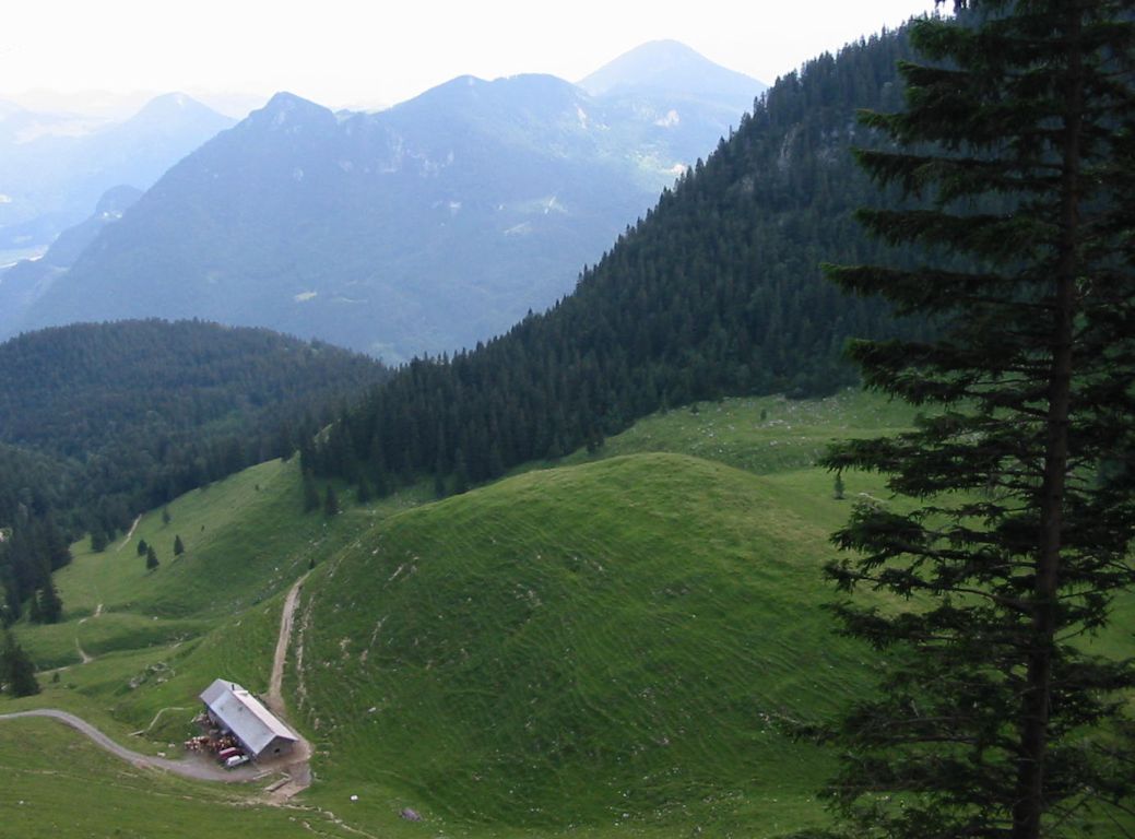
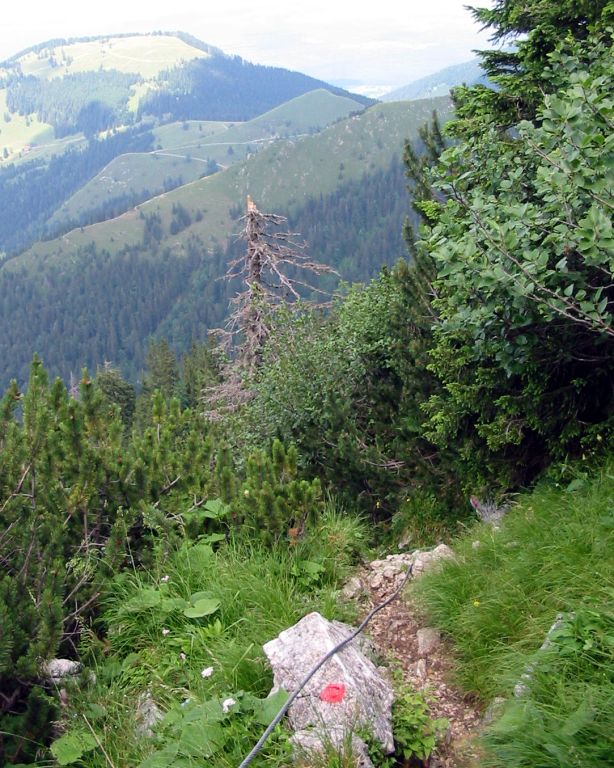
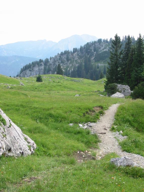
Hike description
- From Brannenburg Bahnhof (507m) walk 600m south-east up to the main road.
- Cross the road and continue in the same direction on the footpath by the stream for 1Km.
- Cross the road and continue in the same direction on the footpath to the right, which has the stream beside it only for about 700m before the path forks.
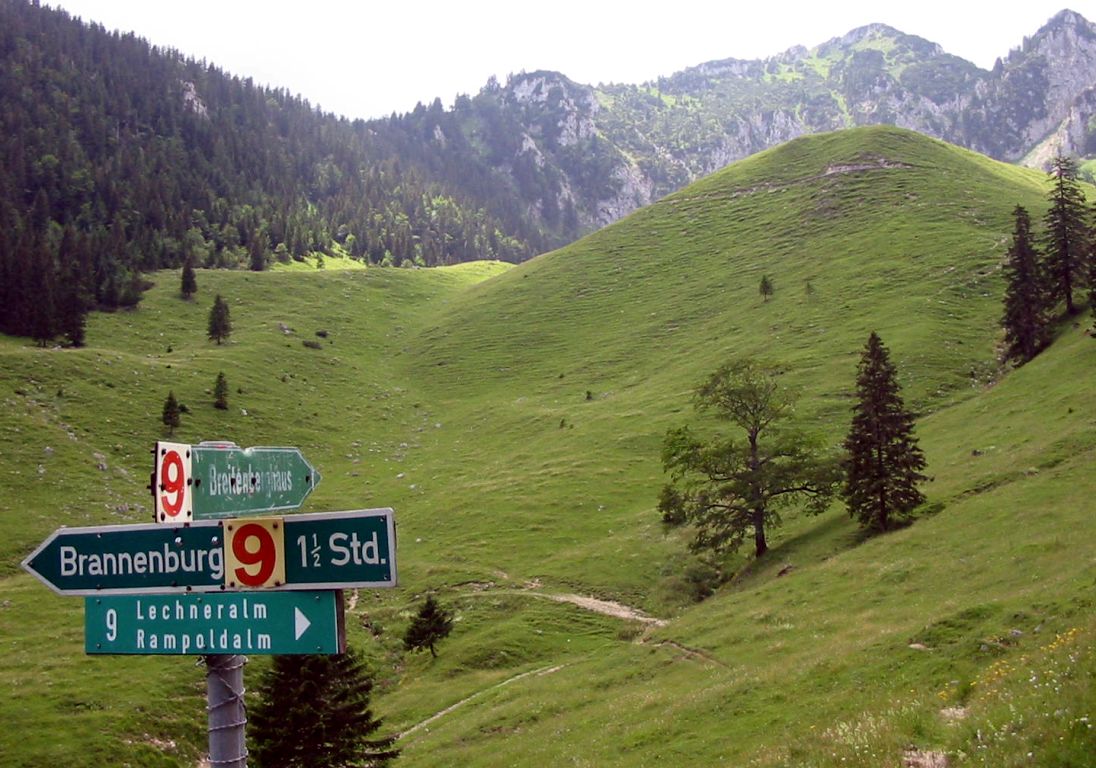
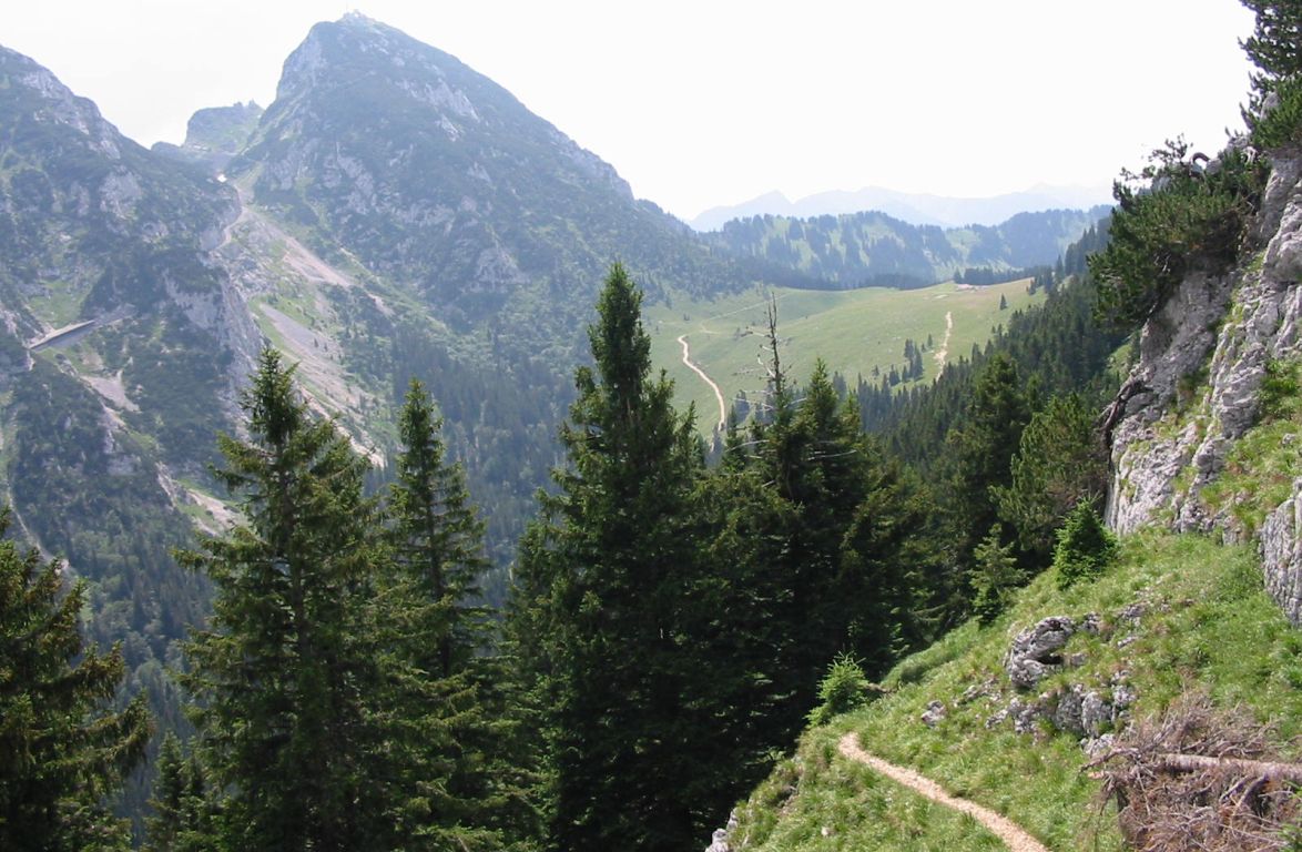
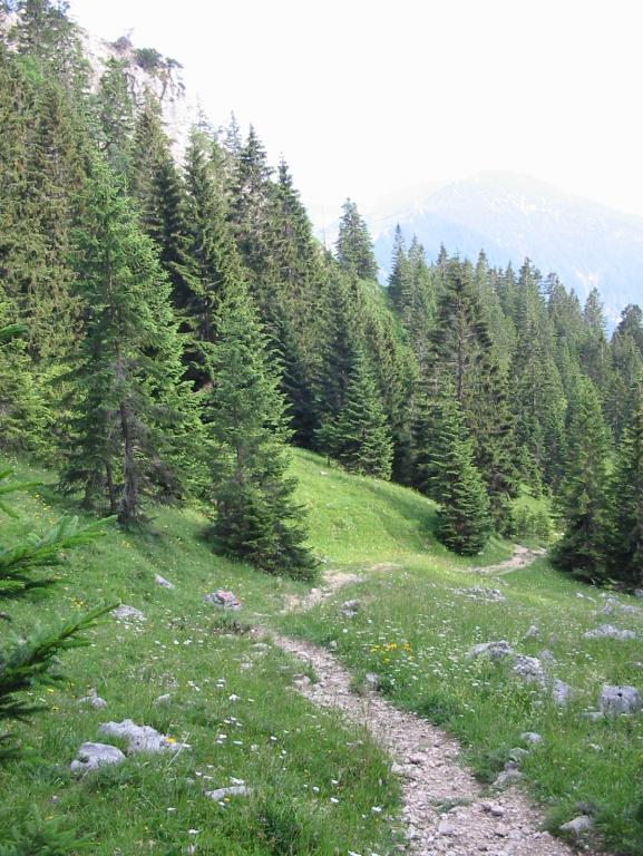
- Then follow the left fork east for about 400m, and then the right fork for 1Km to Baumgarten (c.600m). It is then about a further 3Km to Breitenberg Hütte (980m).
- Go east for 2Km to Lechner-Alm (c.1250m).
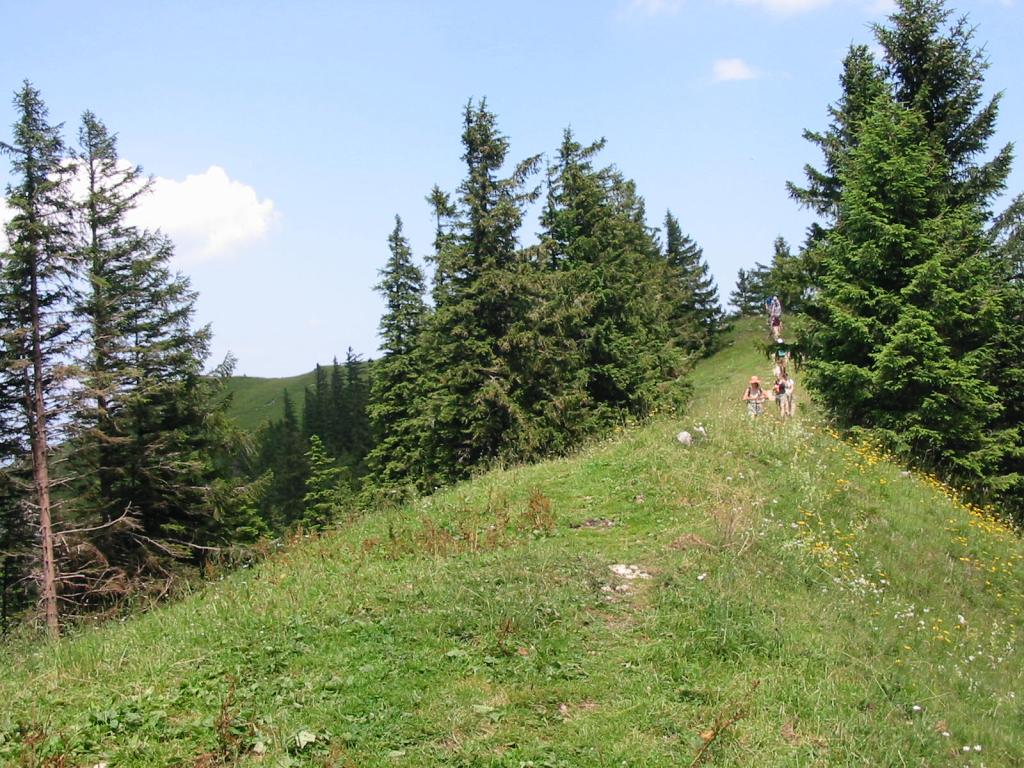
- Follow the path for 3Km as it doubles back east towards Jochleite and doubles back again west to the ridge just past Hochsalwand (1624m).
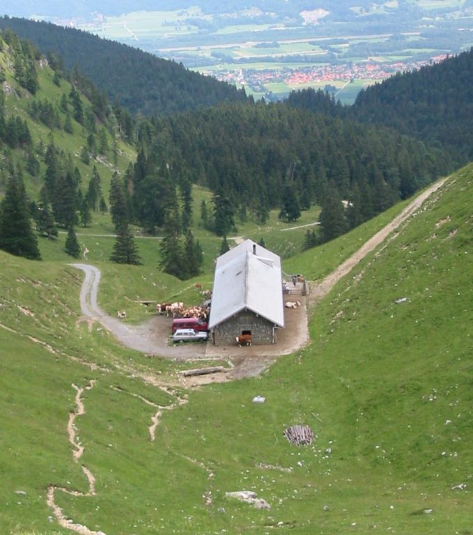
- Follow the path which leads down from the ridge for 2Km down to Reindleralm (1430m).
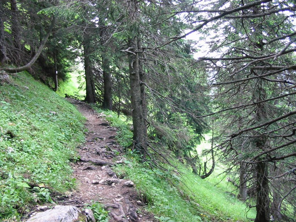
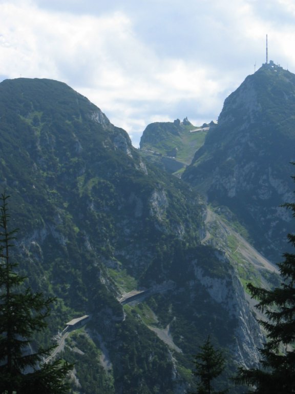
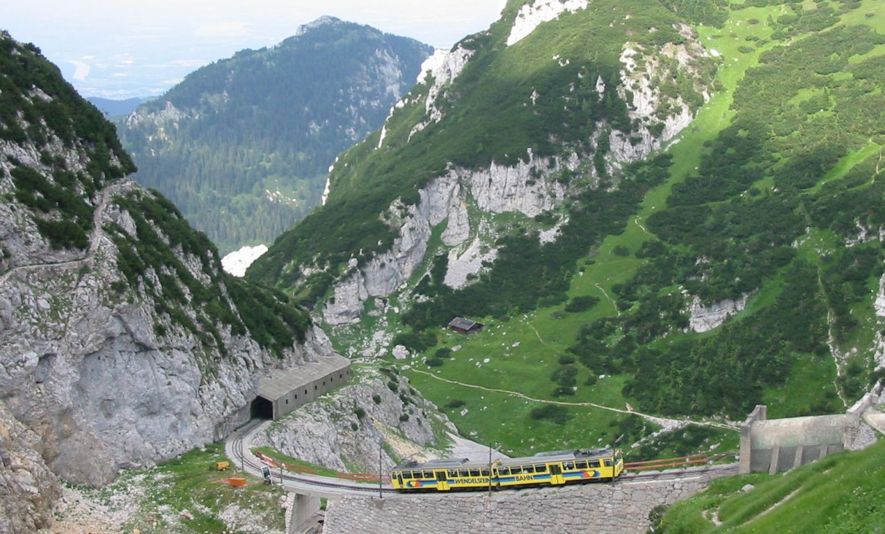
- Follow the path for 2Km clockwise around and up Wendelstein (1740m).
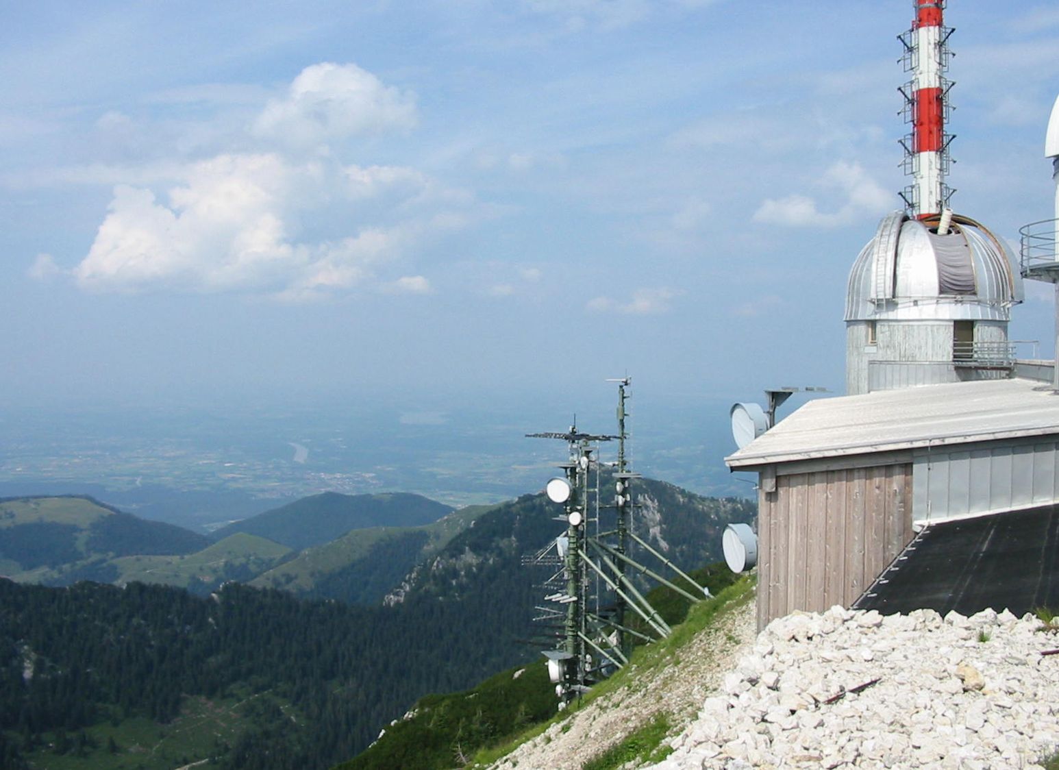
- If time permits, walk 1Km to the observatorium (1838m).
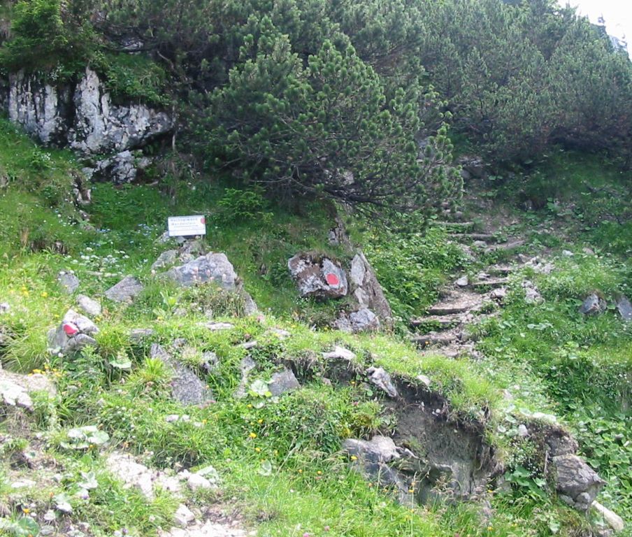
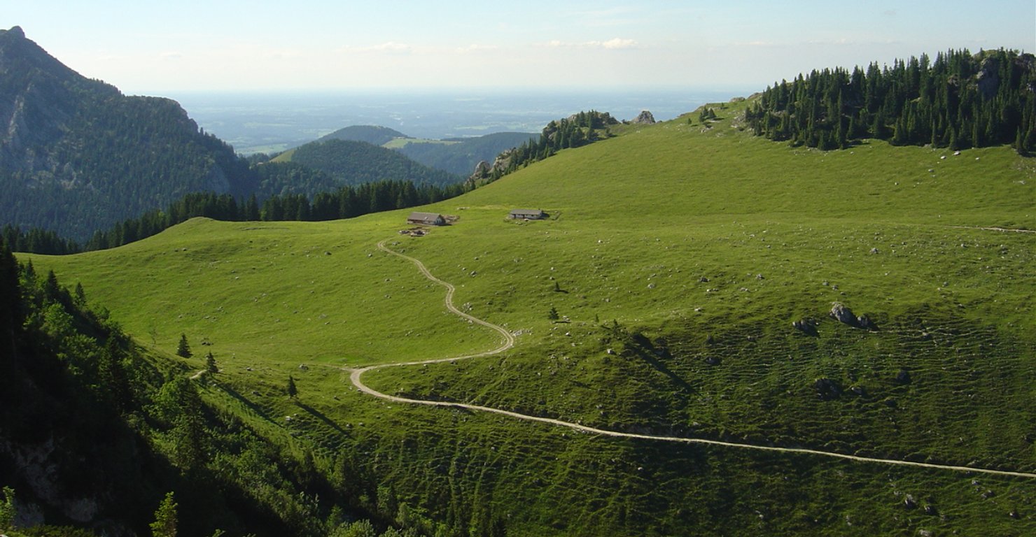
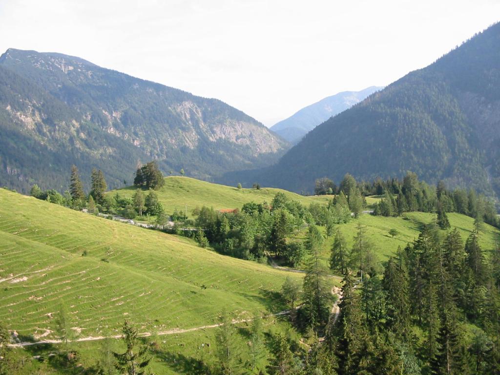
- Then follow the south path for 5Km, via Siegelalm (1334m) and Zetteralm (c.1020m) to the main road (1011m).
- Then follow the footpath initiallly next to the road east and then south for 1.5Km into Bayrischzell (795m).
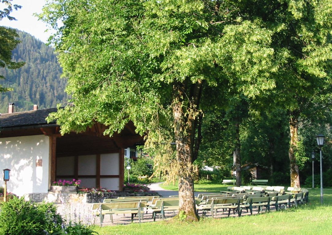
Hike end point
Afterwards
We’ll eat at the Hotel Wendelstein Restaurant in Bayrischzell. (Please try to make it for the meal – it’s the best part of the day!)
Journey back
| Dep. Bayrischzell | 18:07 | 19:07 | 20:07 | 21:07 | 22:07 |
| Arr. Hauptbahnhof | 19:29 | 20:29 | 21:29 | 22:29 | 23:29 |
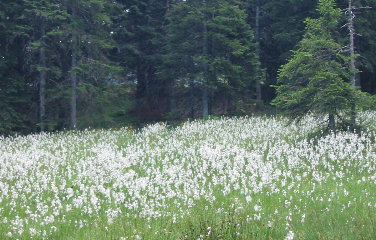
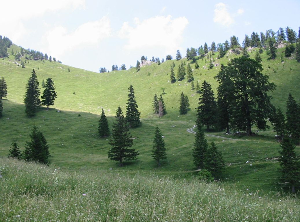
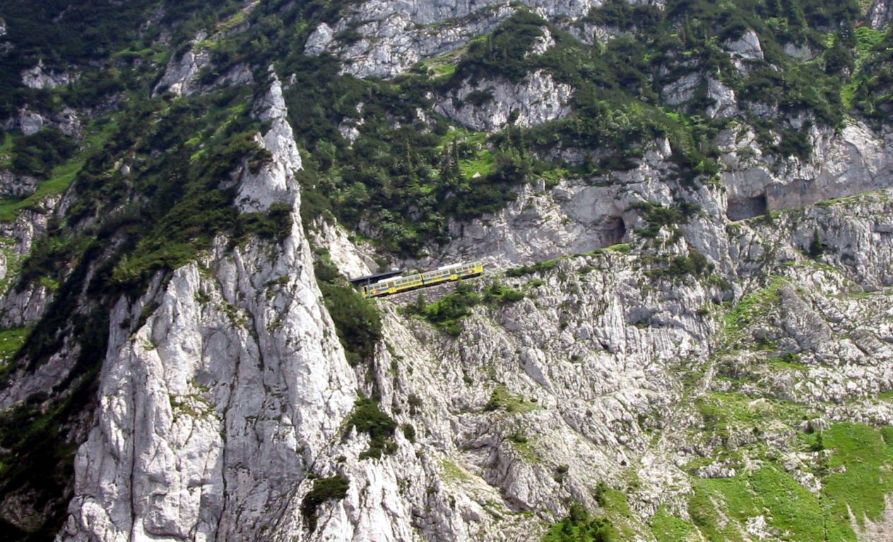
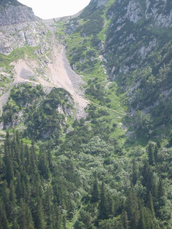
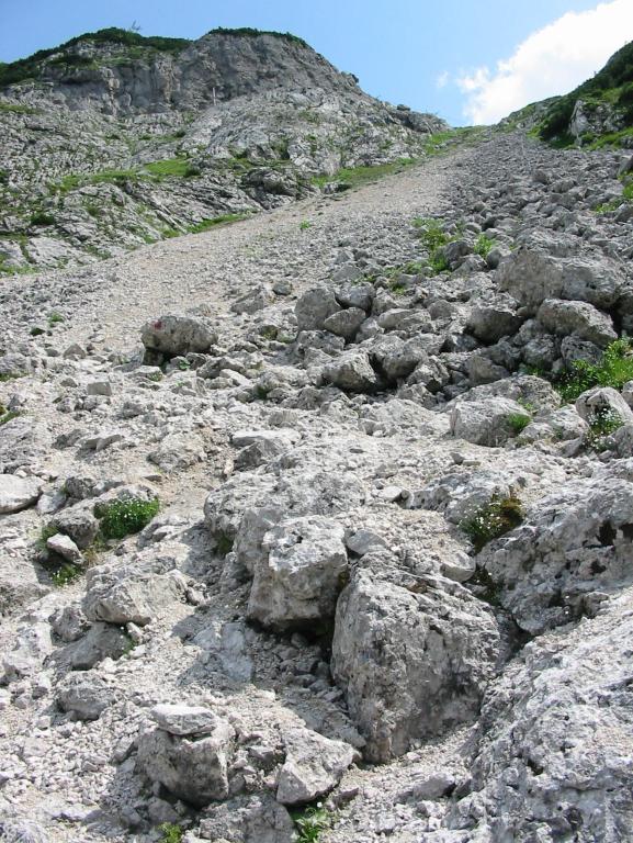
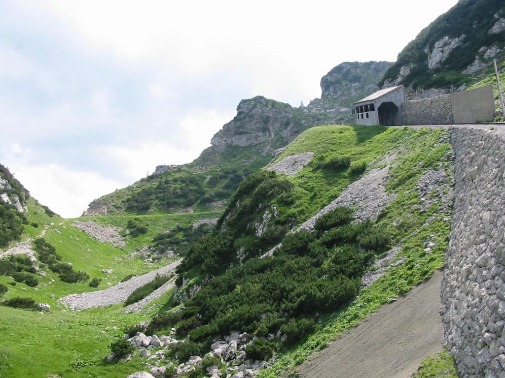
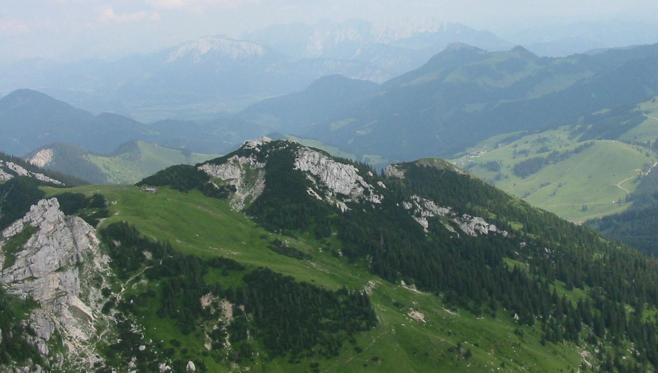
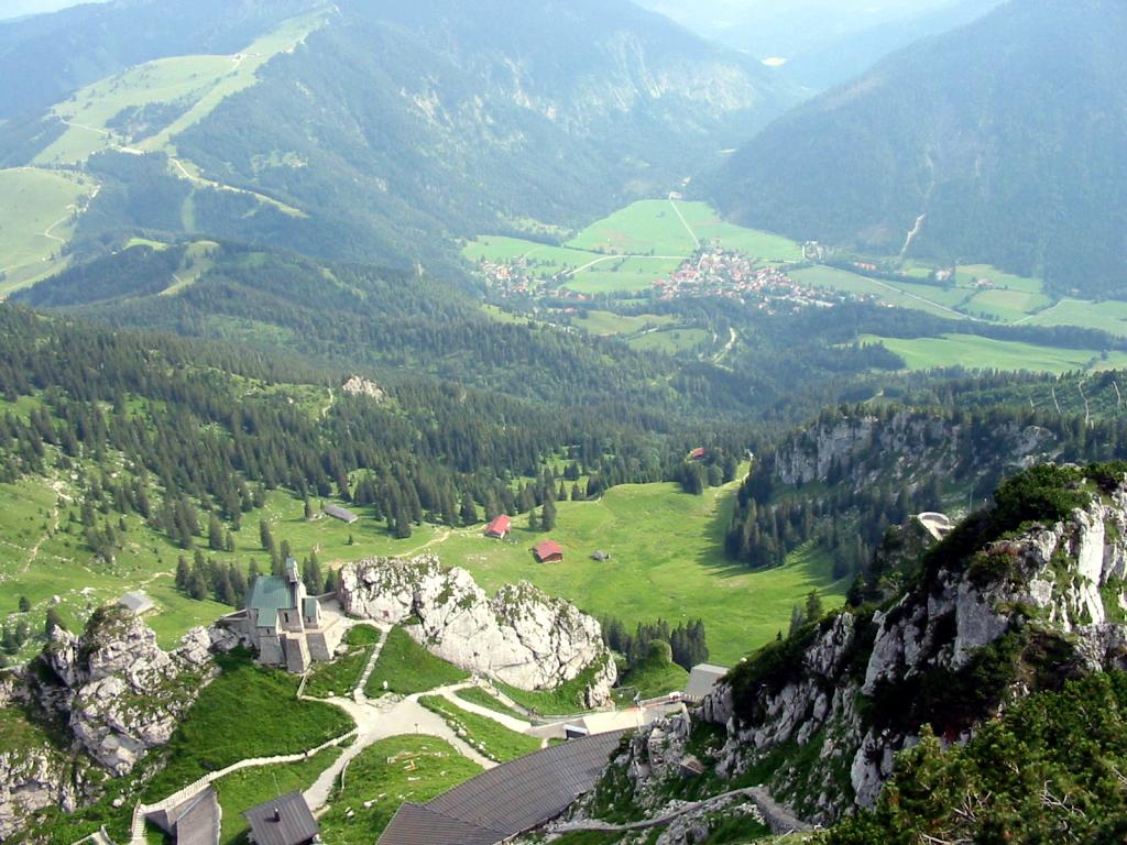
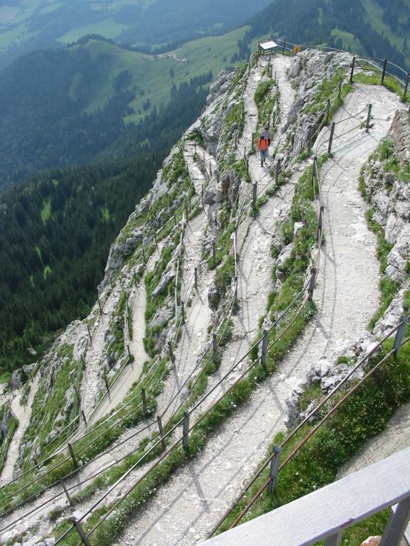
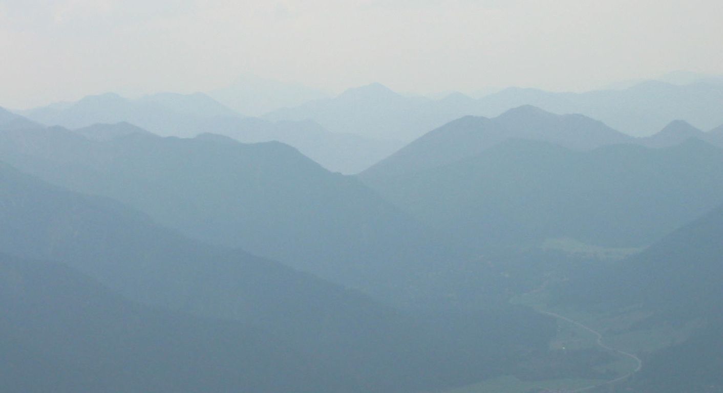
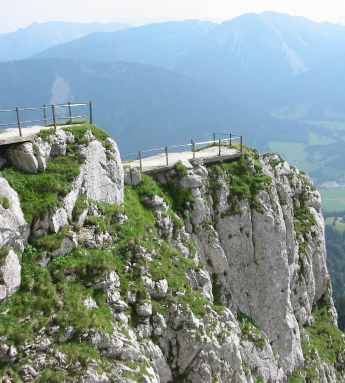
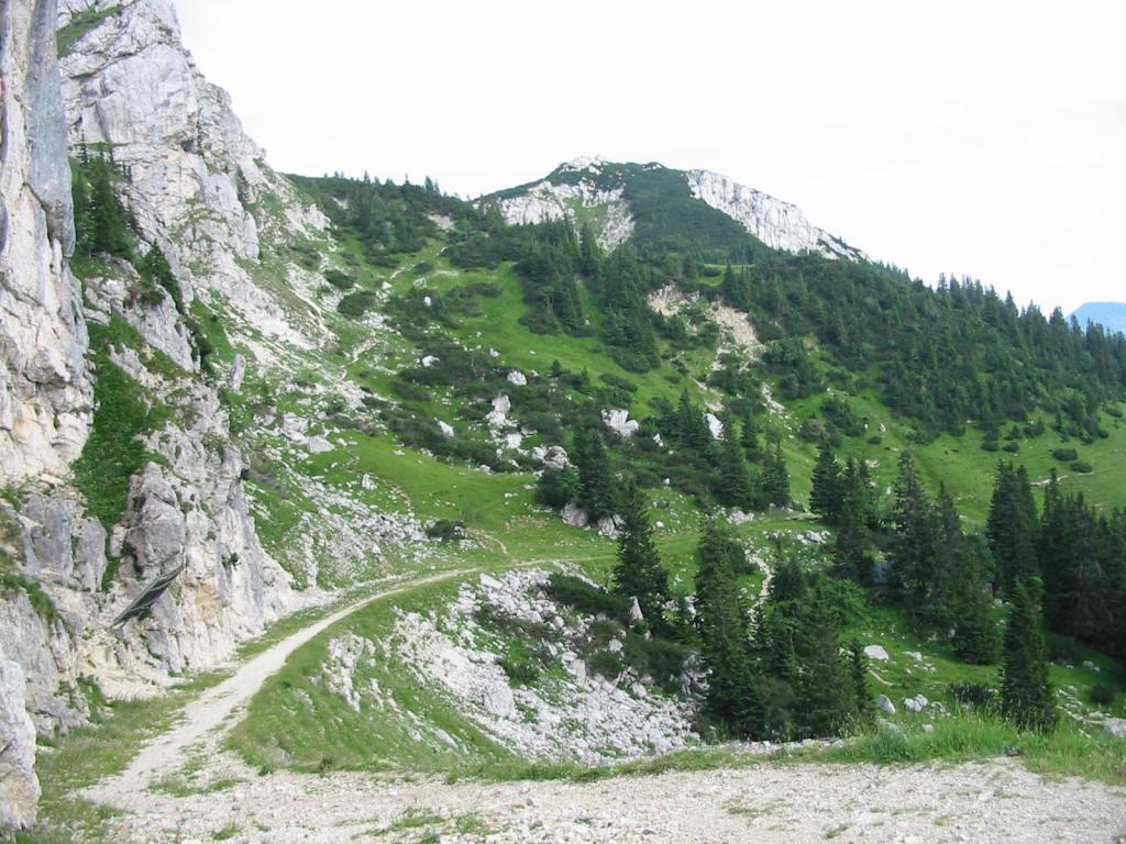
Photos
Important stuff
- If you want to share a group ticket let me know!
- You should definitely check the weather!
- For my peace of mind, some conditions apply!