
Date
29/06/2008
Journey there
| Dep. Ismaning | 06:36 | |
| Arr. Hauptbahnhof | 07:03 | |
| Meet Hauptbahnhof | 07:15 | (Meet under departure board, platforms 25-26) |
| Dep. Hauptbahnhof | 07:32 | |
| Arr. Garmisch | 08:57 | |
| Dep. Garmisch | 09:04 | 2 Süd |
| Arr. Mittenwald | 09:25 |
Hike start point
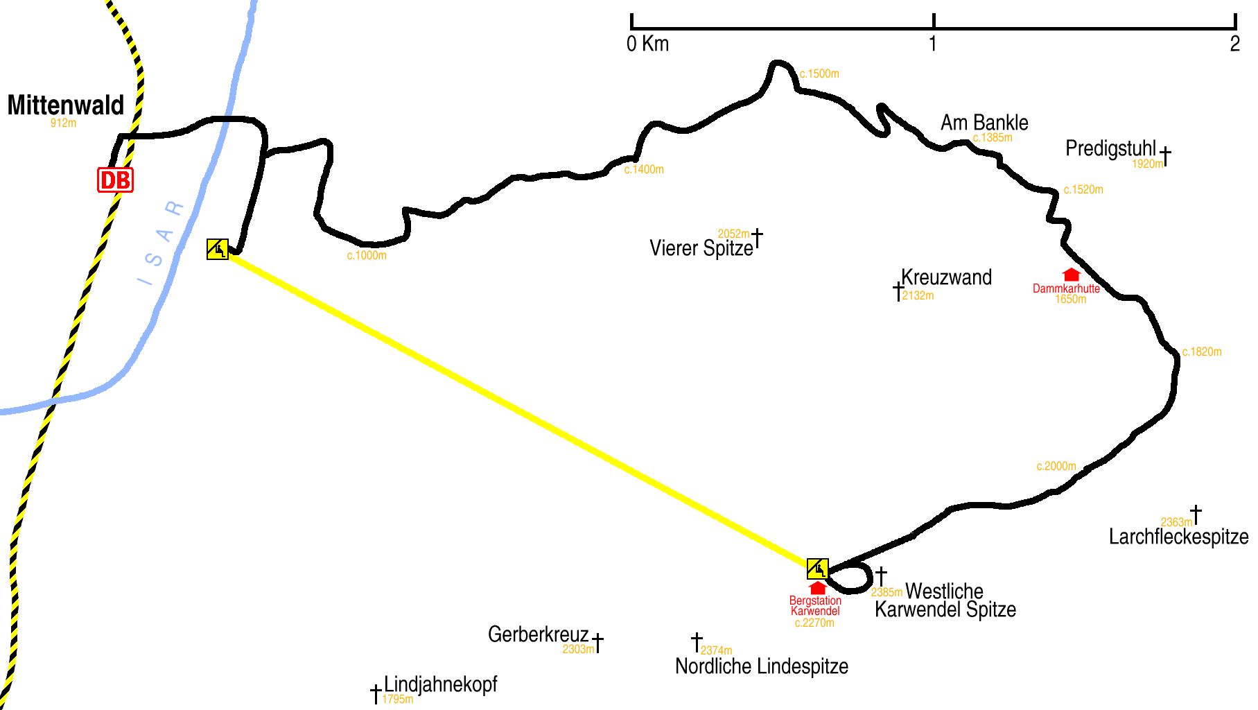
Hike map
Hike map in other formats
![]()
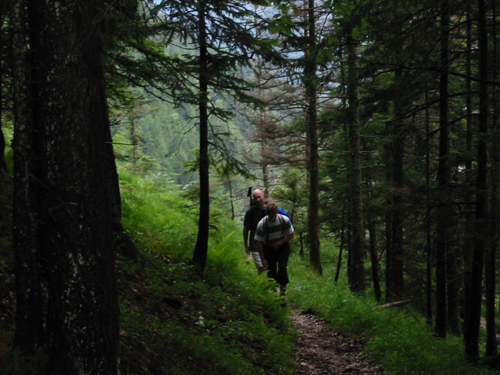
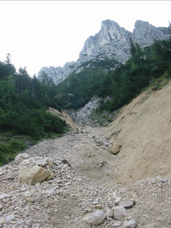
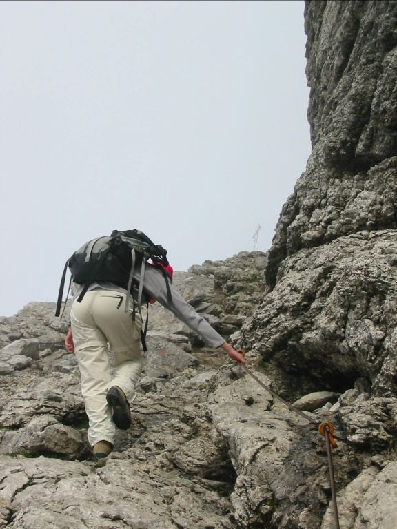
Hike description
- From Mittenwald Bahnhof (912m) walk back along the platform to the level-crossing, and turn right, crossing the tracks.
- Walk under the autobahn, and immediately turn right, and walk south for about 500m. Look for signs to Dammkarhütte über Ochsenboden.
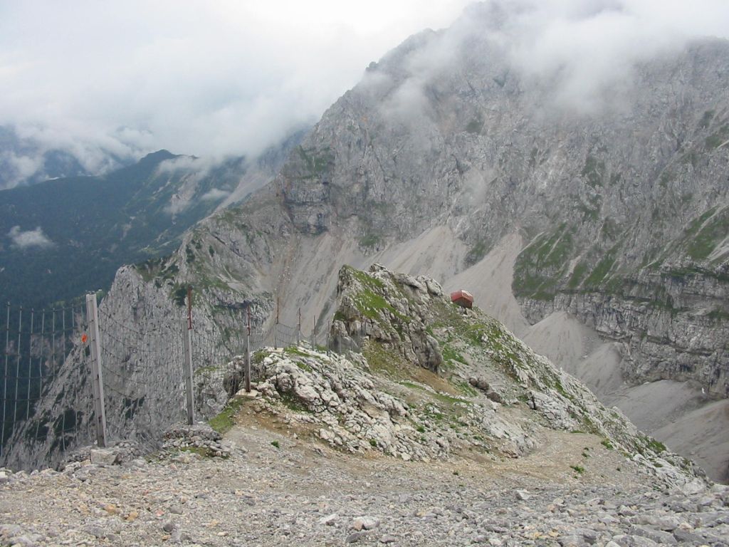
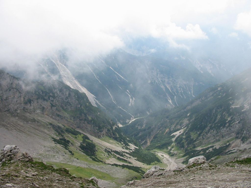
- Turn east onto the Ochsenbodensteig pathway, and follow this path for about 5Km to Am Bankle (c.1395m).
- Take the fork south east in the direction of Dammkarhütte (1650m) and walk 6Km clockwise around Kreuzwand, to the entrance to the winter seilbahn and tunnel (c.2240m).
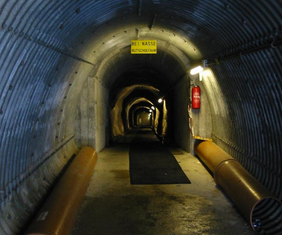
- Walk 100m through the tunnel to the Karwendel bahn lift station (c.2270m).
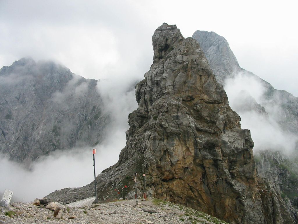
- Walk 1Km anticlockwise around the rim of the spitze and then climb the short distance to the peak (2385m).
- Return to the path on the rim, and continue round back to the lift station and take the lift down.
Hike end point
Afterwards
We’ll eat somewhere in Mittenwald; there are several possibilities on Obermarkt, 400m WNW from the train station. (Please try to make it for the meal – it’s the best part of the day!)
Journey back
| Dep. Mittenwald | 17:37 | 18:37 | 19:37 | 20:37 | 21:37 | 22:37 |
| Arr. Hauptbahnhof | 19:27 | 20:27 | 21:27 | 22:26 | 23:26 | 00:27 |
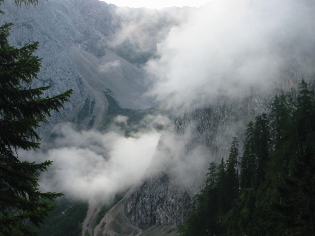
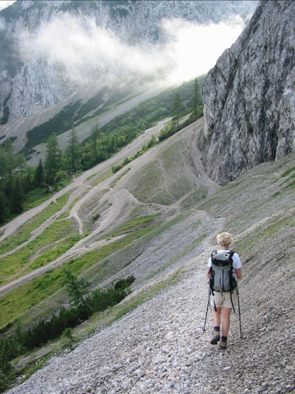
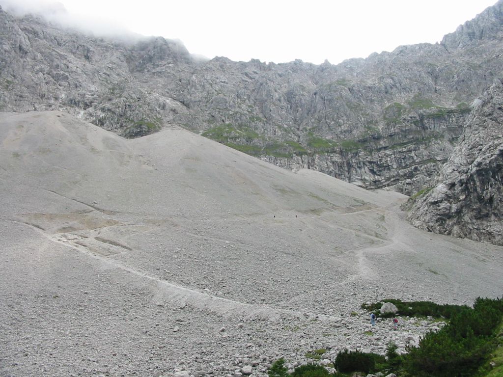
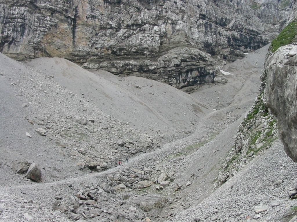
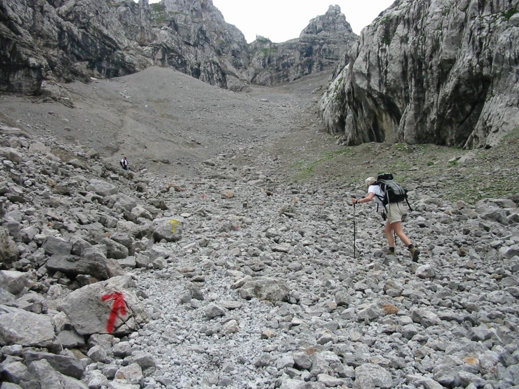
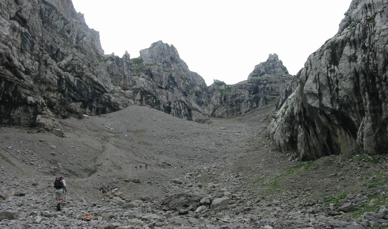
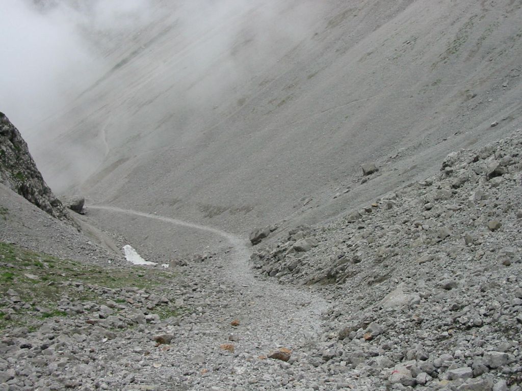
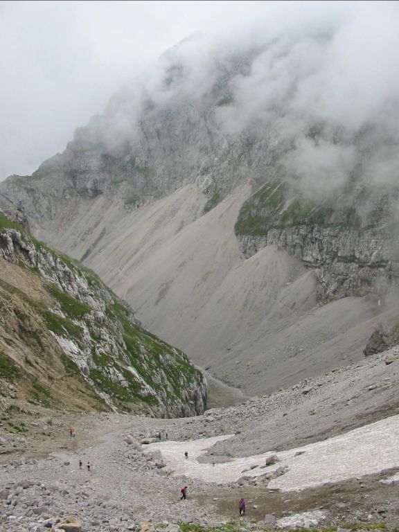
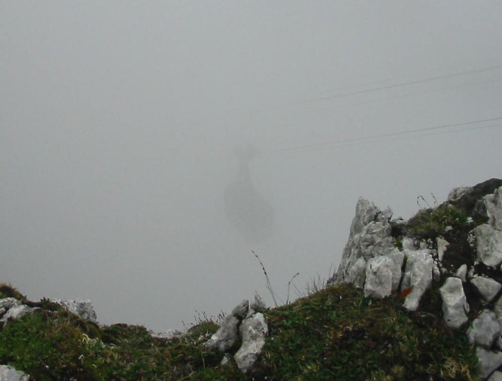
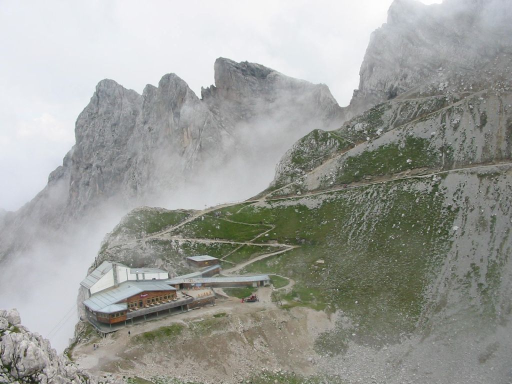
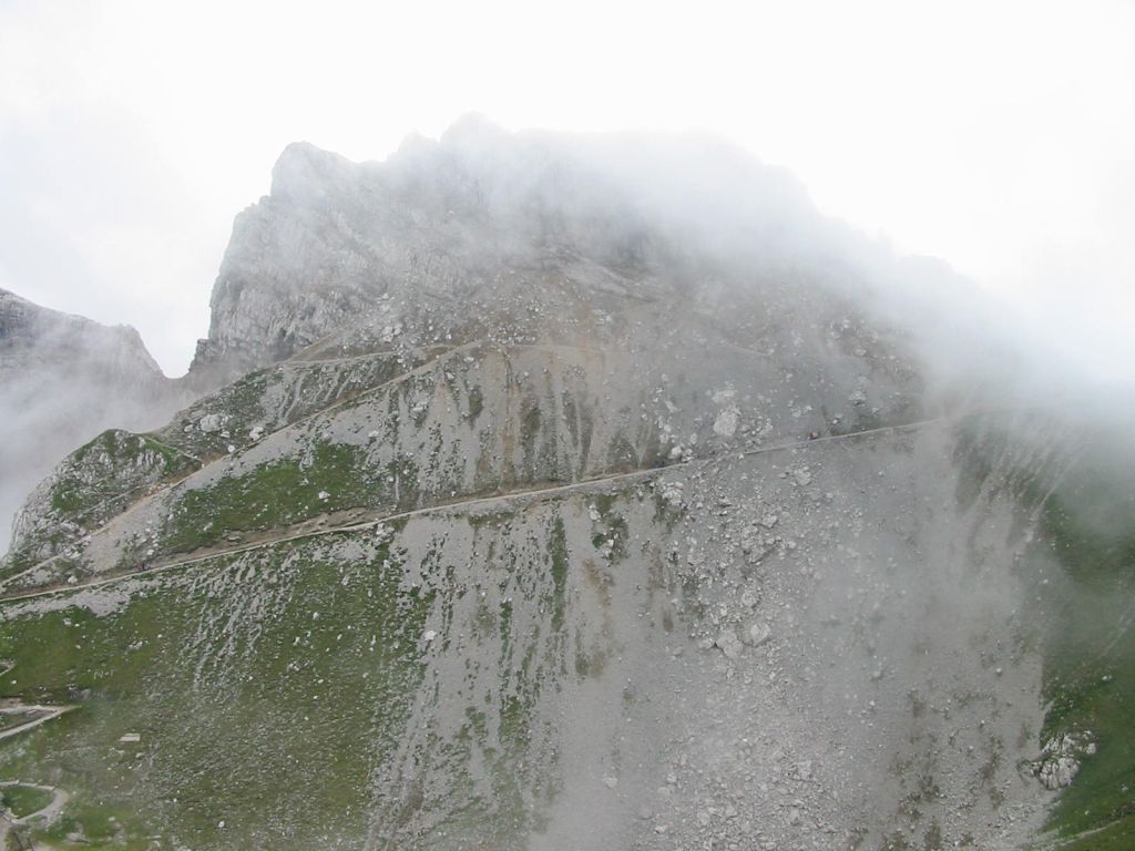
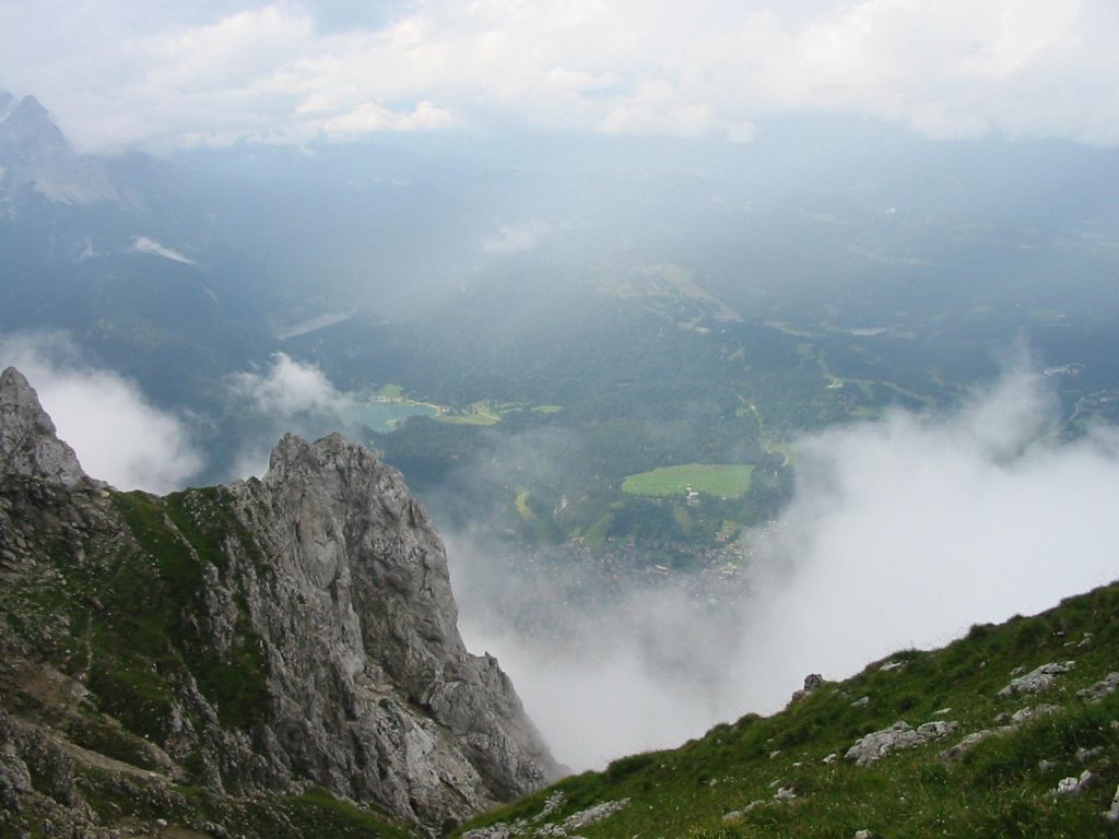
Photos
Important stuff
- If you want to share a group ticket let me know!
- You should definitely check the weather!
- For my peace of mind, some conditions apply!