
Date
25/09/2005
Journey there
| Dep. Garching-Hochbrück | 07:35 | (via Odeonsplatz, arrives Bhf 08:03) |
| Dep. Ismaning | 07:30 | (arrives Bhf 08:00) |
| Meet Hauptbahnhof | 08:10 | (Meet under departure board, platforms 25-26) |
| Dep. Hauptbahnhof | 08:32 | |
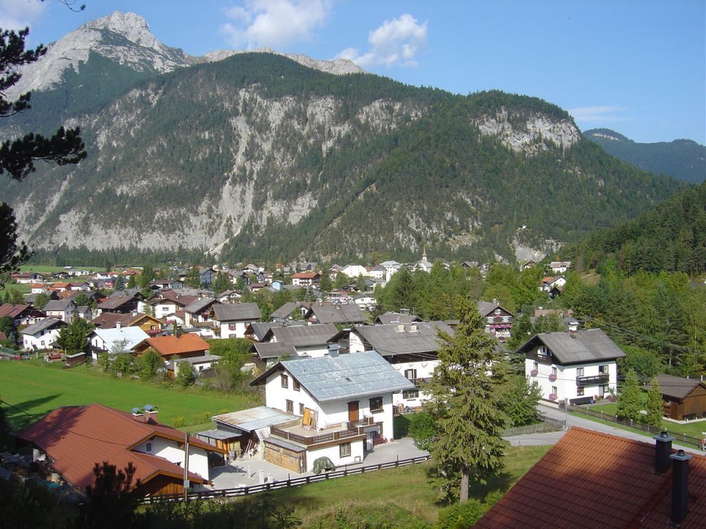
| Arr. Scharnitz | 10:33 |
Hike start point
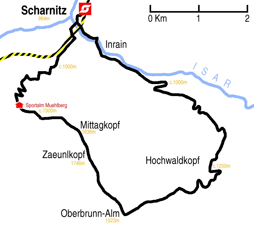
Hike map
Hike map in other formats

![]()
Hike description
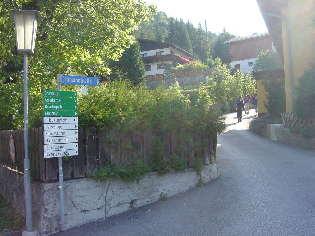
- From Scharnitz Bahnhof (964m) walk 100m south and turn left immediately before the Isarbrücke into Inrainstrasse, cross the bridge over the railway.
- Immediately after the bridge ignore the north-east and east turnings and continue going east on the Inrainstrasse.
- After about 100m there is a turning to the right which is a bridge over the Isar. There is also a signpost which indicates Inrain can be reached either by crossing the bridge or by continuing east. Continue east without crossing the bridge.
- Walk 1Km further to Inrain – don’t take the Pirzlkapele/Plattstein path, which is heavily signposted.
- When you reach the next bridge to the right, cross it. 100m further on take the footpath on the left which doubles back and rises above Inrain.
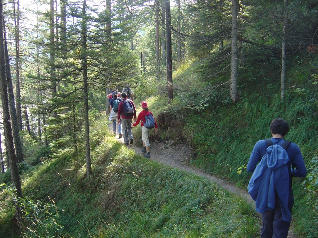
- Then walk 5Km south-east, firstly on a ledge above the Isar, and then on a path veering right around the Hochwaldkopf to where the path meets the Isartal (1216m).
- Turn right south-west and walk 2Km around two half-loops to where the path forks again, and take the left fork south-west for 2Km to Oberbrunn-Alm (1523m).
- Then turn north-west 2Km to Zänlkopf (1746m), a further 1Km to Mittagkopf (1638m), veer east 2Km to Sportalm-Hütte.
- Finally descend north-east 4Km back to Scharnitz.
Hike end point
Afterwards
We will eat somewhere in Scharnitz; there is quite a nice restaurant at the station. (Please try to make it for the meal – it’s the best part of the day!)
Journey back
| Dep. Scharnitz | 17:28 | 19:28 | 21:28 |
| Arr. Hauptbahnhof | 19:27 | 21:27 | 23:27 |
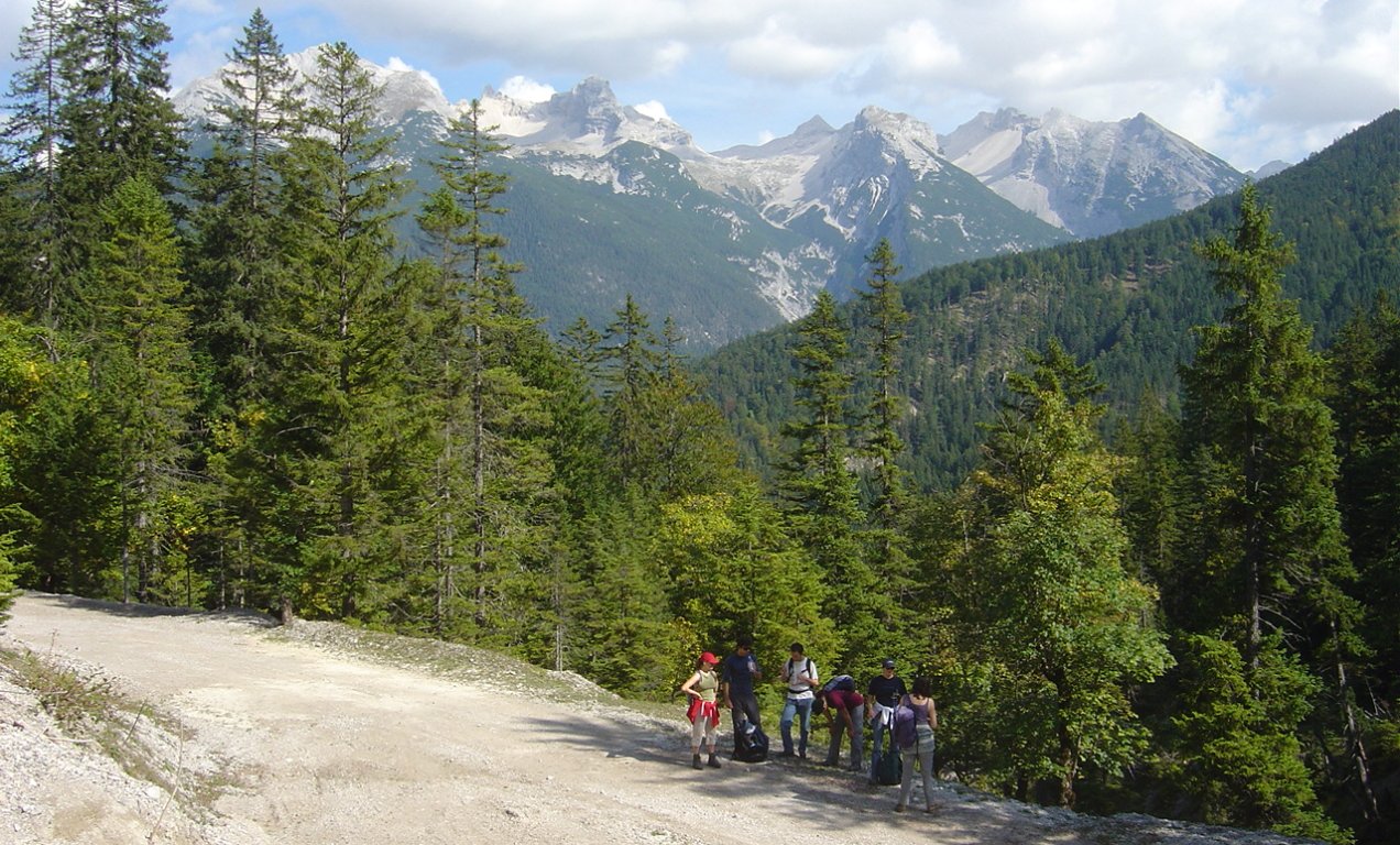
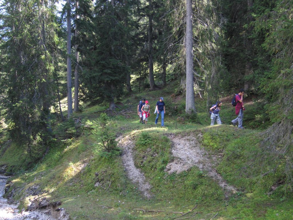
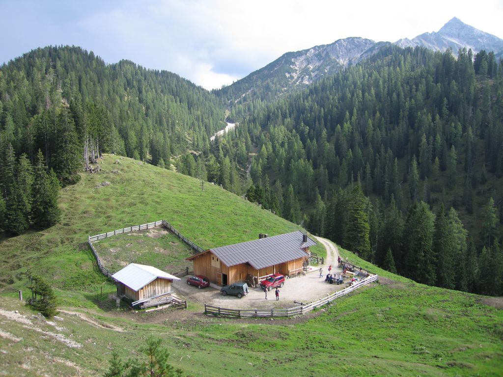
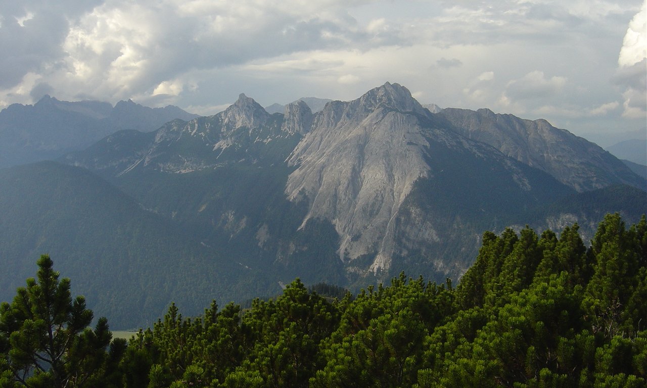
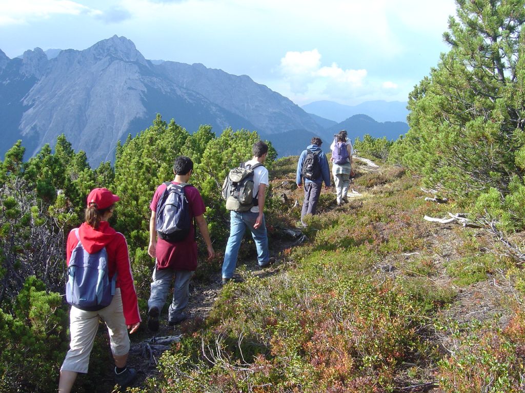
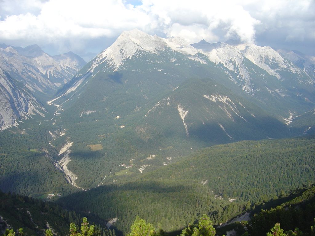
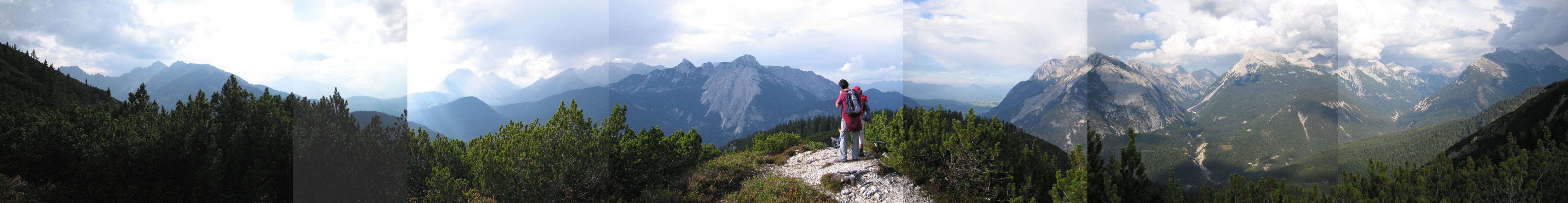
Photos
Important stuff
- If you want to share a group ticket let me know!
- You should definitely check the weather!
- For my peace of mind, some conditions apply!